|
|

|
|
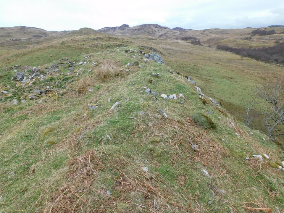
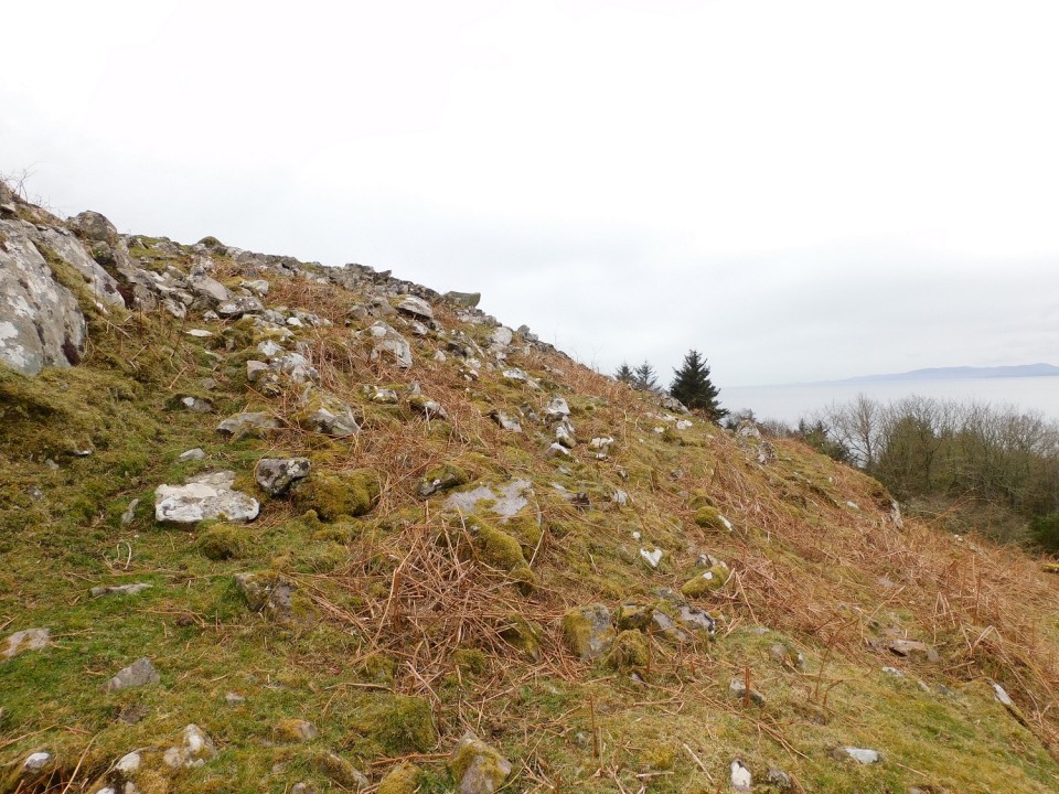
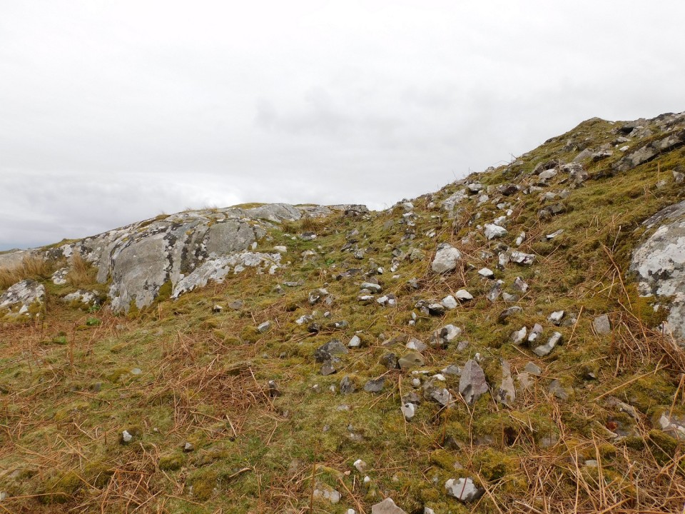
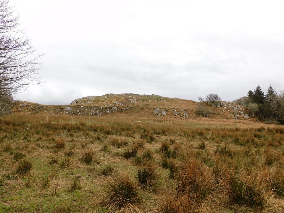
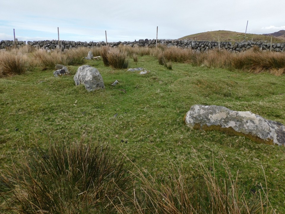
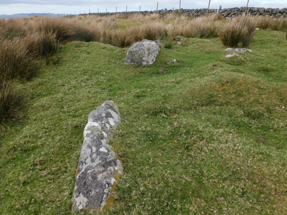
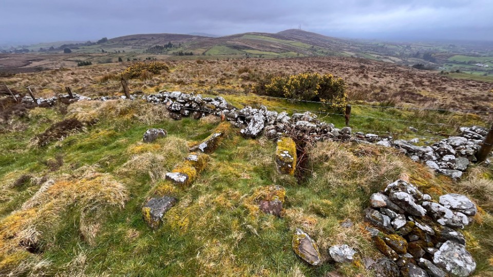
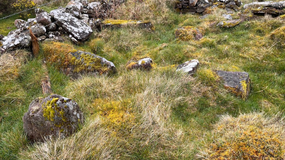
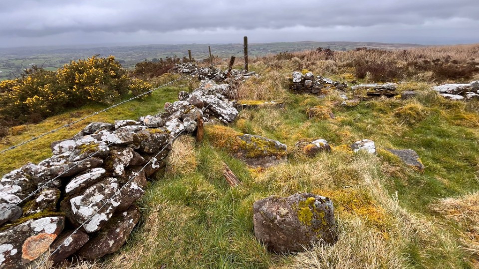
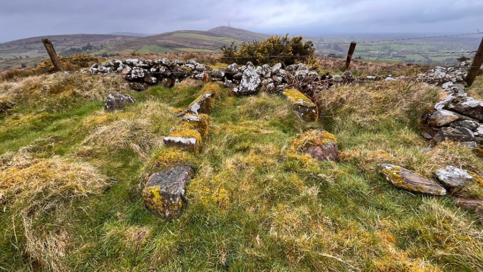
Dun A' Bhuilg (Hillfort) — Images (click to view fullsize) |
|
15th April 2024ce |
Kilmory Knap Chapel (Bullaun Stone) — Fieldnotes |
|
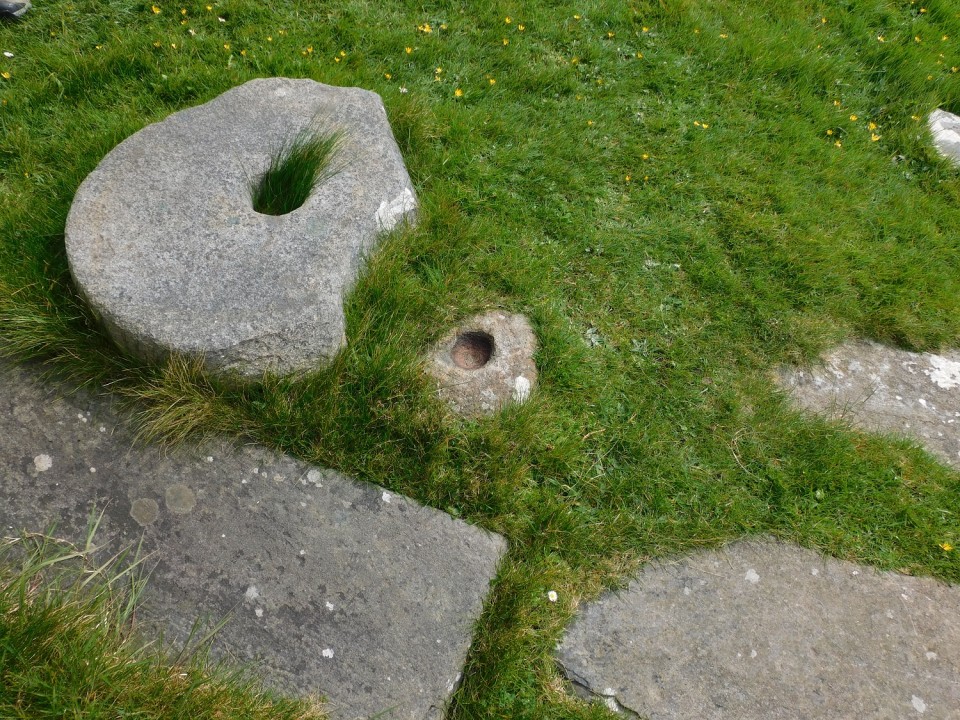
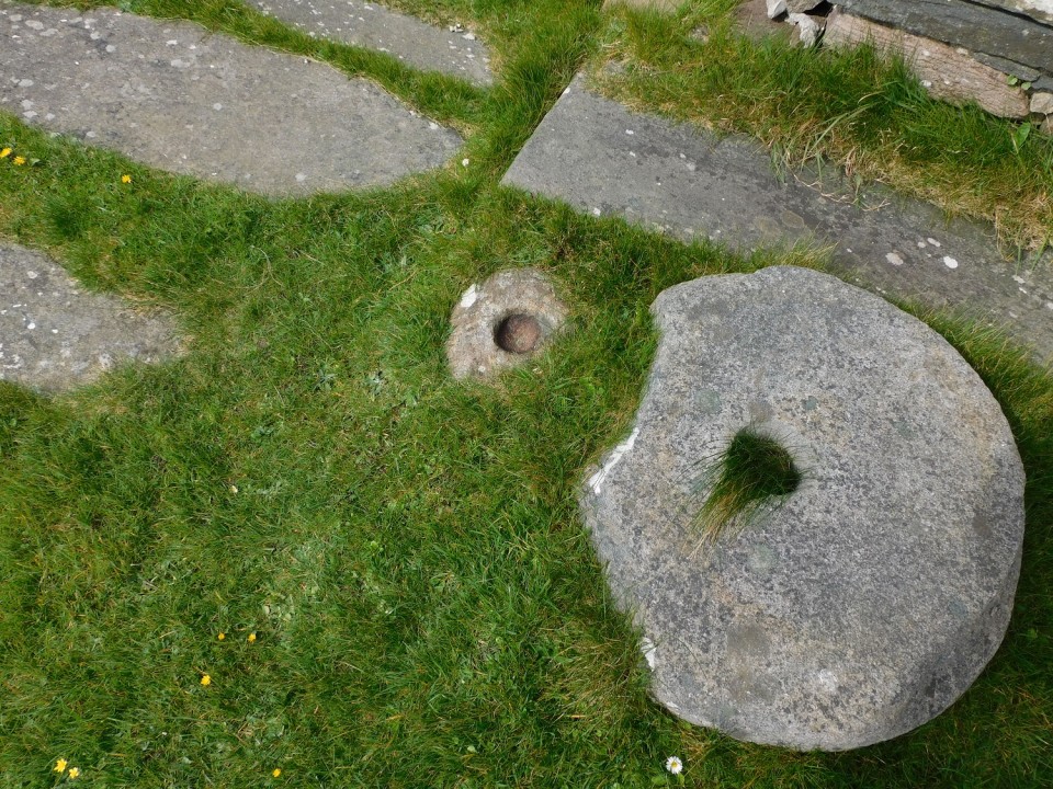
Not quite as remote as Carl makes out, but certainly near the end of the road. The chapel is well worth a look, near the door is a wee bullaun stone, it is about 10cm wide and 8cm deep. No idea why Canmore don't mention it or the spindle whorl next to it. Good to see the old ruins of the township being renovated even if it is for holiday homes. Visited 08/04/2024. |
14th April 2024ce |
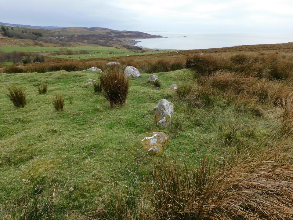
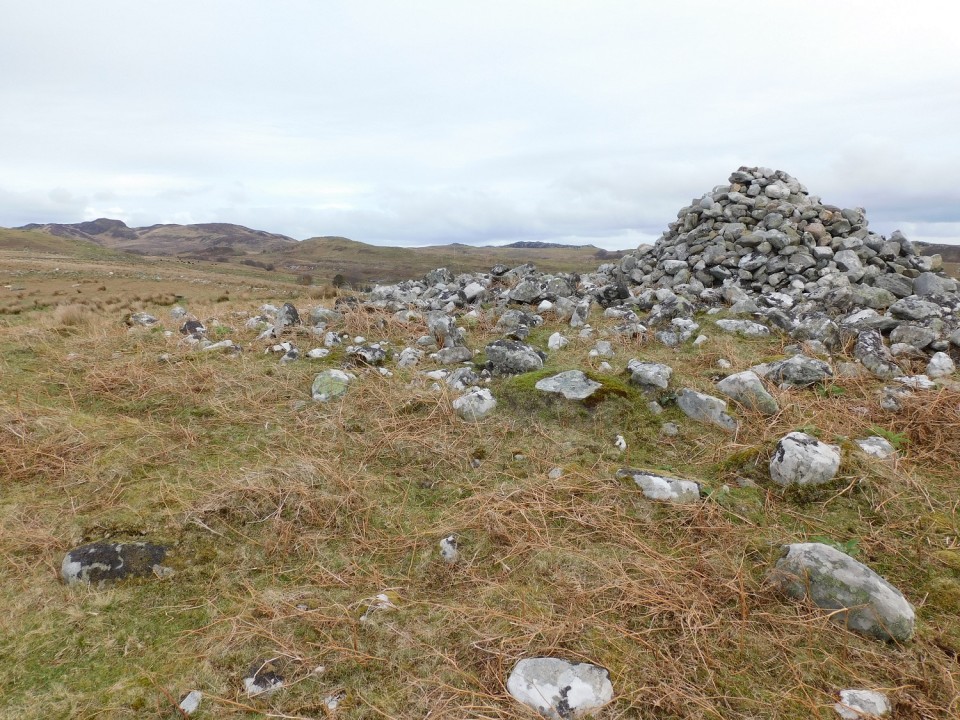
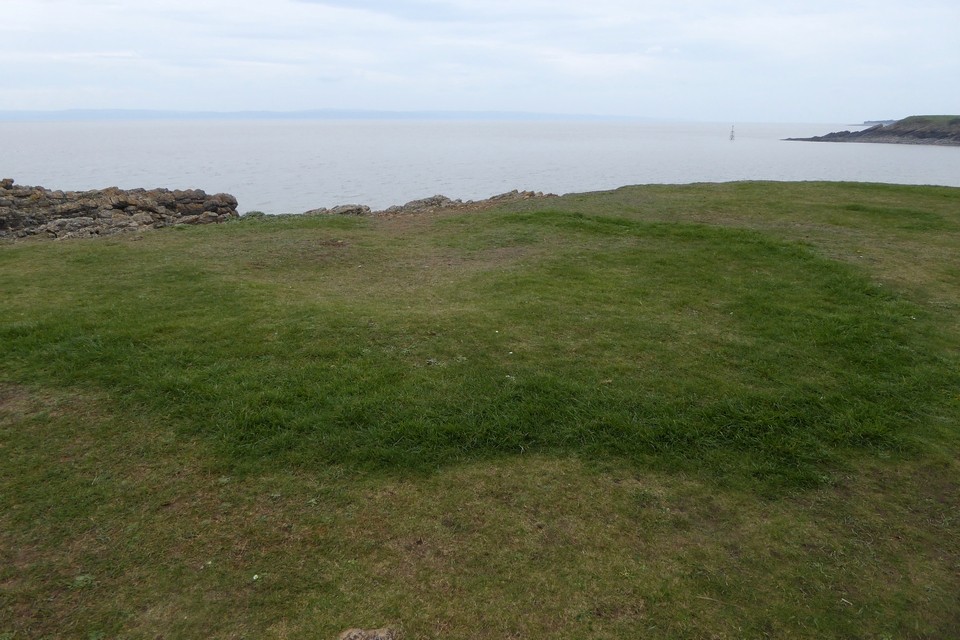
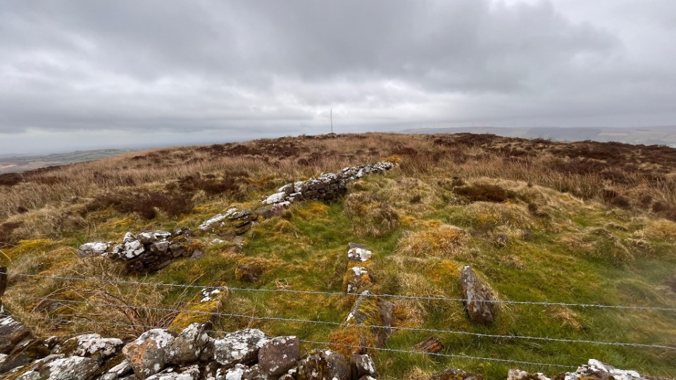
Ardnaw (Kerbed Cairn) — Images |
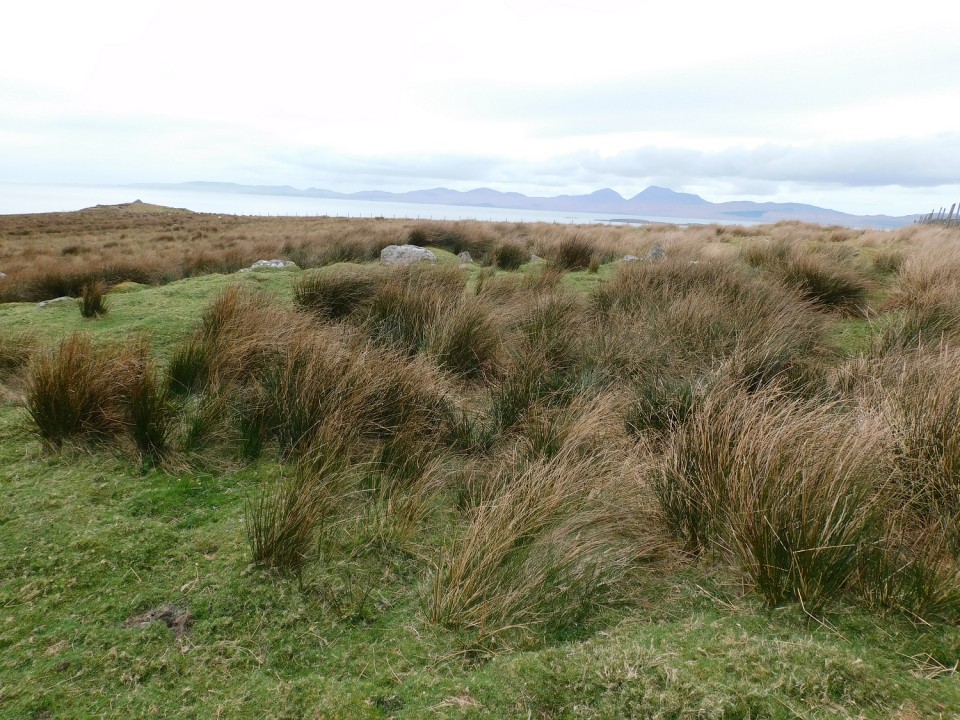       
|
14th April 2024ce |
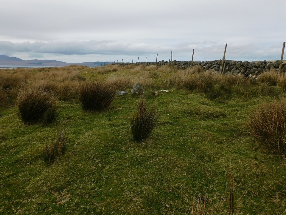
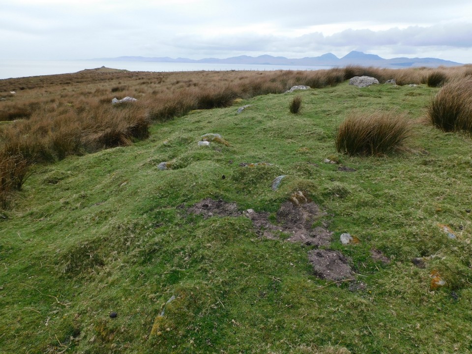
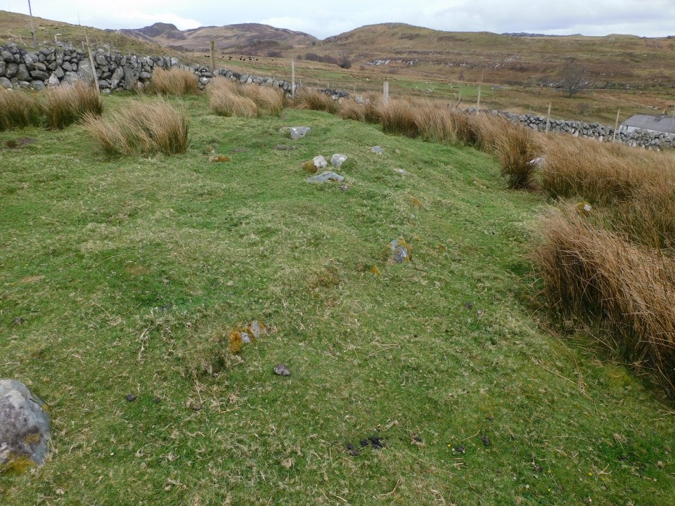
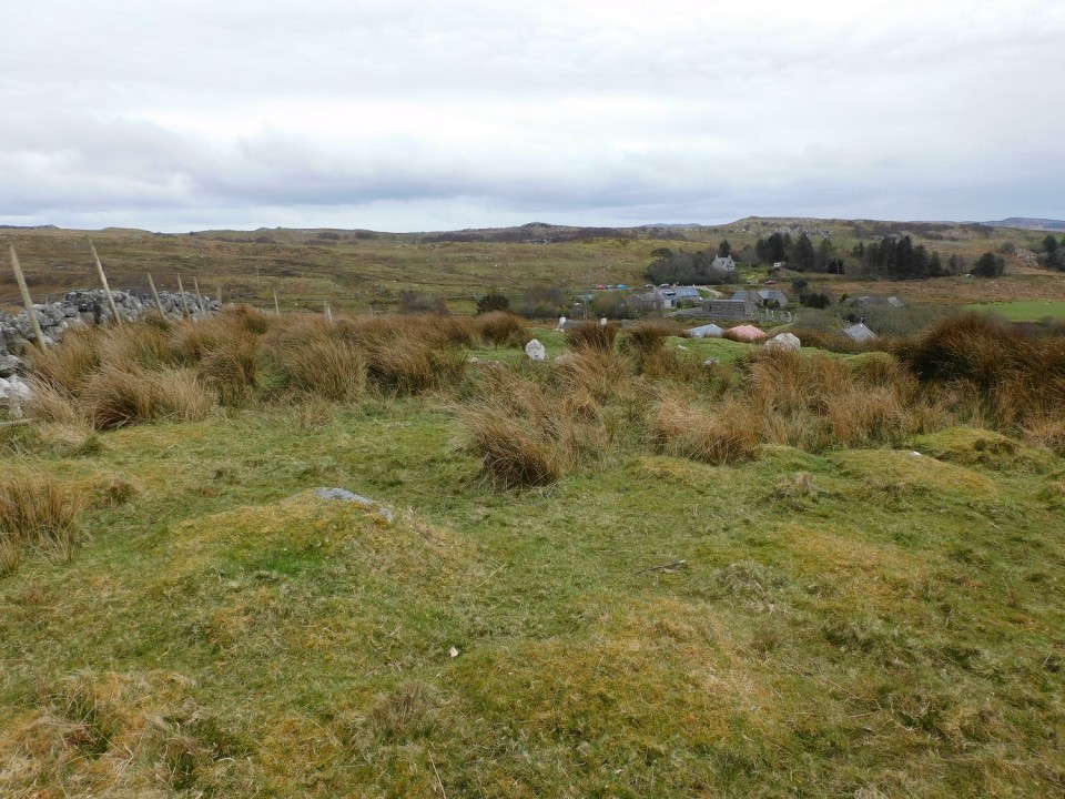
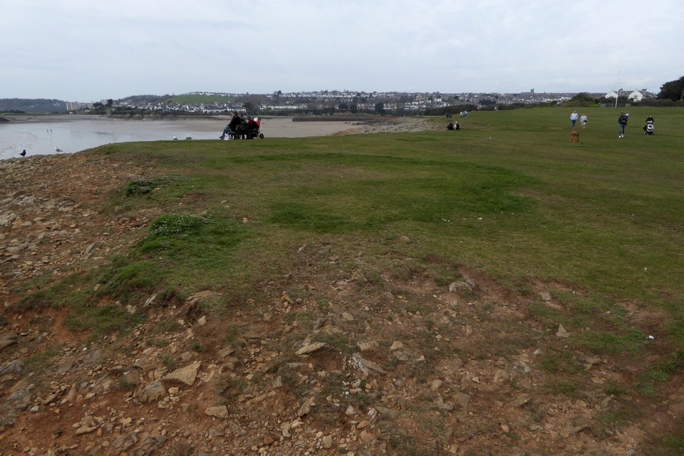
Dun Fhuarlit (Kerbed Cairn) — Images |
|
14th April 2024ce |
Kilmory Knap Chapel (Bullaun Stone) — Images |
|
14th April 2024ce |
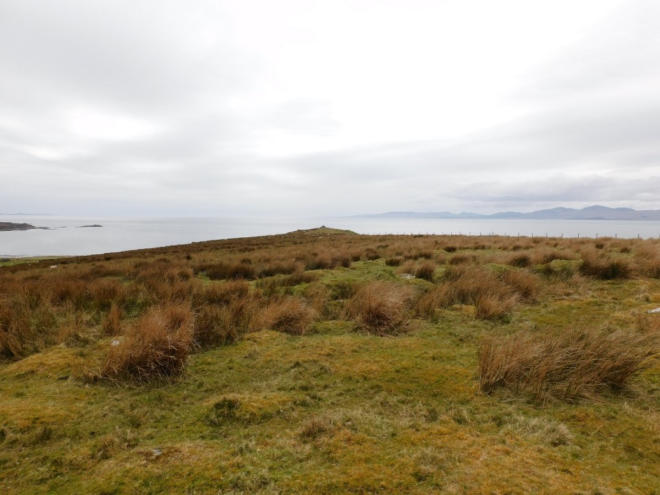
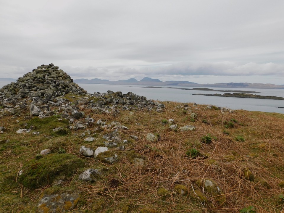
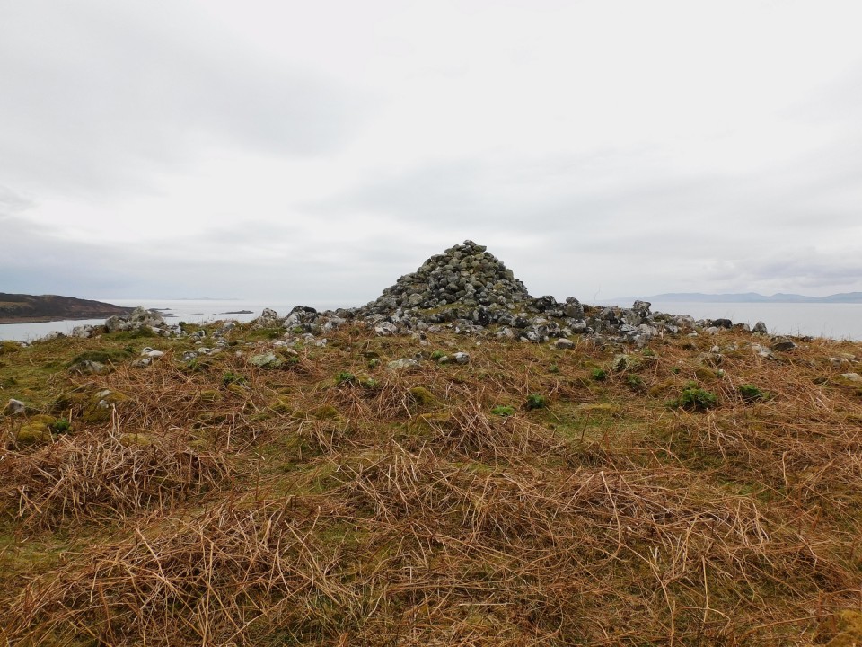
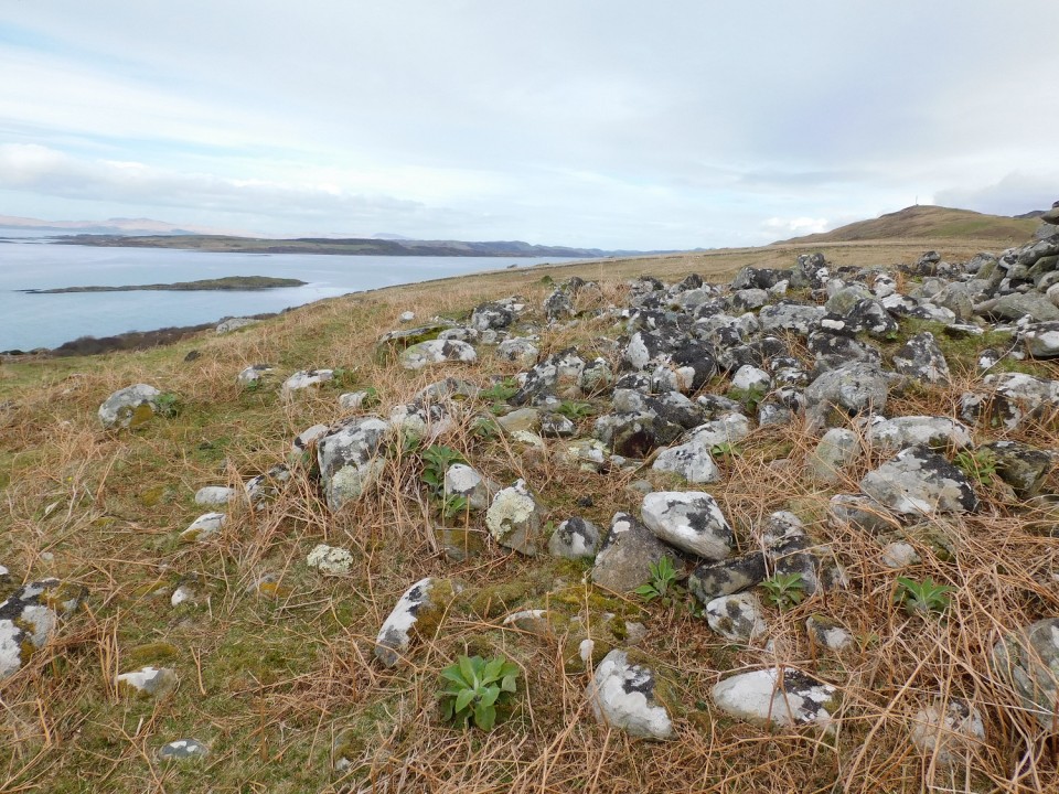
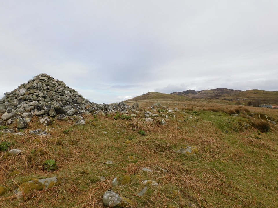
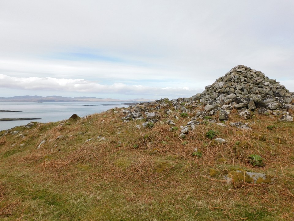
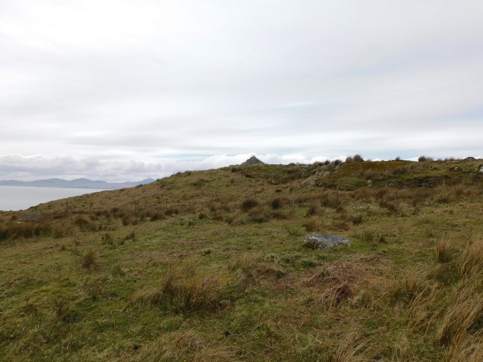
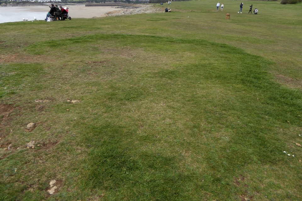
Friar's Point (Cairn(s)) — Images |
|
 Posted by thesweetcheat
14th April 2024ce |
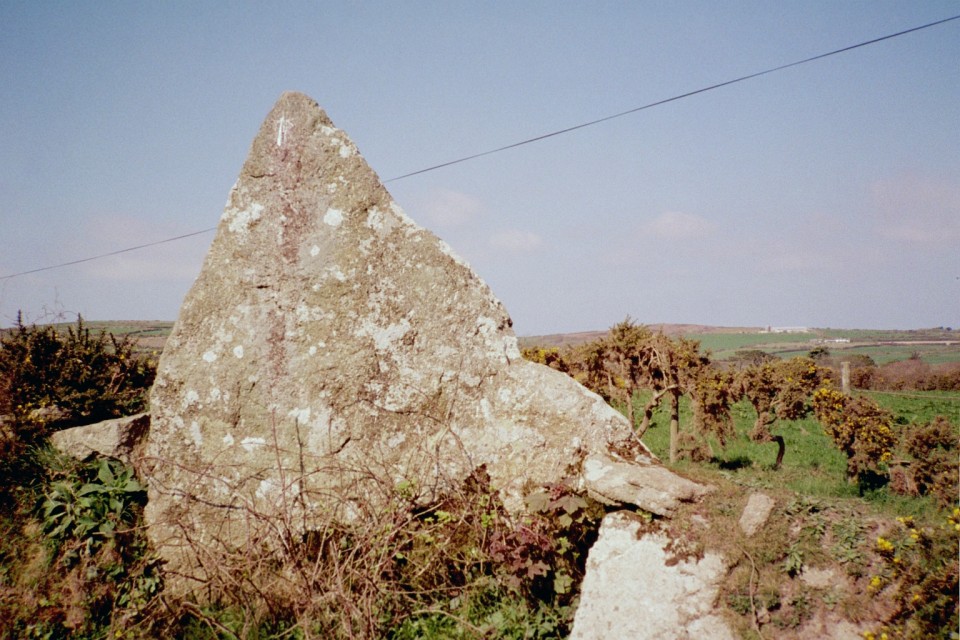
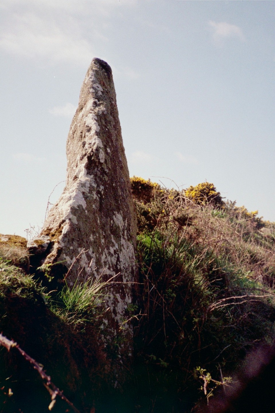
Boscawen-Un hedge (Standing Stone / Menhir) — Images |
|
 Posted by Chris Bond
14th April 2024ce |
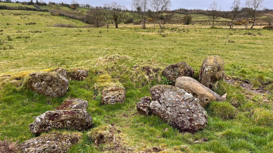
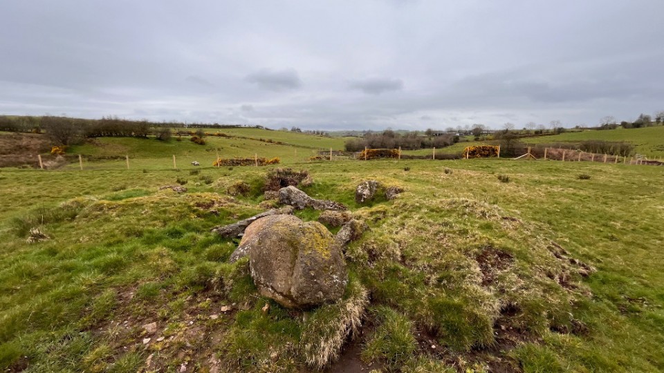
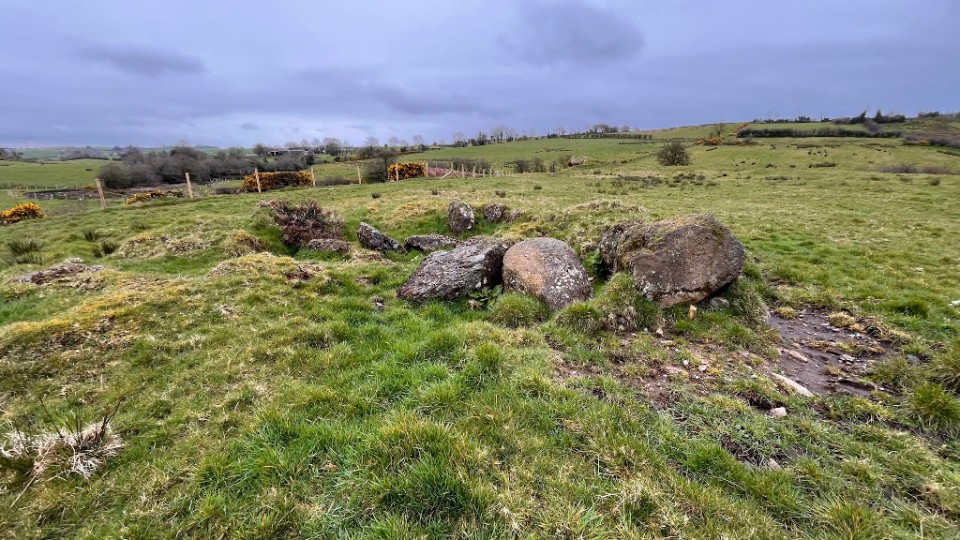
Kilknock (Wedge Tomb) — Images |
|
 Posted by ryaner
10th April 2024ce |
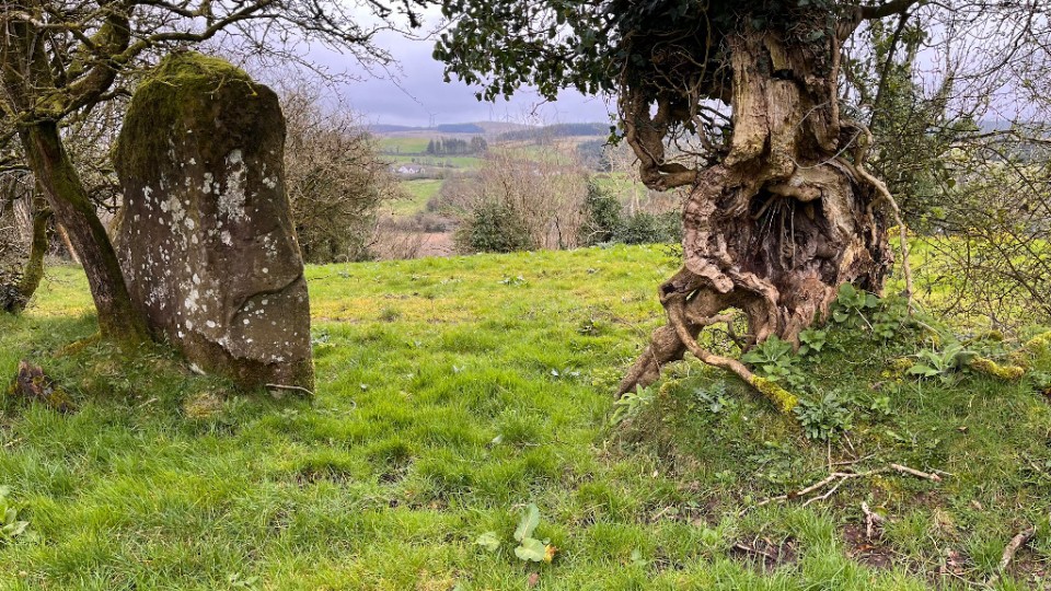
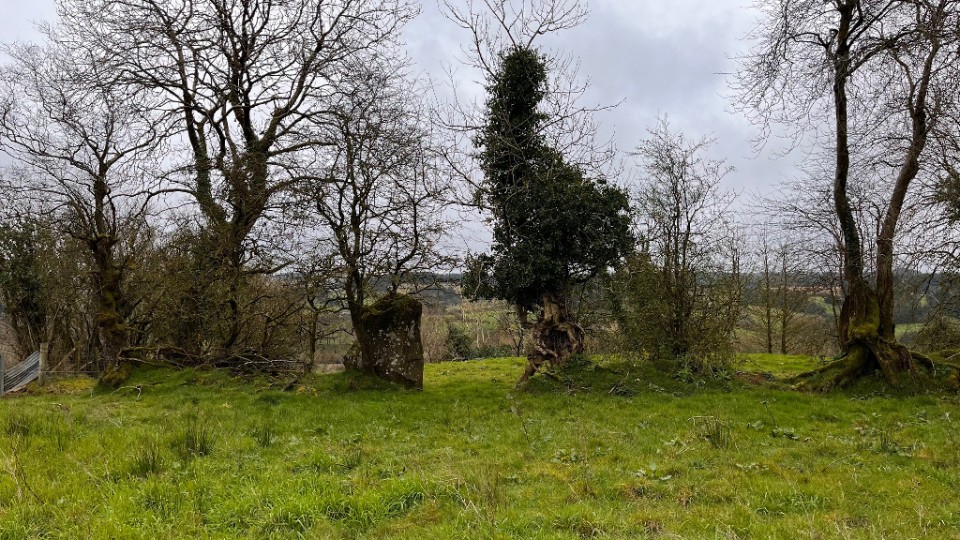
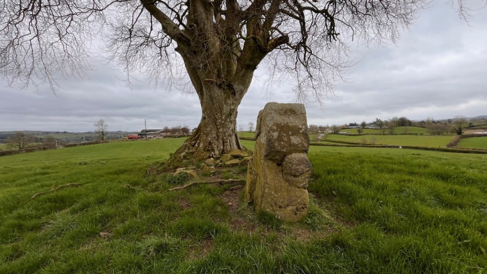
Crocknafarbrague (Standing Stone / Menhir) — Images |
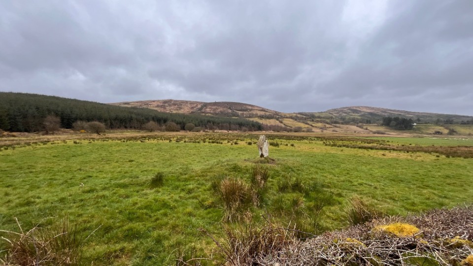 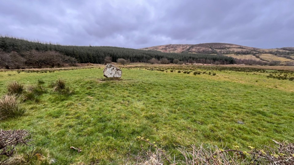
|
Posted by ryaner 9th April 2024ce |
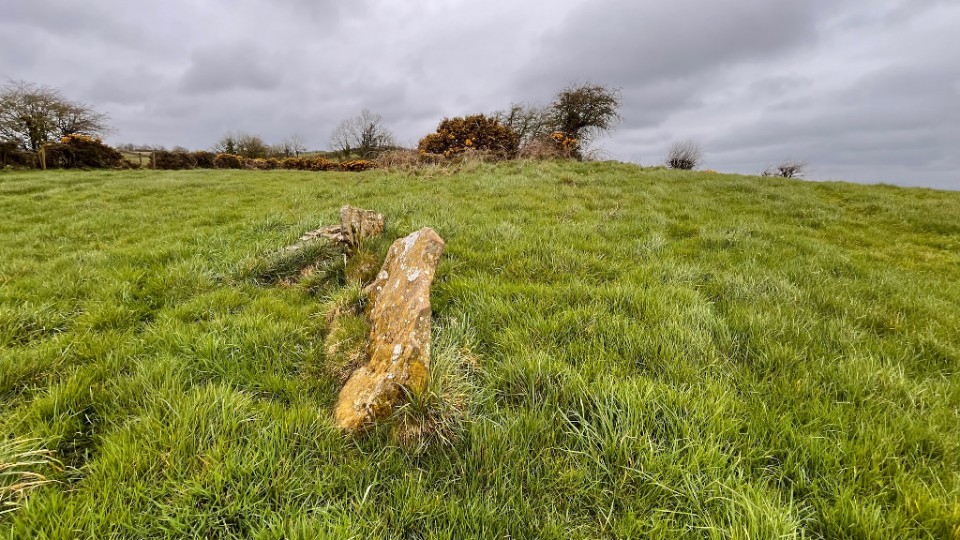
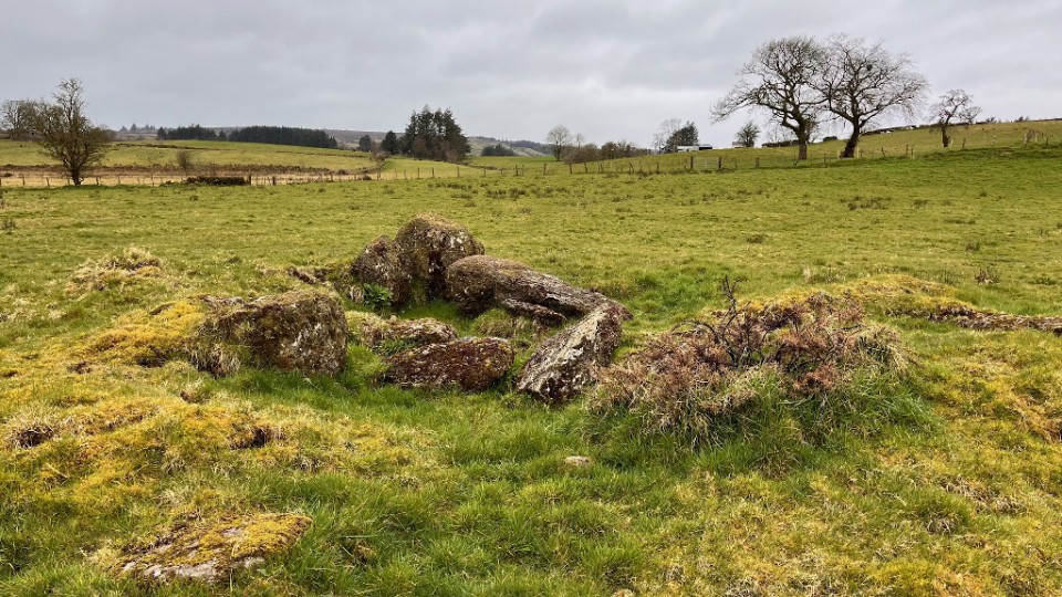
Carryglass (Standing Stone / Menhir) — Images |
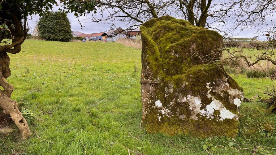 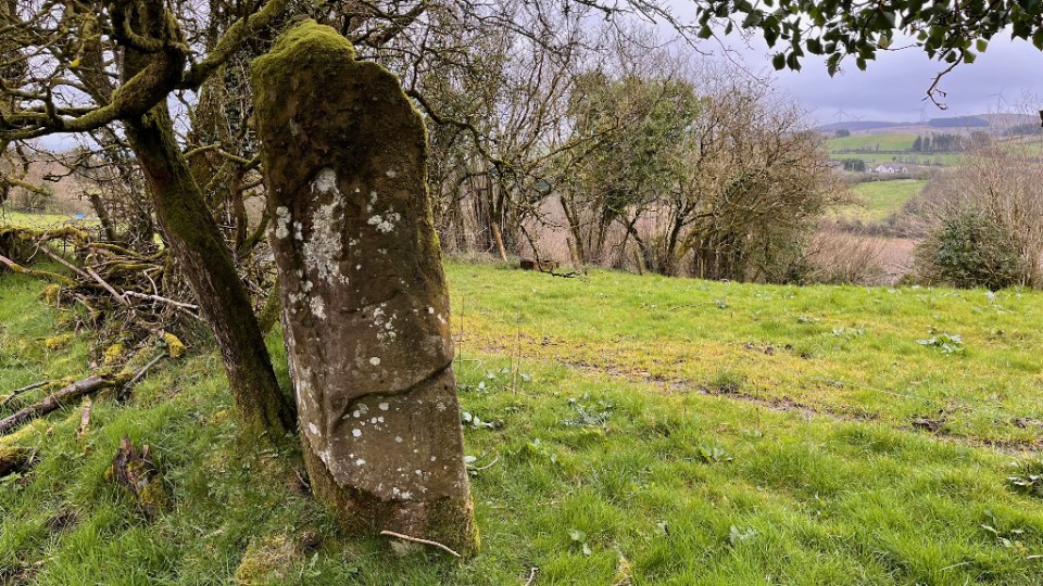  
|
Posted by ryaner 9th April 2024ce |
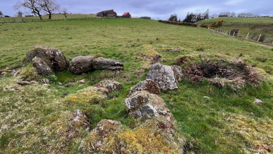
Lisconrea (Wedge Tomb) — Images |
|
Posted by ryaner 9th April 2024ce |
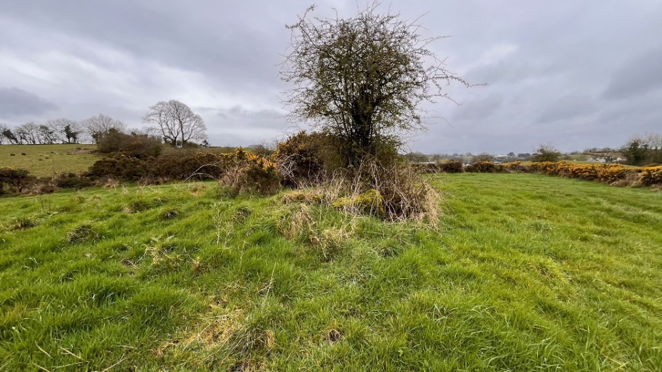
Lislane (Wedge Tomb) — Images |
|
Posted by ryaner 9th April 2024ce |
Screeby (Standing Stone / Menhir) — Images |
|
Posted by ryaner 9th April 2024ce |