The Modern Antiquarian. Stone Circles, Ancient Sites, Neolithic Monuments, Ancient Monuments, Prehistoric Sites, Megalithic MysteriesThe Modern Antiquarian


Castle Rings

Hillfort

<b>Castle Rings</b>Posted by formicaantImage © Mike Rowland 07/09/2007.
Nearest Town:Shaftesbury (4km SW)
OS Ref (GB):   ST888251 / Sheet: 183
Latitude:51° 1' 28.49" N
Longitude:   2° 9' 34.97" W

Added by formicaant


Discussion Topics0 discussions
Start a topic


Show map   (inline Google Map)

Images (click to view fullsize)

Add an image Add an image
<b>Castle Rings</b>Posted by mrcrusty <b>Castle Rings</b>Posted by mrcrusty <b>Castle Rings</b>Posted by formicaant <b>Castle Rings</b>Posted by formicaant <b>Castle Rings</b>Posted by formicaant <b>Castle Rings</b>Posted by formicaant

Fieldnotes

Add fieldnotes Add fieldnotes
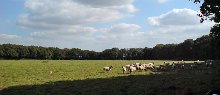
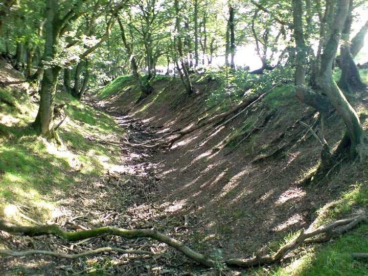
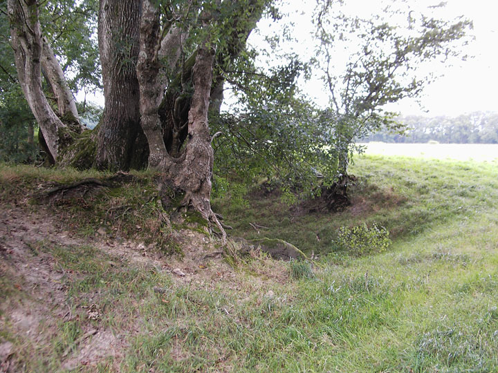
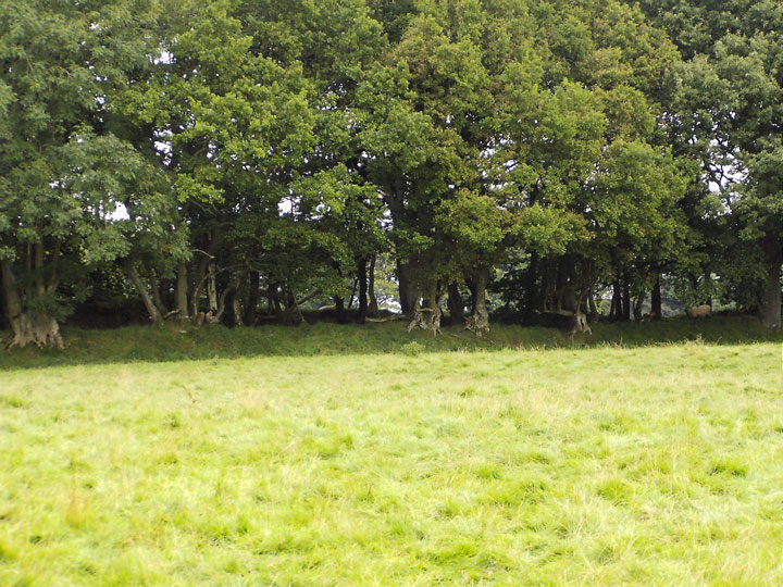
A low lying, mainly univallate hillfort at a fork in the roads from Shaftesbury to the villages of Donhead St Mary and Semley. It appears to be on private property as no footpaths are shown on O.S. maps. At some points it appears to have an outer bank with an inner ditch enclosing a further bank inside. The outer rampart is tree lined and there were sheep within the ramparts. The only way to see it is to pull in to small farm entrances and look through gaps in the hedge. formicaant Posted by formicaant
7th September 2007ce
Edited 12th September 2007ce