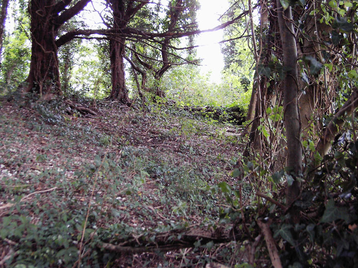
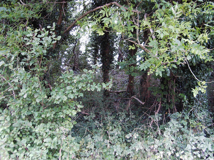
This is a substantial barrow, which is almost hidden in the undergrowth of a small copse, I walked past it twice with a map in my hand. It is on an east to west axis and is about 60 feet long (actually 58 metres as I have since discovered) and 10 - 12 feet high. It's near neighbour at Chettle house is a better bet to visit, you can see it for a start. The survival of this barrow between two heavily ploughed fields must be down to it's large size.
(15) Chettle Long Barrow (93741355), on the boundary with Tarrant Gunville, lies on a gentle E.-facing slope at 375 ft. above sea-level. The mound is orientated S.E.—N.W. and is 190 ft. long, 65 ft. wide and 9 ft. high. An oval hollow, 165 ft. by 48 ft. by 2 ft. deep, in an arable field along the N.E. side of the mound, probably represents a side ditch; a shallower hollow is just visible along the S.W. side. Numerous human bones were found when part of the barrow was removed to make a grotto some time before 1767. (C.T.D., Pt. 3, p. 1; Dorset Procs., XXI (1900), 144.)
A Neolithic long barrow, located on the boundary between Chettle and Tarrant Gunville (the boundary running along the length of the mound), on a gentle east-facing slope. Listed by RCHME as Cettle 15 and by Grinsell as Chettle II. Orientated southeast-northwest, RCHME described it as a mound 190 feet long, 65 fet wide and 9 feet high. An oval hollow 165 feet long, 48 feet wide and 2 feet deep along the northeastern side is presumed to represent a side ditch. A shallower hollow was just visible along the other side. Sometime before 1767, numerous human bones were found when part of the barrow was removed to make a grotto "for the gratification of the eccentric Bubb Doddington, first and only Lord melcombe" (Drew and Piggott 1936). According to Banks' (1900) diary of 1767, "A small part of one end was within the pail that had been opend [sic], and a grotto made in the hollow. We were told that when it was opend a number of Bones were found. I was exceedinly [sic] desirous of opening the other end, which was in a sheep walk without the pails, but upon inquiring whose property it was, had the mortification to be told that it belongd [sic] to an estate now upon sale, the Owner of which was in London; was therefore obligd [sic] to give over all thoughts of it". According to Hutchins (1813), the parish boundary also represented a property boundary, obe half of the barrow belonging to the Marquis of Buckingham. It was one end of his part that "was formerly taken into Lord Melcombe's park [hence the "pails"], and was excavated to make a grotto: many human bones were dug out, but immediately interred again by his lordship's orders."

 Posted by formicaant
 Posted by Chance