Grim's Ditch (Dyke) East and West Hendred SU: 423845 to 542833
Field Notes - 25-08-07
Ordnance Survey Explorer Map 170 - Scale 1:25000
Abingdon,Wantage and the Vale of the White Horse
ISBN 978-0-319-23611-6
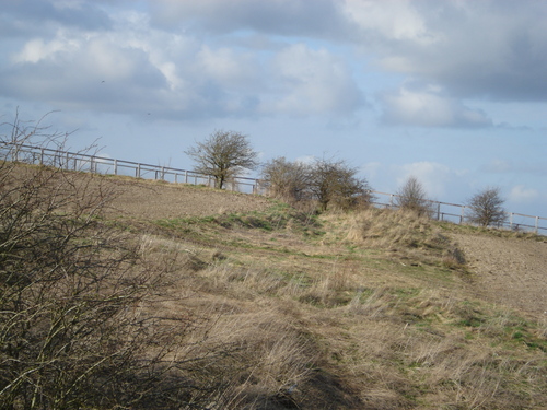
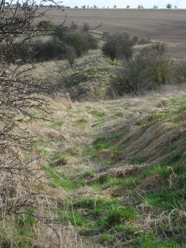
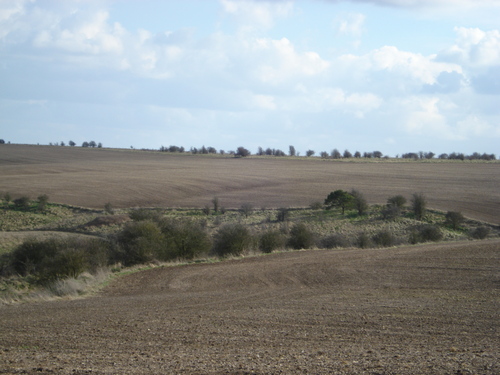
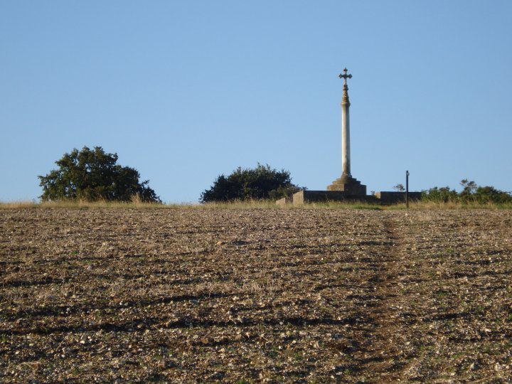
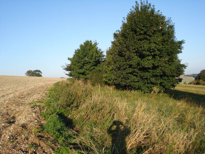
Although this earthwork was probably once more or less continuous, it is now broken into a number of sections, largely as a result of agriculture. Its antiquity is demonstrated by the fact that a number of parish boundaries run along it. Its date is not known, but such earthworks are generally considered to be of the iron age, often defining boundaries rather than defences. The greatest height of the earthwork from the crest of the bank to the ditch bottom is 1.8 m.
The pictures posted here are from the section at the bottom of the Lord Wantage monument at SU 423845.
The Dyke to me back to an older heritage than the Saxon world; it was built by the Celts of the Iron Age in about 300BC, for reasons that, if archaeologists are honest, remain mysterious - to the point that there has been some argument as to whether it was for southerners to keep northerners out, or vice versa. To my lay eyes it seemed probable that it was designed to keep the north out, with the ditch on that side of the embankment; but more crucial for me was the acceptance of a mystery. I was used in Latin America to ancient earthworks whose purpose or meaning remained resolutely obscure, and I liked that. Keats's idea of 'negative capability', that we should be humble in the face of what we do not understand, does not always sit well in the world of archaeology, where forcibly expressed hypotheses and the denigration of rival theories are the norm.
Perhaps because we understand so little about it, you never hear Grim's Dyke mentioned in the same breath as Offa's Dyke on the Welsh border. Yet it was also a substantial achievement and wherever traces of it remain, as they do on the high horse country below Wantage and even around Watford and suburban London, it is a reminder of how insistently north and south were divided in this country, a fatal fault line that ultimately allowed the Normans to conquer the Anglo-Saxon world.
Taken from "The Green Road Into The Trees" by Hugh Thomson

 Posted by Chance
 Posted by tjj