Marked as a Ringfort (unclassified) on archaeology.ie, this is the nearest monument to my house. I've been pondering heading up there for a while now and finally went this morning.
The 2nd left turn after Bohernabreena catholic church leaves you on a road above the field with the 'ringfort'. Down through two small fields and through the tangle of briars and gorse (I wouldn't attempt this outside of the winter months), the archaeology.ie placement is fairly accurate.
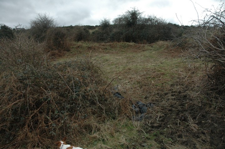
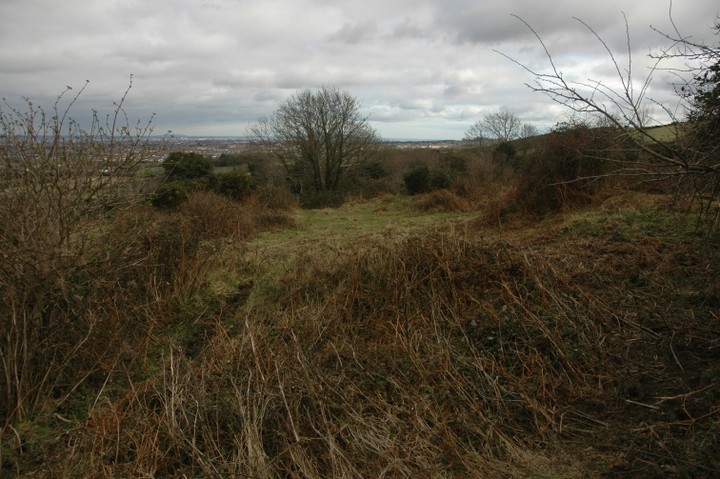
In his book Glenasmole Roads, Patrick Healy has this to say: "Four hundred yards to the east of Bohernabreena House is a fine ring fort in a field of furze with a spring of water beside it. It is 30 yards in diameter and surrounded by a bank. The area inside is levelled and bears evidence of having been tilled at some distant period." The photo used in the book is nondescript and shows the top of field, not the 'ringfort' as captioned.
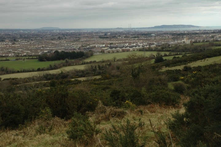
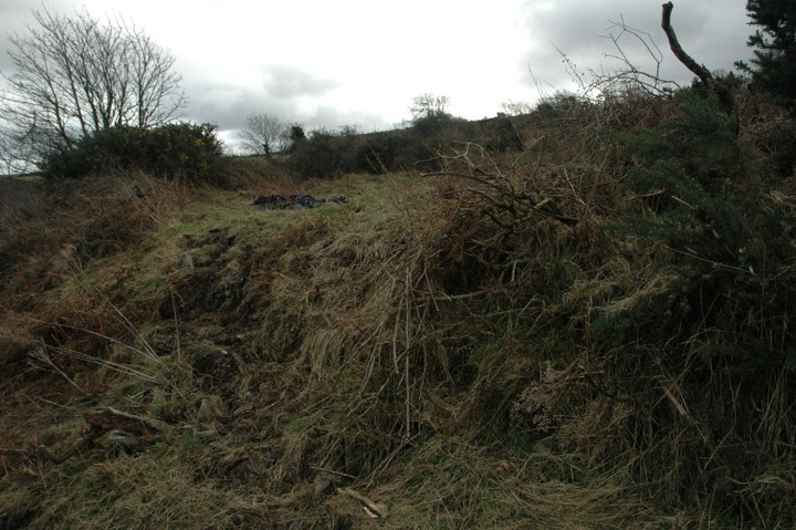
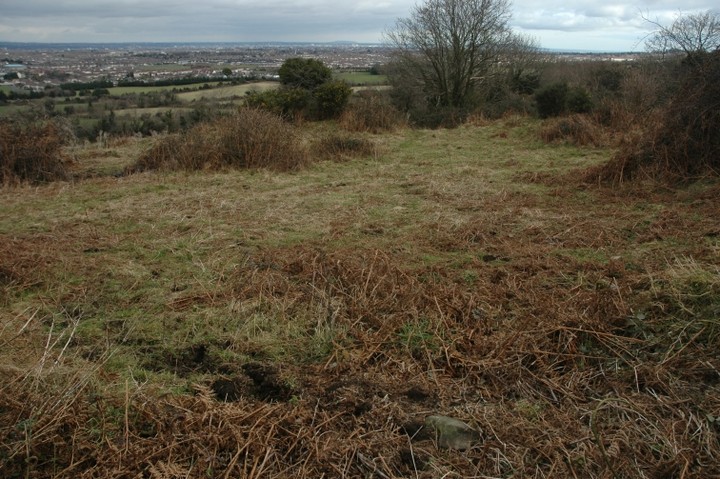
So what is this? I would describe it as an embanked enclosure of the mini-henge type. The banks rise to about a metre from the north-east back around to the north-west. The northern part of the circle is open and falls away to a depth of about 2 metres, where lies the aforesaid 'spring'. The most striking thing about the site is the view across the city towards Howth and Lambay. Was it a ceremonial enclosure, a place to view some solar or lunar event?
The interior of the circle is flattened but slopes from south to north and there's another gap/opening in the bank on the eastern edge where the views towards Howth would have been best.
Was it a habitation site, a so-called ringfort? Maybe, maybe not.

 Posted by ryaner