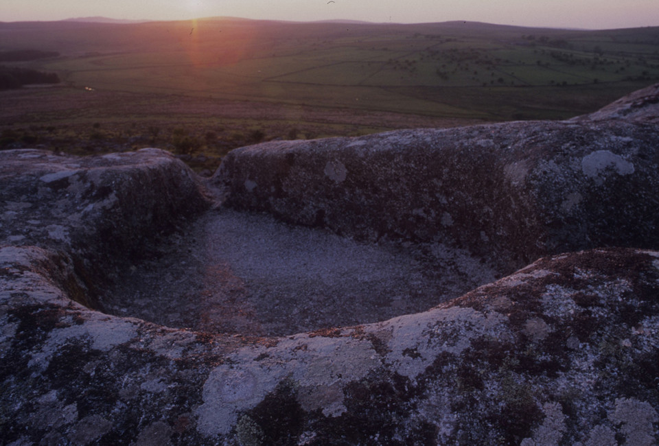
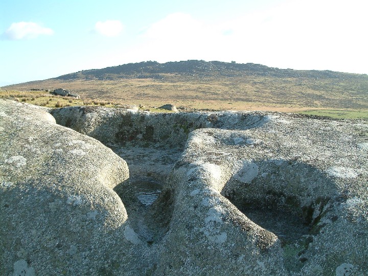
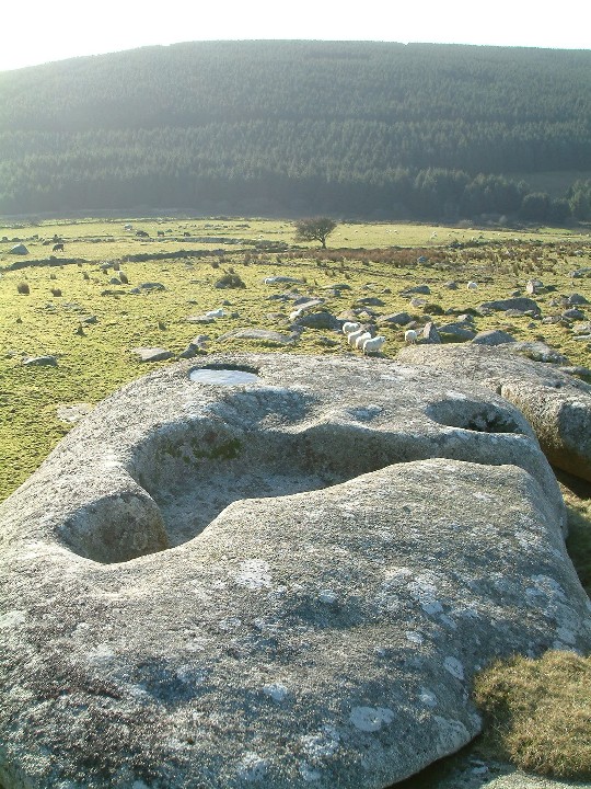
This feature is cool, you can actually lie inside it like a granite coffin.
I visited this site a few years back. I was maning a check point for an orienteering event.
Spent about 3 hours here. Even had a snooze in it!
Dr William Borlase, writing in 1754 , said:"Round Arthur's Bed, on a rocky Tor in the parish of North-hill, there are many [rock-basins], which the country people call Arthur's Troughs, in which he us'd to feed his Dogs."
From N: The B3254 heads S off the A30 at Launceton. Take the first left for B3254 St Petherwin at the first roundabout. Stay on the B3254 for c. 7 miles. Cross the Lynher river into Berriow Bridge. There is an unsigned dead-end lane turning R at the end of the narrow bridge . Follow this track uphill for c. 1.25 miles to reach a Car Park at a cattle grid at the end of the public road.
From S: From A38 take the A390 Liskeard exit. Follow All Routes B3254 into Liskeard. The B3254 becomes Pound St. Take the second exit R for All other routes at the roundabout, avoiding the Town Centre. Take the first L for B3254 Pensilva/St Cleer at the double roundabout. Follow the B3254 for c. 8 miles to reach Berriow Bridge. At the N end of Berriow Bridge there is an unsigned dead-end lane turning L just before the narrow bridge over the Lynher River. Follow this track uphill for c. 1.25 miles to reach a Car Park at a cattle grid at the end of the public road.
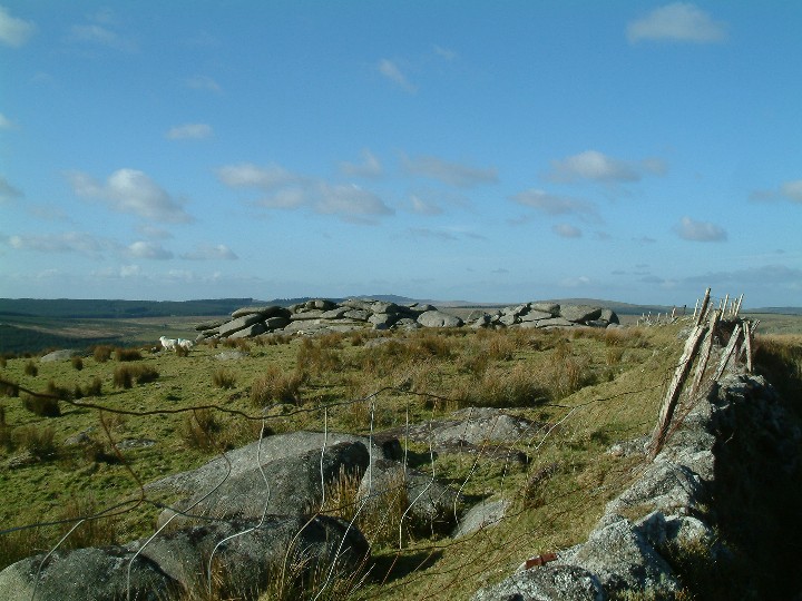
Twelve Men’s Moor starts here. There are many sites to be explored from here: They include Cairns, a Cist, the Pyramid Stone and a Settlement on Twelve Men’s Moor, an unusual Stone Row on Hawk’s Tor Summit and Arthur’s Bed on Trewortha Tor, all in a square kilometre.
King Arthur's Bed is on private land and access is subject to certain restrictions, which from the end of August 2005 can viewed on http://www.countrysideaccess.gov.uk or in person at Trewortha Farm."
Please make sure you adhere to these restrictions when in force.

 Posted by Rhiannon