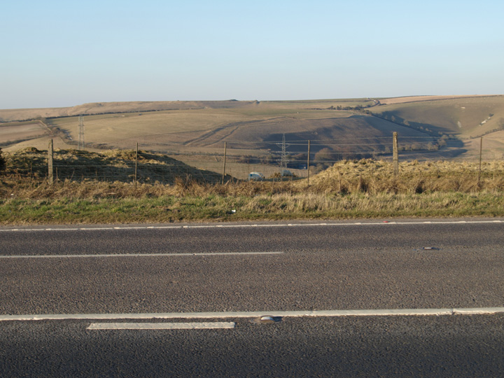
This is one of several dykes which run across the ridge of hills which the A35 now follows. This one is a few hundred yards east of Chilcombe Hill and from it can be seen Eggardon Hill to the north. Probably by coincidence it is directly in line with a modern milestone.
There are quite a few of these ditch and bank structures in Dorset and they are thought to be late bronze age to iron age in date. The purpose of them is unclear but is thought to be as some kind of division of land.
A dyke which cuts across the ridge, and consists of a bank with a ditch on the E. side. There are various other scarps and banks of minor importance. (1) A bank and ditch cross-dyke 160.0m long, broken by a modern main road. The bank averages 8.5m wide and 1.0m. high, and the ditch on the E. side 4.5m. wide and 0.7m deep; S of the road the ditch is 8.0m wide. On the N. side of the road the bank has been mutilated by various small diggings of apparently modern, date. The earthwork is analagous to the IA cross ridge dykes common in DORSET, and is set within an IA/RB field system. It is clearly visible on AP CPE/UK/2431/3154 [Extending from SY 53649199 to SY 53709211] (2)

 Posted by formicaant
 Posted by Chance