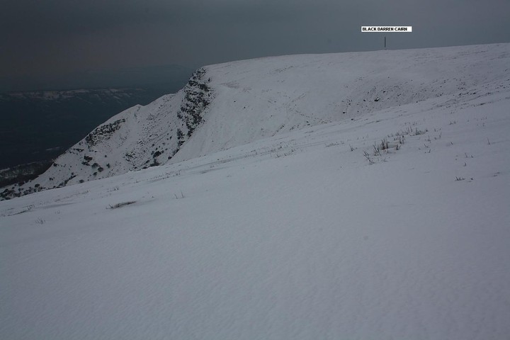
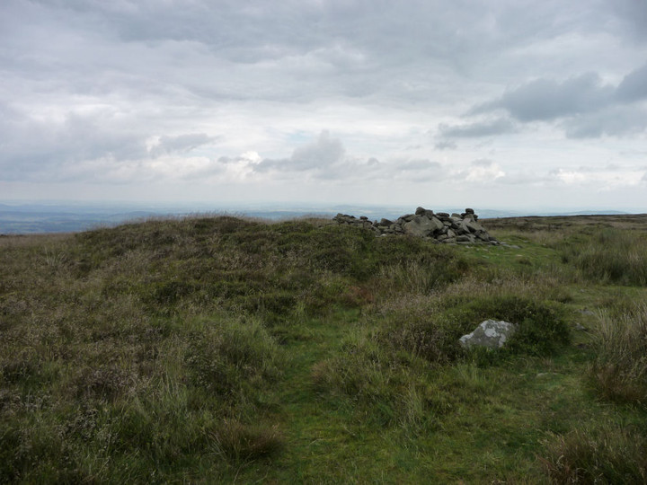
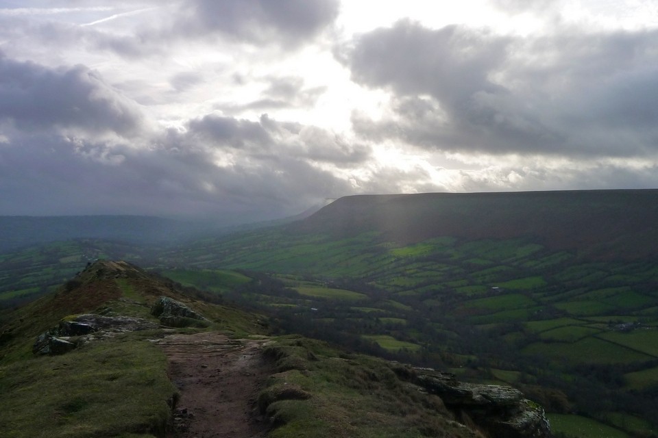
Although sited only about a third of a mile to the approx north-east of the Loxidge Tump cairn, fractionally 'England-side' of the border, I approach the Black Darren monument from the north-west this April Fool's Day 2013, this the result of having abandoned an attempt to re-visit the summit of Red Daren due to lack of time, my crampon-less boots having succumbed to the arctic conditions prevalent underfoot like they were supporting a prize muppet not used to such wintry weather. Well, if the balaclava - and sundry other items of headgear - fit... To be honest I would actually recommend approaching from this direction above others, the climb up from the Little Daren Farm picnic area [SO296299] to the north-west of Longtown much quieter and vibey than the Llanthony Priory route in normal circumstances. Equally sublime views, too. [Incidentally castle-heads might be interested to know that Longtown (it's true, it really is a long town) possesses a nice South Walian Norman round keep ... despite being in Herefordshire].
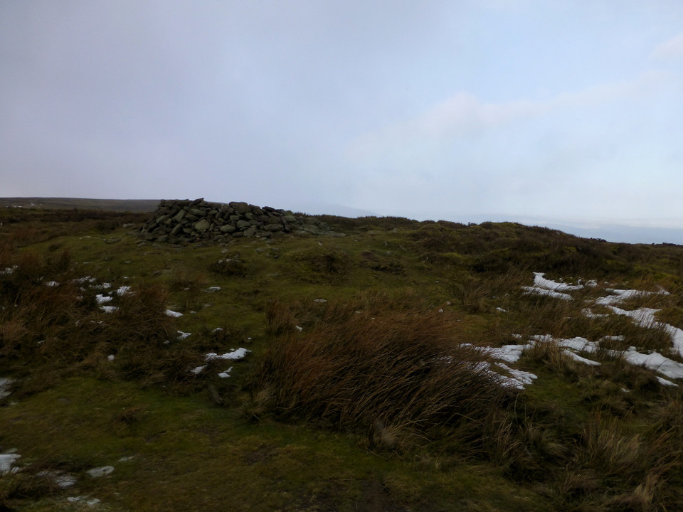
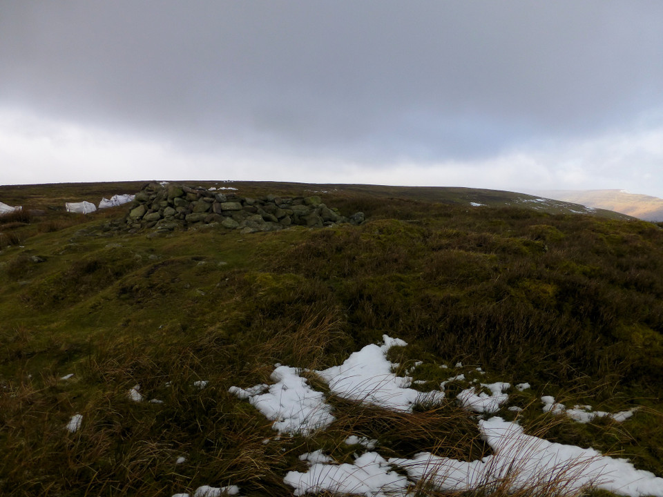
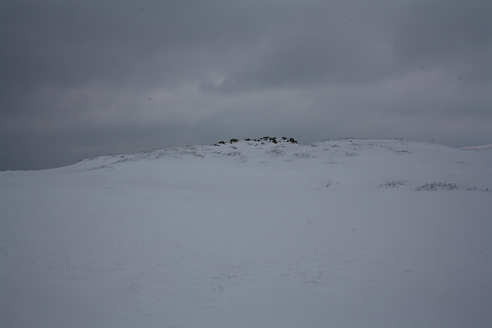
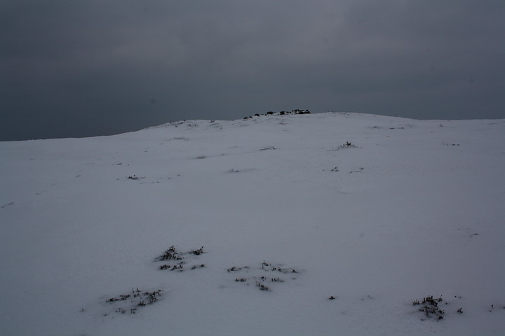
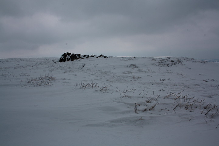
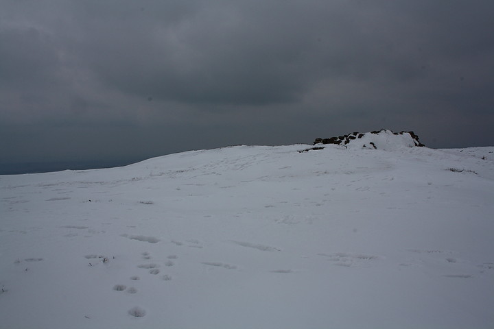
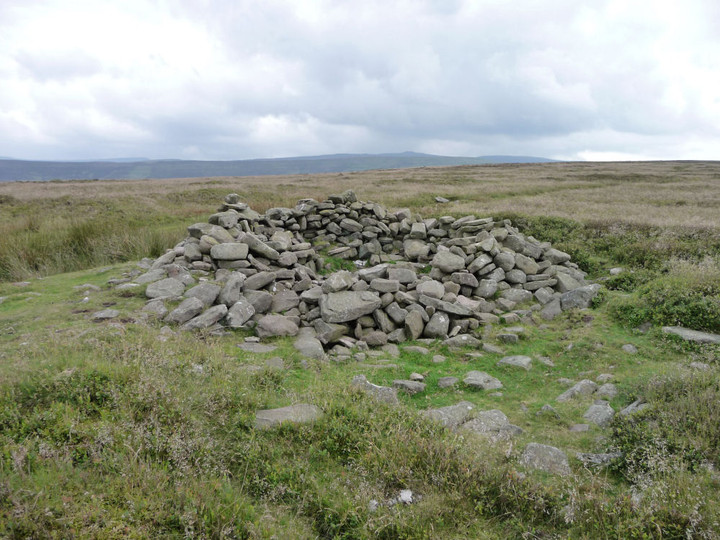
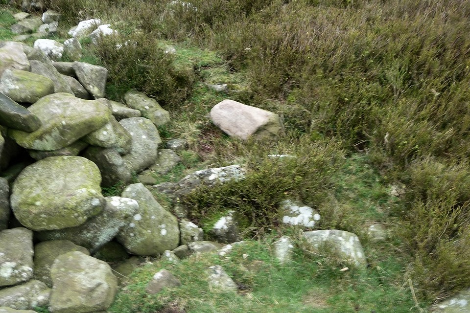
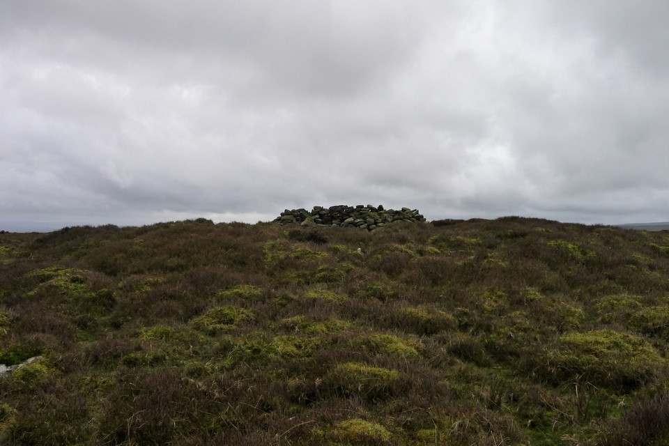
My approach, needless to say, proves somewhat problematic, not to mention extremely tiring, owing to the inclement conditions having rendered the escarpment edge with a glistening, angled carapace of ice frustratingly not quite able to bear my weight. Yeah, it is certainly no easy skate. Cue a number of undignified stumbles, alternating with passable - well, I thought so.... the allegorical Russian judge perhaps knew better - impersonations of the waterfowl attempting to land upon my local lake when frozen. Luckily there is no-one else around to see my enforced gymnastics, although no doubt any embarrassed blushing was frozen at source. Which, considering that the Black Darren cairn is located just north of the ugly scar that is the Offa's Dyke long distance path, is an utterly wondrous, in my experience unparalleled state of affairs. The final slither is duly executed... and there it is. The cairn, but one of a linear series of such monuments placed upon this ridge, is not shown on my 1993 issue 1:25K OS map and should not be confused with a 'Pile of Stones' a little to the south-east.
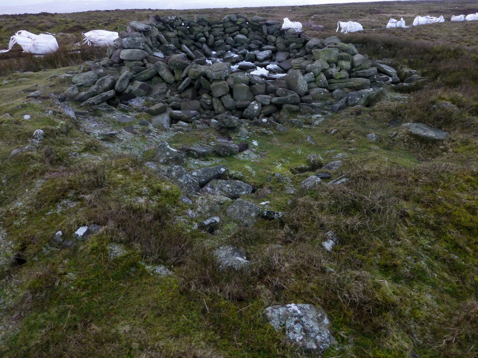
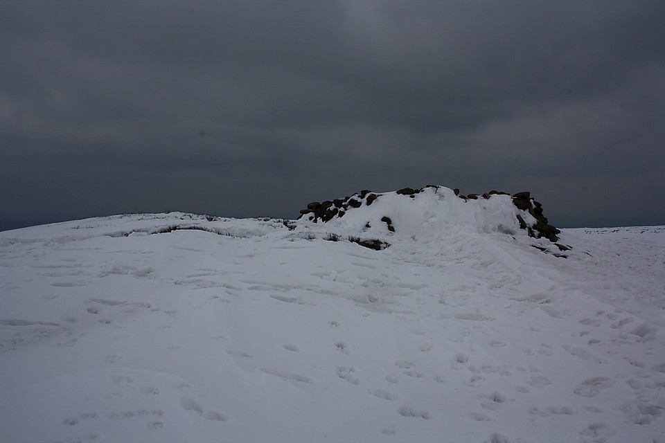
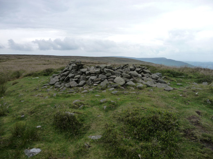
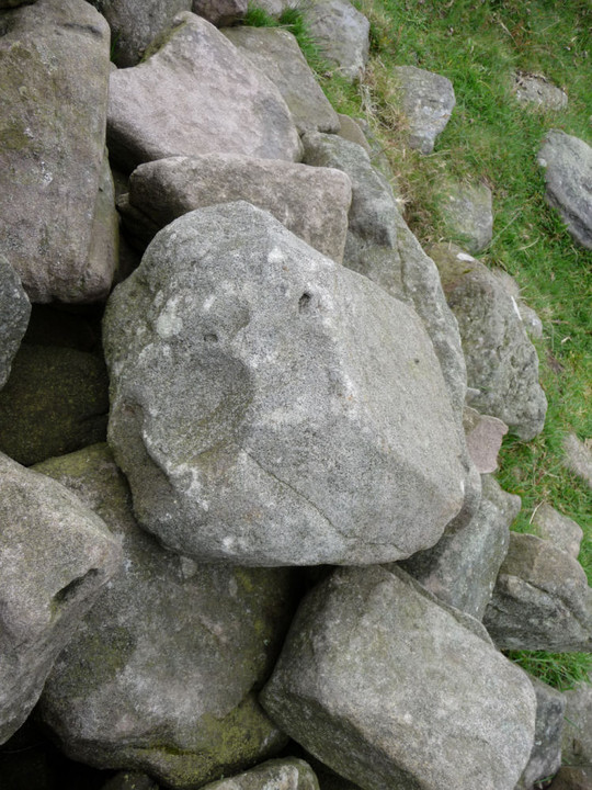
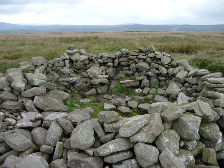
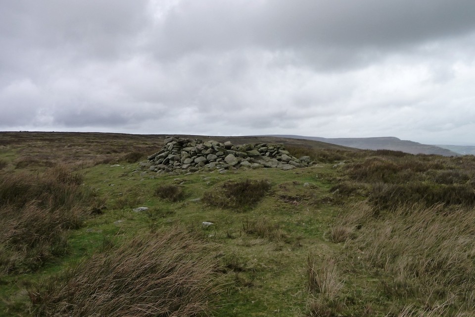
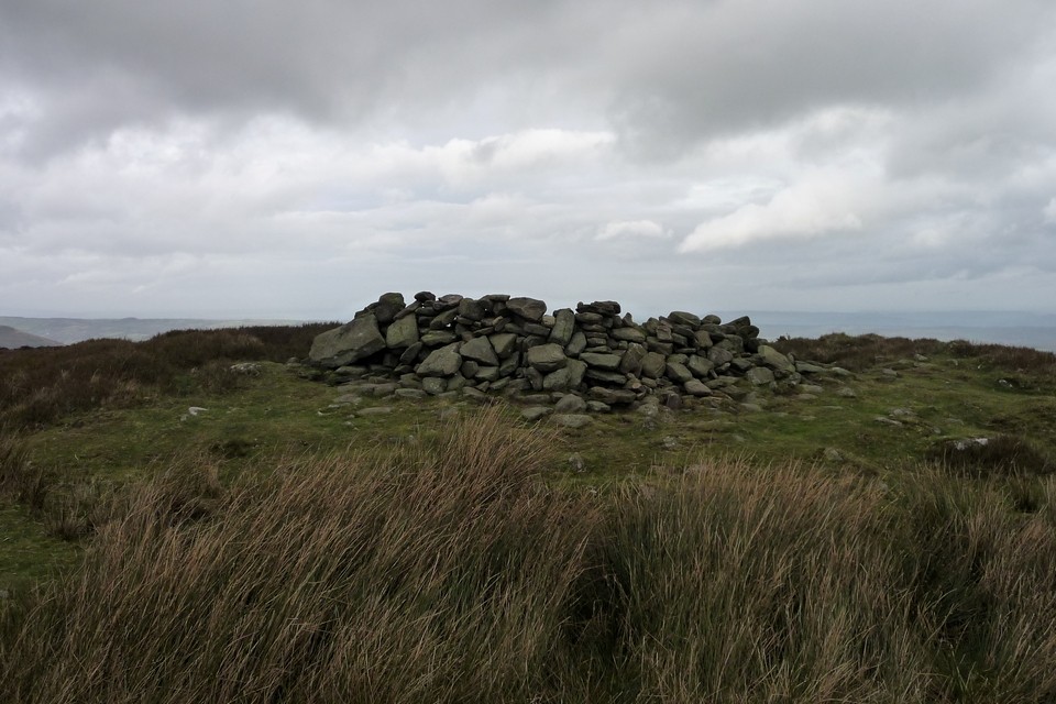
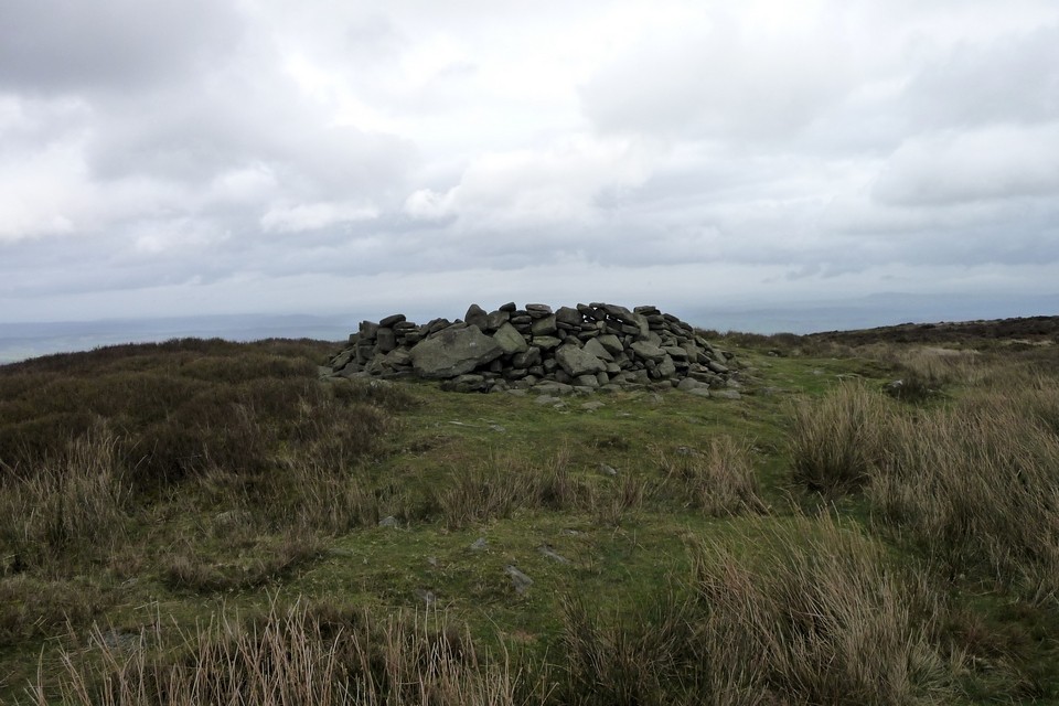
The most obvious feature is a large 'storm shelter' erected on top of the monument, in retrospect what the Mam C and I clocked prior to being summarily chased from the mountain by a violent electrical storm a few years back. Coflein actually mentions 'two parasitic sheep shelters', so my guess is these have subsequently been 'knocked through' to make just the one. This traveller wonders whether this particular incidence of DIY was undertaken by the sheep themselves? If so let us hope that someone was on hand, camera at the ready, in order to capture the moment for prosperity. I wait for the upload to YouTube with breath bated in anticipation. Coflein also mentions the remains of a cist still in situ, although again I'm afraid I can't confirm that, not with the interior packed out with snow. Let's just say there didn't seem to be one as I raked about with gloved hands. What can be affirmed without any ambiguity, however, is the sheer extent of the underlying footprint, a feature actually accentuated by the mantle of snow. Suffice to say that this is clearly a substantial monument indeed.
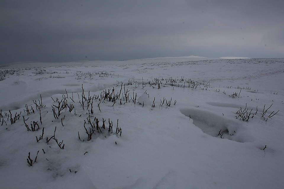
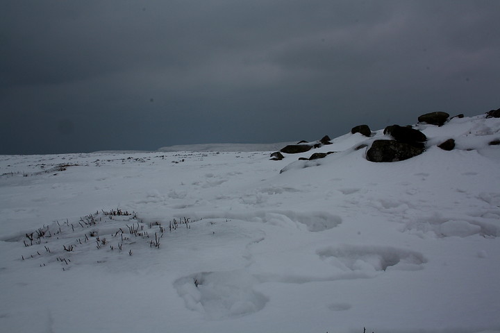
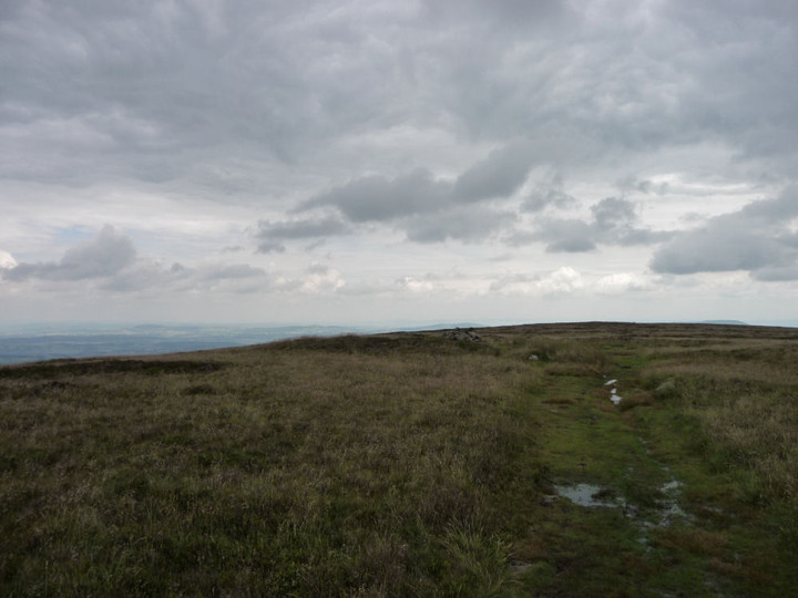
It also proves to be a wonderfully haunting, evocative location today, the whereabouts of the aforementioned Offa's Dyke 'motorway' betrayed by nothing more than a few footsteps in the snow. Yeah, all is silent. In fact I never thought it could be so silent up here. Granted, the scene is not that of a shining Alpine wonderland, as experienced upon Pen-y-Gadair-Fawr the day before, but rather a bleak 'midwinter' landscape of the kind Wenceslas was said to have gone a' wandering about in. Albeit not in Wales.... Herefordshire even. Actually both, it gets so confusing up here on the border. Whatever, the snow is most certainly 'deep, crisp and even', according the landscape a hostile, brutal, almost surreal majesty that is a privilege to share with whatever creatures lie dormant beneath waiting for the thaw. In the absence of any other humans, that is.
"A robbed and disturbed cairn, 16.5m in diameter and 1.0m high, with a cist exposed and two parasitic sheep shelters. (source Os495card; SO22NE9) J.Wiles 03.09.02"


 Posted by GLADMAN