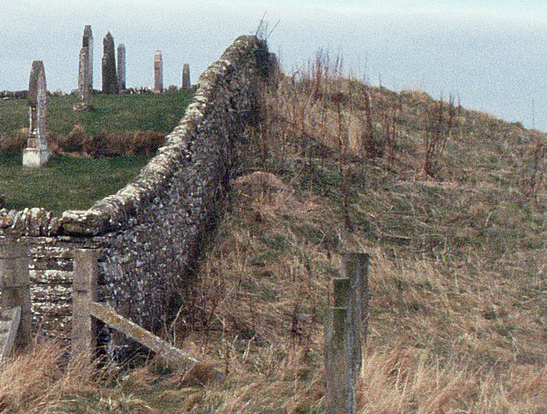
The church is within a ‘dip’ and there was a short stretch of walling to be seen (4 course high) but I do not know if this is anything to do with the broch or more recent stonework?
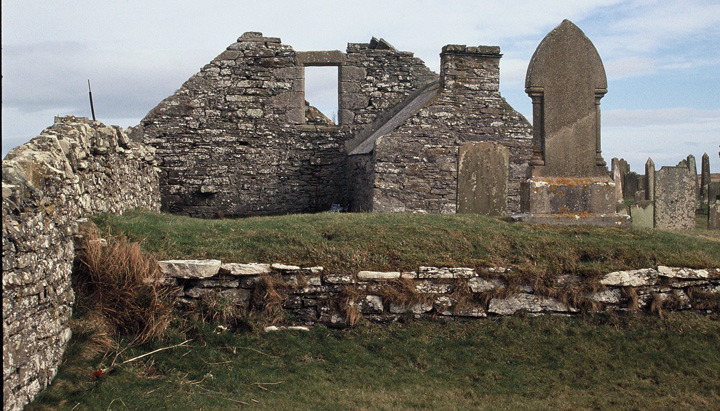
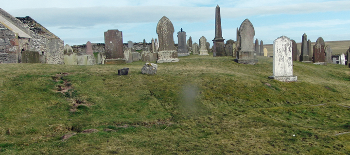
The church itself is an overgrown ruin although the graveyard is well maintained.
Built onto the side of the church is a derelict shed with an asbestos roof which I kept well away from!
There are really good coast views from the church and a lovely looking beach to the north.
The Fossil Museum is not far away and worth a visit. They have a very good café.
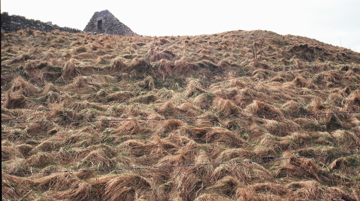
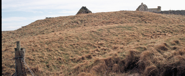
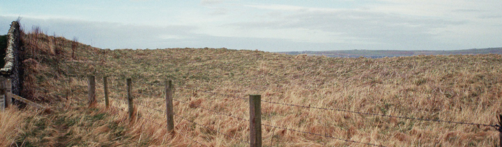
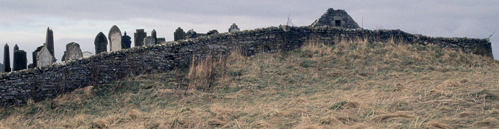
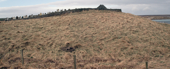
Coming from South Ronaldsay after the 4th Churchill Barrier where the A961 turns sharp left to Burray village instead take a right turn onto the Ness road, signposted for the cemetery. Upon reaching Leith the cemetery road goes down directly by Leith's east side. I had thought to look for any remains that might have survived from the earlier church, but as I passed along to the shore it became obvious that before the Viking estate a broch had stood here. No reference exists to one here, but my fellow Brochaholic Dave said he always thought there should be many more in these South Isles than hitherto suspected. Perhaps this is because despite the monumentality of the mound/s there is a distinct lack of stonework (hopefully because still covered over), though when you think many stones must have been removed before kirk was built the landowners have kept it rather well preserved. It has elements reminding me of three other chapel brochs; the old Holm parish church and Warebeth in Stromness and Overbrough in Harray. The roofless church sits on top of the broch tower mound and the majority of the outer settlement looks to be between it and the nearby burn [to my eyes that is]. For the most part the broch surrounds the kirkyard on the north and west over to the path to the shore. The 17thC church appears to be towards the edge of the tower, either because the old kirkyard has gone or because an early chapel was attached to a Norse hall. It sits in ground above the rest of the kirkyard as there is a two foot deep rectangular cut through the mound. The old wall at the east end looks deeper and a little different in character also.
And the church is worth a visit for itself !
David Lynn has now been here. On the one hand the broch expert has dropped it down a level from "probable" owing to insufficiency ofsurviving circularity. On the other hand I somehow missed a lot of associated large stones and blocks, so Dave agrees there is definitely something very big under the mound on which the church sits.
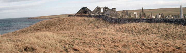
The NMRS record for the site describes the present roofless kirk, which was built in 1621 at about the same time as the nearby Bow of Burray was rebuilt. St. Lawrence was patron saint of both Burray and South Ronaldsay, ecclesiastically the two were governed from Burray. According to the chairman of the Bu Sands planning commitee the original church was on the site of a Viking estate. The South Isles coastal survey had to miss out this area, though the principal broch profiles are readily observable without entering the field behind the kirk - my friend David Lynn, a broch expert, having seen some of my images agrees with my assessment (full confirmation pending some future visit alongside known suspects Kyelittle and Hillock of Fea).