The Modern Antiquarian. Stone Circles, Ancient Sites, Neolithic Monuments, Ancient Monuments, Prehistoric Sites, Megalithic MysteriesThe Modern Antiquarian


Crosswood

Enclosure

<b>Crosswood</b>Posted by thesweetcheatImage © A. Brookes (16.7.2011)
Also known as:
  • Rhos enclosure

Nearest Town:Welshpool (11km SSW)
OS Ref (GB):   SJ27851750 / Sheet: 126
Latitude:52° 44' 59.58" N
Longitude:   3° 4' 8.57" W

Added by thesweetcheat


Discussion Topics0 discussions
Start a topic


Show map   (inline Google Map)

Images (click to view fullsize)

Add an image Add an image
<b>Crosswood</b>Posted by thesweetcheat <b>Crosswood</b>Posted by thesweetcheat <b>Crosswood</b>Posted by thesweetcheat <b>Crosswood</b>Posted by thesweetcheat

Fieldnotes

Add fieldnotes Add fieldnotes
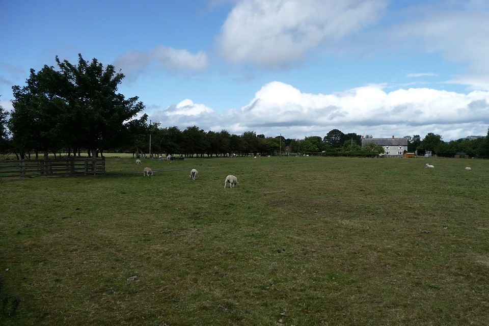
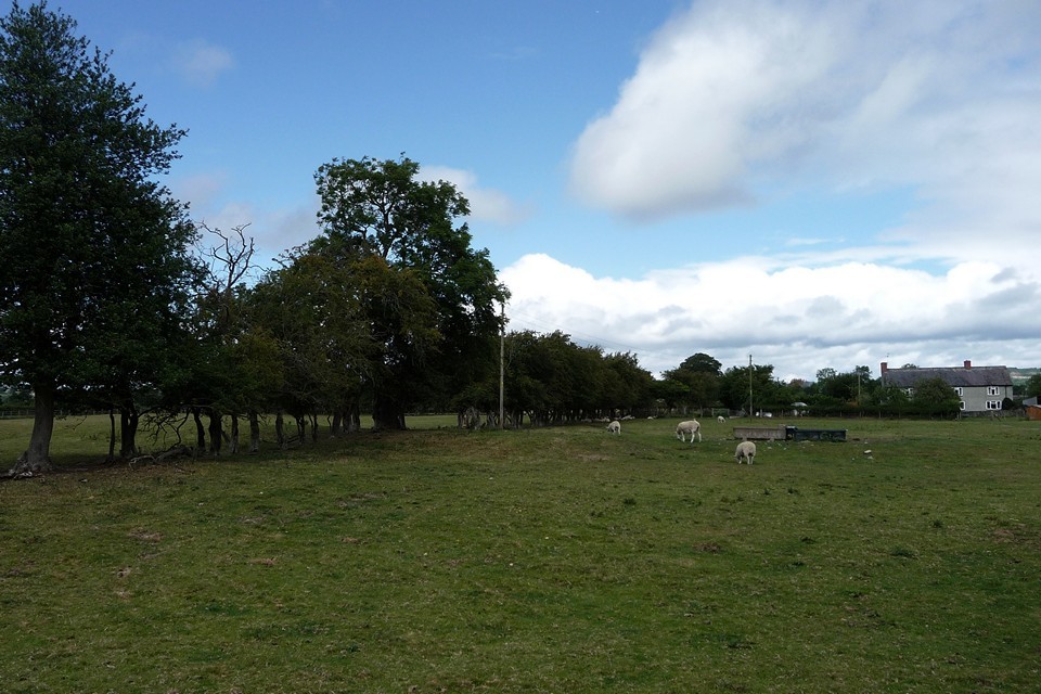
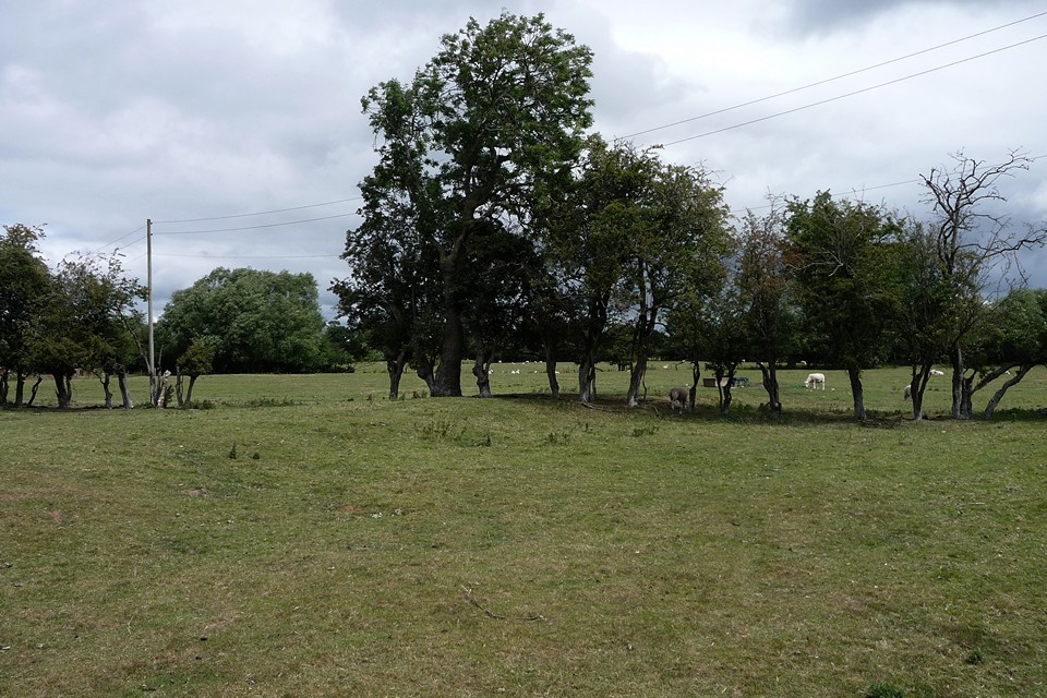
Crosswood enclosure could be seen as part of the complex of sites around Four Crosses and Llandysilio. It’s a circular enclosure with an internal ditch, bisected by the road from Rhos to Llandrinio. The road crosses the site about a third of the way from the northern part of the arc, so it’s not an obvious re-use of any original entrances. Sadly the earthwork has been much reduced by ploughing, rather similarly to the nearby line of Offa’s Dyke. It’s best preserved at the northwest, where both the bank and the internal ditch can be made out clearly, albeit not the easiest thing to photograph. Running east the bank gets even further reduced, to the point of near-disappearance.

On the south of the road we couldn't see anything at all, but this did involve trying to peer through a pretty thick hedge!

Not the most impressive place to visit, but as pretty much the only visible remains of the numerous sites on this flat plan, it’s worth a quick hello.
thesweetcheat Posted by thesweetcheat
7th June 2015ce
Edited 7th June 2015ce

Miscellaneous

Add miscellaneous Add miscellaneous
This much-reduced circular feature has been considered as a possible henge. Certainly the ditch is internal to the bank. Coflein description:

A sub-oval enclosure, 132m N-S by 116m, defined originally by a bank and ditch, bisected by an E-W modern road and best preserved to the N.

CPAT website mentions eight possible henges in Montgomeryshire. This one is referred to as being at Four Crosses:

http://www.cpat.org.uk/projects/longer/pfr/pfrmont/pfrmon.htm
thesweetcheat Posted by thesweetcheat
29th July 2011ce