|
|

|
|
The RossettRound Barrow(s)
|
||||||||||||||||||||||||
|
|
|
Images (click to view fullsize) |
|
|
Fieldnotes |
|
|
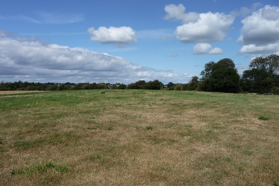
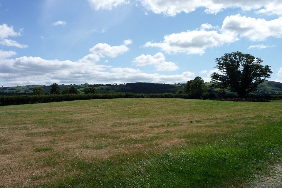
Visited 31.5.14 Directions: Near the road on the northern side of Brompton Hall at the A489 / B4385 junction. It is to the right of the B4385 when driving north. There is a handy field gate from which you can see the barrow. It is a low grass mound next to a field hedge. It is approximately 0.5m high x 15m across. Not worth going out of your way for. *** Thanks to TSC for putting me right! *** |
Posted by CARL 3rd June 2014ce Edited 5th June 2014ce |
Miscellaneous |
|
|
Pastscape description of this large barrow, surrounded by multiple ditches, with a Roman camp built around it: The interiors of the Brompton Roman Camps (SO 29 SW 7 and SO 29 SW25) slope very gently to the E. A noteworthy feature in the NW quadrant of camp 1 is the large barrow, known locally as The Rossett. Its mound, contained within three concentric ditches, is now subcircular and has apparently been disturbed in its S half; it is gradually being levelled by ploughing, but still survives to a height of 1.2 m. If, as is likely, the barrow predates the camp, its presence will have interfered with the standard arrangements of the internal layout of the camp. The outer ditches of the barrow are visible as cropmarks on aerial photographs, while the central mound is discernible as an earthwork. The barrow has been mapped by RCHME's Marches Uplands Mapping Project. |
 Posted by thesweetcheat
3rd August 2011ce Edited 3rd August 2011ce |