Directions to Killantringan Bay Dun: Take the B738 Leswalt right turn off the A77 c. 0.1 miles before Portpatrick. Stay on the road for c. 2.5 miles to reach Knock Farm ruin. Take the 2nd left turn as the 1st left turn is rutted. There is room to park up. The farm track is too rough to drive down. Follow my route on Killantringan Bay Dun N (go to Links).
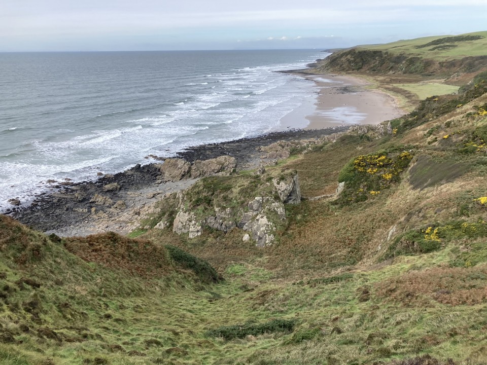
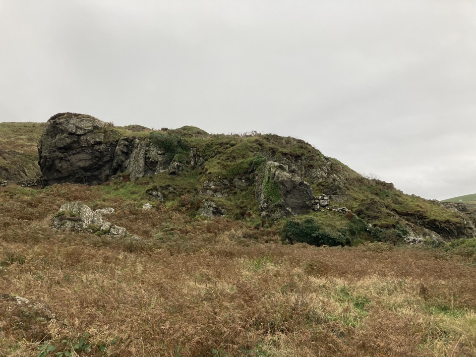
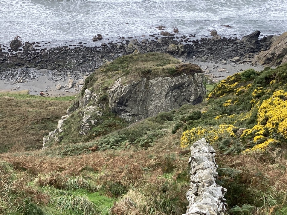
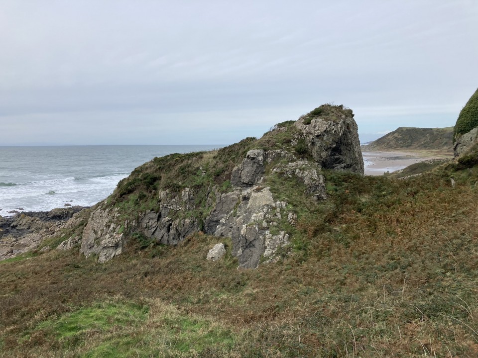
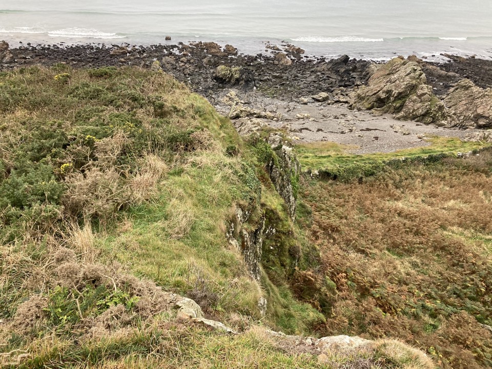
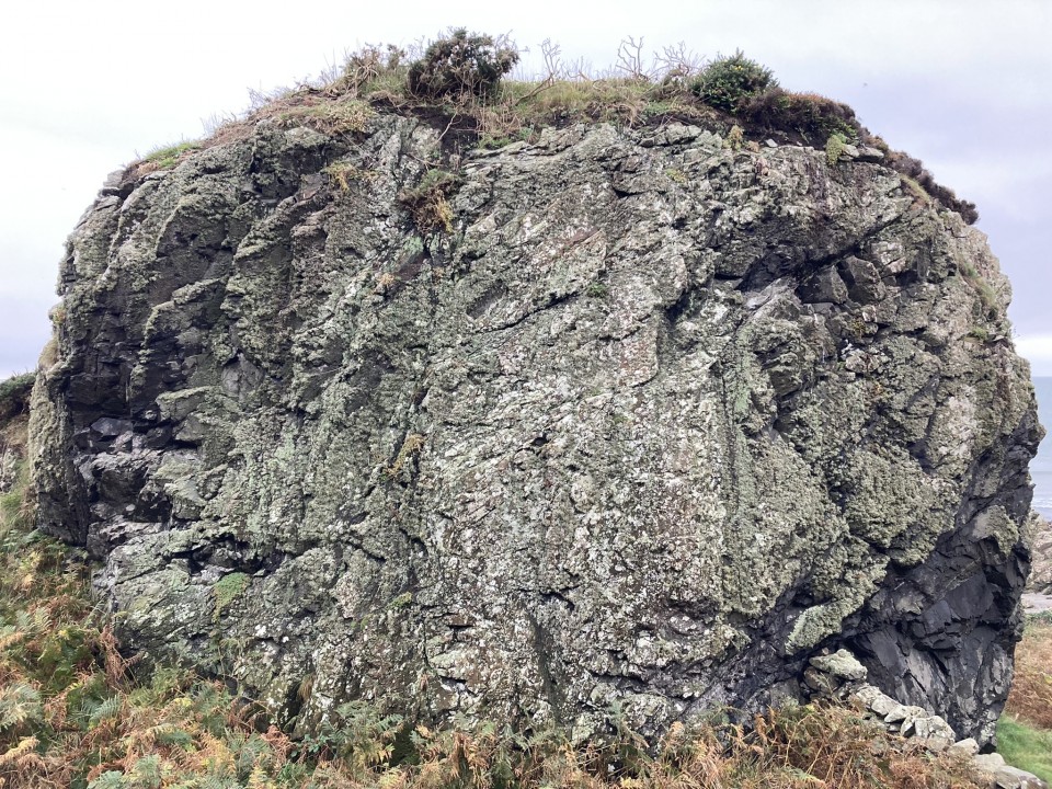
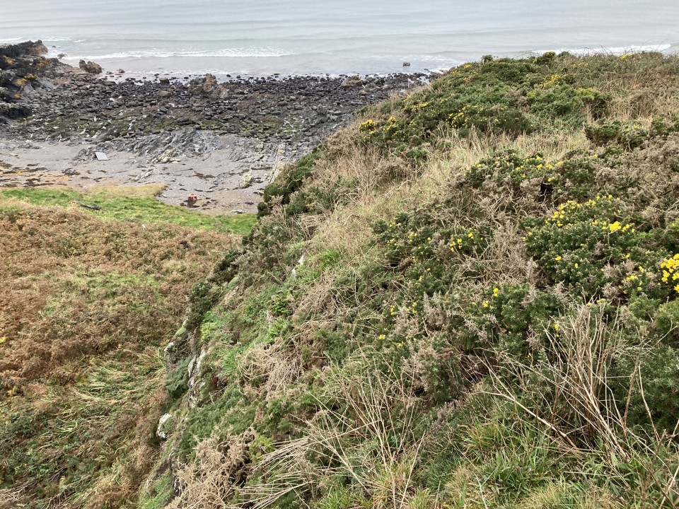
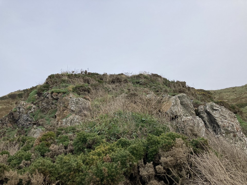
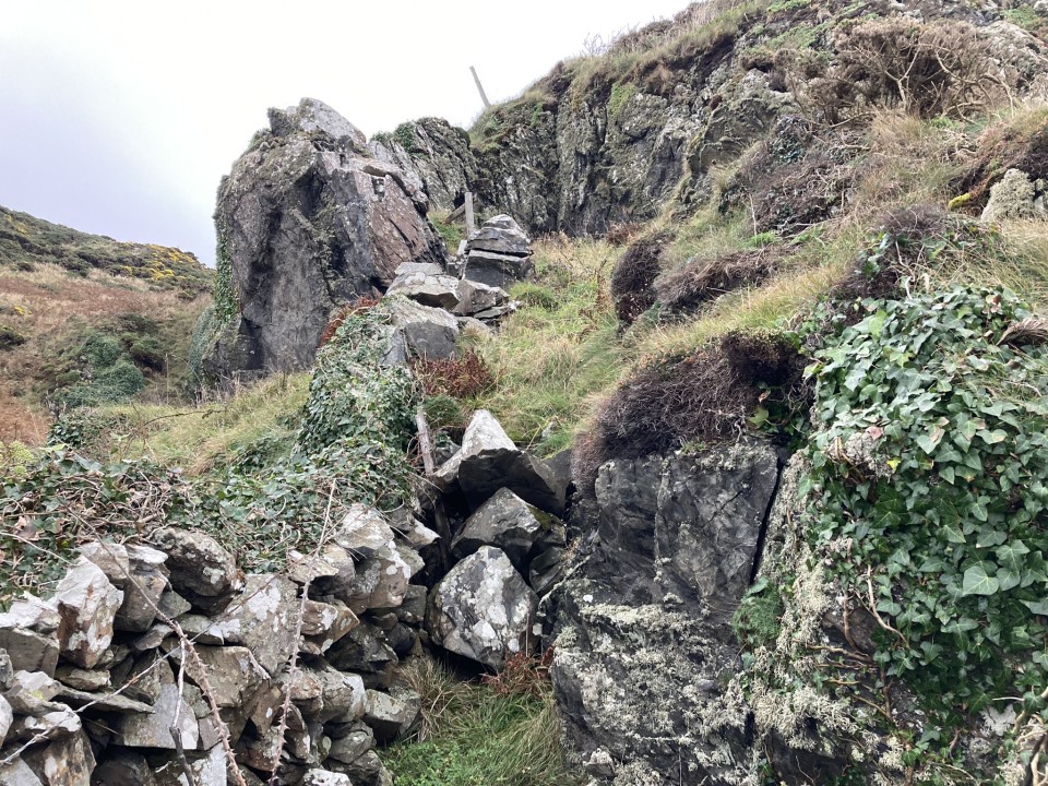
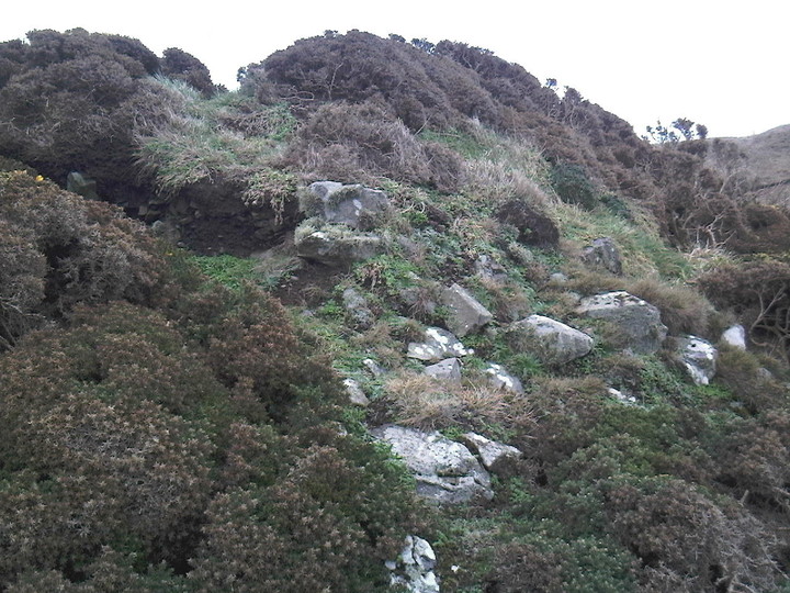
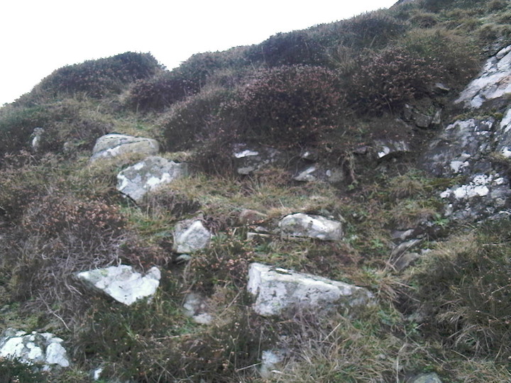
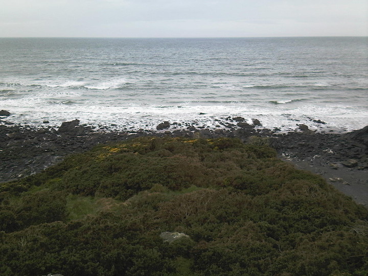
Killantringan Bay Dun is constructed on a rocky outcrop at the foot of an escarpment in Killantringan Bay. The outcrop is c. 33 feet high, sloping gently from E to W. The dun is well protected by the steep slopes on the N, E & S flanks of the outcrop. The W flank is the easiest access point with stone outworks of a possible entrance in the NW corner. Traces of a wall can be seen on the W flank. Gorse bushes have occupied the slope, blocking access to the dun. There is a steep climb on the SE corner which I was able to ascend. The summit of the outcrop at the E end reaches a height of c. 33 yards above sea level. The dun is on the W slope measuring c. 30 yards E-W and 12 yards N-S. There are no stones visible in the enclosure which has a thick covering of gorse bushes. Canmore ID 60326 (go to Links) has further details of Killantringan Bay Dun.
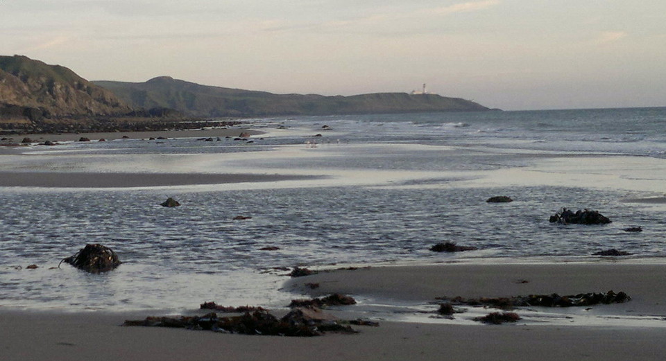
Reiterating Broch, if you don't fancy making the descent from the escarpment behind, a visit to this site is tide dependent. On the evening I visited the tide only receded sufficiently as light was fading. The main problem is at the rocky outcrop near the bottom of the steps from the car park. Watch your footing and keep your hands free as the seaweed and boulders are rather slippery. I couldn't find the site on my visit last year, and I wouldn't say it was late when I did so this time..except I saw a bat. Yes, little of the place remains, but it's still worthwhile, not least because of the very fine beach, which, out of season, in the evening you'll like as not have to yourself, and also the view from the other car park up at the lighthouse, where I've now come a couple of times to watch the sun go down over the Irish Sea. My site visit was truncated by the fast approaching darkness and also the arrival of a couple of cars in the car park and my ungrounded fear that their occupants may have had designs on mine. Memo to self: must return in broad daylight next time - tide willing. If you like to combine your hobby with chilling on a beach look no further
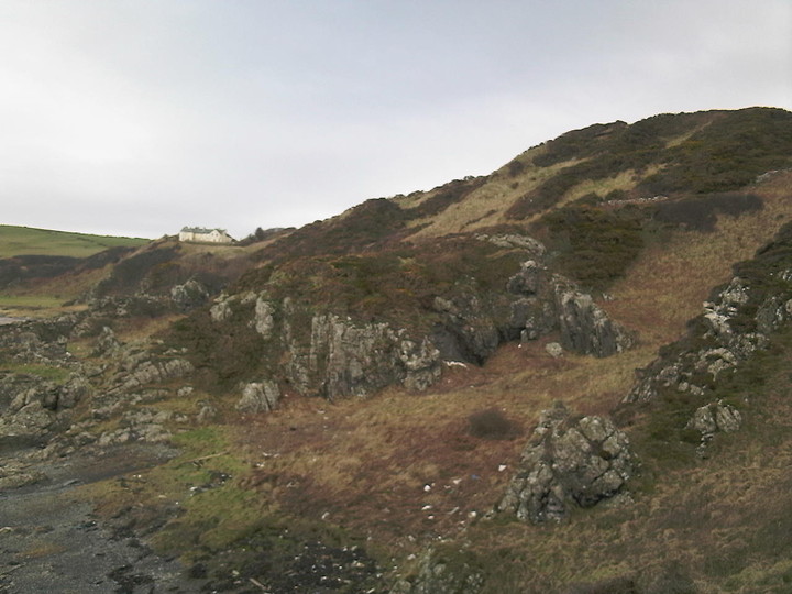
There is a small car park with access to the beach located just short of the Killantringan lighthouse and it is a short walk along the beach (tide permitting) to the Dun.
There isn’t a great deal of the fortification left but a couple of courses of stone on the SE side This is also the easiest way up to the level interior, there may be more masonry visible under the heavy covering of gorse but we didn’t linger to explore more than a few minutes. We had intended to continue up the coast to visit the more substantial “Kemp’s Walk” Promontory Fort. The weather however had other ideas and this was abandoned till another day!
Although not a great site it is well worth the short coastal walk to the Dun particularly along the beach, it is possible to reach the site from above along the escarpment (with care) we returned this way.