The Modern Antiquarian. Stone Circles, Ancient Sites, Neolithic Monuments, Ancient Monuments, Prehistoric Sites, Megalithic MysteriesThe Modern Antiquarian


Findlayston

Cairn(s)

<b>Findlayston</b>Posted by drewbhoyImage © drew/amj
Also known as:
  • Balnagight Wood

Nearest Town:Stonehaven (3km ESE)
OS Ref (GB):   NO84778918 / Sheet: 45
Latitude:56° 59' 36.8" N
Longitude:   2° 15' 2.48" W

Added by drewbhoy


Discussion Topics0 discussions
Start a topic


Show map   (inline Google Map)

Images (click to view fullsize)

Add an image Add an image
<b>Findlayston</b>Posted by drewbhoy <b>Findlayston</b>Posted by drewbhoy <b>Findlayston</b>Posted by drewbhoy <b>Findlayston</b>Posted by drewbhoy <b>Findlayston</b>Posted by drewbhoy <b>Findlayston</b>Posted by drewbhoy

Fieldnotes

Add fieldnotes Add fieldnotes
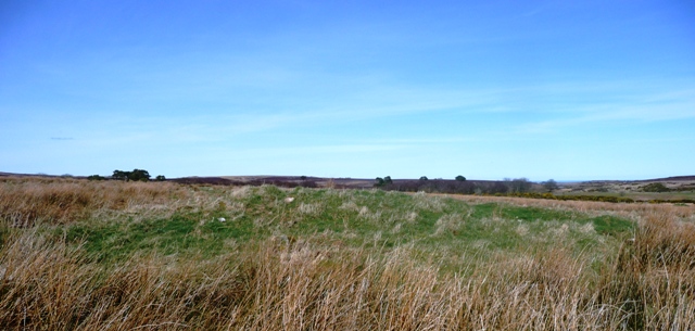
At Findlayston Farm I was given directions to approach the cairn from the north. On the minor road which connects the B079 and A957 north of Stonehaven stop at the double gateway. I parked just south of the gate. Walk due south for about 1/2 mile and you'll end up walking straight into the cairn. Underfoot conditions today were good as there had been a dry spell.

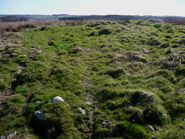
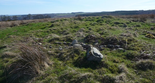
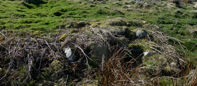
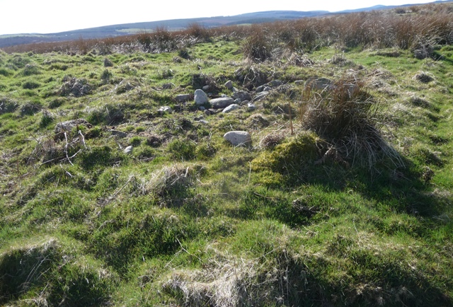
The cairn has been badly damaged and has had it's centre houked. On the east side damage has been caused by heavy duty farm machinery. Still the cairn remains over 20 meters in width and at its highest is over a meter in height. Cairn material lays strewn whilst a couple of kerbs remain in place, several have been toppled. Today Stonehaven looked magnificent in the Spring sun, Raedykes was lit up and the valley up the Slug Road was looking colourful.

Visited 5/4/2015.
drewbhoy Posted by drewbhoy
20th April 2015ce