The Modern Antiquarian. Stone Circles, Ancient Sites, Neolithic Monuments, Ancient Monuments, Prehistoric Sites, Megalithic MysteriesThe Modern Antiquarian


High Pennard

Promontory Fort

<b>High Pennard</b>Posted by thesweetcheatImage © A. Brookes (16.2.2013)
Nearest Town:Swansea (11km NE)
OS Ref (GB):   SS56778662 / Sheet: 159
Latitude:51° 33' 35" N
Longitude:   4° 3' 59.24" W

Added by thesweetcheat


Discussion Topics0 discussions
Start a topic


Show map   (inline Google Map)

Images (click to view fullsize)

Add an image Add an image
<b>High Pennard</b>Posted by thesweetcheat <b>High Pennard</b>Posted by thesweetcheat <b>High Pennard</b>Posted by thesweetcheat <b>High Pennard</b>Posted by thesweetcheat <b>High Pennard</b>Posted by thesweetcheat <b>High Pennard</b>Posted by thesweetcheat <b>High Pennard</b>Posted by thesweetcheat <b>High Pennard</b>Posted by thesweetcheat <b>High Pennard</b>Posted by thesweetcheat <b>High Pennard</b>Posted by GLADMAN <b>High Pennard</b>Posted by GLADMAN <b>High Pennard</b>Posted by GLADMAN <b>High Pennard</b>Posted by GLADMAN <b>High Pennard</b>Posted by GLADMAN <b>High Pennard</b>Posted by GLADMAN <b>High Pennard</b>Posted by GLADMAN <b>High Pennard</b>Posted by GLADMAN <b>High Pennard</b>Posted by GLADMAN <b>High Pennard</b>Posted by GLADMAN <b>High Pennard</b>Posted by thesweetcheat <b>High Pennard</b>Posted by thesweetcheat <b>High Pennard</b>Posted by thesweetcheat <b>High Pennard</b>Posted by thesweetcheat <b>High Pennard</b>Posted by thesweetcheat <b>High Pennard</b>Posted by thesweetcheat <b>High Pennard</b>Posted by thesweetcheat

Fieldnotes

Add fieldnotes Add fieldnotes
Visited 11.10.13

Directions:
See directions for Caswell Cliff Fort.
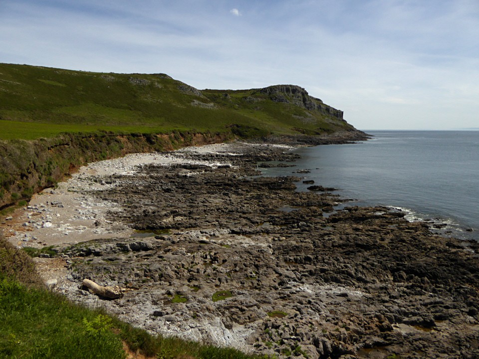
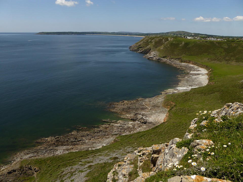
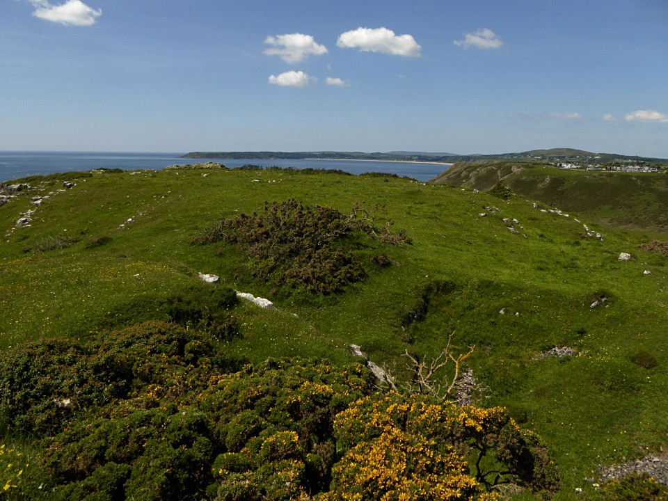
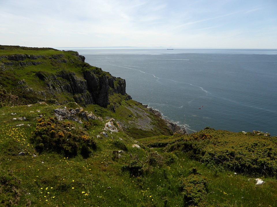
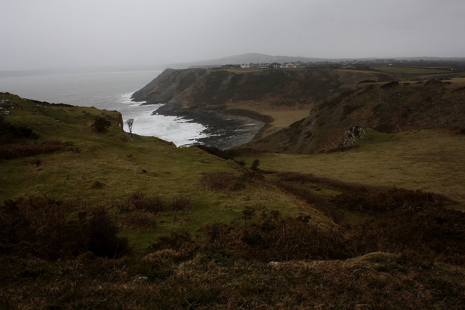
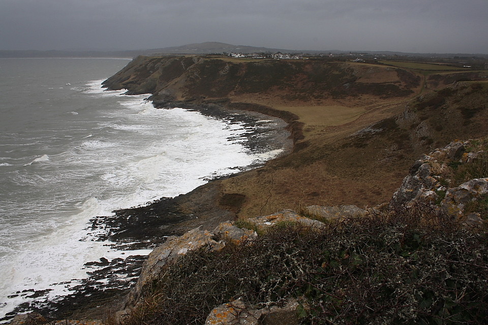
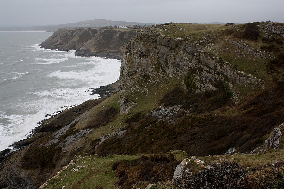
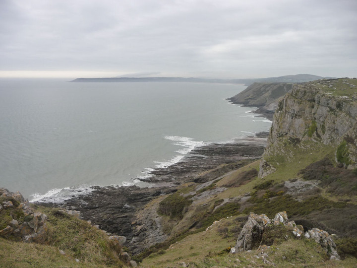
Continue west along the coastal path, past the picturesque Brandy Cove, the large pebble beach off Pwlldu Bay and up onto Pwlldu Head. It took me about 1 hour to walk from Caswell Bay to the fort.


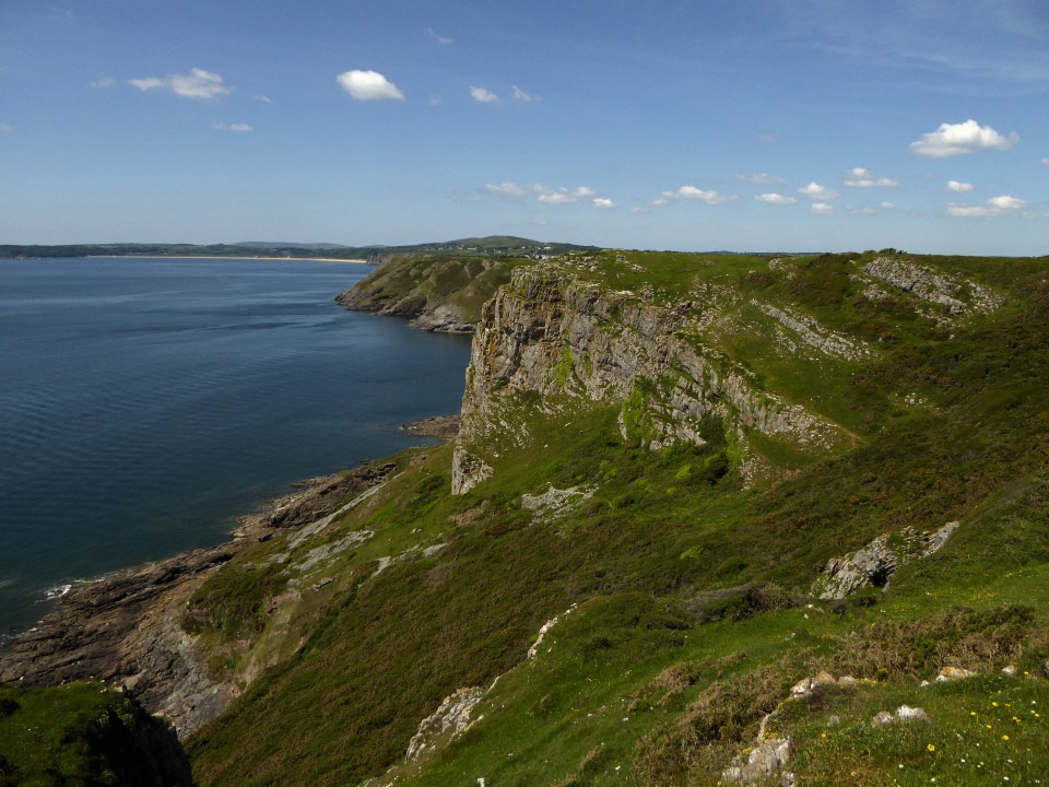
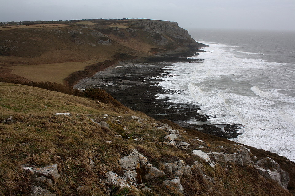
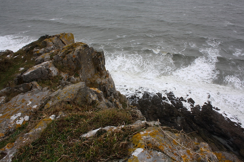
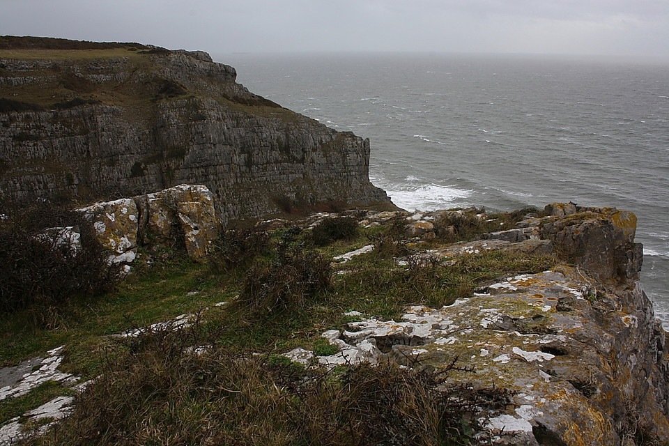
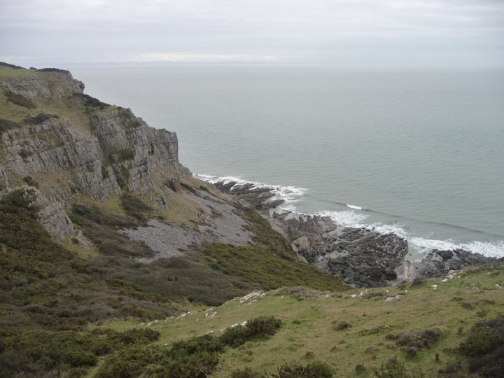
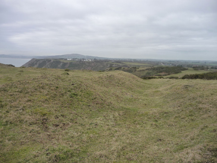
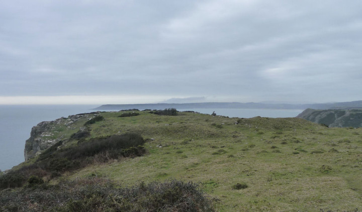
This stretch of coastal path is wonderful with a varied landscape and obvious fantastic coastal views. You do need to take care however, as sections of the path are very close to the edge of the cliff and you are no more than a step away from a ‘half day out with the undertaker’ – as the late great Fred Dibnah used to say.

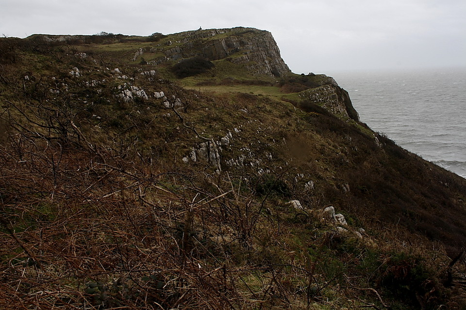
Pwlldu Head can be seen from a fair distance away as it is the highest point along this part of the coast. Although the path up to it isn’t overly demanding. On the way you pass what looks to be an old lime kiln. I startled a young fox that was enjoying the sunshine on the path between the gorse.

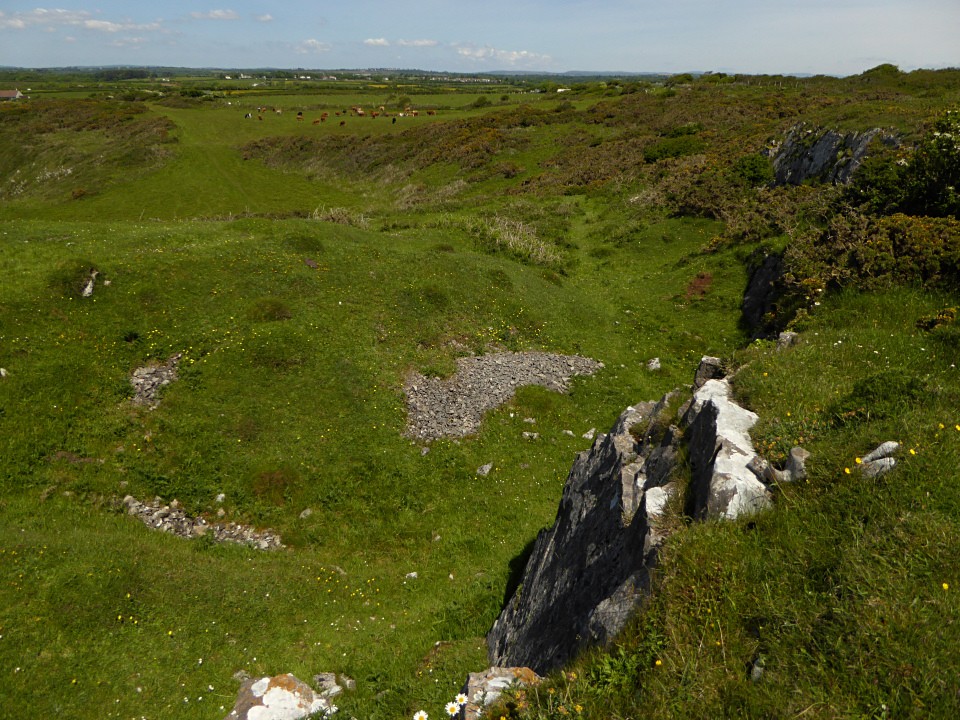
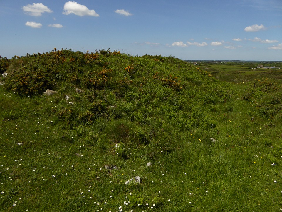
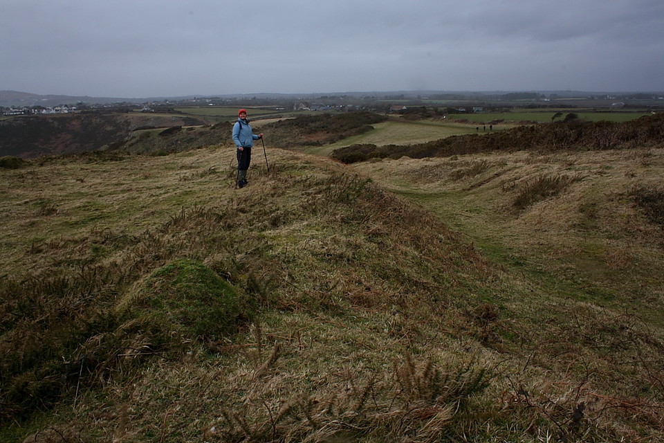
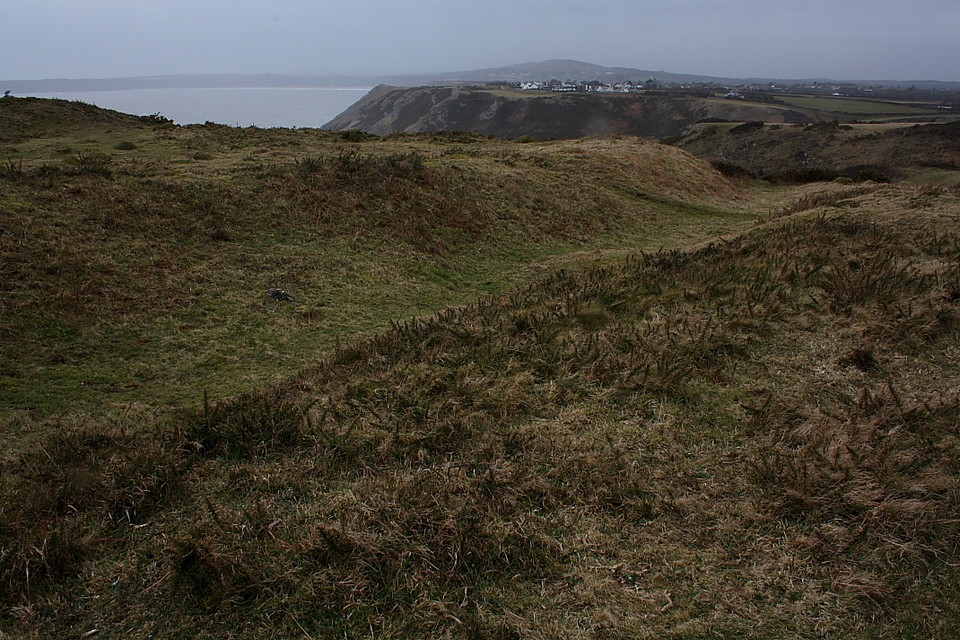
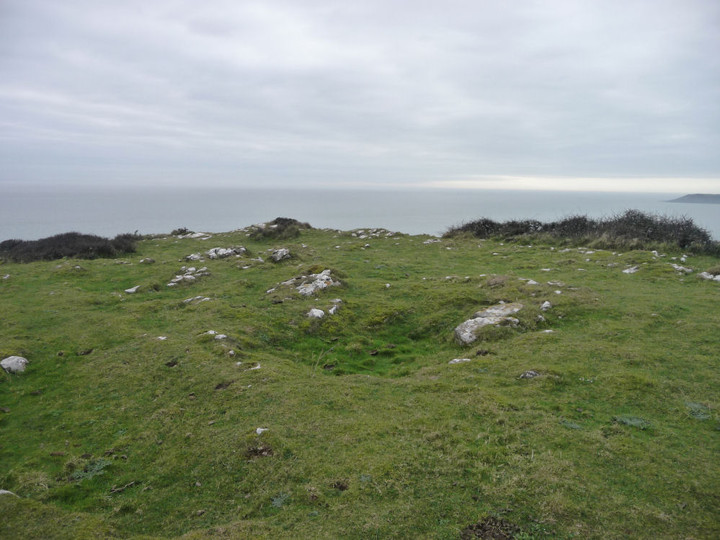
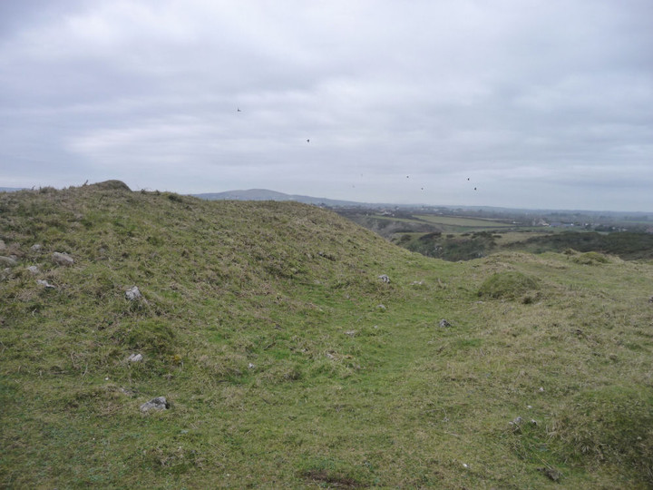
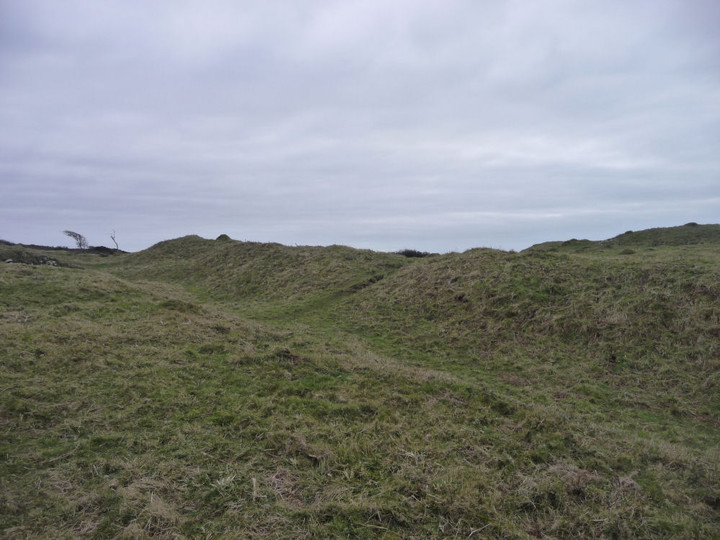
The centre of the fort is now a roughly oval field. Along the northern side of the field, under the hedgerow is a small earthen/stone bank.
Are these part of the remains of the northern defences?

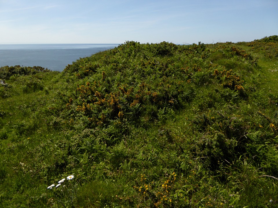
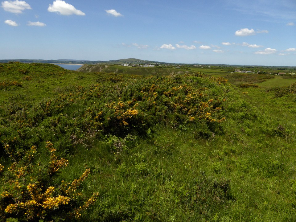
I would recommend a visit for the walk and coastal views but not for much of the archaeology remains.
Posted by CARL
15th October 2013ce