Directions:
See directions for Caswell Cliff Fort.
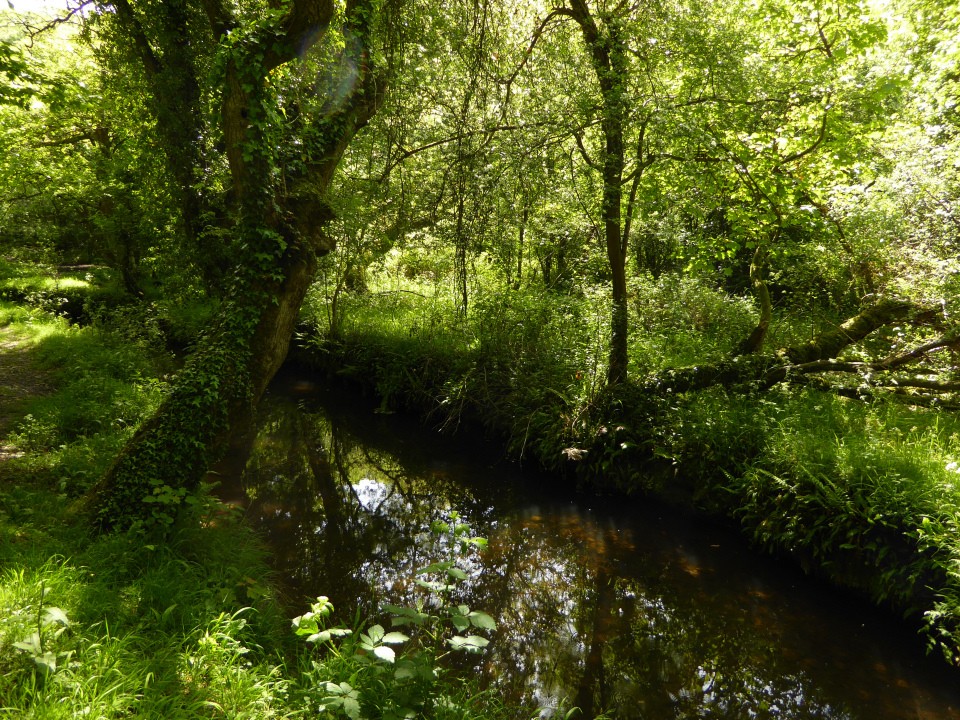
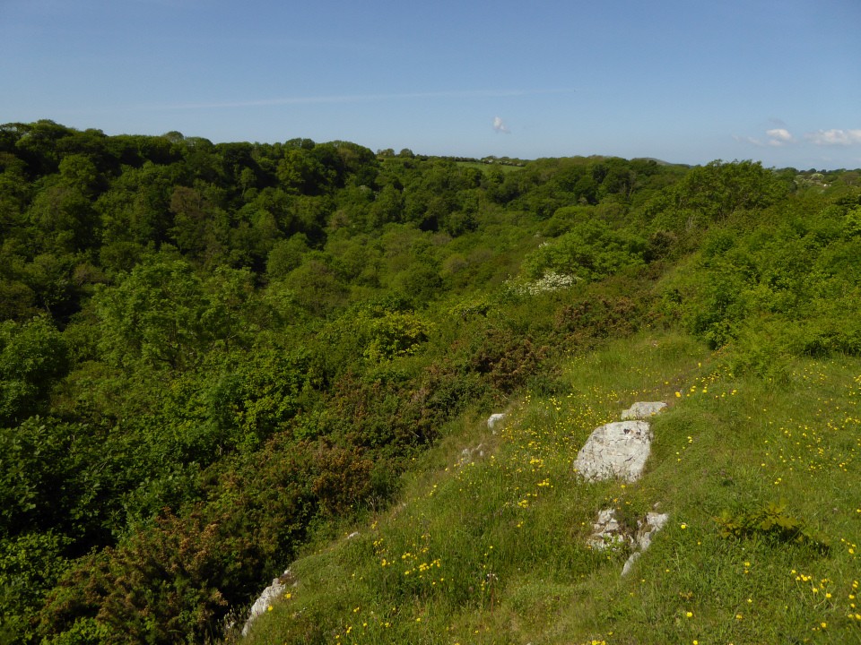
When you reach Pwlldu Bay there are two footpaths leading north off the main coastal path. I took the more western path which goes behind a house, across a field and into the woods. The fort is on the eastern side of the woods.
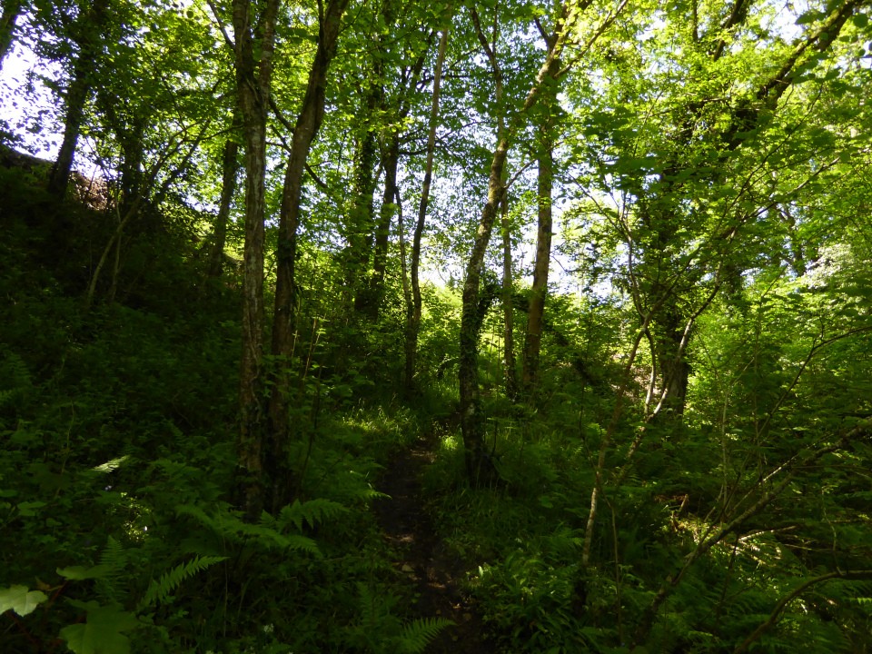
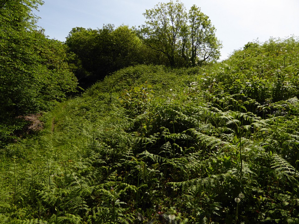
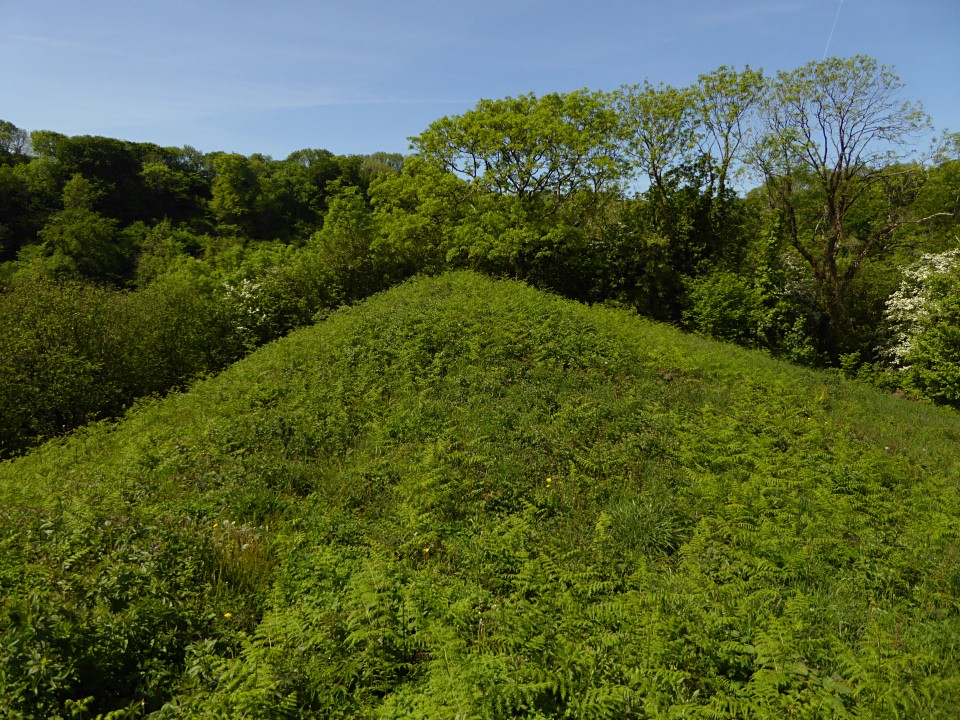
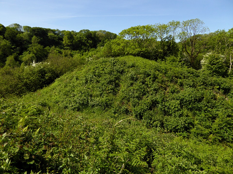
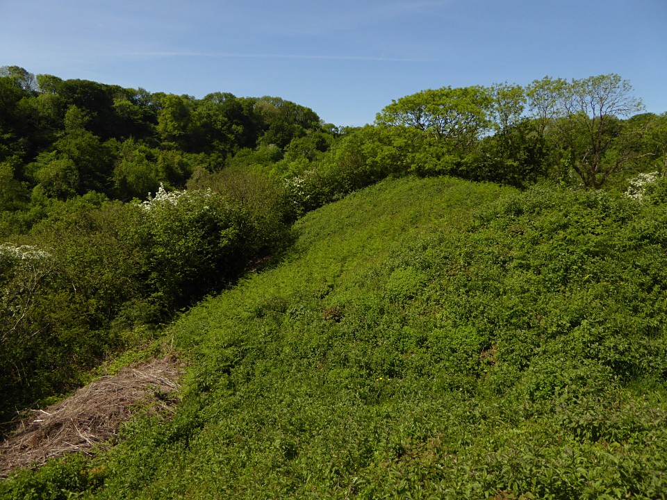
When I use the word ‘path’ what I really mean is a path on the map but nothing on the ground! When you enter the very overgrown woods you are met with a steep sided ravine in which making any headway is difficult. There are lots of moss covered boulders about and trees and roots angled in all directions. It reminded me a bit of the jungle in Jungle Book. Alas there was no sign of any singing/dancing monkeys. Certainly the archaeological remains amongst these trees are not as good!
In all honest I couldn’t make out anything of this promontory fort – but there again I can’t say with 100% certainty that I was looking in the right place to start with.
Perhaps it would be easier to approach the site via the more eastern of the two paths although this would involve walking through the woods the whole of the way.
Excavation finds, from a 1939 excavation by Audrey Williams, included two slingstones, bones of red deer, ox, pig and sheep or goat, together with various shells of molluscs. A Roman brooch and iron finger ring, and a fragment of plain Samian pottery indicate IA occupation continuing into the Roman period. A single hut circle was found just inside the inner rampart.
Info taken from "Prehistoric Sites of Gower and West Glamorgan" (Wendy Hughes, 1999 Logaston Press).
Coflein (J. Wiles 2002) description:
An enclosure, c.48m by 36m, formed by two lines of ramparts and ditches cutting off an inland promontory, the outer ditch utilising a natural fault. Entrance to the enclosure appears to have been from below the N side of the promontory, by-passing the ramparts.


 Posted by thesweetcheat