|
|

|
|
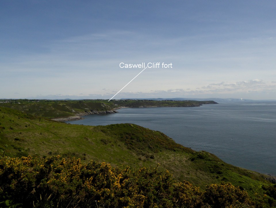
Caswell CliffCliff Fort
|
||||||||||||||||||||||||
|
|
|
Images (click to view fullsize) |
|
|
Fieldnotes |
|
|
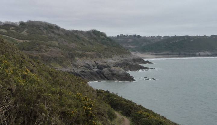
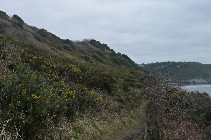
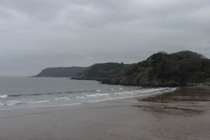
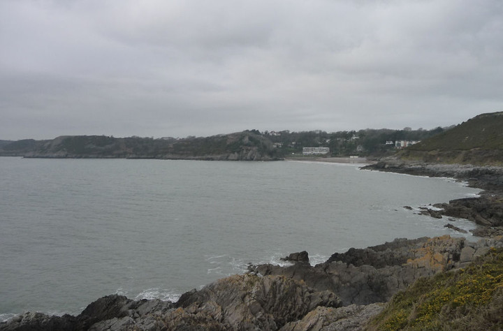
Visited 11.10.13 Directions: I parked in the Foreshore car park (opposite Bishop’s Wood - £2.20 for 2.5 hours) on the B4593 although there is another car park directly across the road from Caswell Bay. From Caswell Bay follow the coastal footpath signs west. There is low water tide route across the beach, or if the tide is in, along the narrow road (no pavement). It was a beautiful autumnal day and after having enjoyed my recent day out on the Gower so much I felt compelled to another visit. This time I decided to walk along the stretch of coastal path between Caswell Bay and Pwlldu Head. Only a short stretch of path but one that would allow me to take in 3 cliff/promontory forts. As an aside, the creation of the Wales Coastal Path has to be one of the best things the Welsh Government has ever done – an unquestionable success enjoyed by many people. It has been many, many years since I last visited Caswell Bay and I had completely forgotten what a great, family-friendly, place this is. Large car park, toilets, café / shop, Lifeguard station and easy access onto sands. The Bay is quite small so fairly sheltered, the sand soft and litter free and the sea a turquoise blue. The fact the sky was also blue and the sun shining brightly obviously helped matters. I arrived at the beach at 8.30am and noticed a photo-shoot of some sort taking place at the bottom of the beach. As the tide was out I opted for the low tide coastal route which involves walking across the lovely sands around to the right and up a set of steps. This then brings you out onto the coastal path proper. I looked up to where the Cliff Fort is but there was no chance of an approach from this direction. Near vertical sides with head height bushes of gorse. I decided to continue along the coastal path towards High Pennard Promontory Fort and try accessing the Caswell Fort on the way back via the alternative route along the road to the north of the site. The route along the road is quite dangerous and you will need to be very careful – particularly if you have children with you. The road is steep, narrow, with a couple of bends and cars that drive too fast. Sections of the road has no pavement so walking along the yellow lines is the best you can hope for. There is little/nothing that can be seen of the Cliff Fort, other than a roughly triangular shaped field. The boundary of the field (which may or may not have remains of ramparts) is completely overgrown with high bushes and is fenced off. Although I couldn’t recommend this site to visit from a TMA perspective I can highly recommend a visit to the lovely Caswell Bay and this stretch of the coastal path. |
Posted by CARL 15th October 2013ce |
Miscellaneous |
|
|
This is the easternmost of the many cliff forts to be found on the Gower Peninsular. Coflein (J. Wiles, 2002) has this brief description: A level area of promontory, c.55m by 30m, is cut off to the W by two lines of defences, the outer, said to follow a modern field boundary, barely tracable, the inner being a bank and ditch. |
 Posted by thesweetcheat
17th February 2013ce Edited 17th February 2013ce |