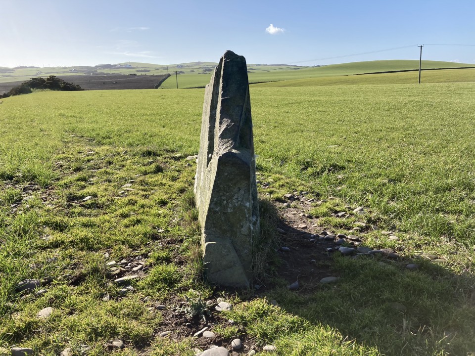
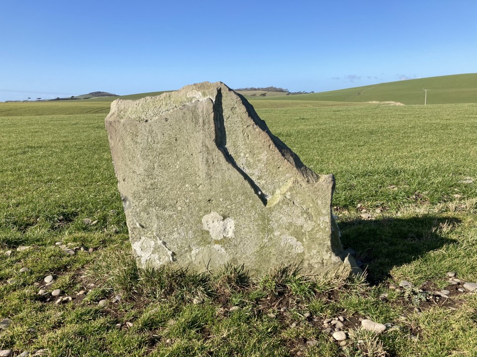
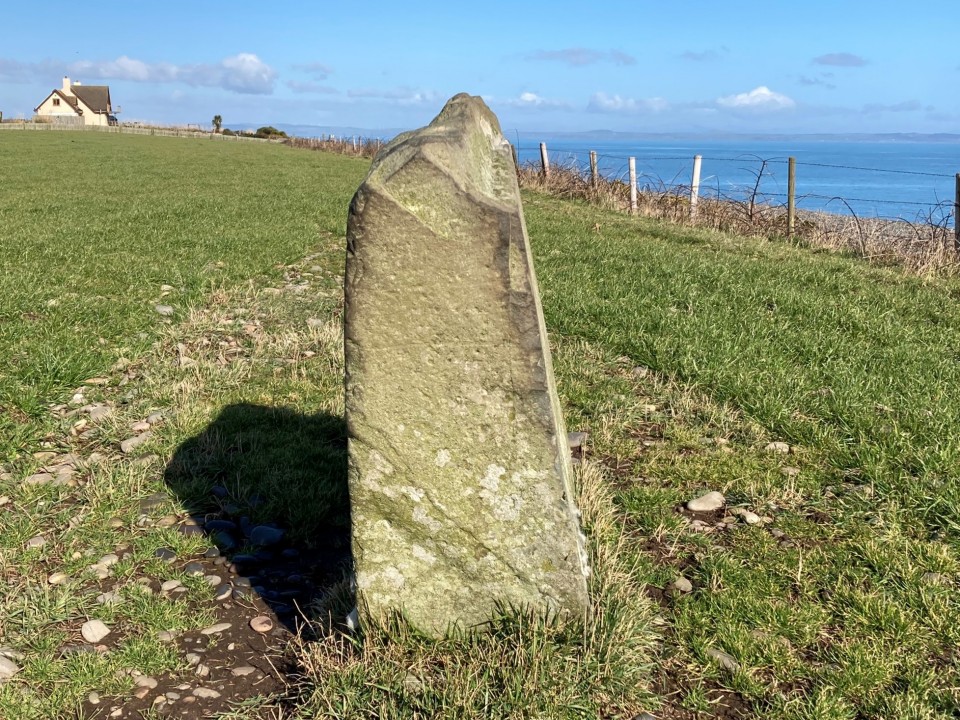
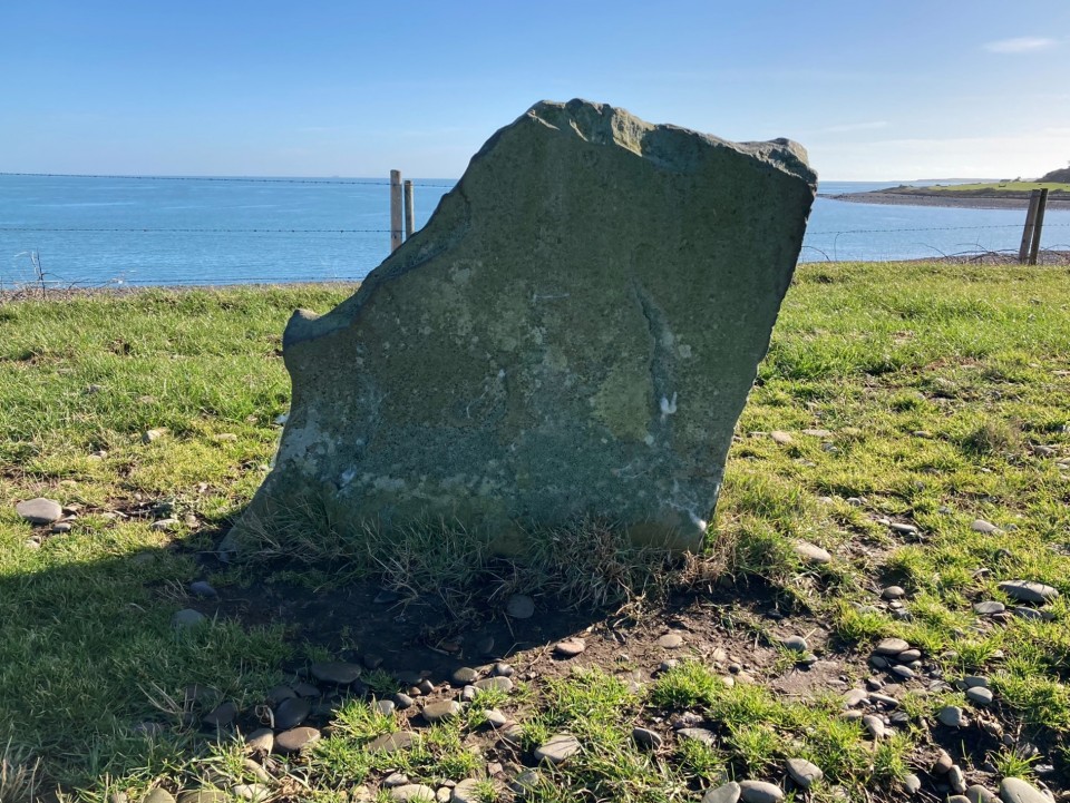
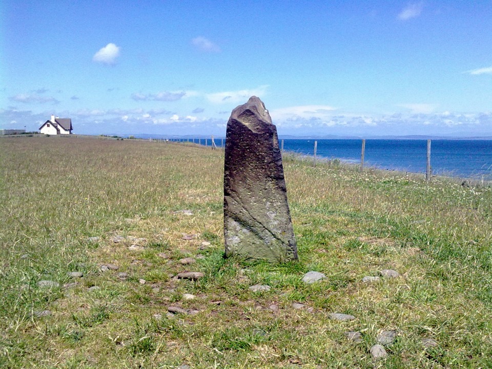
Terally Standing Stone is on the landward side of the A716 to Drummore. You will see it on the right around 0.6 mile after New England Caravan Park. There is a parking bay around 250 yards on the left after the stone. Canmore ID 61121 gives a full account of this broken stone.
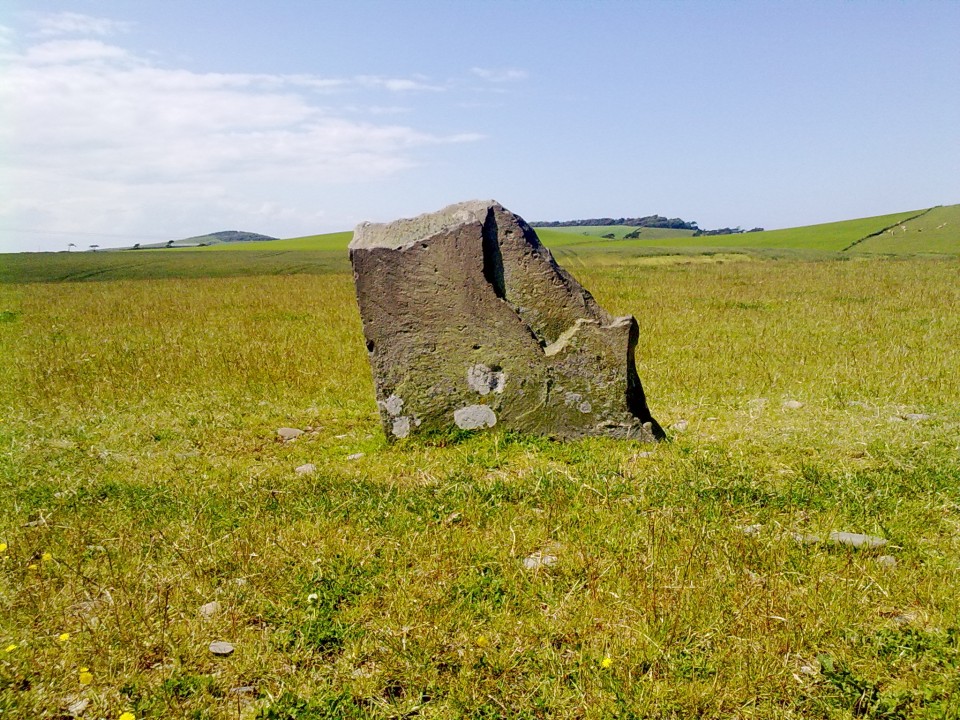
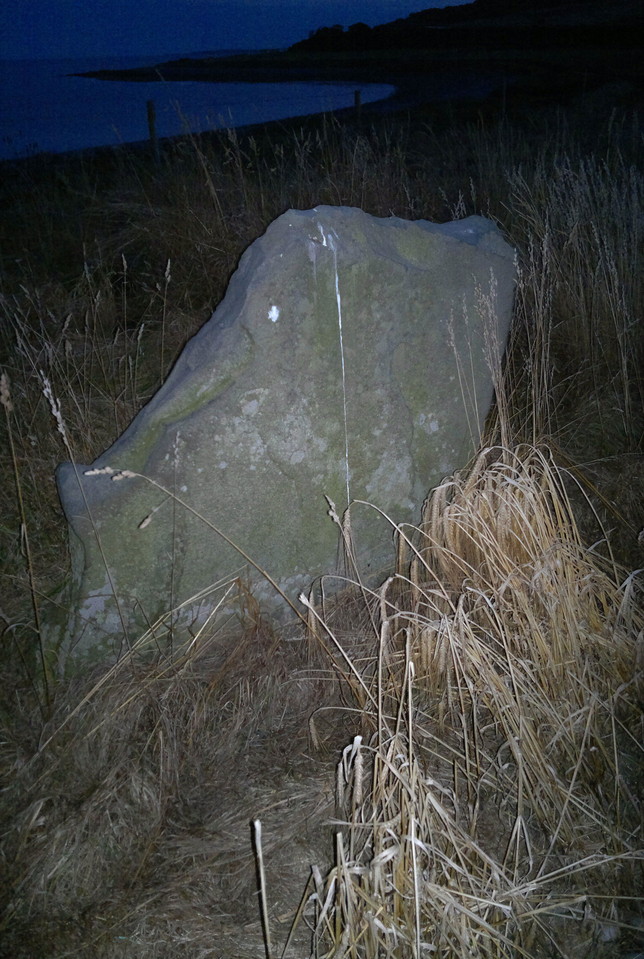
Before setting out on my explorations of Galloway sites in 2015 this was a site that I had decided I would definitely visit for no better reason than that I liked the name. Do not rely on the position indicated on the OS map - I think it is slightly nearer the '9' numeral shown. This was the last site visited on a day spent exploring some superb lesser known sites in the South Rhins, and was the only one featured on TMA. This is being corrected. Parking at dusk in an informal parking area above the shore of Terally Bay I walked up and down the verge of the A716 looking at the skyline of the raised field on the landward side of the road and, after a few minutes, 'aha!' I spotted the top of the stone against the fading light. Access to the field, which had been freshly shorn of its corn, was via an ungated entrance, on the south side of which was a very distinctive gorse covered mound, of which more shortly. I made my way along the field edge to the stone, which is about four feet high, roughly rectangular, and compared to all the other stones I visited, unusually thin, at its top being about six inches thick, rather reminiscent of a tombstone. As the last rays of the sunset waned I carried on photographing using flash. It hadn't images here, deserved to.. and would. I gave a pat and made to go, and then a thought struck me: was its orientation significant, a pointer? Aligning my eyes at either end of its top in turn I found that one pointed to the summit of Inchmulloch Hill to the southwest, while the other seemed to point to the highest point of the Mull of Sinniness on the other side of Luce Bay. Coincidence? Returning eventually to the field entrance in the gloaming I couldn't help investigating that gorsey mound.. I groped my scratchy way to its summit. A perfect cone. Animal disturbance revealed that it seemed not to be composed of field clearance material but finer stuff. A cairn, I'll be bound. A stream flows gently by the base of its southerly side to meet the shores of beautiful Luce Bay. A fine place for a final rest. A migrating corncrake flew over, calling in the dark. I descended carefully, walked back to the car as a golden near full moon rose over Whithorn and the water and drove off slowly to my campsite. It had been a good day.