The Modern Antiquarian. Stone Circles, Ancient Sites, Neolithic Monuments, Ancient Monuments, Prehistoric Sites, Megalithic MysteriesThe Modern Antiquarian


Harvieston

Ancient Village / Settlement / Misc. Earthwork

<b>Harvieston</b>Posted by GLADMANImage © Robert Gladstone
Nearest Town:Dornoch (43km S)
OS Ref (GB):   NC839317 / Sheet: 17
Latitude:58° 15' 31.61" N
Longitude:   3° 58' 43.76" W

Added by GLADMAN


Discussion Topics0 discussions
Start a topic


Show map   (inline Google Map)

Images (click to view fullsize)

Add an image Add an image
<b>Harvieston</b>Posted by GLADMAN <b>Harvieston</b>Posted by GLADMAN <b>Harvieston</b>Posted by GLADMAN <b>Harvieston</b>Posted by GLADMAN <b>Harvieston</b>Posted by GLADMAN <b>Harvieston</b>Posted by GLADMAN <b>Harvieston</b>Posted by GLADMAN <b>Harvieston</b>Posted by GLADMAN

Miscellaneous

Add miscellaneous Add miscellaneous
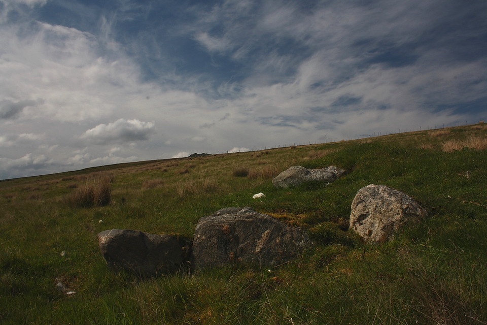
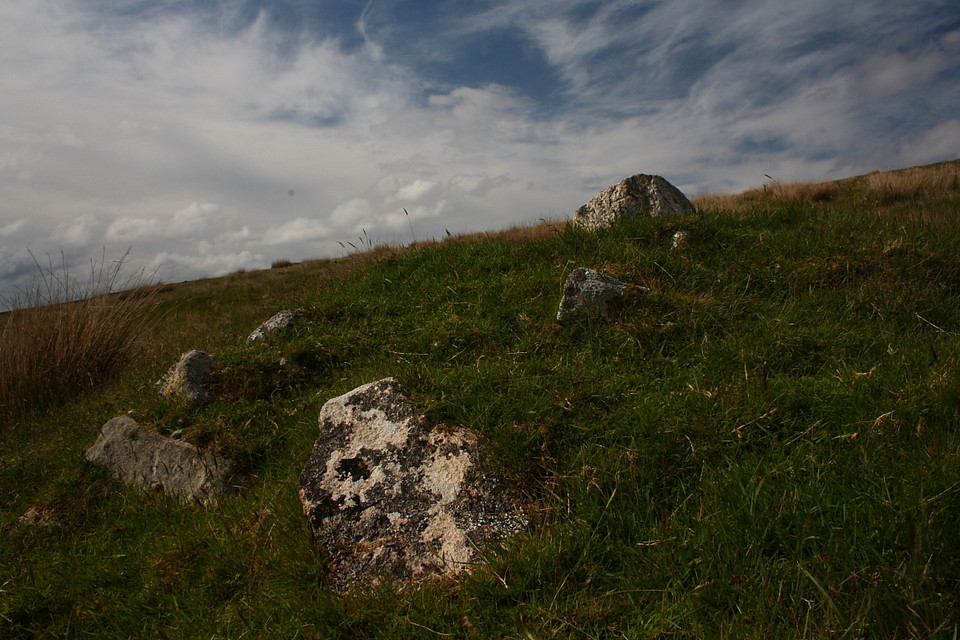
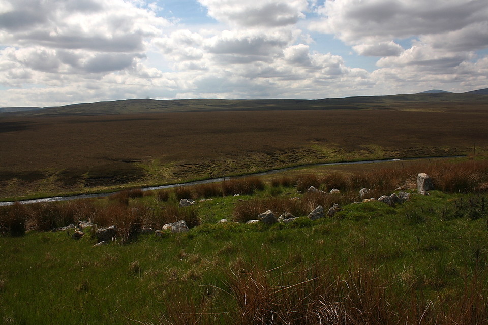
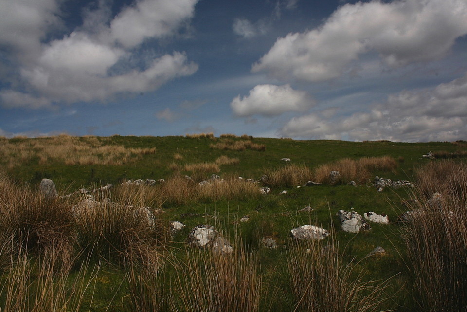
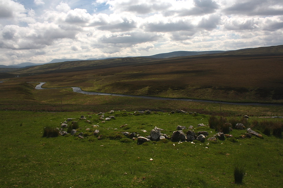
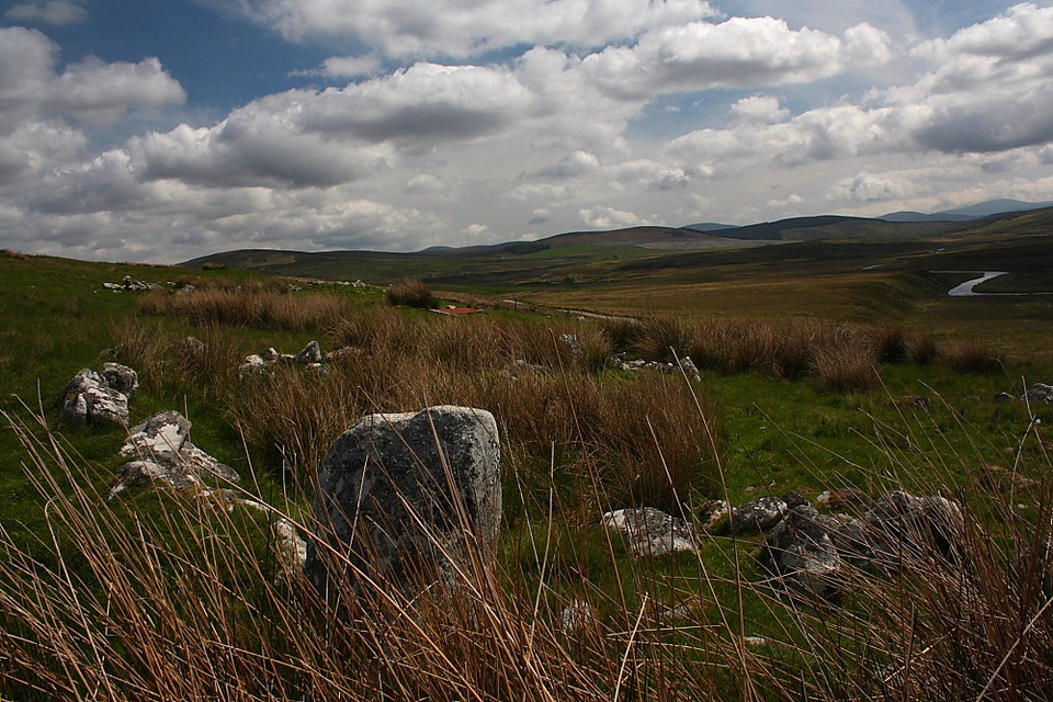
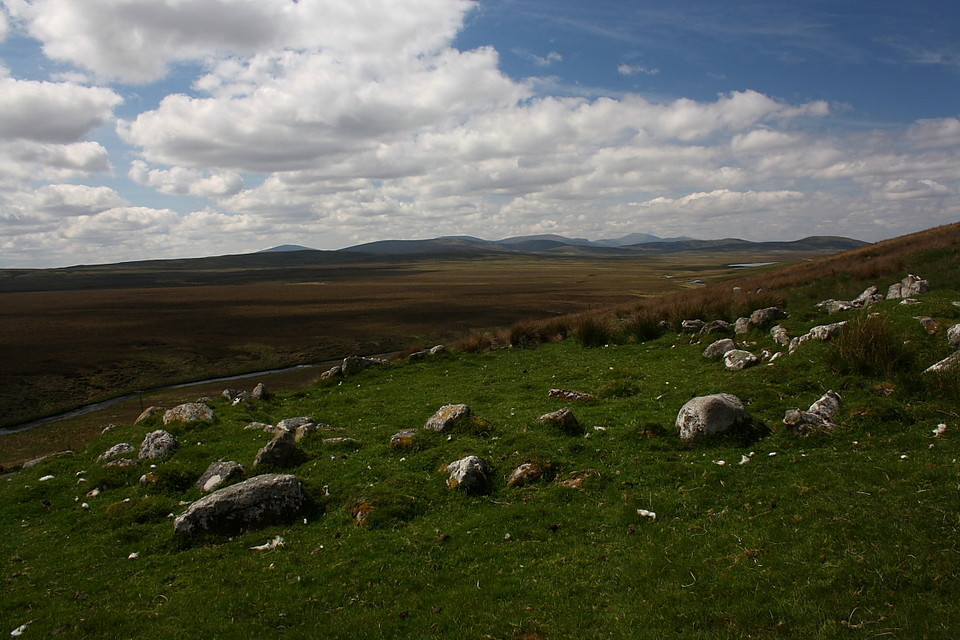
Located near to the fine chambered cairn Carn Richard this settlement, well positioned overlooking the River Helmsdale, consists of seven round houses, two of which are particularly well preserved... and an enclosure to boot.

The site was "found during field investigation in 1961 on a south facing hill-slope where RCAHM in 1909 had reported a field system. A further hut at NC 83773170 was discovered in 1968"

[RCAHM 1911; OS (WDJ, 1961; AA, 1968]
GLADMAN Posted by GLADMAN
24th July 2015ce