The Modern Antiquarian. Stone Circles, Ancient Sites, Neolithic Monuments, Ancient Monuments, Prehistoric Sites, Megalithic MysteriesThe Modern Antiquarian


Dunanellerich

Stone Fort / Dun

<b>Dunanellerich</b>Posted by LesHamiltonImage © Les Hamilton
Nearest Town:Uig (25km NNE)
OS Ref (GB):   NG284416 / Sheet: 23
Latitude:57° 23' 0.99" N
Longitude:   6° 31' 11.75" W

Added by LesHamilton


Discussion Topics0 discussions
Start a topic


Show map   (inline Google Map)

Images (click to view fullsize)

Add an image Add an image
<b>Dunanellerich</b>Posted by LesHamilton <b>Dunanellerich</b>Posted by LesHamilton <b>Dunanellerich</b>Posted by LesHamilton

Fieldnotes

Add fieldnotes Add fieldnotes
Visited: September 3, 2014

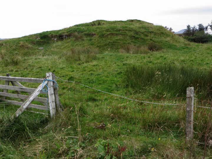
Listed as a 'possible dun' by RCAHMS, the grass-covered mound of Dunanellerich is already prominent when viewed from the roadside beside the bus shelter at the south of Harlosh when loooking west towards the community of Dunanellerich. A walk of 300 metres or so will take you there.

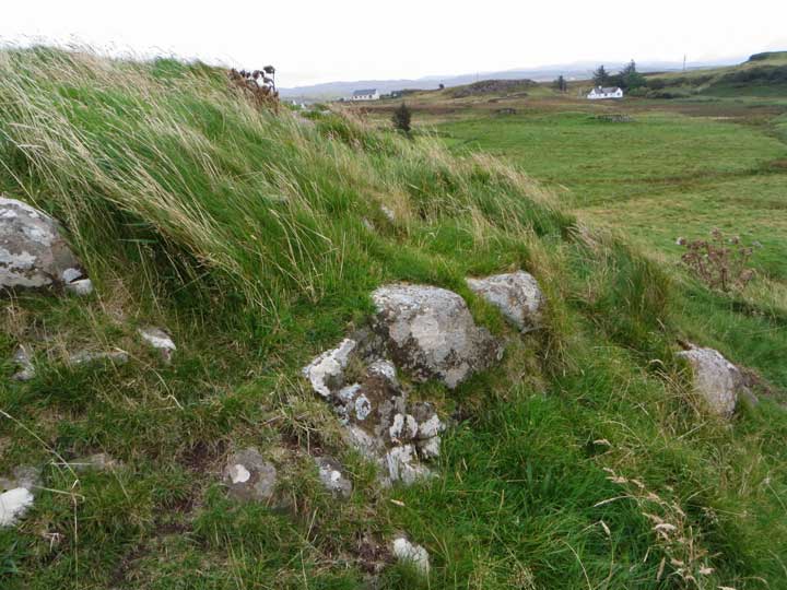
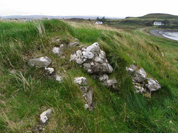
There is little to see here. The mound itself is completely covered by grass, though stonework emerges intermittently all around. Canmore states that the site has been used as a stone quarry in the recent past, obscuring much of any detail that formerly existed.
LesHamilton Posted by LesHamilton
17th September 2014ce
Edited 16th January 2018ce