Leaving Churchdown Hill by its southeastern slopes, the M5 and various fast-moving main roads now occupy much of the low-lying plain below (18.1.2015).
This barrow is one of very few surviving prehistoric sites below the Cotswolds escarpment. Although there are plenty of examples in various states of disrepair up on the limestone plateau, most of the barrows down in the vale of the Severn have long-ago succumbed to the ravages of agriculture, or they simply never existed.
I've never made it here before, as the combination of A-Road and muddy fields that provide the surrounding landscape look unappealing enough on a map. But the long-awaited visit to Churchdown makes this an obvious enough pairing.
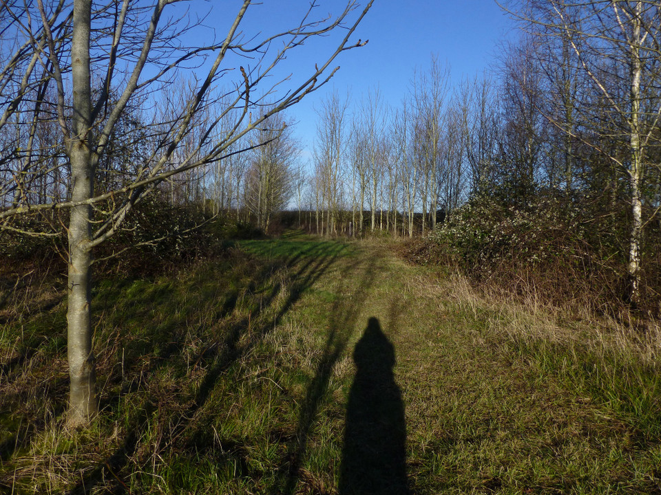
I approach from Brockworth Road to the west. The OS 1/25000 shows a footpath skirting the fields alongside the A417, but when I get to the relevant spot there's no signpost. I take my chance and follow the route around the field edge. This is yet another of those fields of clinging clay that the farms round here specialise in. It's not too bad on the field edge, but at length I get to the point where the map shows the path cutting northeast across the field towards the little wood where the barrow lies. Although only a couple of hundred yards, I seem to have picked up a large proportion of the field's surface by the time I make it to the woodland verge.
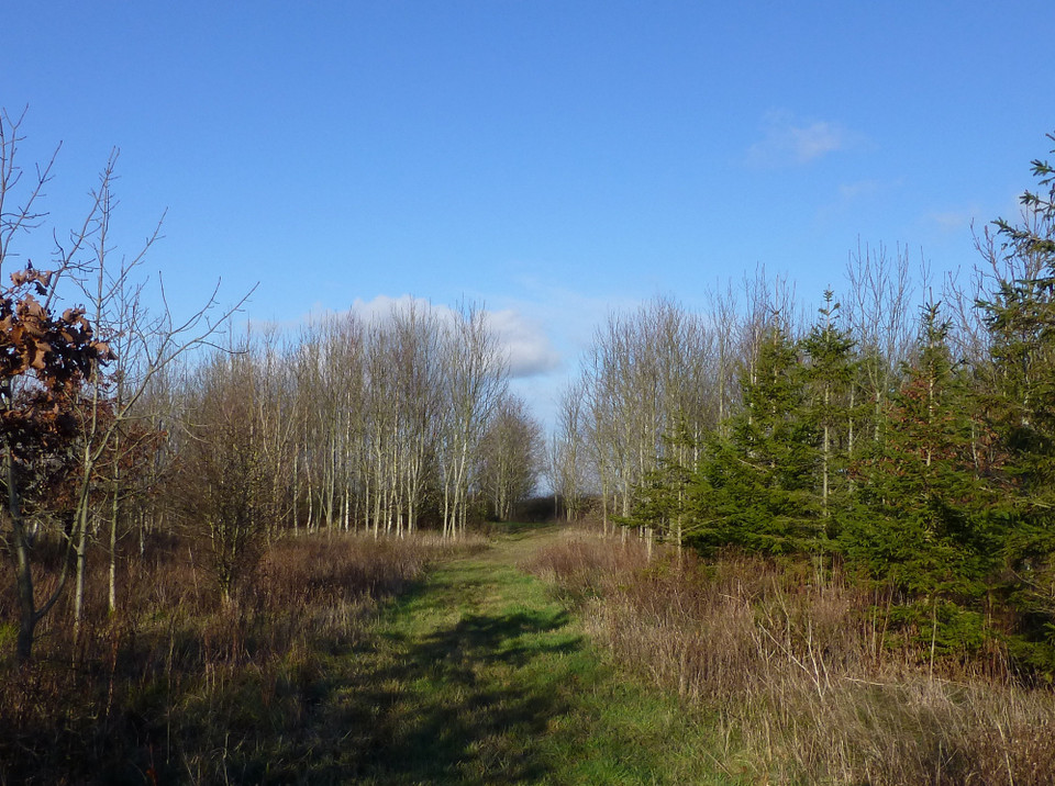
From here it's easier going, a narrow track running alongside the woodland. At the northern corner, a very welcoming post informs me that access to the wood is permitted by the landowner, so getting to the barrow is straightforward as long as the vegetation is kind.
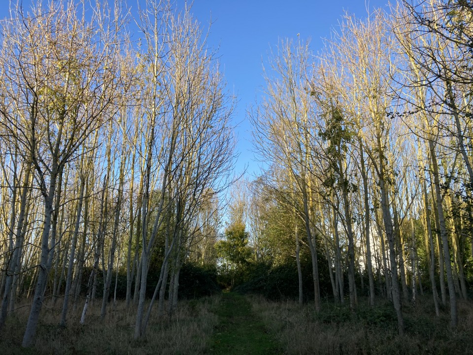
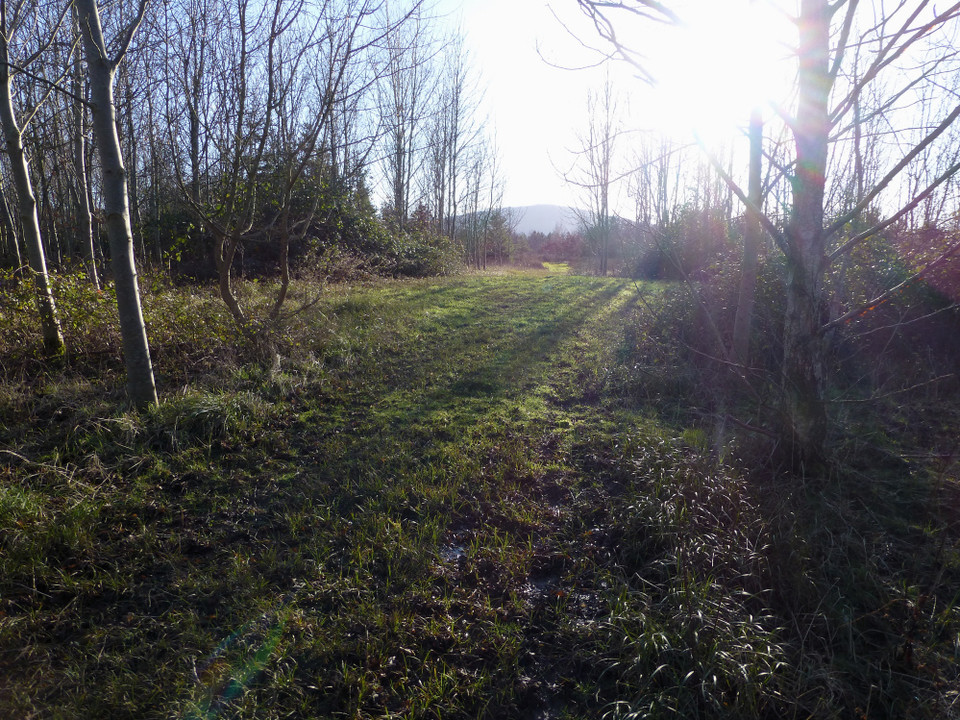
The barrow is near the northern edge of the wood. When I get to it, I'm relieved to find it has not been planted. The woodland itself is young, and a space for the barrow has clearly been left open. The barrow itself is rather disappointing, almost flattened and only really obvious as a mound when viewed from the south. However, the woodland setting is really rather nice. The nearby road doesn't intrude and I can imagine that in spring the new growth in the canopy will make for a very pretty spot.
Despite its relatively poor state, the barrow was rich with finds. Gloucestershire HER mentions 14 worked flints and "a fossilised burrow from a marine boring bivalve that had probably been reused as a bead".
I leave through Primrose Vale Farm to the east, realising as I do that access to the woods is possible - and signposted - directly from the farm shop, so if you're coming by car, this is the way to come (there's a car park at the farm shop).
It's not the best barrow you'll ever see, but the rarity of a site in this low-lying landscape makes it worth the effort in itself, with the tranquility of the surrounding woods an added bonus.

 Posted by thesweetcheat