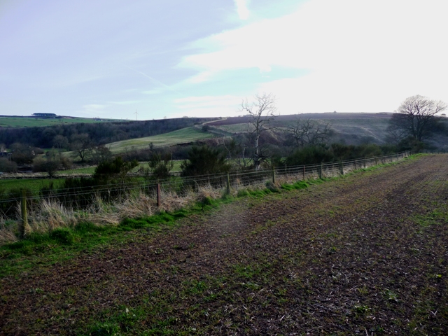
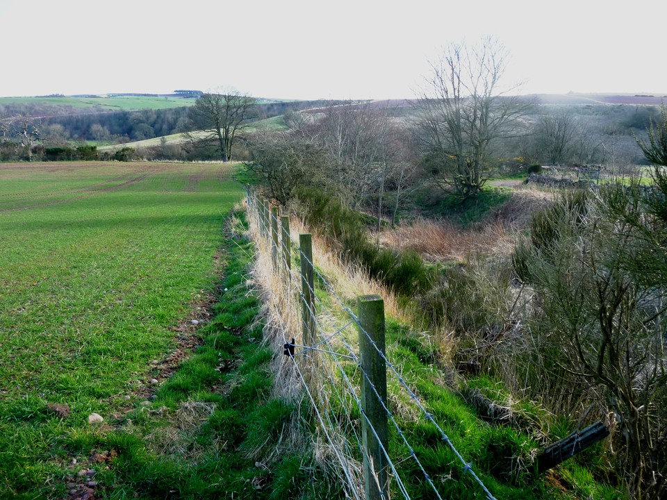
From Middle Knox Farm I headed straight north on the farm track leading up and thru Upper Knox. A pleasant day for a walk as on this day the temp was 22. On reaching the minor road head west then take the next minor road north. This leads thru Peattie farm. Keep going north easterly until the track ends. Head down the slopes, wade across the Bervie Water (suitable attire was worn) and the promontory will be in front.
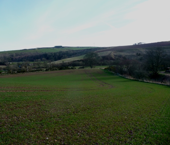
Sadly nothing remains of this fort except indicators of ramparts on cropmarks and aerial photography. However it is an ideal place for this type of fort with the nearby Bervie Water providing fresh water. The steep slopes on 3 sides provide natural protection. Nearby are Millpough (RSC) and Pitcharles (cairn) as well as Allardice Castle.
However by this time the temp had dropped to 8 so it was time to head back to Middle Knox via the Bervie Water. Not quite so relished this time.