|
|

|
|
Dun ArkaigBroch
|
||||||||||||||||||||||||
|
|
|
Images (click to view fullsize) |
|


|
Fieldnotes |
|
|
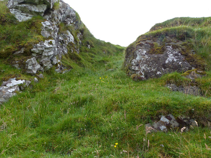
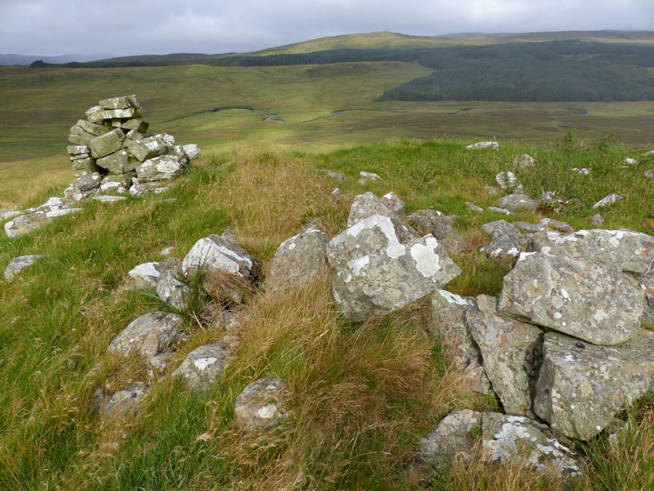
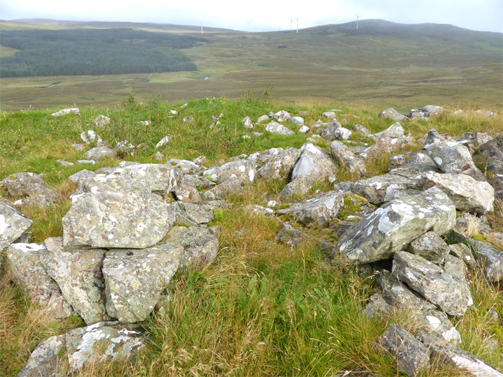
Visited: September 7, 2015 Starting point was at Caroy, taking the 2 km road (boasting a recently tarmacked surface) to Balmeanach, and parking up at the start of the forestry road. One kilometre along this wide avenue through the woodlands, a path branches to the right, taking you out of the trees after 300 metres. Ahead, grassy flats with patches of rushes in the damper areas slope gradually down to the River Ose. The going is very easy and there is only one wire fence to be straddled. Dun Arkaig is visible on the slopes across the stream, but quite difficult to discern unless you know exactly where to look. The meandering River Ose is still quite broad, even this far up the valley, but it is, deceptively, very shallow, and is easily forded where, a short distance into its major meander, a shingle bank takes you most of the way: the remainder was no more than 5 cm deep, and I walked through it without water getting into my boots. This route of attack is very much easier—and shorter—than my attempted boggy tramp up the other side of the glen. Dun Arkaig stands about 30 metres above the river beyond the far bank, and can be difficult to see. The broch itself is invisible as it sits beyond the brow of the convex slope ahead. Just head uphill to the obvious broad grassy area with a small outcrop of rock in it. The dun stands on top of the the rising ground beyond. The first thing you are likely to see is the small (modern) cairn built on its southern boundary. There's lots of good external masonry remaining at Dun Arkaig, with enough evidence to confirm it as a broch. The remains of one intramural chamber stand out and in several places two courses of neatly positioned large stones can be seen. |
 Posted by LesHamilton
16th September 2015ce Edited 23rd April 2017ce |
|
May 25, 2015 However you approach it, Dùn Arkaig is probably the most remote of the Skye brochs. Brochs are generally found close to the coast, but this one stands some four kilometres up Glen Ose. I made my attempted visit, starting from the community of Gearymore, by taking to the higher ground past the final house. Unfortunately, everything was very wet, and I was forced to turn back about a kilometre short of my target by an unexpected stream in rather high spate. On reflection, an approach from the north, taking the road to Balmeanach, then forestry tracks, would seem to be a much friendlier route (so long as the River Ose is not in spate, as it has to be crossed eventually). |
Posted by LesHamilton 4th June 2015ce Edited 4th June 2015ce |