The Modern Antiquarian. Stone Circles, Ancient Sites, Neolithic Monuments, Ancient Monuments, Prehistoric Sites, Megalithic MysteriesThe Modern Antiquarian


Anglezarke Moor Standing Stone

Standing Stone / Menhir

<b>Anglezarke Moor Standing Stone</b>Posted by LivingRocksImage © John Miller
Also known as:
  • Monument No. 1541029

Nearest Town:Chorley (5km WSW)
OS Ref (GB):   SD6284818386 / Sheet: 109
Latitude:53° 39' 37.14" N
Longitude:   2° 33' 44.16" W

Added by LivingRocks


Discussion Topics0 discussions
Start a topic


Show  |  Hide
Web searches for Anglezarke Moor Standing Stone
Show map   (inline Google Map)

Images (click to view fullsize)

Add an image Add an image
<b>Anglezarke Moor Standing Stone</b>Posted by LivingRocks <b>Anglezarke Moor Standing Stone</b>Posted by Rivington Pike <b>Anglezarke Moor Standing Stone</b>Posted by Rivington Pike <b>Anglezarke Moor Standing Stone</b>Posted by Rivington Pike <b>Anglezarke Moor Standing Stone</b>Posted by Rivington Pike

Fieldnotes

Add fieldnotes Add fieldnotes
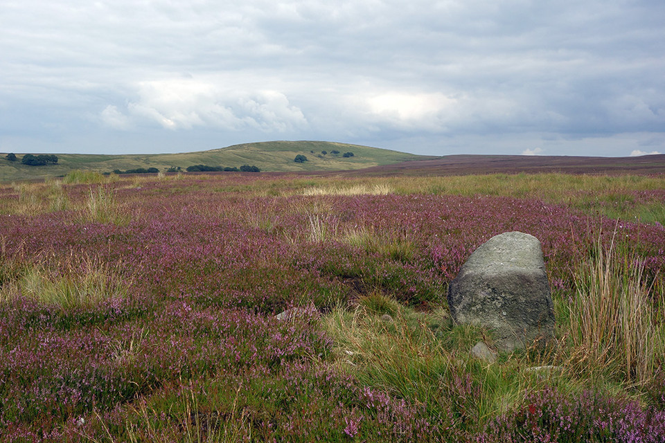
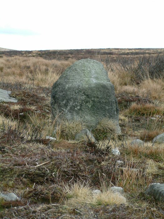
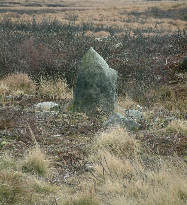
Listed on Pastscape as a “Broken standing stone on Anglezarke Moor. Possibly prehistoric, but more likely a med/post-medieval waymarker” this stone at least has its feet rooted in the ground, not in peat & is also situated away from any major stone working sites, but as with so much up here the question of its antiquity remains. In common with most of the Anglezarke sites whichever way you try to access this stone, bogs & tufty grass are on the menu! Posted by LivingRocks
23rd August 2015ce

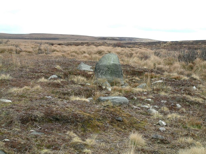
Heading East from Black Coppice Cairn towards Round Loaf, the upright stone appeared on the horizon. The plateau on which it stands to the North of Hurst Hill had been badly burned last summer and most of the vegetation had been removed exposing the peat layer which was now eroding.

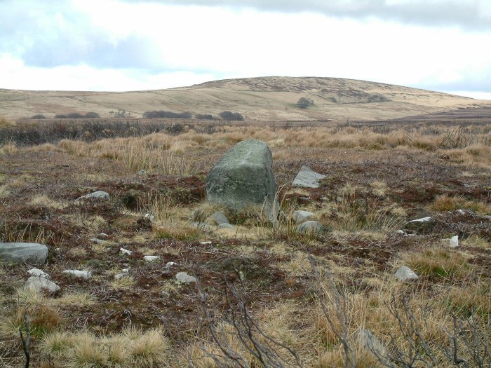
The site consists on 1 upright stone (a rare feature on Anglezarke) and the possibility of others emerging through the peat.

Views of the surrounding landscape are superb from here, with Great Hill to the North East, Round Loaf to the East, Winter Hill to the South and the Lancashire plain to the West.
Rivington Pike Posted by Rivington Pike
7th March 2004ce
Edited 17th August 2015ce