By now I’m feeling the need to press on, with the biggest hill of the day looming ahead, so I don’t stop very long to search. It is worth pausing to look at the unfolding view of the limestone cliffs across the gorge to the north. Somewhere in that hillside is Aveline’s Hole and there appears to be a hillfort or settlement on the hilltop above it. A good reason to come back to the area anyway.
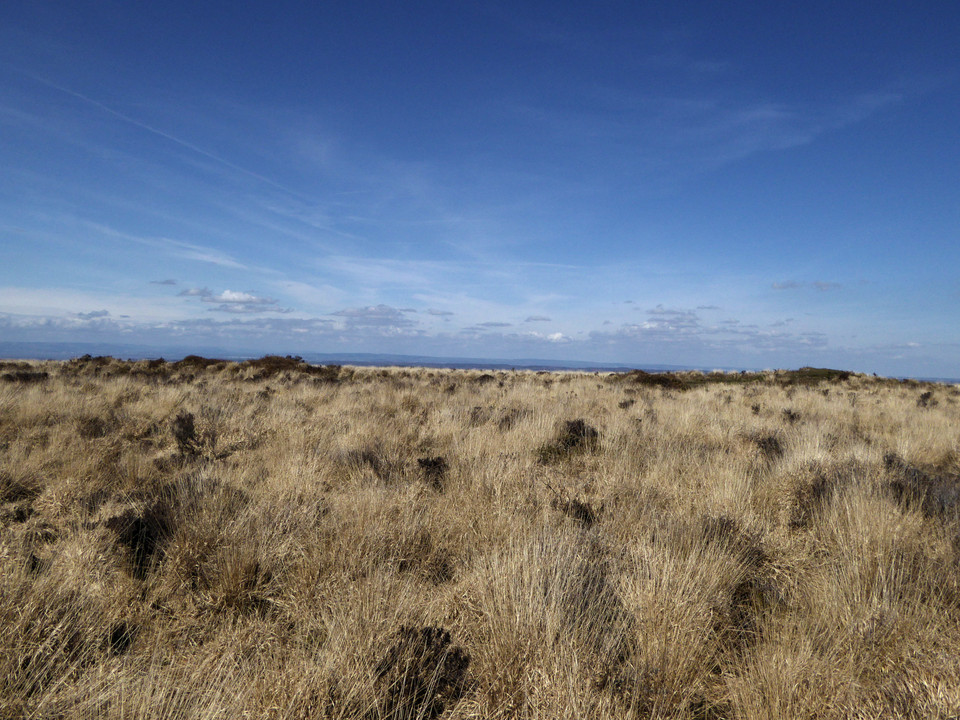
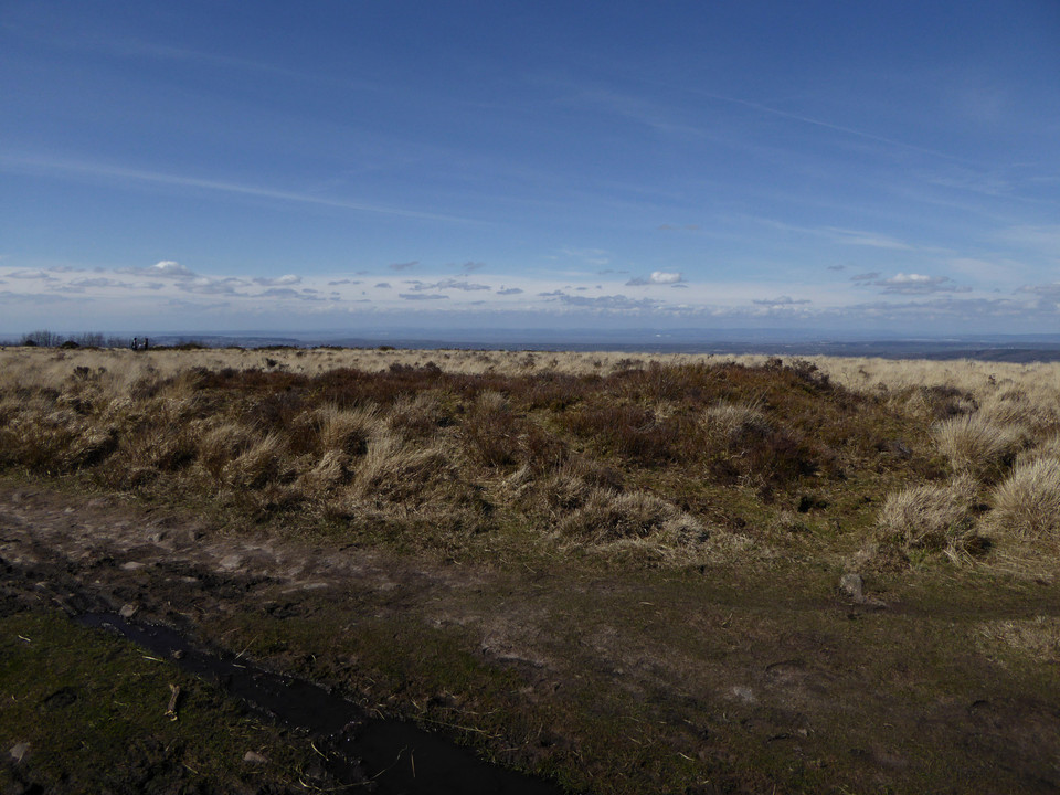
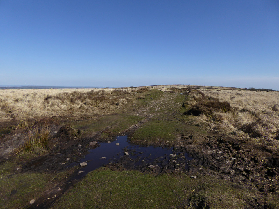
The climb up onto Black Down is not too bad, a good clear path running above West Twin Brook. The excellent views north across the Severn/Bristol Channel give plenty to admire on each pause for breath. At the top of the ridge, the path is very eroded and muddy and I’m grateful that we haven’t had huge amounts of rain recently. The top of Black Down is a sponge that would make for a challenging visit in wet conditions.
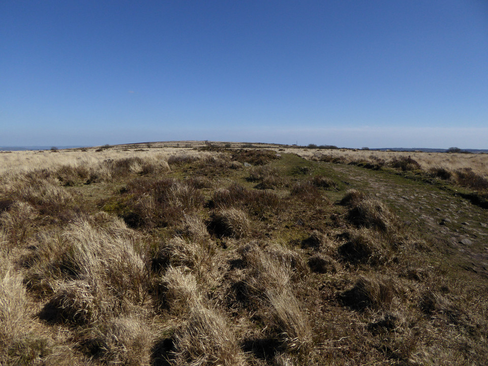
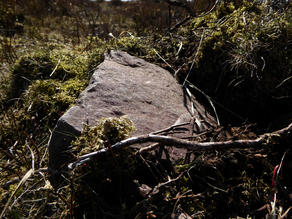
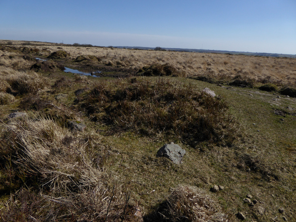
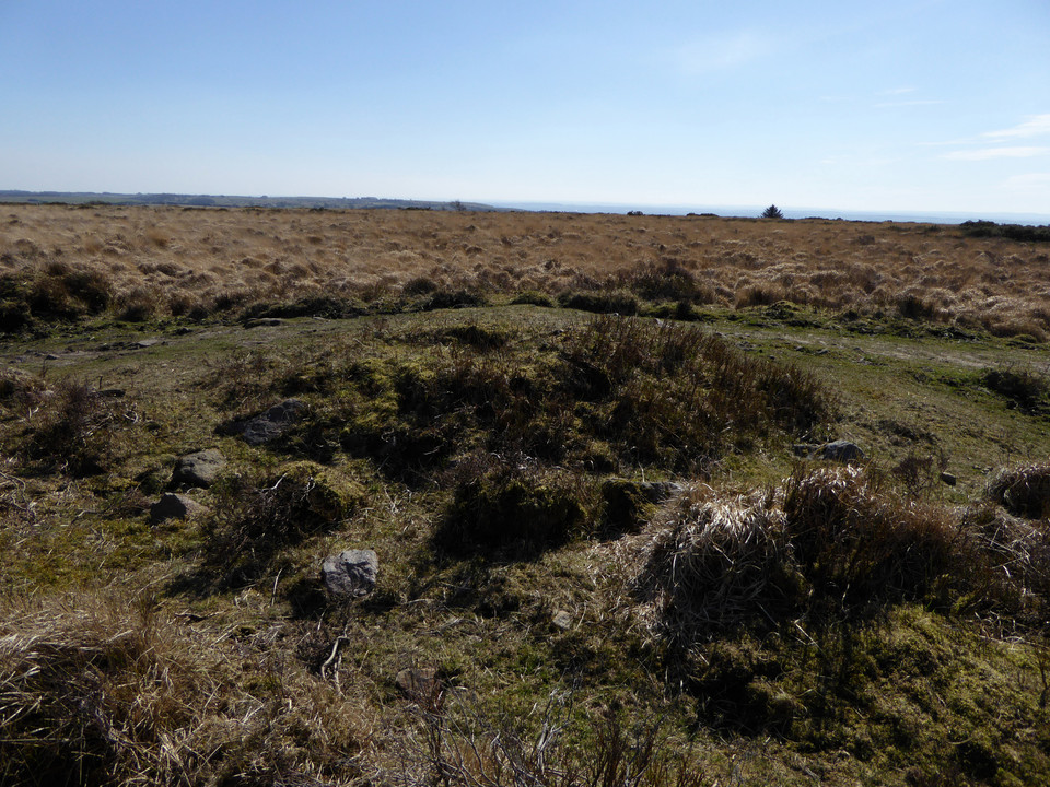
There are plenty of people up here and it’s easy to see why the main path running east-west along the top of the hill is so churned up and eroded. Unfortunately, the same is also true of the pair of barrows immediately beside the path. The northeastern one has been worn down to its stonework and is in a sorry state, crossed directly by the path. The northwestern barrow has fared slightly better than its companion, not being quite so close to the main line of the path. A sparkly slab lies on the edge of the mound, crystals catching the beautiful spring sunshine.
The erosion is a shame as these are excellent barrows, substantial and upstanding, with terrific views. I look down on a now-distant Dolebury Warren and reflect that this walk is probably going to be a bit longer than I thought! Across the Bristol Channel, the hills and mountains of South Wales are still lying under dark clouds and I’m not in the least sorry I decided on the last minute change of plan this morning.
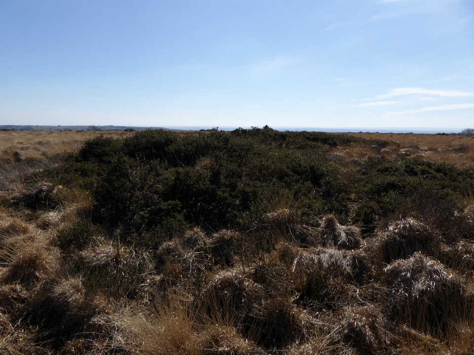
I head south across tussocky and damp ground to the possible third barrow in the group. This one is lower and difficult to discern under dense vegetation. So dense in fact that I startle and flush a deer from the side of the mound, watching it gracefully bound across the treacherously boggy ground.
Two substantial if eroded Bronze Age round barrows and a possible third, at the western end of the summit ridge of Black Down. Details from Somerset HER:
Burrington 8/T177 (ST 47325710)
13m diameter and 1m high under heather. Whole area rather disturbed. There are several small deep holes on the mound where soil has been leeched from between the stones of the cairn. Lies on the N side of a well used ridge path.
A fairly prominent mound with a generally dense cover of heather. The southern edge is crossed by the path and is denuded of vegetation and suffering damage. Very muddy areas may mark the position of the barrow ditch.
Burrington 9/T178 (ST 47355710)
15m diameter and 1.75m high on N side of ridge path. The S edge of the mound is crossed by the path where some stone is exposed. Mound rather uneven with stones protruding, otherwise grass covered with a few heather plants.
A fairly prominent mound with a dense cover of heather except where crossed by the path. This has removed all vegetation and topsoil exposing the stone make-up of the mound. The path has made a significant depression in the top of the mound.
Burrington 9a/T179 (ST 47335707)
The southern mound is not very distinct but is probably a low, heather and gorse covered mound some way S of the path. Stable and undisturbed beneath dense ground cover.


 Posted by thesweetcheat