The Modern Antiquarian
Log in
|
Register
Home
Latest Posts
Forums
Maps
Help
Browse Sites
News
Blog
Contributors
The Books
Select
-
Belgium
Denmark
Eire
France
Germany
Greece
Italy
The Netherlands
Norway
Portugal
Republic of Malta
Spain
Sweden
Switzerland
United Kingdom
England
Southern England
Norfolk
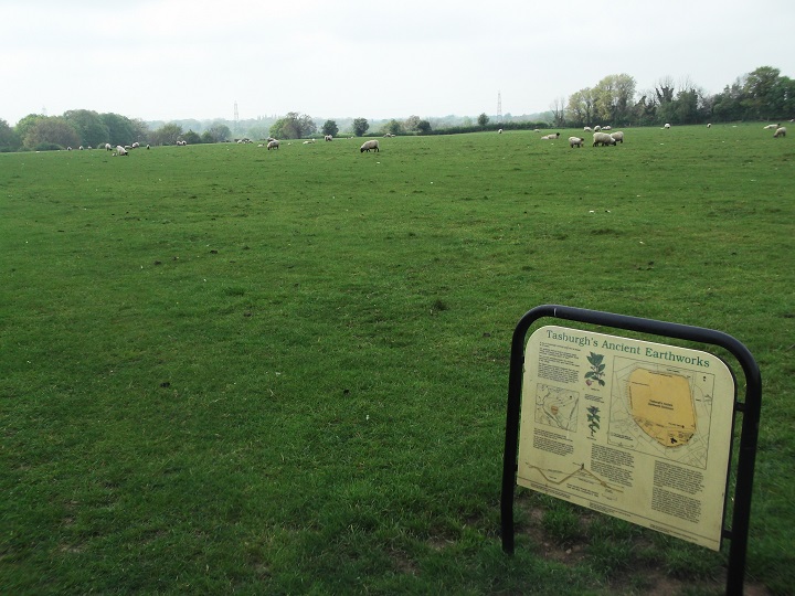
Tasburgh
Ancient Village / Settlement / Misc. Earthwork
Tasburgh (Ancient Village / Settlement / Misc. Earthwork) on The Modern Antiquarian, the UK & Ireland's most popular megalithic community website. 3 images, plus information on many more ancient sites nearby and across the UK & Ireland.
Image © ruskus
Nearest Town:
Wymondham (12km WNW)
OS Ref (GB):
TM2096 /
Sheet: 134
Latitude:
52° 31' 1.07" N
Longitude:
1° 14' 34.36" E
Added by
Rhiannon
Images (3)
0 discussions
Start a topic
Show |
Hide
Web searches for Tasburgh
Flickr
Google
Google Images
MAGIC
The Megalithic Portal
Bing
Stone Pages
Streetmap.co.uk
Wikipedia
Show map
(inline Google Map)
- Sites within 20 km -
-
Markshall Heath (9.94km NNE) (2 posts)
Eaton Heath Barrows (10.08km N) (1 post)
Arminghall Henge (10.75km NNE) (16 posts)
Whitlingham Lane (13.74km NE) (2 posts)
Broome Heath Long Barrow (15.09km E) (11 posts)
Stockton Stone (18.58km E) (15 posts)
- Add -
-
Add news
Add an image
Add fieldnotes
Add folklore
Add miscellaneous
Add a link
-
Add a site
Add a nearby facility
Add an alternative name/spelling
Images
(click to view fullsize)
Add an image
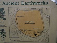 Image © ruskus