The Modern Antiquarian. Stone Circles, Ancient Sites, Neolithic Monuments, Ancient Monuments, Prehistoric Sites, Megalithic MysteriesThe Modern Antiquarian


Arbury Banks

Ancient Village / Settlement / Misc. Earthwork
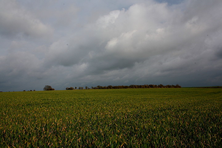
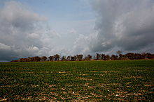
<b>Arbury Banks</b>Posted by GLADMANImage © Robert Gladstone
Nearest Town:Baldock (5km SSW)
OS Ref (GB):   TL262387 / Sheet: 153
Latitude:52° 1' 54.65" N
Longitude:   0° 9' 36.52" W

Added by Rhiannon


Discussion Topics0 discussions
Start a topic


Show map   (inline Google Map)

Images (click to view fullsize)

Add an image Add an image
<b>Arbury Banks</b>Posted by GLADMAN <b>Arbury Banks</b>Posted by GLADMAN <b>Arbury Banks</b>Posted by GLADMAN <b>Arbury Banks</b>Posted by GLADMAN <b>Arbury Banks</b>Posted by GLADMAN <b>Arbury Banks</b>Posted by GLADMAN <b>Arbury Banks</b>Posted by GLADMAN <b>Arbury Banks</b>Posted by GLADMAN <b>Arbury Banks</b>Posted by GLADMAN <b>Arbury Banks</b>Posted by GLADMAN

Miscellaneous

Add miscellaneous Add miscellaneous
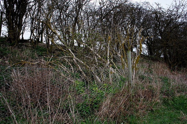
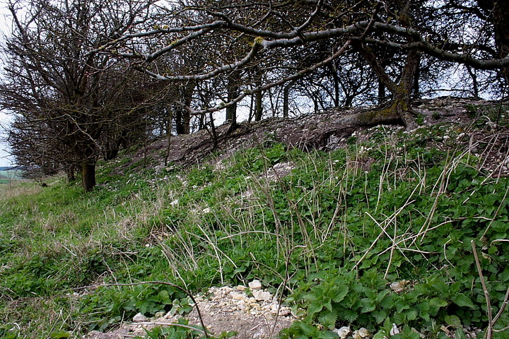
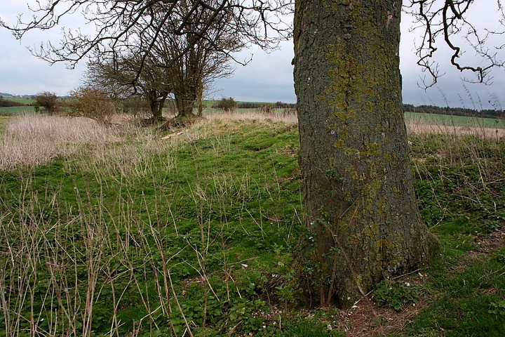
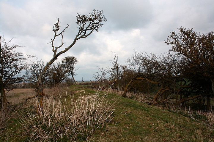
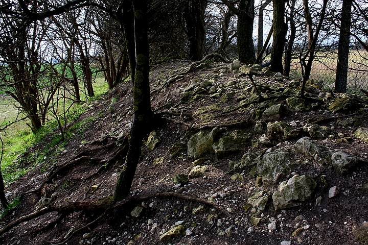
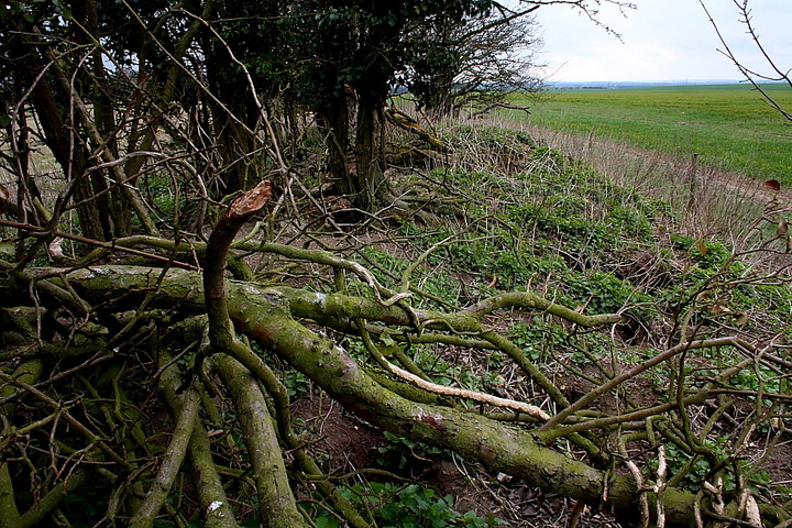
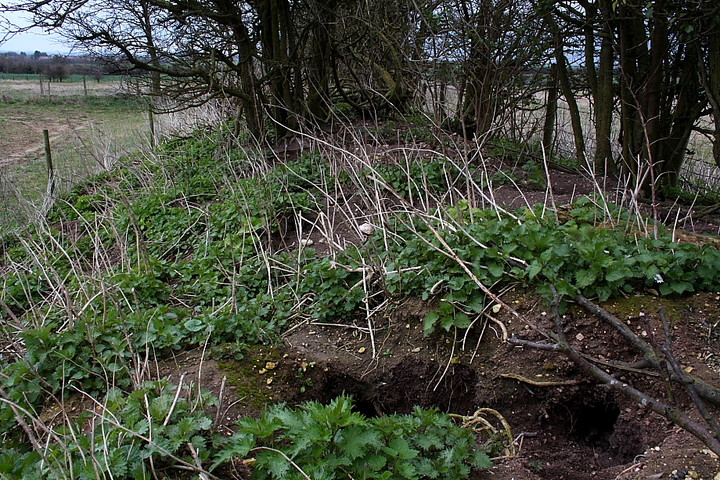
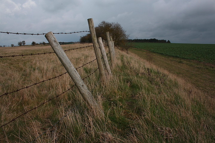
A defended Iron Age farming settlement, probably begun in the late Bronze Age, and a stone's throw from the Icknield Way. Rhiannon Posted by Rhiannon
29th April 2002ce
Edited 4th August 2004ce