The Modern Antiquarian. Stone Circles, Ancient Sites, Neolithic Monuments, Ancient Monuments, Prehistoric Sites, Megalithic MysteriesThe Modern Antiquarian


Aber Camddwr Reconstruction

Platform Cairn

<b>Aber Camddwr Reconstruction</b>Posted by KammerImage © Simon Marshall
Nearest Town:Machynlleth (14km NNW)
OS Ref (GB):   SN7587 / Sheet: 135
Latitude:52° 27' 58.22" N
Longitude:   3° 50' 24.9" W

Added by Kammer


Discussion Topics0 discussions
Start a topic


Show  |  Hide
Web searches for Aber Camddwr Reconstruction
Show map   (inline Google Map)

Images (click to view fullsize)

Add an image Add an image
<b>Aber Camddwr Reconstruction</b>Posted by Kammer <b>Aber Camddwr Reconstruction</b>Posted by Kammer <b>Aber Camddwr Reconstruction</b>Posted by Kammer <b>Aber Camddwr Reconstruction</b>Posted by Kammer

Fieldnotes

Add fieldnotes Add fieldnotes
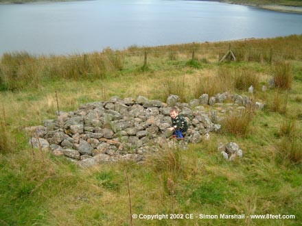
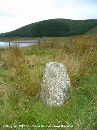
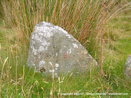
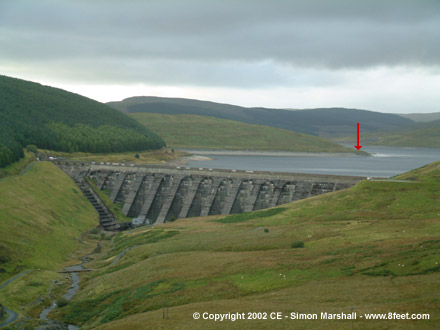
This Bronze Age platform cairn was originally sited further down the valley (SN75108690), and was flooded when the Nant y Moch Reservoir was created in 1961. The cairn was rediscovered in 1984 when the level of the reservoir was low. After excavation it was moved piece by piece to its current location (you can still make out some of the numbers painted on the stones to identify them).

It's usually pretty easy to find the cairn, but in poor weather you might not spot it from the road because its surrounded by reeds. Coming from Ponterwyd you need to cross the Nant y Moch Dam itself, then after the first cattle grid start looking out for the site on your right. There is a stock fence around the cairn (but no gate to stop the sheep or visitors from getting in). There's also a conveniently placed lay-by for parking in.
Kammer Posted by Kammer
8th October 2002ce
Edited 22nd December 2003ce

Links

Add a link Add a link

Multimap: Aber Camddwr


This link will take you to the original location of the cairn before its reconstruction.
Kammer Posted by Kammer
8th October 2002ce