Found it! The 1:7500 print I took from MAGIC helped! Basically, go up the path by the side of the house, and continue until you get to another gate. Go through this gate. On the right is a smallish enclosed field. The hut circles (as far as I could see) are in the next field beyond this. Stay on the path.
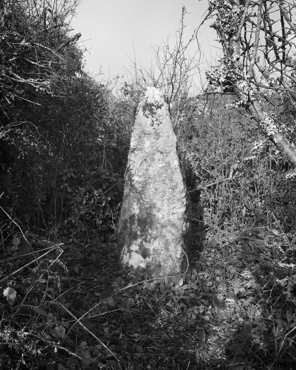
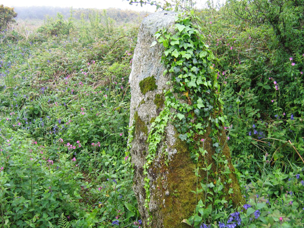
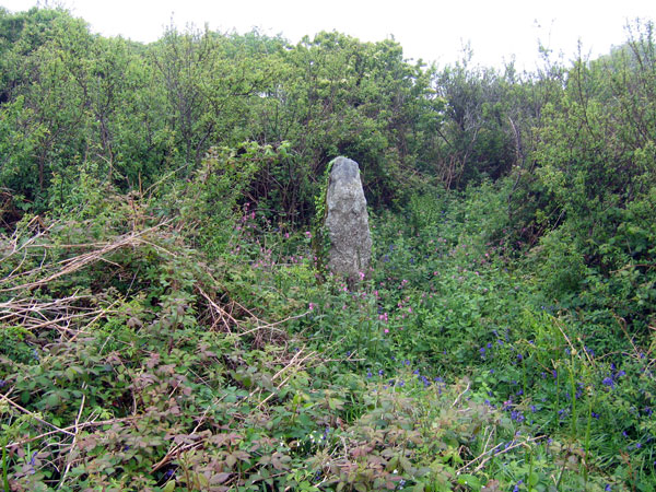
The hedge on the right eventually opens up to an area of bracken and gorse. There was a trodden path through this that I followed, that led directkly to a large upright stone, hidden in the far hedge.
Take care, as the disused quarry starts in the adjoining 'field', and may be the various stones that purejoy found.
SW4474/2537 (8 digit reference taken from Ian McNeil Cooke's book)
I couldn't find this despite being in the right area. As you come into the hamlet of Castallack you can just about park just before the road turns sharply to the right. The bridleway up to Castallack Carn is poorly marked. I got the feeling that house next to it wants to 'own' it (or disown it!). Look for the modern wooden gate. This is the rather posh entrance to the bridleway (as if you're going into someone's back garden or driveway). I didn't have the grid reference at the time and was merely following the map. It was hard to see exactly where it would be on the map and thus it was hard to know exact where to look. I looked in the fields I could, which was not always easy as the bridleway is often sandwiched between 2 fields with trees and brambles on each side. Once at the top there were many huge quartzy stones in some serious gorse and bracken but nothing to suggest it was a (the) menhir.
In Ian McNeil Cooke's 'Standing Stones of the Land's End' (1998 - Men-an-Tol Studio) he says that it's 1.8m tall and "stands in an overgrown area close to the footpath West of the Iron Age round".
With the exact grid ref and the dusk not falling so fast, maybe someone can find it (or me next time I'm down that way!).

 Posted by pure joy