|
|

|
|
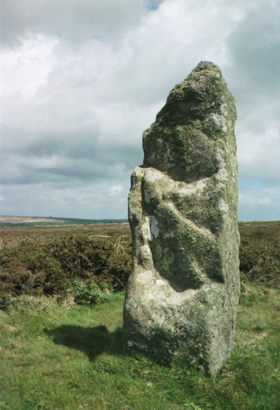
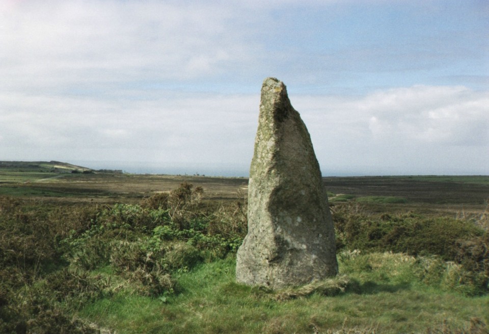
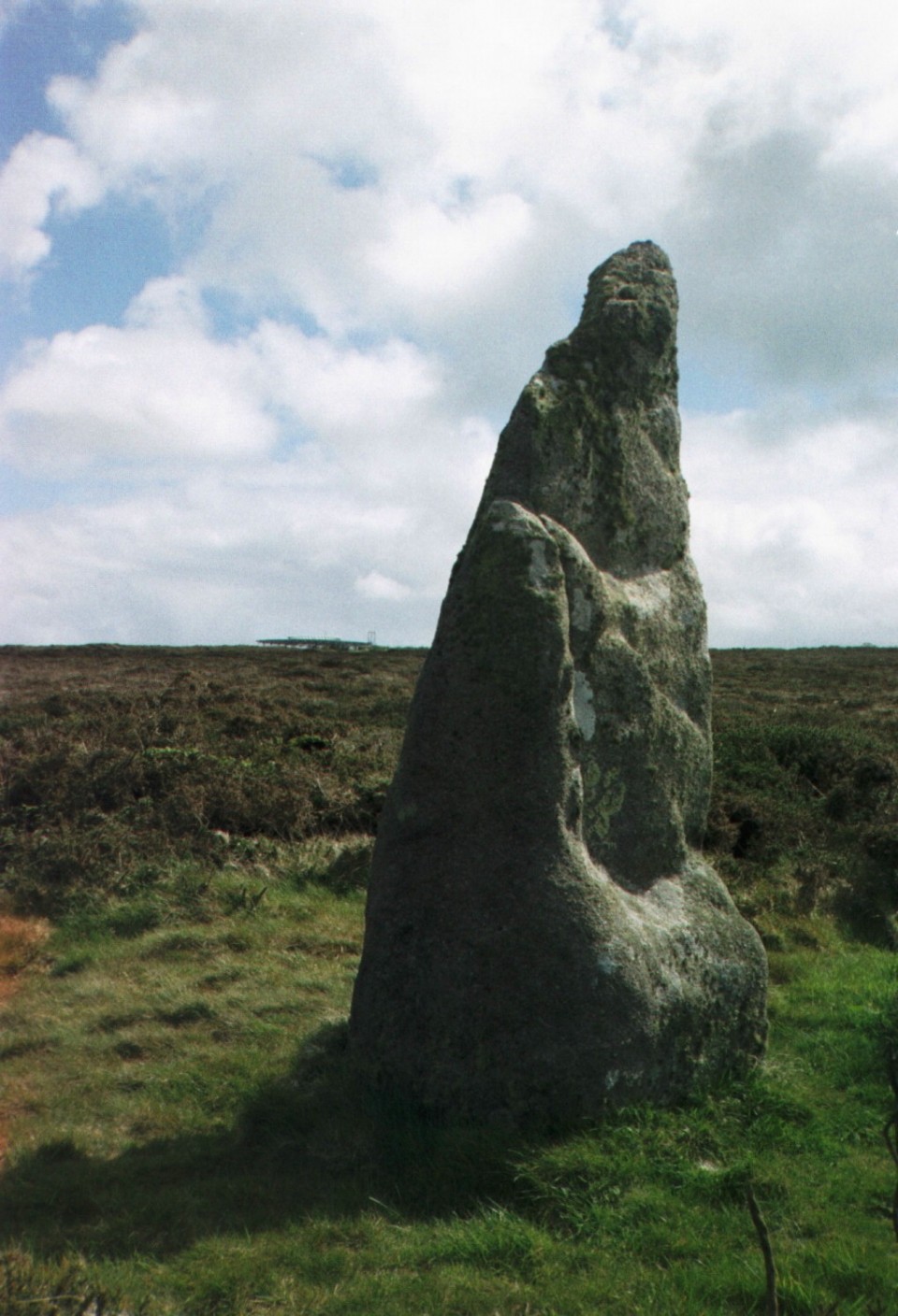
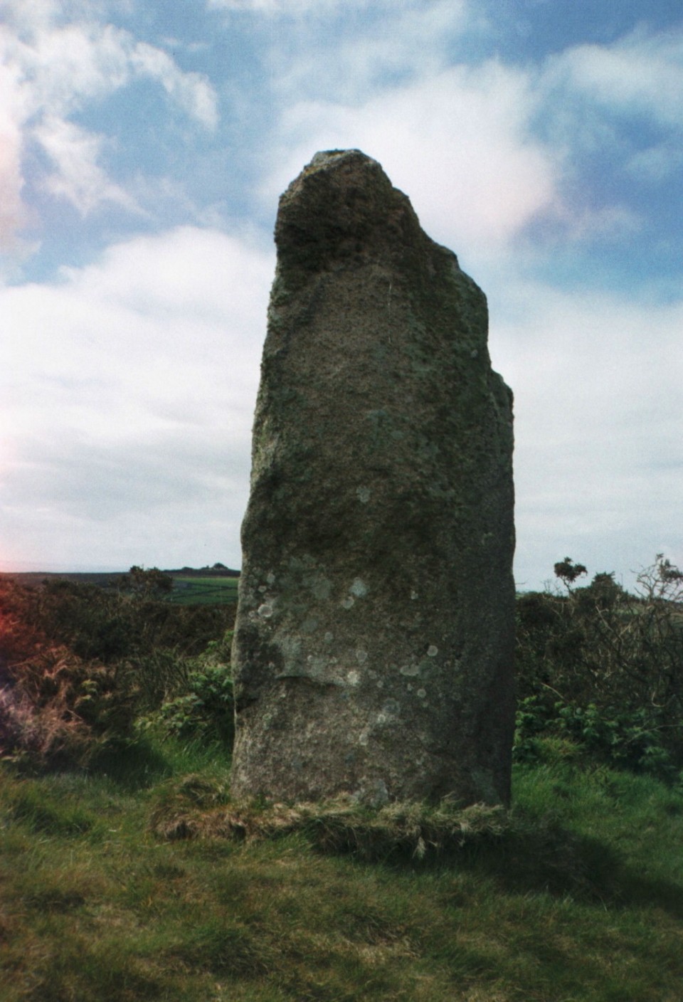
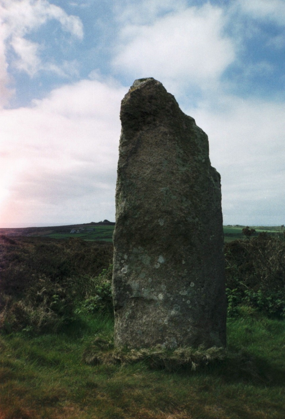
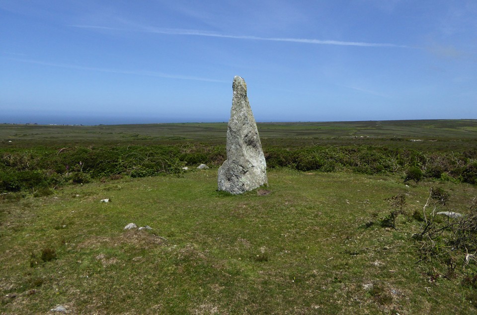
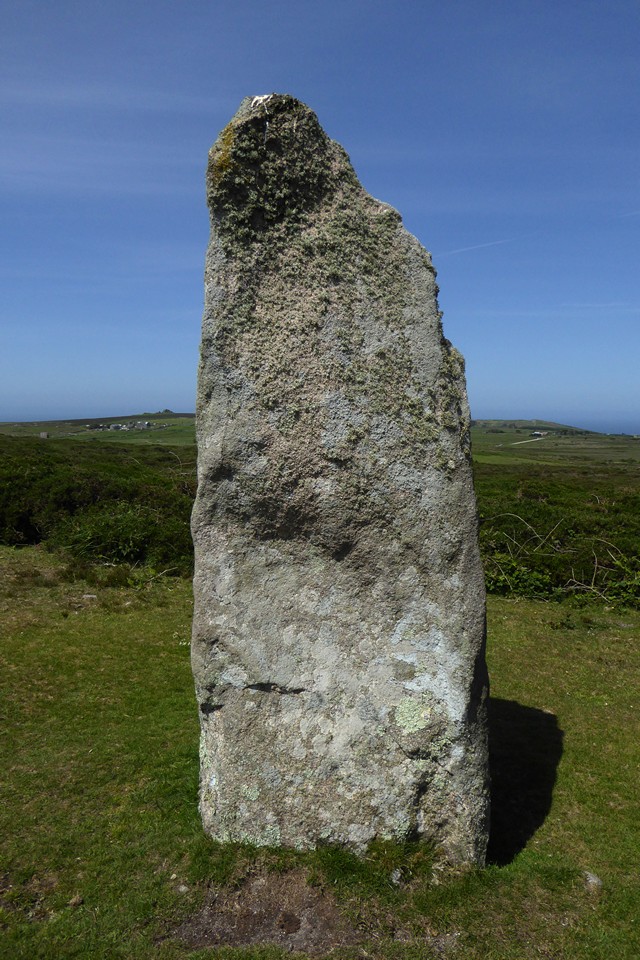
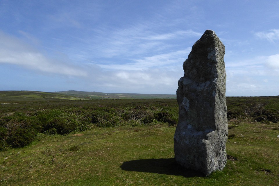
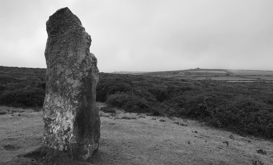
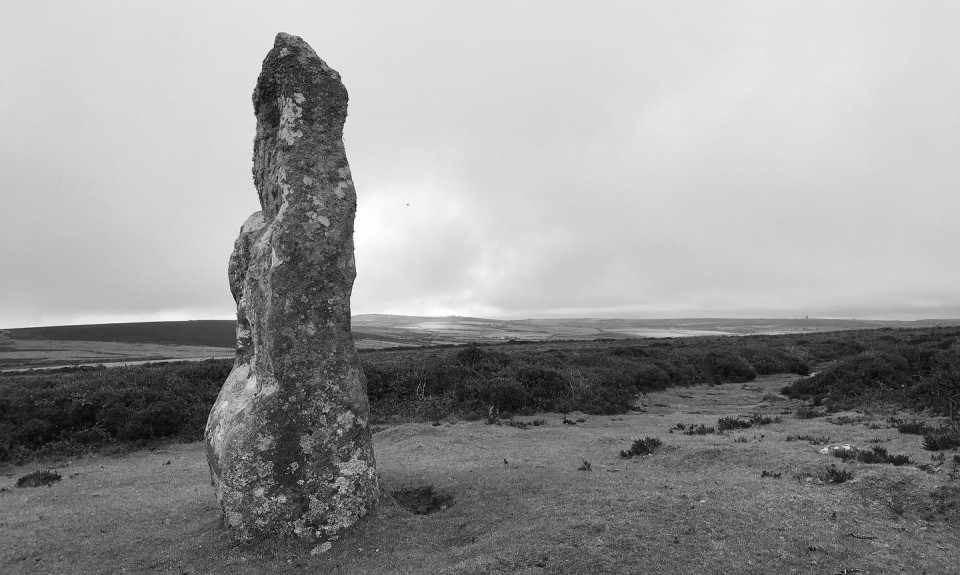
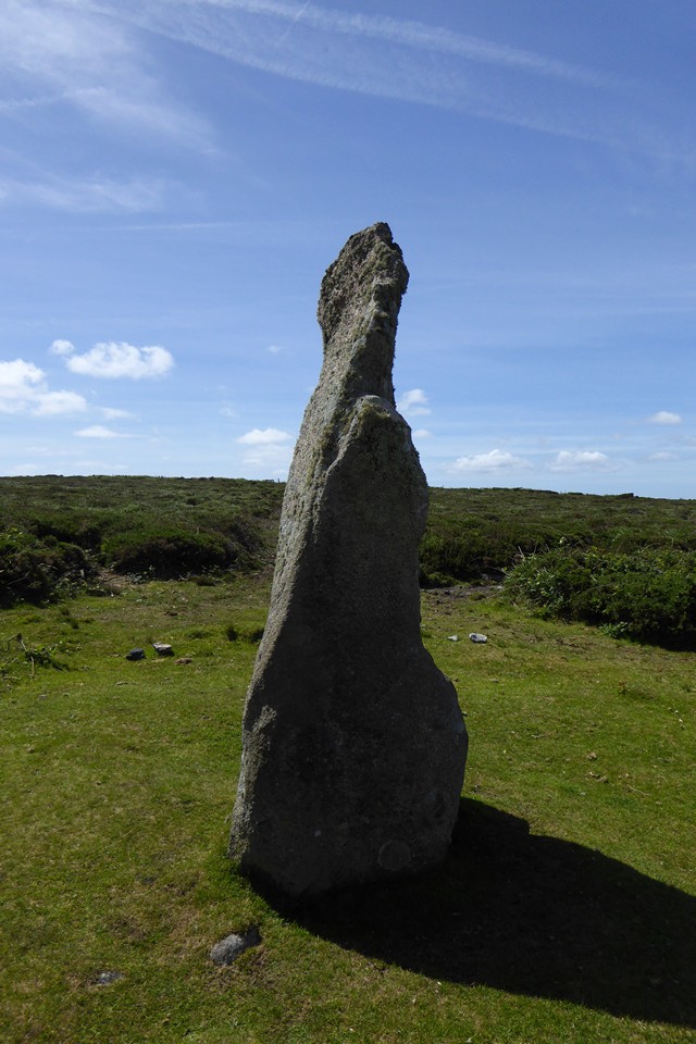
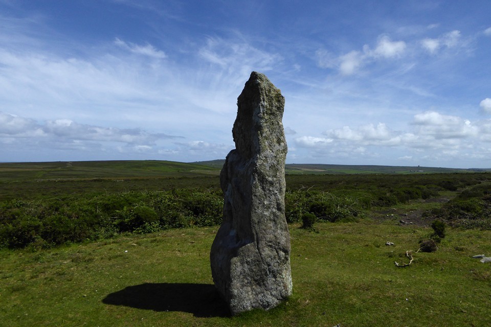
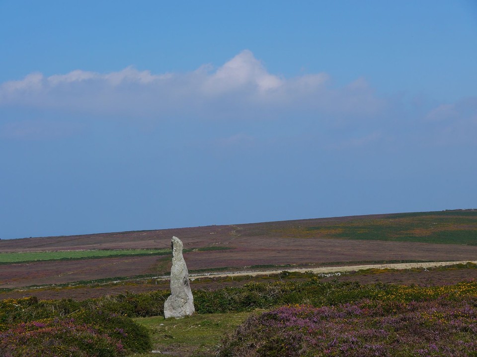
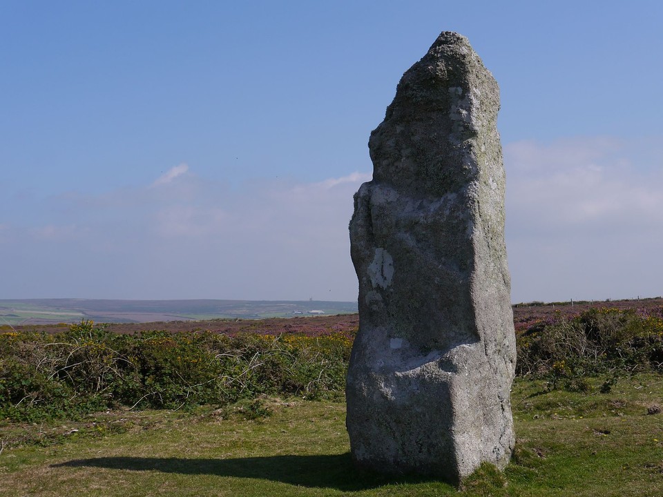
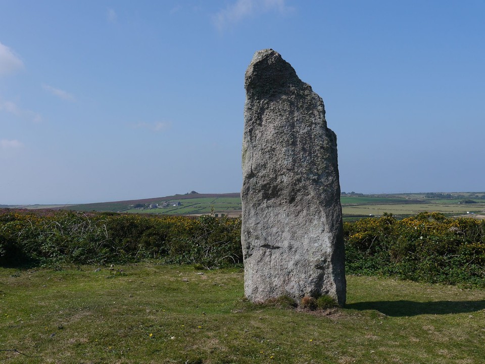
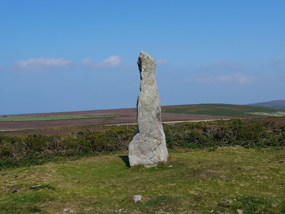
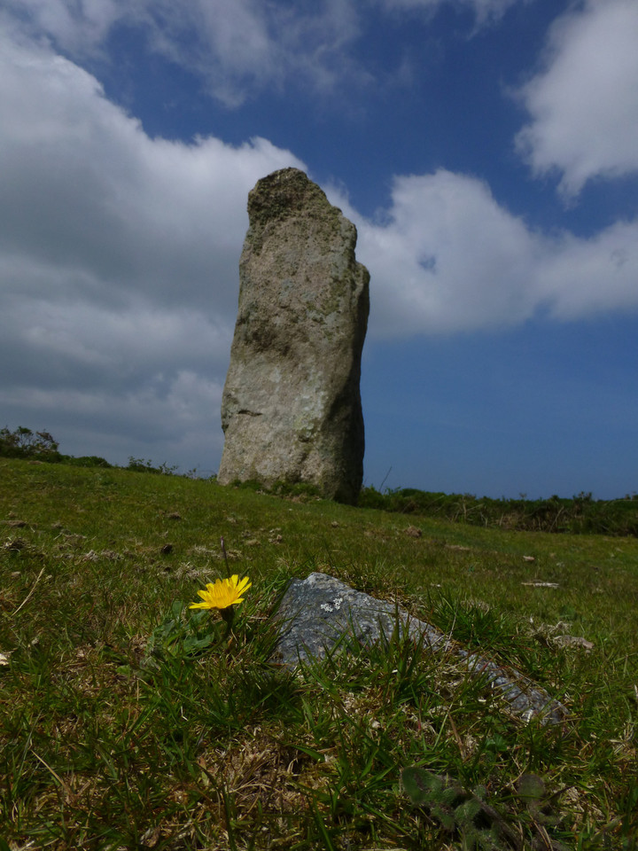
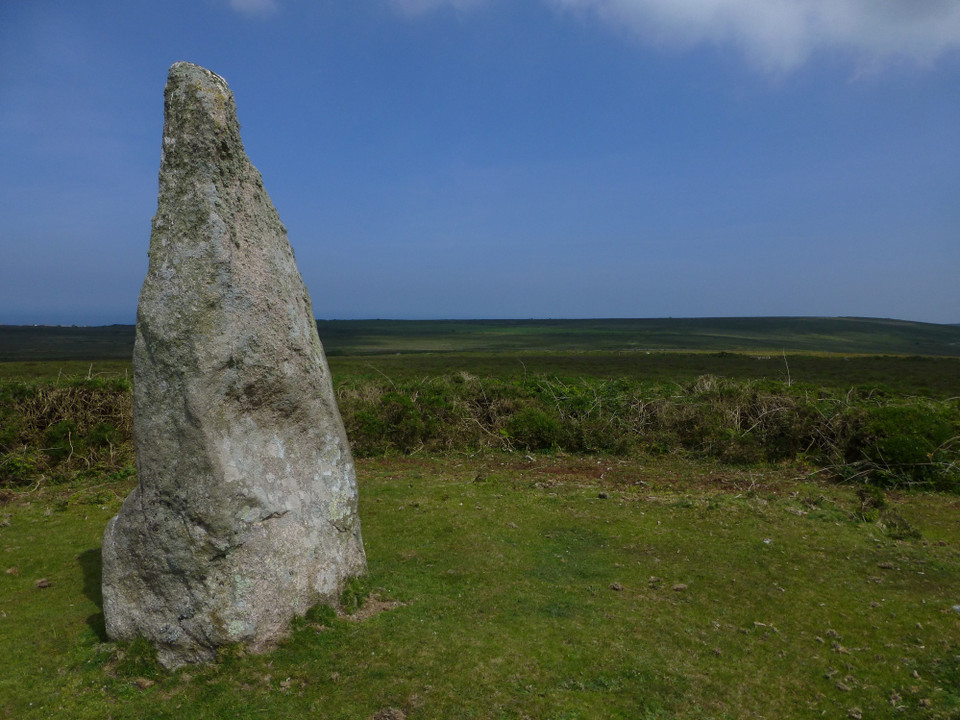
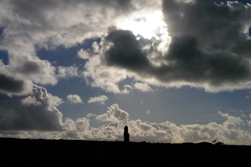
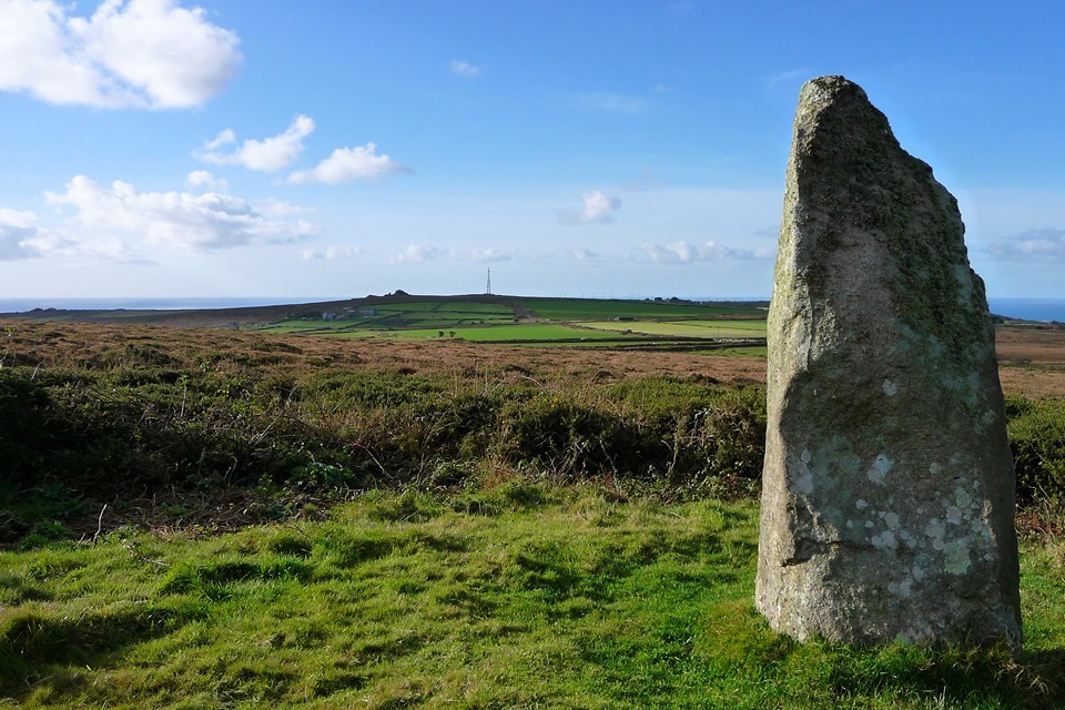
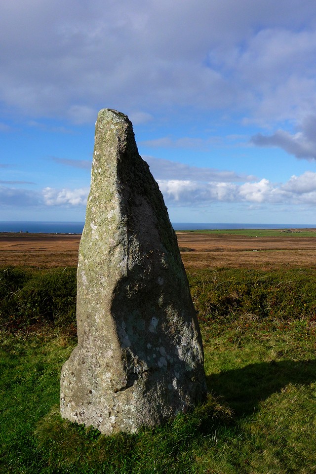
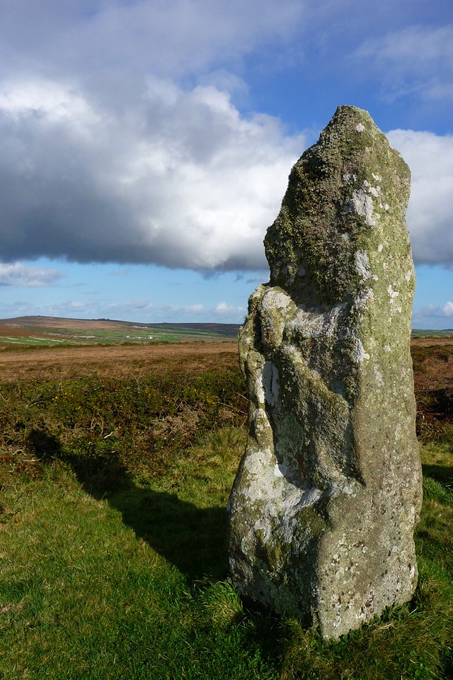
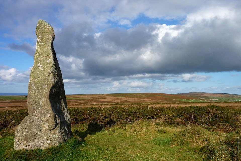
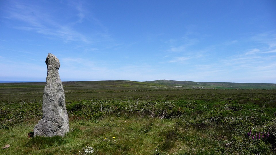
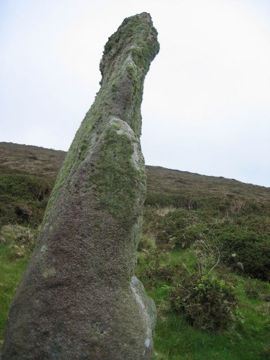
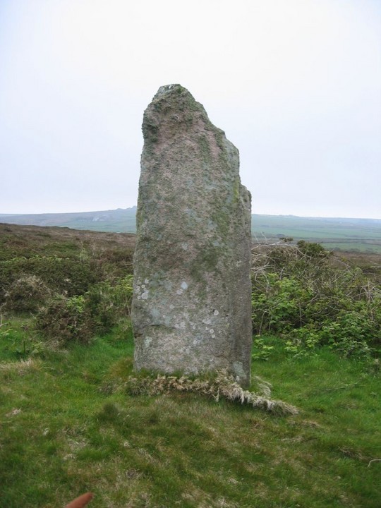
Boswens CroftStanding Stone / Menhir
|
||||||||||||||||||||||||
|
|
|
Images (click to view fullsize) |
|
Photographs: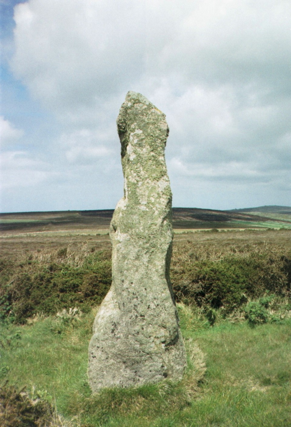


 Artistic / Interpretive:
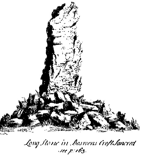
|
Fieldnotes |
|
|
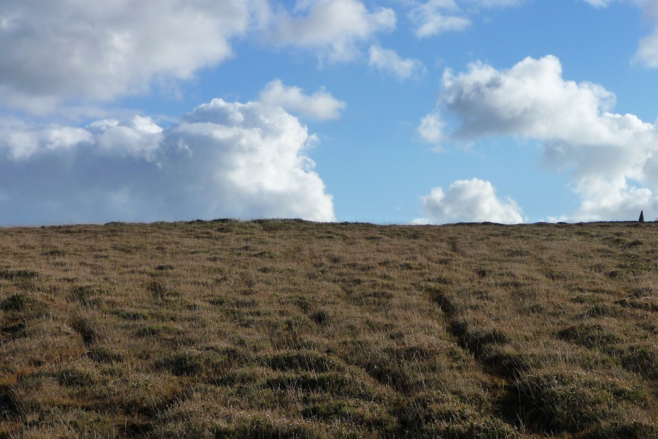
OK, I've tried a couple of times to get here - each time giving up within 100 yards or so of the prize. My first attempt was along the defined path toward the radio station. Sadly, this got me close, but the barbed wire fencing and waist high gorse combined to thwart me. Today I tried a different approach. Following the track east from the road, then heading south along what, according to the MAGIC map, is a pathway leading very close to the stone. Unfortunately, the same barbed wire fence continues rght round the area, and the path no longer exists. I did pop over a gate and got into the field though, and the pathway 'sort of' exists, but within a couple of hundred yards of the stone is gobbled up by the encroaching gorse, and as the horseflies were having a good feed on my arm and not wishing to encounter any adders in the gorse, I backed off again. Back at the car, a local lady was talking to Mikki, explaining that the farmers received a lot of money to fence off the area (despite it being Right to Roam land!), and this had detered the horseriders. Subsequently, the path had become unused and is gradually disappearing. I may well raise this issue with CASPN when I see them tomorrow. |
15th July 2006ce Edited 15th July 2006ce |
Miscellaneous |
|
|
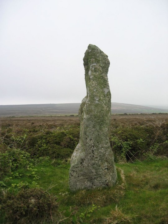
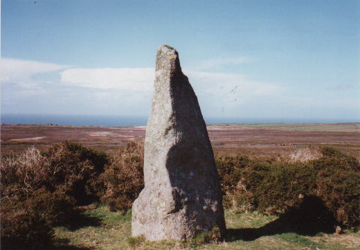
Details of site on Pastscape A low flat-topped mound has been interpreted as the remains of a barrow. A stone measuring 0.7 by 0.9 by 2.4 metres high standing on it is thought to be a standing stone. [SW 40023290] Long Stone [NR] (1) Long stone at Boswens Croft, 9 feet in height. (2) Sancreed, Longstone west of Boswens Common - Scheduled Ancient Monument. (3) This stone stands on a barrow. (4) The stone is of rectangular section measuring 0.7m x 0.9m. and is 2.4m. high. It is set in a low, flat-topped, mound of stone and earth, 0.3m. high, which represents the remains of a barrow. No retaining stones are identifiable around the perimeter. Ground photograph: see AO/61/35/5 from NW. (5) No change from report of 6 1 61. (6) -------------------------------------------------------------------------------- SOURCE TEXT -------------------------------------------------------------------------------- ( 1) Ordnance Survey Map (Scale / Date) 6" 1908. ( 2) General reference Ancient Crosses of West Cornwall 1858 (J.T. Blight) Page(s)171 ( 3) General reference List Anc.Mon. in Eng. & Wales 1958, p.20. (M.O.W.) ( 4a) Oral information, correspondence (not archived) or staff comments ( 4) Field Investigators Comments F1 EG 16-DEC-60 ( 5) Field Investigators Comments F2 NVQ 06-JAN-61 ( 6) Field Investigators Comments F3 MJF 09-MAY-75 |
 Posted by Chance
10th July 2012ce |