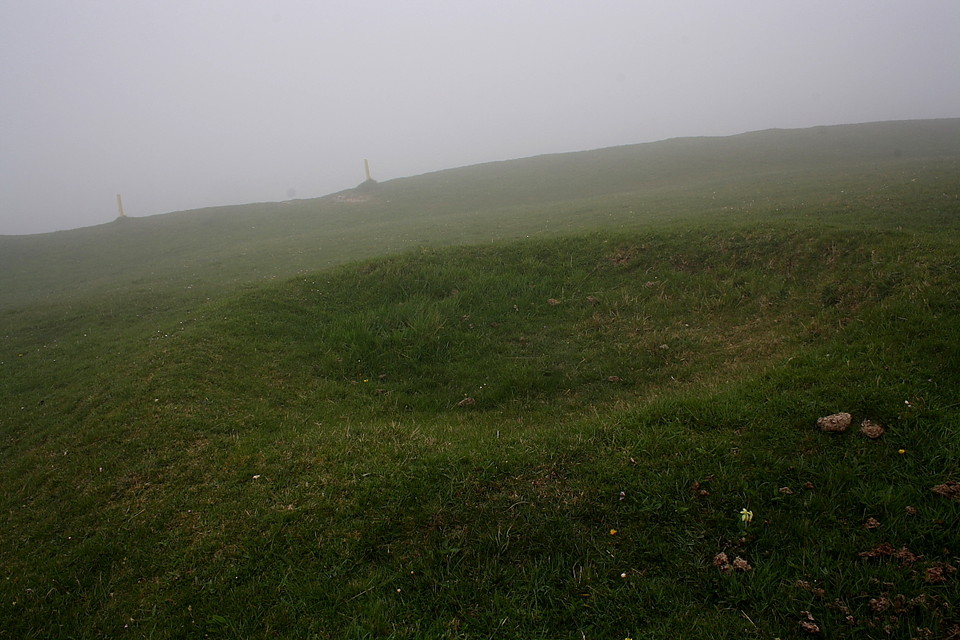
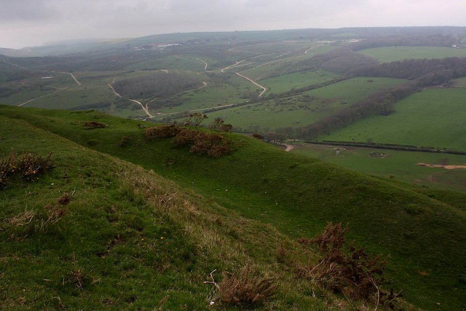
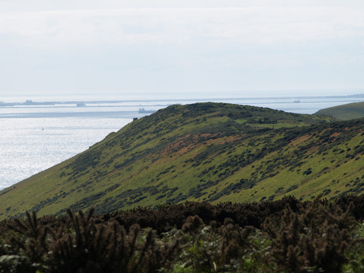
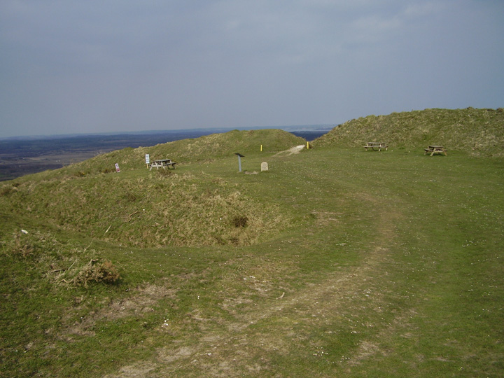
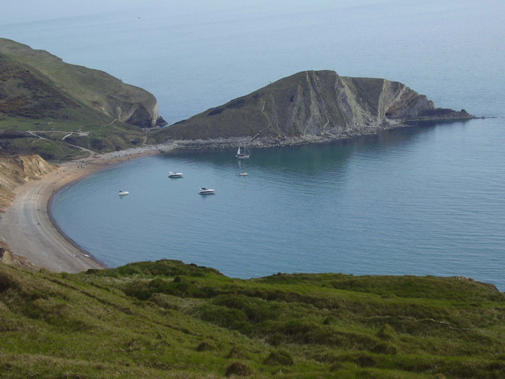
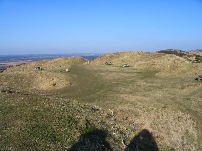
This being "easter" weekend the range walks are open , so I took the trek up to the hillfort. Having only ever seen it from a distance it is surprisingly big up close. Today I can definitely see Woolsbarrow and Woodbury hillforts to the north. There is a nice set of three round barrows , known as the Water barrows locally , in the field below. Also another set known as the Ferny barrows can be seen at a lower level, I couldn't easily stop to take a picture of them, but they are worth a look.
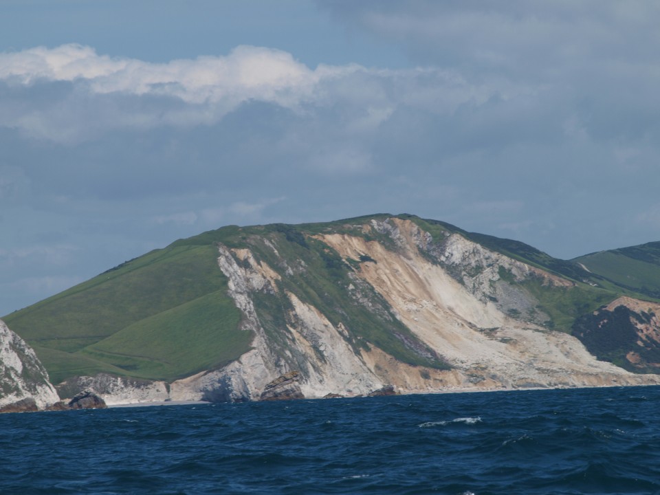
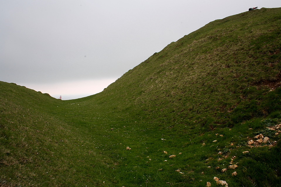
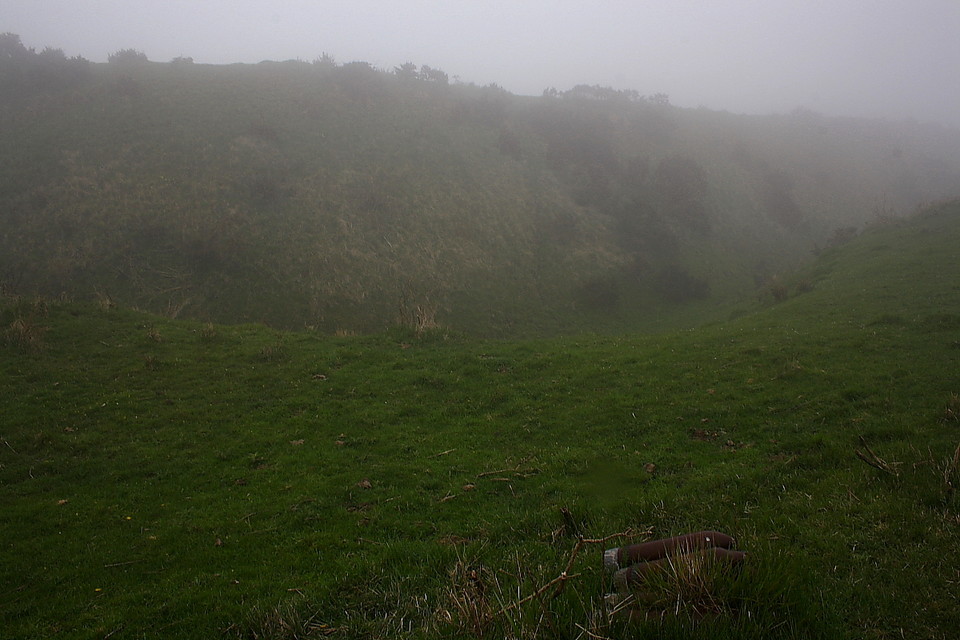
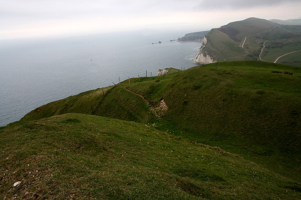
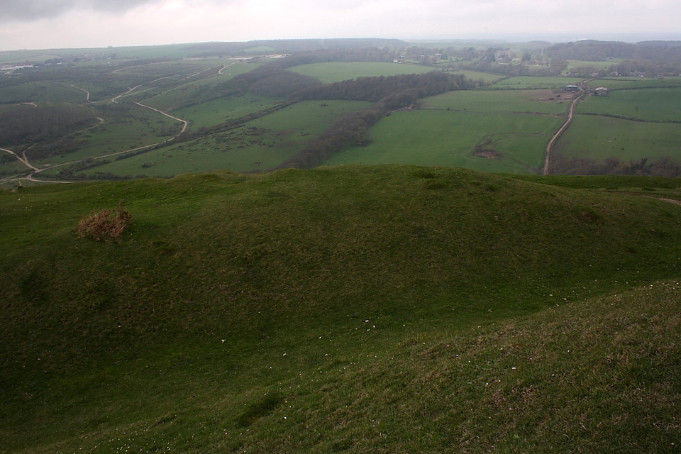
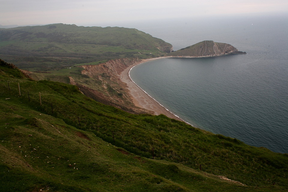
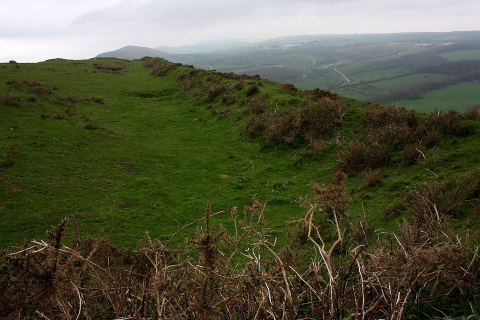
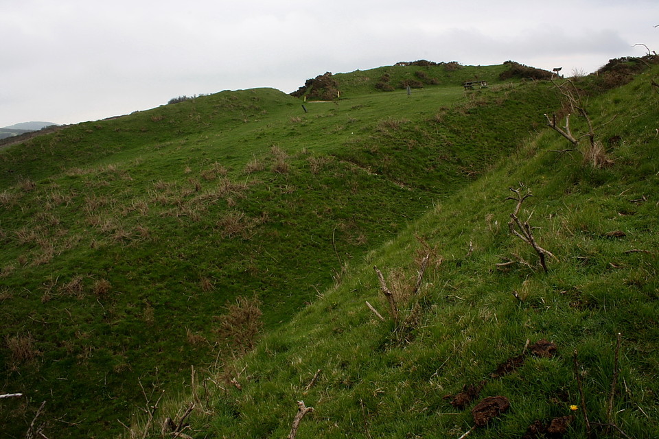
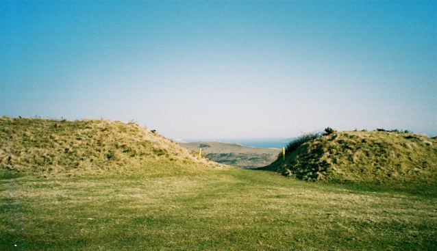
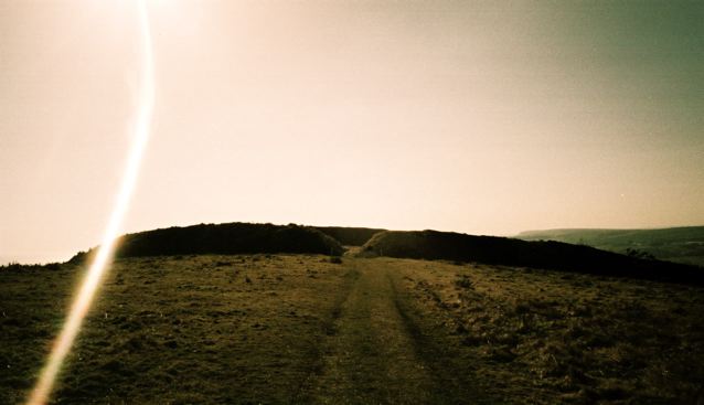
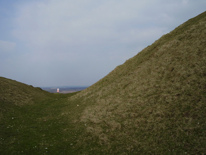
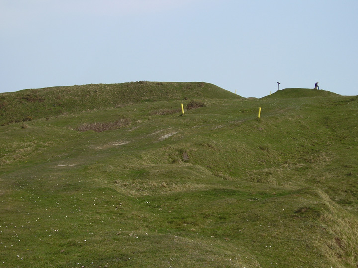
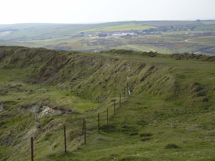
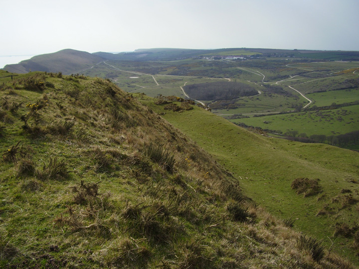
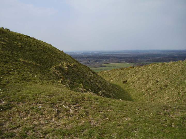
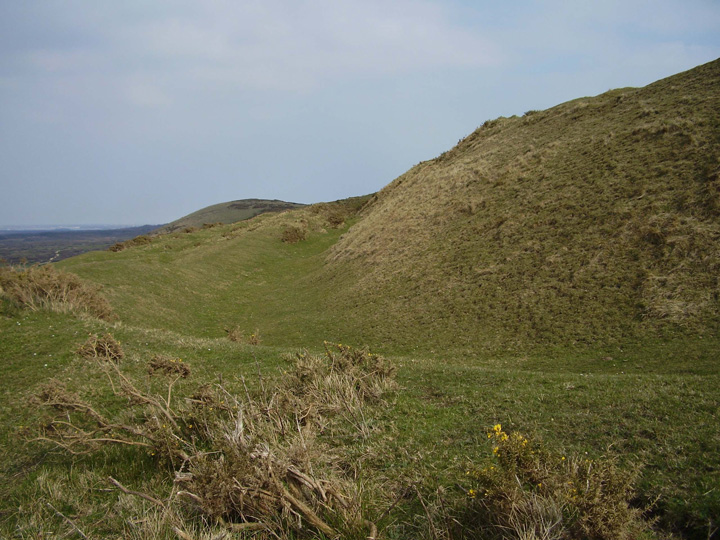
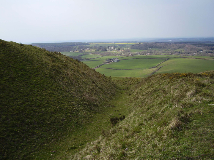
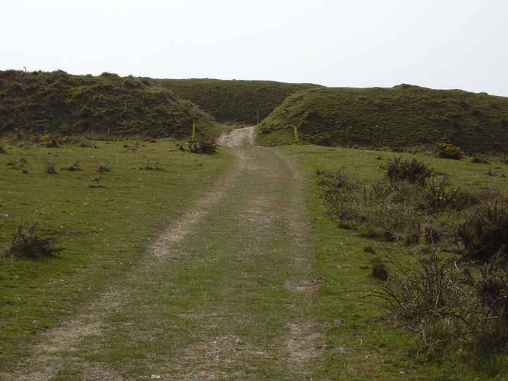
Both ends of this hillfort have three sets of ditches and banks which appear to mask the entrances as they appear now, although it's difficult to know where the originals were. There is a lot of space between the outer and inner end banks , more so than many comparably sized Durotrigian hillforts in Dorset .The landslip which took the southern set of ditches and banks into the sea, appears to be slowly carrying on , the ground looks very unstable in places.
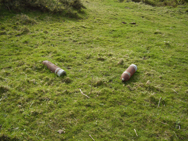
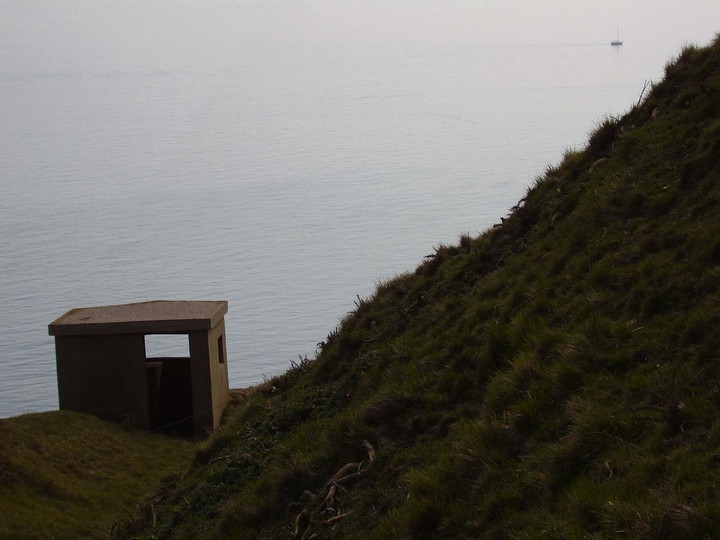
The long military use of this place doesn't seem to have done it any lasting harm, it was taken from private ownership in 1943 c.e. with the promise that it would be given back, along with the two villages of Tyneham and Worbarrow which have been blown to smithreens in the intervening 60 odd years.The m.o.d. notice boards erroneously call this site a "roman" fort, the only post iron age structure on this site is a W.W.2 pill box on the cliff edge.
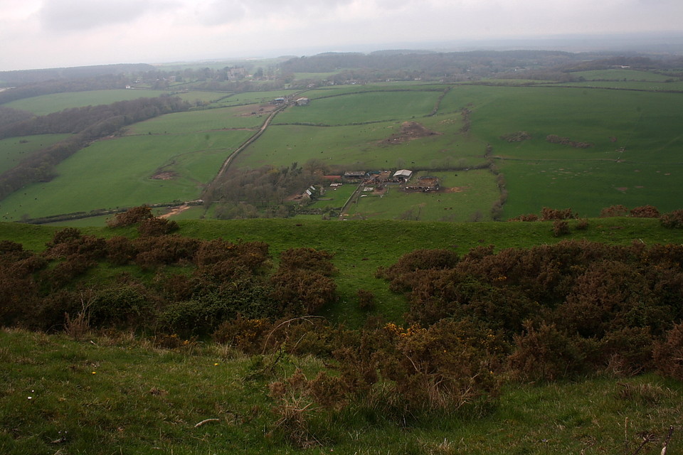
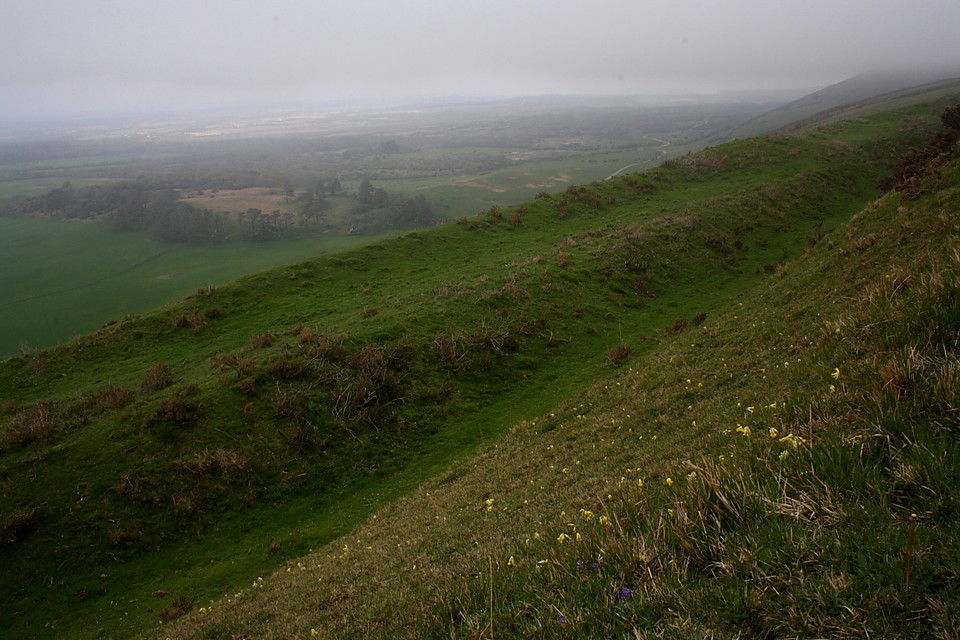
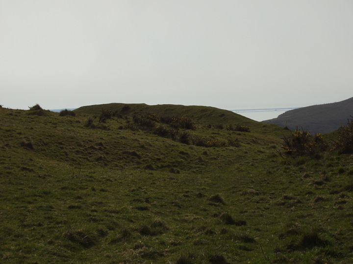
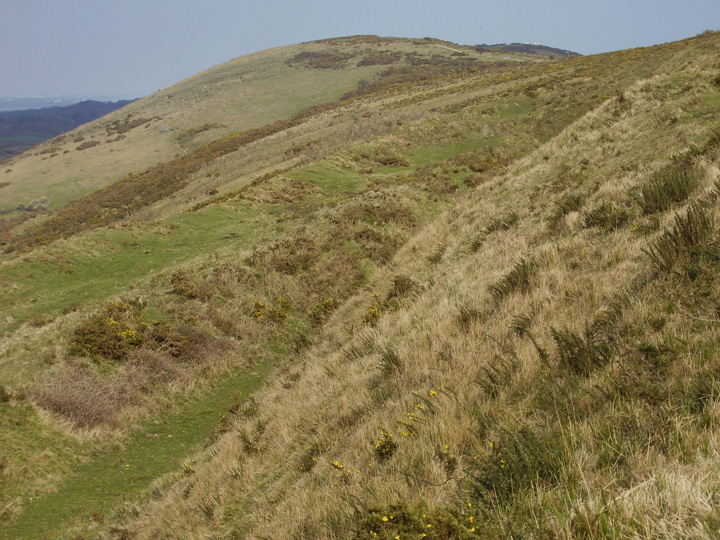
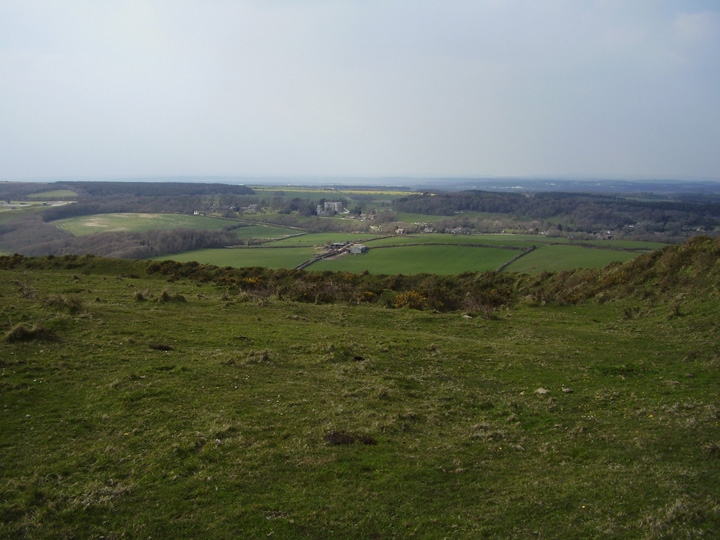
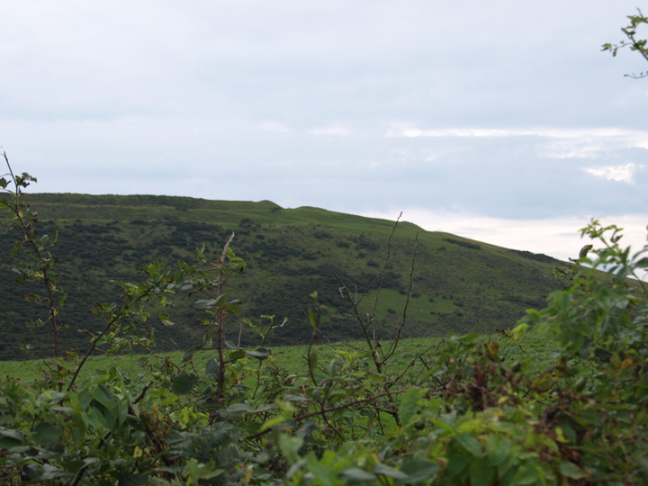
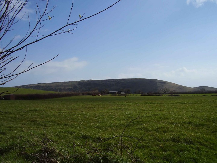
A long stretched oval multivallate Durotrigian hillfort , or rather half of one as the cliffside part of this fort has long since slid into the sea. It cannot always be walked upon as it is within the bounds of an M.O.D.firing range, it can be got quite close to along the coast path, when it is open. This would have been one of the most spectacular places to be in Dorset when it was in use , the isles of Portland to the west and Purbeck to the east are clearly visible , the view inland is uninterrupted for many miles. Bindon hill is to the west about a mile away and there are many barrows nearby.
On the hill to the south of this mansion [Creech Grange], a.. Phenomenon is recorded to have been observed.. This was the visionary semblance of a vast number of armed men, apparently several thousands, who appeared to be marching from Flower's Barrow, over Grange Hill: at the same time a great noise, and clashing of arms, was supposed to be heard.
These appearances were observed on an evening in December, 1678, by Captain John Laurence, then owner of Grange, his brother, and "by all the people in the cottages and hamlets thereabouts, who left their supper and houses, and came to Wareham, and alarmed the town; on which the boats were all drawn to the north side of the river, and the bridge barricadoed [sic]. Three hundred of the militia were also marched to Wareham; and Captain Laurence and his brother went post to London, and deposed the particulars on oath before the Council.*
*Hutchin's Dorset, Vol1 p327, ad Edit.
"I have in my possesion," continues our author, "an original letter, written by Mr. Thomas Dolman, I suppose then clerk of the Council, dated December 14, 1678, directed to George Fulford, and Robert Cotton, Esqrs. Officers of the Militia, wherein he tells them, Mr. Secretary Coventry had communicated their letter of the 10th instant, touching the number of armed men, pretended to be seen in Purbeck, to the Lords of the Council, who commanded him to let them know, that they took in good part their care of putting themselves in a posture of defence; and that the contrivers and spreaders of this false news were ordered to be sent for, to be dealt with according to their deserts; and had not Captain Laurence and his family been of known affection to the Government, he would have been severely punished.
This phenomenon seems to have been owing to the thick fogs and mists that often hang on the hills in Purbeck, and form grotesque appearances of craggy rocks, and ruins of buildings. At this time the evening sun might glance on these, which, assisted and improved by a strong imagination, caused the spectators to fancy what never existed."
Yeah but why would local people used to these fogs interpret them as soldiers? You'll have to do better than that to convince me. From p401 of The Beauties of England and Wales, Or, Delineations, Topographical, Historical, and Descriptive of each County. Vol 4. John Britton and Edward Wedlake Brayley, 1803. Online at Google Books.
The area is said to be haunted by phantom Roman soldiers seen several times over the years. Traditionally they are said to appear at times of national crisis. They have also been seen at Bindon Hill and Knowle hill.
Sorry about the wrong information about access in my fieldnotes , it appears you can walk on this site when the range walk is open but do check first as 120 mm tank rounds could easily spoil your day out.
Since Flower's Barrow is located upon a live Army firing range access is restricted.... for obvious reasons. In order to prevent a wasted journey I'd therefore advise checking this link before attempting a visit. As Mike notes, bunking into this one is NOT an option unless you have a severe death wish.

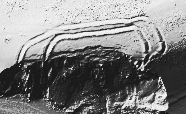

 Maps / Plans / Diagrams:
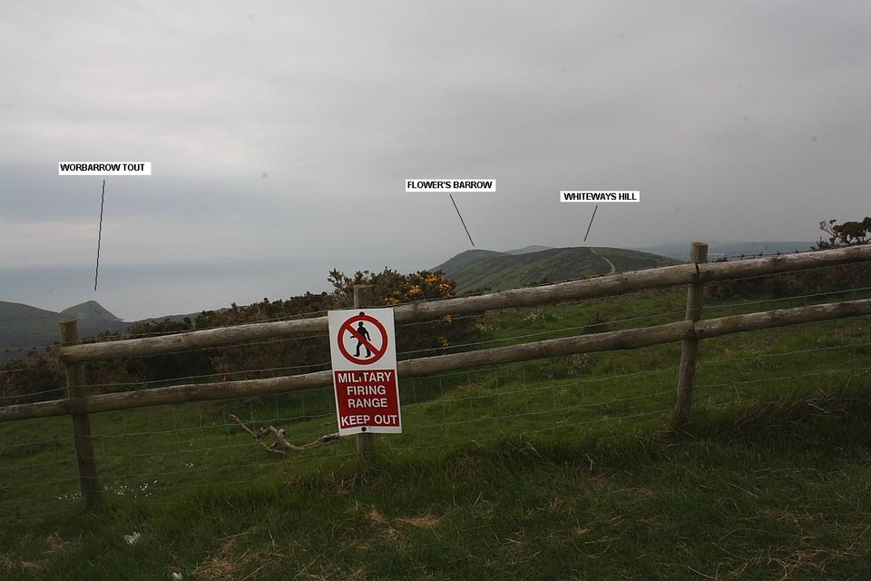
 Posted by formicaant
 Posted by Rhiannon
 Posted by GLADMAN
 Posted by pure joy