The Modern Antiquarian. Stone Circles, Ancient Sites, Neolithic Monuments, Ancient Monuments, Prehistoric Sites, Megalithic MysteriesThe Modern Antiquarian


Lankidden

Cliff Fort

<b>Lankidden</b>Posted by s_dukesyImage © s_dukesy
Also known as:
  • Carrick Luz

Nearest Town:Mullion (7km W)
OS Ref (GB):   SW755166 / Sheet: 204
Latitude:50° 0' 23.54" N
Longitude:   5° 8' 0.74" W

Added by pure joy


Discussion Topics0 discussions
Start a topic


Show map   (inline Google Map)

Images (click to view fullsize)

Add an image Add an image
<b>Lankidden</b>Posted by thesweetcheat <b>Lankidden</b>Posted by thesweetcheat <b>Lankidden</b>Posted by thesweetcheat <b>Lankidden</b>Posted by thesweetcheat <b>Lankidden</b>Posted by thesweetcheat <b>Lankidden</b>Posted by thesweetcheat <b>Lankidden</b>Posted by thesweetcheat <b>Lankidden</b>Posted by thesweetcheat <b>Lankidden</b>Posted by thesweetcheat <b>Lankidden</b>Posted by s_dukesy <b>Lankidden</b>Posted by s_dukesy

Miscellaneous

Add miscellaneous Add miscellaneous
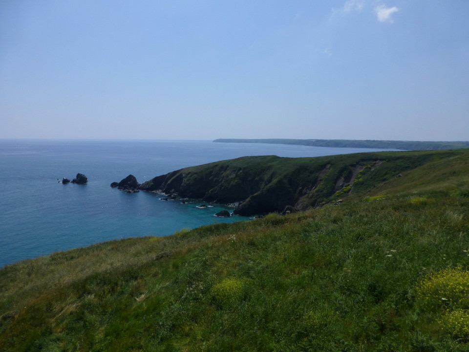
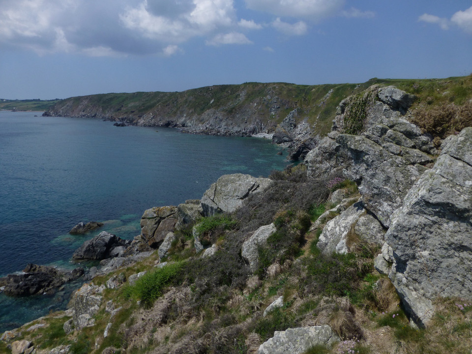
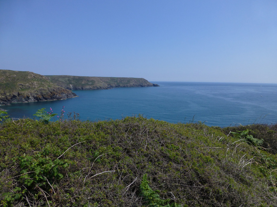
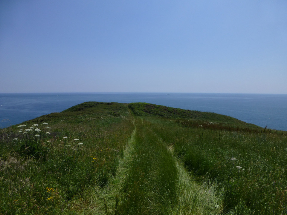
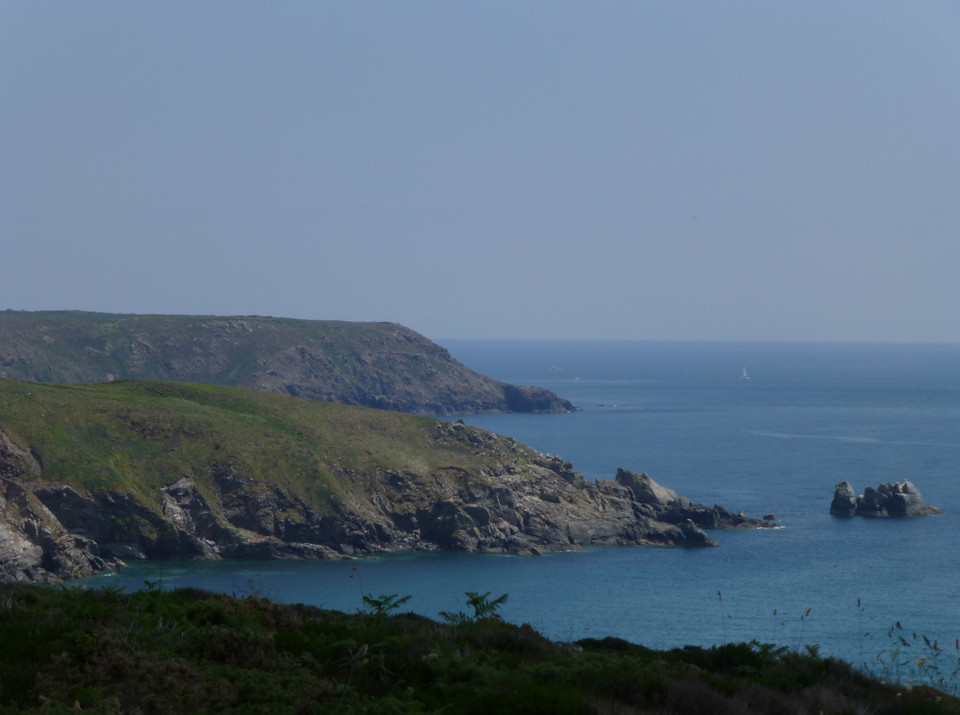
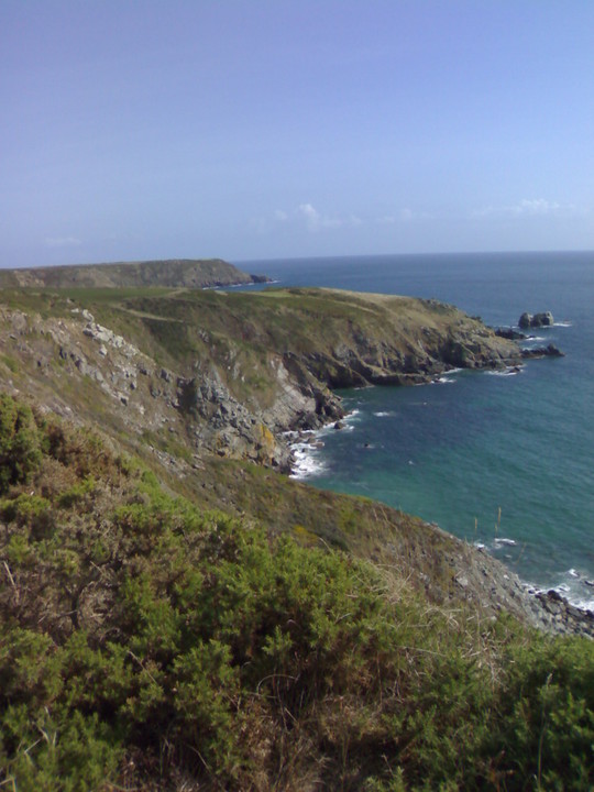
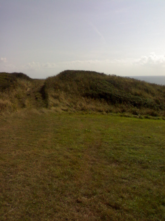
Mentioned by Craig Weatherhill, in “Cornovia: Ancient Sites of Cornwall & Scilly” (Cornwall Books - 1985, revised 1997 & 2000) – “The Iron Age defensive work on this headland consists of a single massive rampart 4.0m high, with a simple entrance set east of centre. The outer ditch is somewhat silted up and now reaches a depth of only 0.6m.” pure joy Posted by pure joy
27th May 2003ce