|
|

|
|
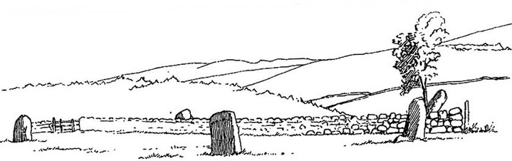
CairnfauldStone Circle
|
||||||||||||||||||||||||
|
|
|
Images (click to view fullsize) |
|
|
Fieldnotes |
|
|
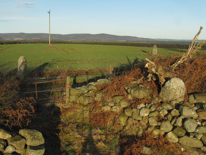
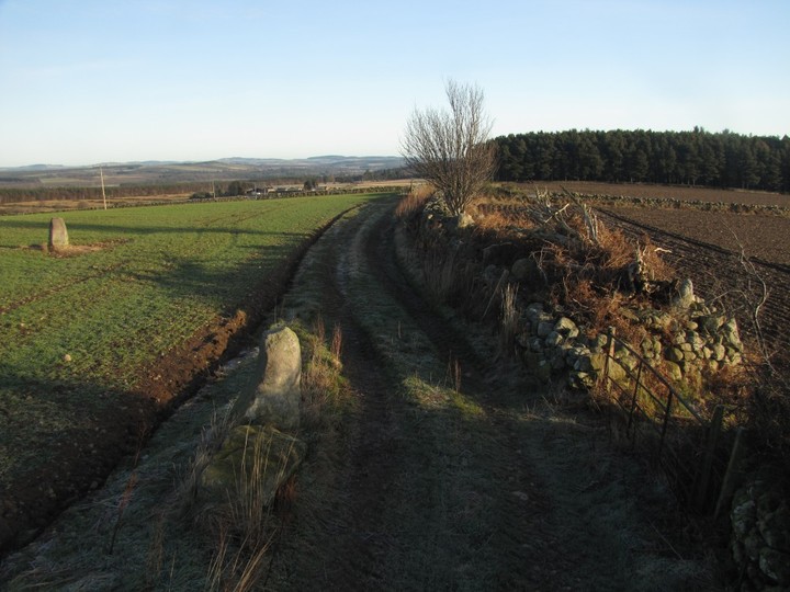
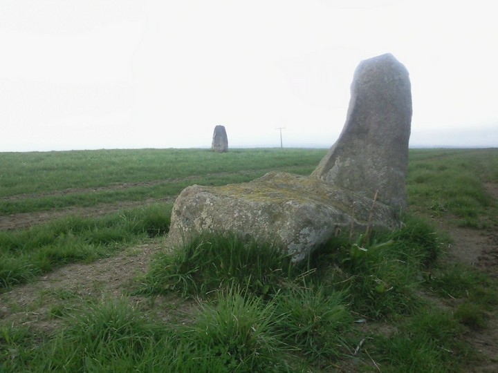
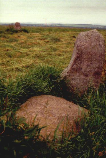
January 14, 2012 On a brilliant cold and frosty morning blessed with non-stop sunshine, I visited Cairnfauld (Crossroads) stone circle, just off the A957, 2 km south of the River Dee. With the aid of a monopod to hold my camera 3 metres above my head, it was possible to obtain this expansive view showing the 4 stones that remain visible. At the extreme left of the photo is the north stone. In the centre foreground is the southwest stone, with, prostrate beside it, the displaced west stone that used to stand on the arc of the circle, a short distance off camera, to the left of the scene. Photographs on Canmore show the latter, in situ, around a century ago. Buried in the consumption dyke, on the other side of the gate, can be seen the south stone, leaning over at an angle. Farther along the dyke, presumably buried within it, is the fifth stone shown in Cole's sketch. The dyke has clearly gained hugely in field clearance during the 20th century and I had no luck tracing the 5th stone. If there, it is now buried under boulders that have been heaped on top of it, somewhere close to the prominent tree growing out of the dyke. This was the first time I had visited so early in the year, when crops and vegetation no longer obscured much of the scene. |
 Posted by LesHamilton
14th January 2012ce Edited 28th March 2024ce |
|
Cairnfauld is another ruined circle that is probably better known for the legend that surrounds it. (see Rhiannon's folklore note, as well as cattle dying, stones seem to vanish as well) Travel south from Crathes on the A957 known in the North East as the Slug Road, crossing the River Dee, turning left at the Crossroads primary school. The circle, of which four stones (Burl says 4) are mean't to remain (I could find only three), is at the top of the hill immediately behind the school. Some commentators describe this as an RSC but even in Coles (who said 5 stones) time this would surely have been a guess. Cheered me up on a bad day! 24/5/09. |
26th May 2009ce Edited 26th May 2009ce |
Folklore |
|
|
"The devastation of his cattle herd by disease fell ..upon the farmer of-Cairnfauld, in Durris parish, following upon his removal of some of the stones of the circle near-by." In: Ritchie, J., Folklore of Aberdeenshire Stone Circles, in Proc. Soc. Ant. of Scotland, LX, 1926, pp304-313. |
 Posted by Rhiannon
1st October 2006ce Edited 1st October 2006ce |