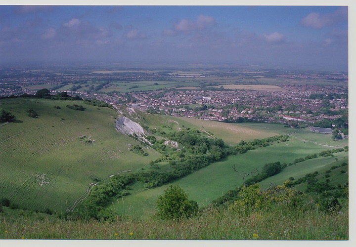
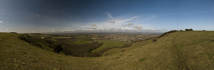
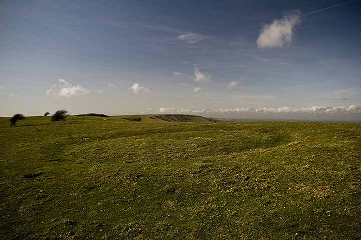
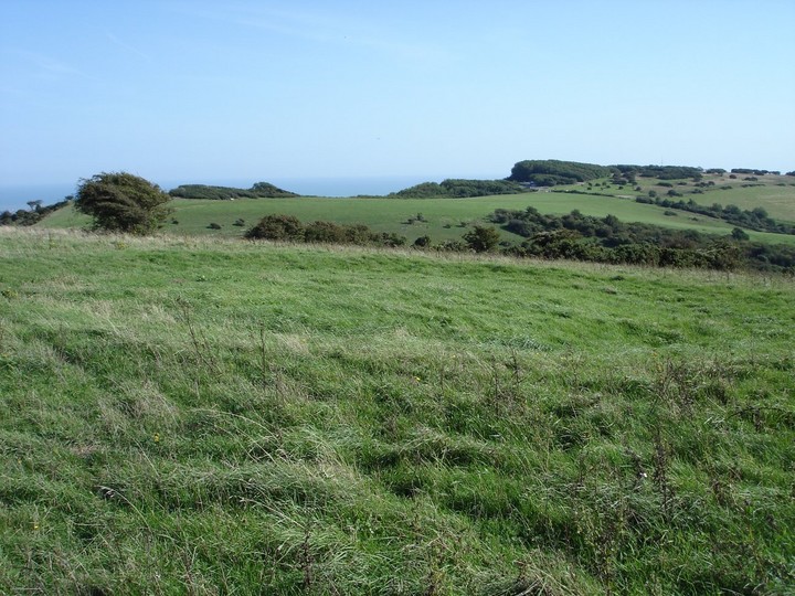
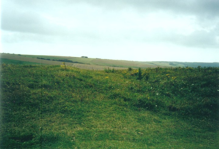
Coombe Hill (or The Combe) certainly warrants a visit if you are in the South East Of England. I found it best to approach walking from the village of Jevington and following the South Downs Way, and if armed with an OS map (recommended!) you will notice there are plenty of other barrows marked on the way.
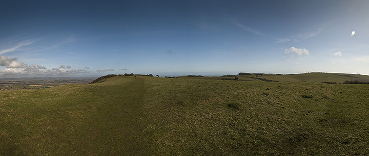
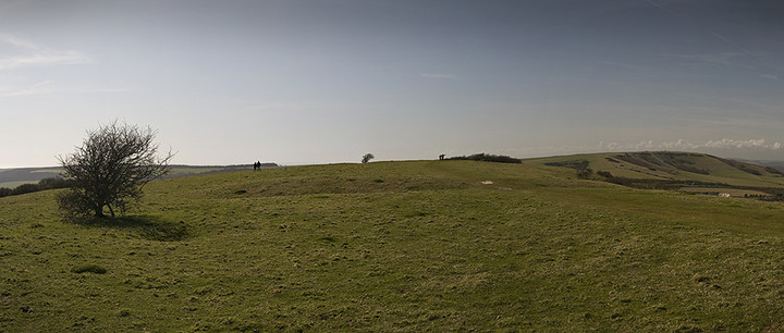
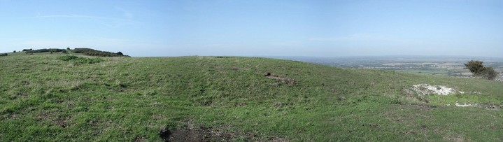
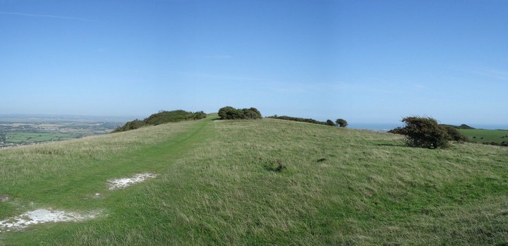
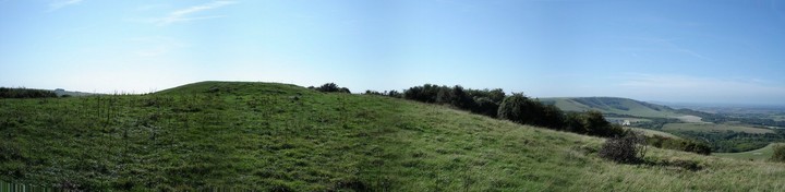
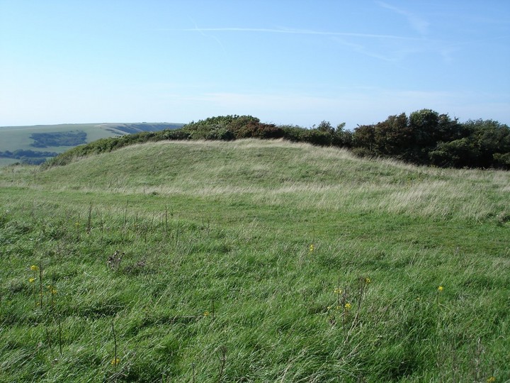
The top of the Hill has spectacular views and the three barrows are indeed impressive and extremely well looked after, so much so that the disc barrow is easy to define. If you walk south east then south from the enclosure you can be treated to further barrows, that are less impressive but worth a visit. I got to the large one at the top of Bourne Hill (TQ577009) before heading back to Jevington after an exhilarating and breathtaking walk on a fab summers' day in the East Sussex countryside.
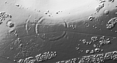
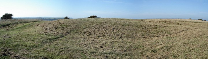
The inner circle can just about be traced all the way around, except where the circles have been interrupted by the downland scarp to the north. A right of way crosses the site, and the double entrances at both east and west can be made out best from this.
Also to east and west, right by the entrance in the case of the latter, are impressively sized Bronze Age round barrows (Impressive for this neck of the woods at least!)
This was the last causewayed camp built on the South Downs and it is roughly contemporary with Avebury Henge, where the Windmill Hill causewayed Camp was being abandoned in favour of the newer style of sacred enclosure, indicating how "backward" the Neolithic culture this far from the plateau of Wiltshire may have been.

 Posted by Jonnee23
 Posted by Cursuswalker