|
|

|
|
Buckholt WoodLong Barrow
|
||||||||||||||||||||||||
|
|
|
Images (click to view fullsize) |
|
|
Fieldnotes |
|
|
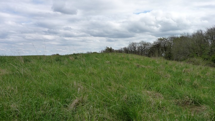
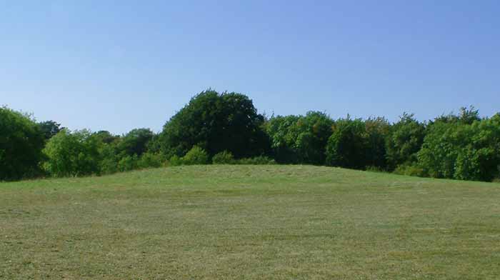
Visited 28.12.11 Not a lot to report. All that remains of this much ploughed out Long Barrow is a long, low, grass covered mound – I would say about 50 metres long and 0.5 metres high. The hedgerow surrounding the field consisted largely of thorn bushes and a 'keep out' sign does little to encourage a visit. However, I managed to find a gap in a wall…… |
Posted by CARL 5th January 2012ce |
|
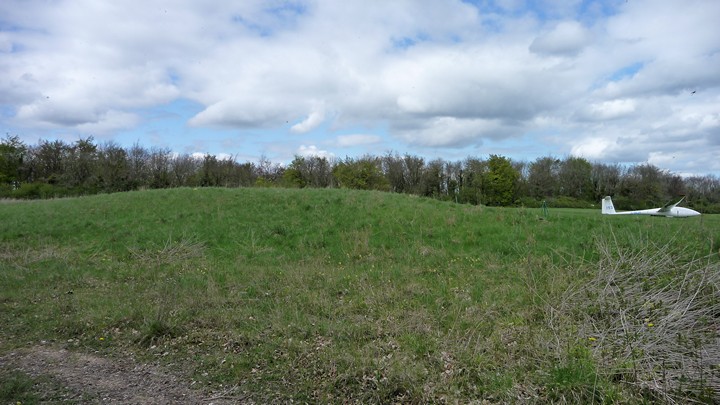
Visited 26.4.09, from Nympsfield long barrow and The Soldier's Grave, using the same route as Baza. This involves a climb up a steep-ish bank from the valley footpath to the south below. The barrow stands at the west end of the glider club airstrip and is not the most impressive of monuments, just a low grass mound. It can also be seen from the road at a gap in the hedge to the NW. |
 Posted by thesweetcheat
7th June 2009ce |
|
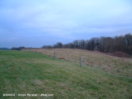
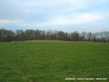
Visited 29th January 2005: I approached Buckholt Wood on foot from the direction of Nympsfield Long Barrow. It's a pleasant enough walk, but crossing the main road (the B4066) is tricky. Buckholt Wood is not the most exciting megalithic site you could visit. Definately one for the hardened enthusiast. |
 Posted by Kammer
2nd December 2005ce Edited 2nd December 2005ce |
|
On a recent visit to the Nympsfield long barrow, I noticed this one marked on the OS map, so decided to pay it a visit. Shortly after turning onto the minor road leading to the village of Nympsfield from the B4066, I drove into a National Trust car park on the left which serves Woodchester Park (you have to pay to park here, although I didn't notice until I was leaving). The footpath from the car park leads you down into a wooded valley. Where the path turns to the right, along the valley, I carried straight on up the other side, through the trees and out onto the end of a gliding club's airstrip. The barrow lies at the western end of this grass airstrip. It's been ploughed over, in the past, and is now no more than 2 metres high, with no visible stones. |
 Posted by baza
6th November 2003ce Edited 2nd February 2005ce |