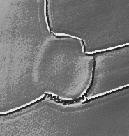
Mentioned by Craig Weatherhill, in "Cornovia: Ancient Sites of Cornwall & Scilly" (Cornwall Books - 1985, revised 1997 & 2000) - "Only traces remain of most of the single rampart and ditch of this small oval earthwork, although there is a stretch of bank 1.8m high on the south side. The enclosure originally measured 109m from north to south, by 97m; the entrance faced north-east. Excavations showed that it was constructed during the second century BC, with occupation continuing in to the second century AD. Huddled against the inside of the rampart were the sites of timber huts which were shown to have been occupied by metalworkers. Pits, hearths and a stone mould for casting penannular brooches were found; so to was an ingot mould embedded in the floor of a hut."

 Posted by pure joy