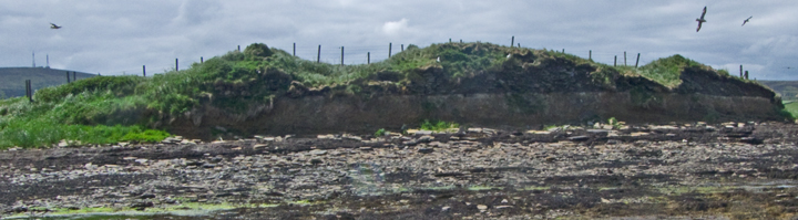
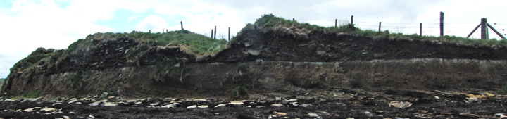
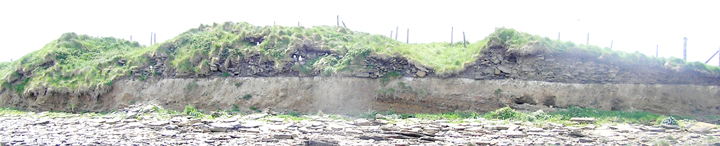
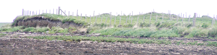
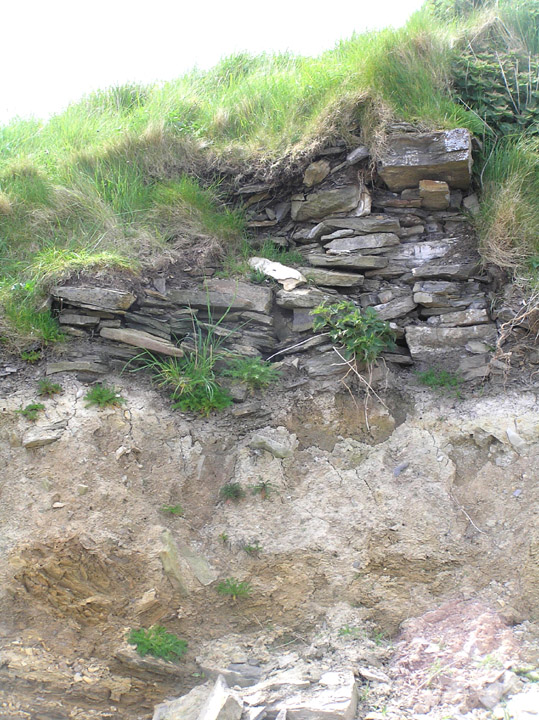
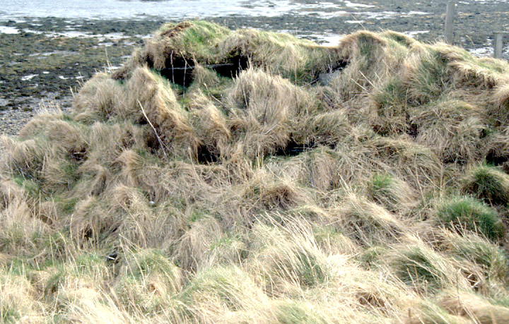
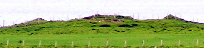
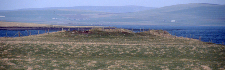
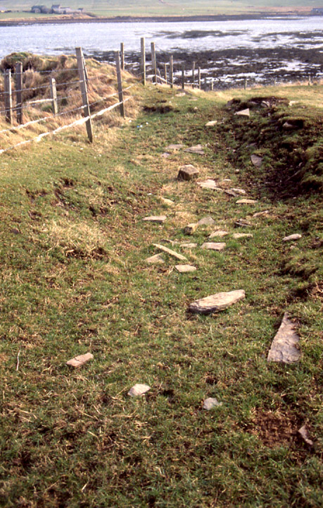
On the very tip of the little headland down from Rennibister souterrain this site is a lot better than it looks from the road. You have to go over a barred metal gate, inside which is the usual muddy rectangle where livestock have gathered. The grass-coverd mount presents a slightly horned apparance. From the rocks by the burn to the furthest on the left rock the mound totals 52m and from this line to the seaward side maxes out at 16m as the mound rises. At its highest points I made it to be 2-2.5m structure remaining. Next obstacle is two barb-wire fences under a metre apart running across the top - my little legs just made it .
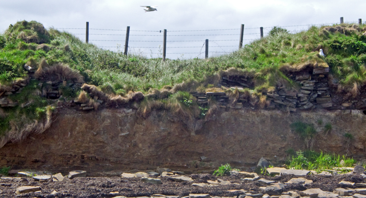
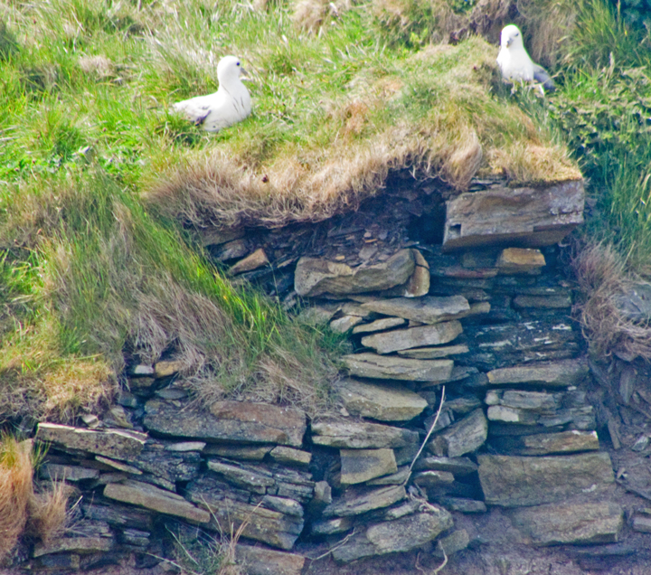
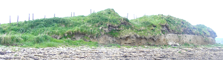
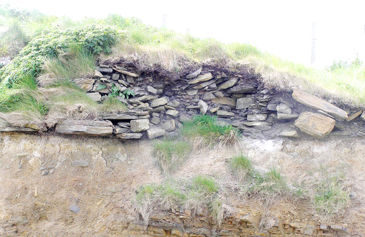
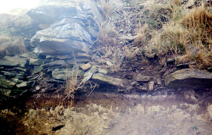
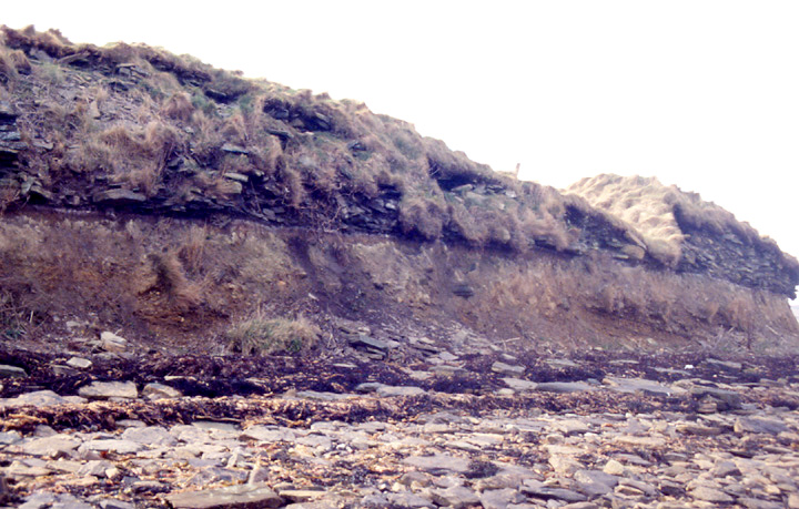
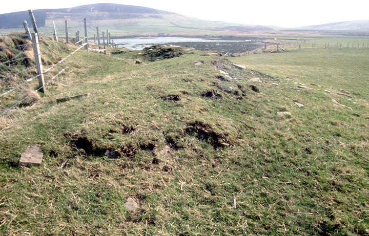
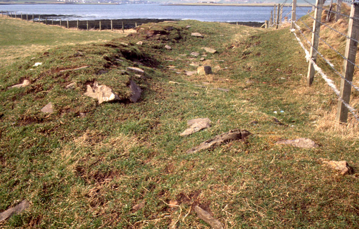
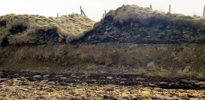
Most of the lower mound is before this, and as I found out the better stones are scattered across here. Coming up to the top there is an area of scattered stones, about two metres wide and encompassing 13m across, which appears to go around what remains of the central tower (the turfed horny section). You can make out inner and outer walls. As I climbed over to the coastline several fulmars flew out from the cliff-face. I found a spot on the left where I could get down to the shore - I must warn you that I found the seaweed around the cliff deep and slippy-slidey. From here you can follow from the left about 36m of remaining structure. Most of this wall is exposed, but alas the majority of the stonework is (now at least) small friable stuff. But the base is exceptionally well delineated a thin black and brown section ramrod staight!
Before I left I turned to look at some big birds in the sea. Imagine my surprise when the binoculars revealed one to be a seal just offshore. And the others turned out to be seal heads too. I made out five. The one nearest me revealed its flippers additionally as it bathed. At this point I left them to the quiet.
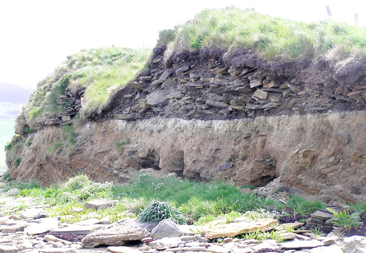
RCAHMS NMRS record HY31SE 5 refers to a doorway with guard chamber on the SW portion and to a section of gallery (and I saw at least one of these features still surviving).