|
|

|
|
Minions MoundBarrow / Cairn Cemetery
|
||||||||||||||||||||||||
|
|
|
Images (click to view fullsize) |
|
|
Fieldnotes |
|
|
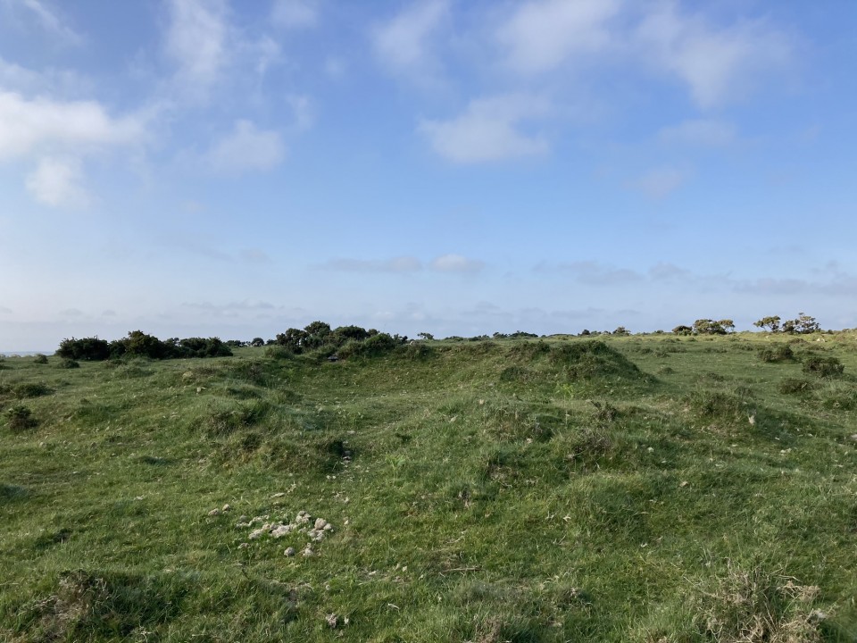
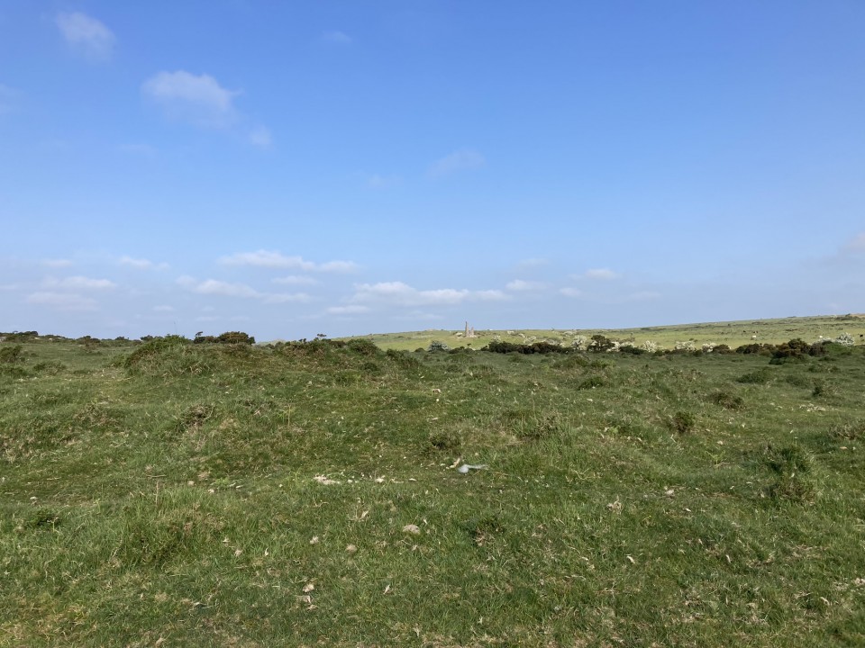
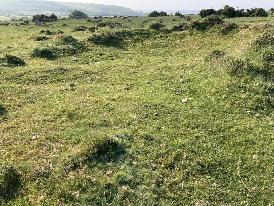
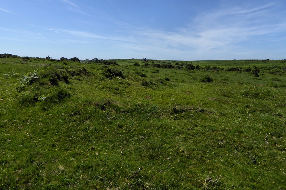
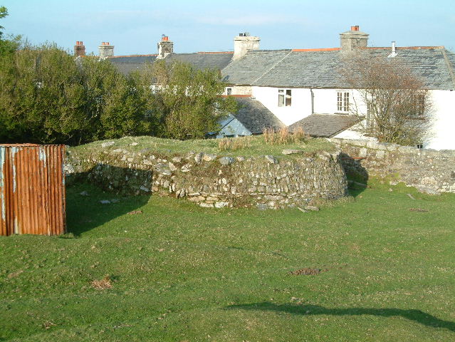
Visited 06.06.23 When I read Mr Hamhead's fieldnotes I realised that I had been walking past the original Minions Mound on every visit to Minions. The stone wall constructed round the mound may be protecting it for future antiquarians, however it also disguises the antiquity of the site. I decided to visit the Minions Mound currently marked on the OS as it was a flat walk for c. 300 yards. The round barrow stands out of the moorland, a horseshoe-shaped bank up to 1 yard high on the S Arc and c. 20 yards in diameter. The centre of the mound has been stone robbed down to ground level from the NW. Historic England 1010256 has further information on the tumulus. |
Posted by markj99 21st June 2023ce Edited 21st June 2023ce |
|
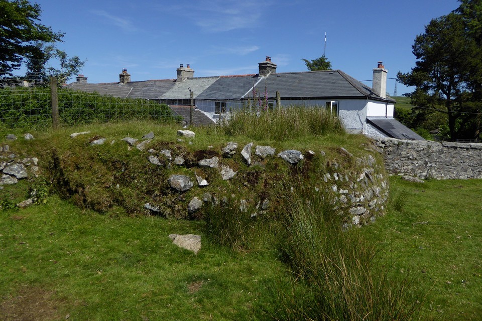
Visited 16.4.15 Had it not been for Mr Hamhead's notes I would have had no idea it was there! Very easy to miss as it just looks like part of a garden wall. Nothing much to see but it is nice to know that the barrow has survived. |
Posted by CARL 27th April 2015ce |
|
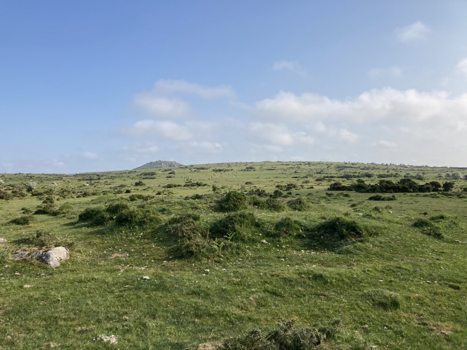
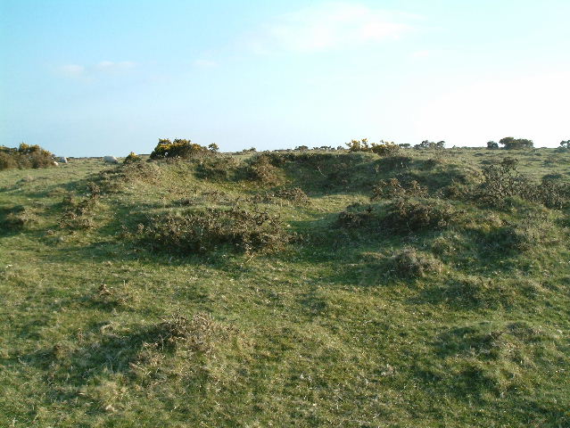
OK, hands up who's parked in the car park and walked to The Hurlers and missed this? Easily done, don't look much like a barrow I agree. But this my friends is how Minions got its name. On an 1845 map of the area the only thing marked (apart from mines) are the Hurlers and the Minions Barrow. Nowadays it sits entombed behind a 4ft high granite wall and I can find no record of any dig ever being done on it . Possibly because it had been "explored" by local miners same as the Rillaton Barrow. Just west of the mound is another tumuli which has definatly been dug into. This is the one that seems to be marked as the Minions Mound on the OS map, belive me it ain't! |
5th May 2004ce |