|
|

|
|
Carnedd y DdelwCairn(s)
|
||||||||||||||||||||||||
|
|
|
Images (click to view fullsize) |
|

|
Fieldnotes |
|
|
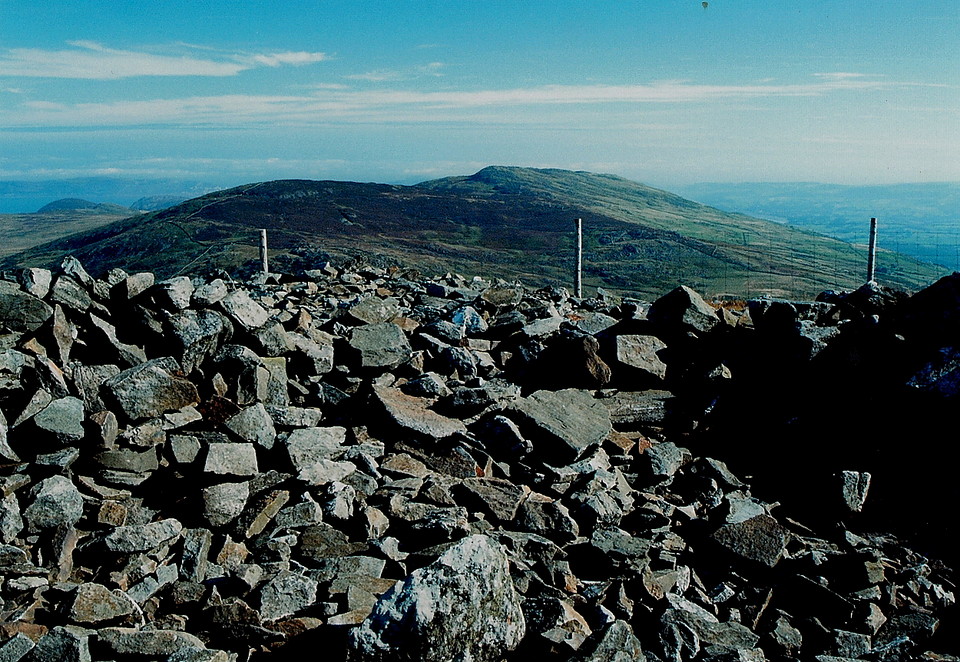
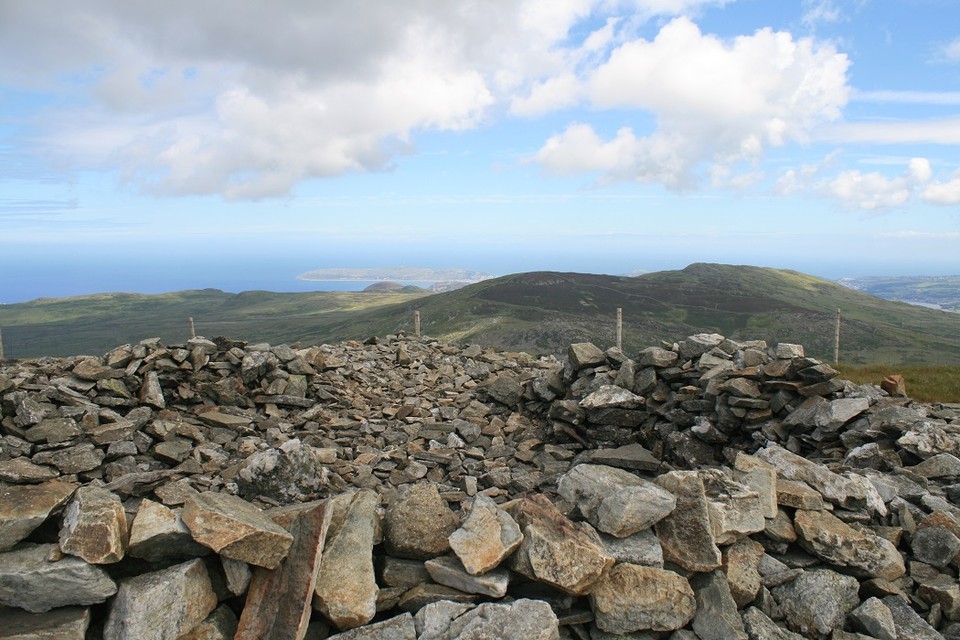
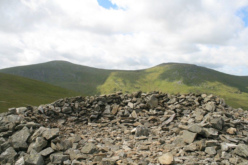
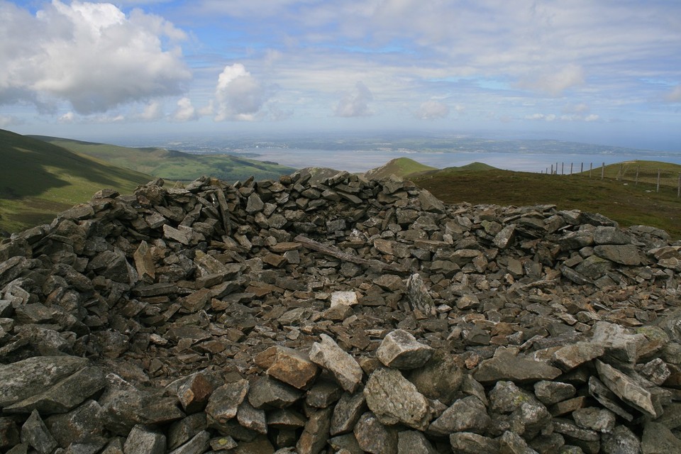
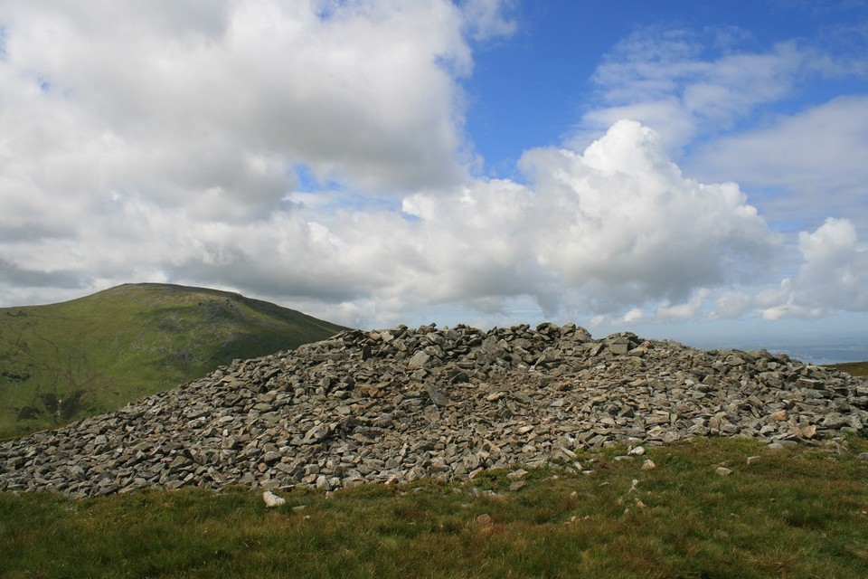
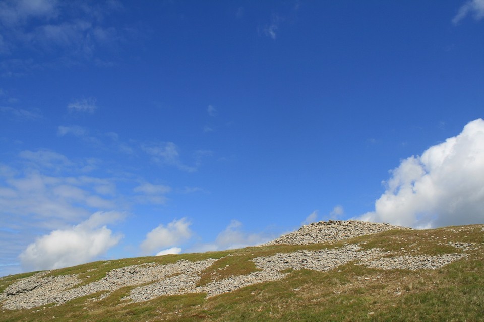
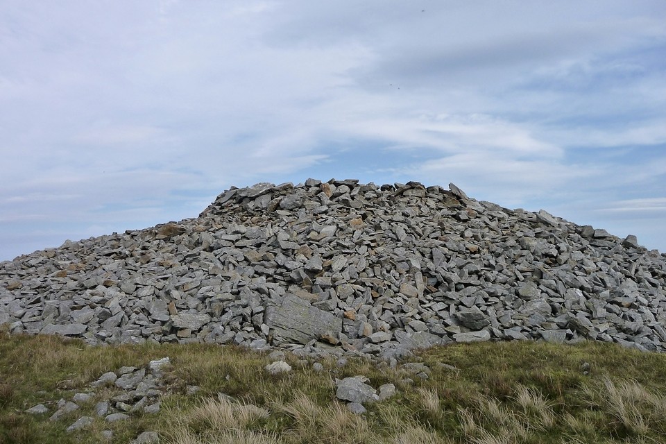
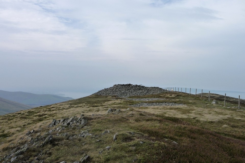
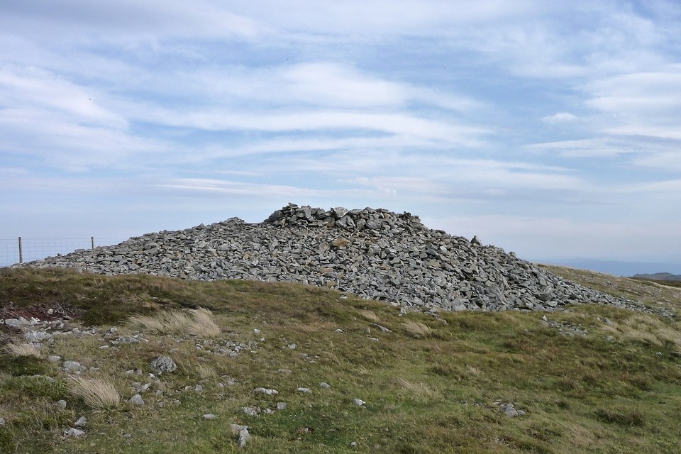
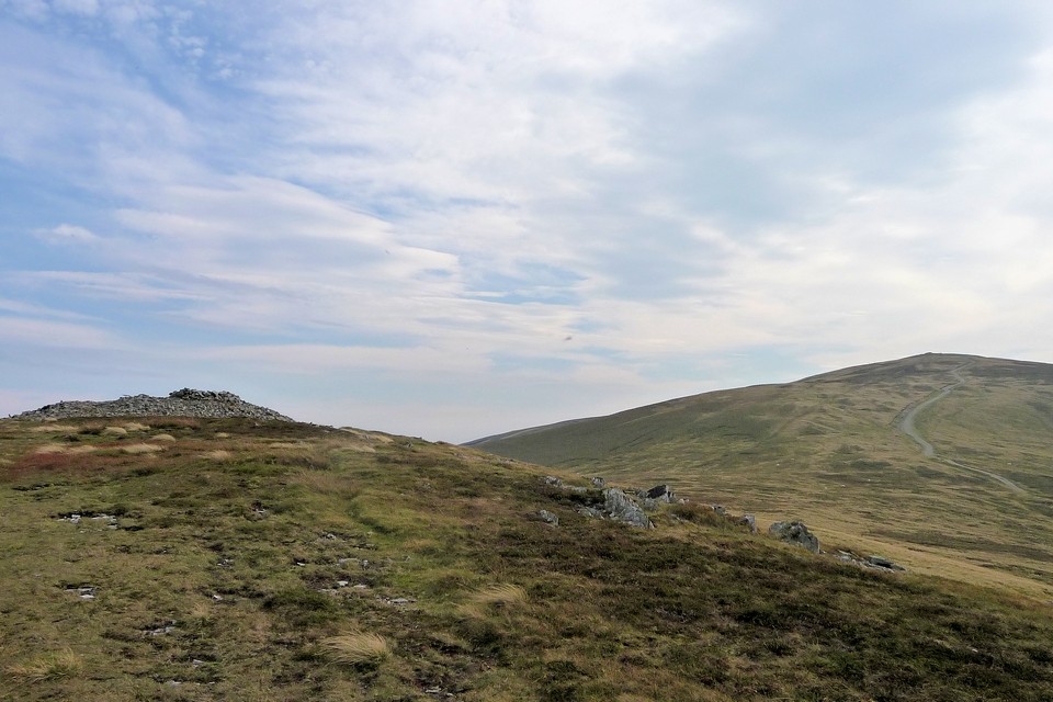
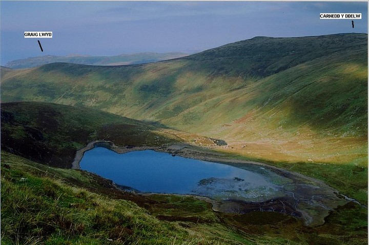
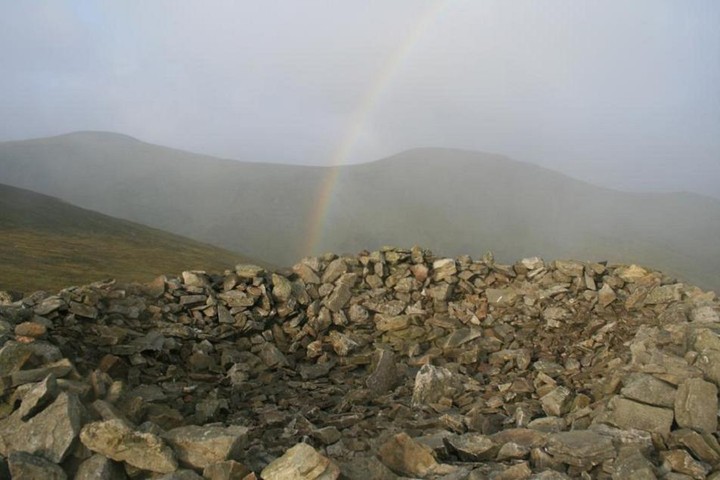
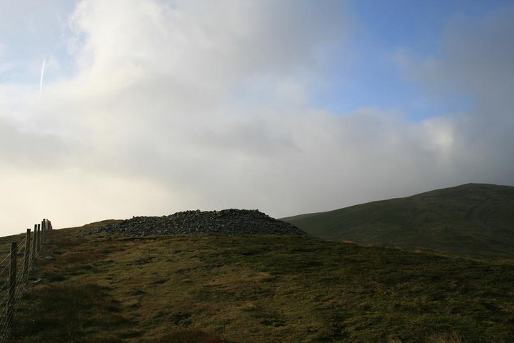
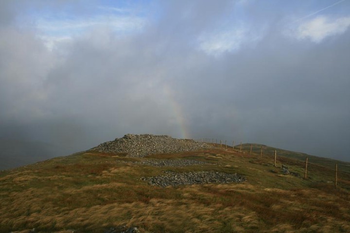
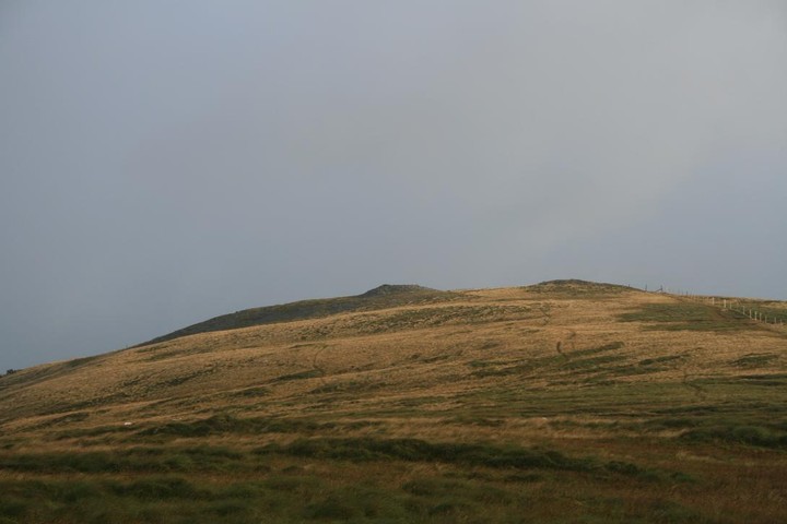
This very substantial cairn adds added interest for any hillwalker en-route to the 3000ft high Carneddau peaks of Foel Fras, Foel Grach etc. Not that many of them even pause for breath, that is, save to discard another bloody banana skin! And these people reckon they love Nature, eh? Postman's route is recommended, although longer variations beginning from Bont Newydd are also possible, with the added bonus of the great spectacle of the Aber Falls. Mind you TMA members could always make a diversion there afterwards. Probably the best bet unless you are unfeasibly fit and young, since an ascent from Bwlch Ddeufaen allows exploration of that fine valley, too. Simply a great place to sit and, well, do nothing except take in the fabulous views whilst perched upon a Bronze Age cairn. Mmm, nice. Noticed remnants of what appeared to be a cist in the cairn centre, but suspect this may be modern tamperings due to the precarious footings? Perhaps not - see the Coflein extract below... Note that the higher, but much less well preserved cairn upon Drum lies a little further up the ridge. Choose a fine day, or stick to the fence if mist should sweep in........ Coflein states 'A large mound of stones 60' in diameter and 5' high. In the centre is a hollow 5' deep exposing the upper part of an upright slab 1'6" long, possibly the remains of a cist or burial chamber. In the early years of the present century the capstone of a cist was said to be visible. A gold image 5 ins long is said to have been found at this cairn some time in the 18th century'. |
 Posted by GLADMAN
26th September 2009ce Edited 26th September 2009ce |
|
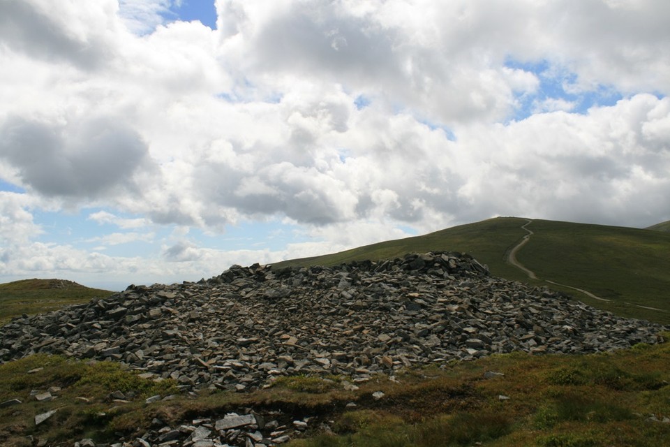
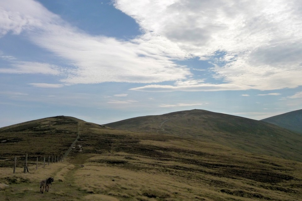
We parked at the end of the road under the power lines at Bwlch y ddeufaen, walked up to the standing stones past the cairn and when we reached the wall, we followed it up to the top, 670 metres high, to find this large cairn and the most spectacular of views. Although it was raining lightly the ferocious wind whipped the tiny raindrops into your face like a micro meteor shower, a bright and vibrant rainbow arched right the way across the valley below, and disappearing into the brightening sky a crescent moon hung low above the peak of Foel Fras. Wow it was windy, but another hundred metres further up is another cairn,I wondered if maybe it was too windy to be wandrin' round up here, soaked and cold but smilin'. |
 Posted by postman
15th August 2009ce Edited 1st July 2015ce |
|
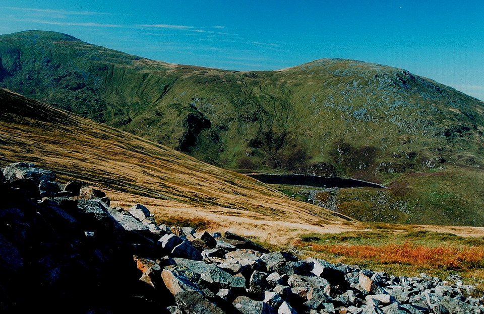
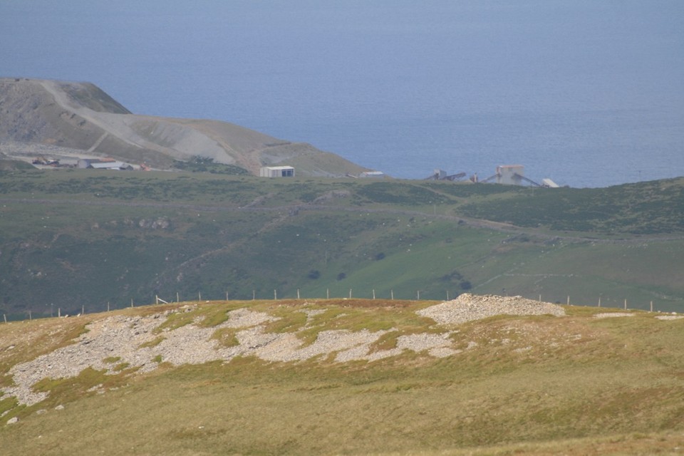
Visited here on Sunday afternoon, mercifully rewarded with astounding views to the east - the Clwydian Range, the course of the Roman Road going past Cerrig Pryfaid, Maen y Bardd etc; to the north, the Great Orme with the location of Druid's Circle; to the west, a large cwm, and the the eastern end of Anglesey. To the south was the continuining ridge of the Carneddau, looking up to another cairn, Carnedd Penyborth Goch. The cairn provides welcome respite from the blasting wind; once within the embrace of its ring, you almost feel at home. I suspect the cairn is also considerably bigger than its immediate appearance; the cairn material is spread wider and deeper if you look carefully. Ascended via a route from the north west, going up 500 M over 3 KM, and descended back via the Bwlch y Ddeufaen. Next time, it will be on to the next summit. |
 Posted by ShropshireTraveller
5th July 2005ce Edited 14th March 2006ce |
Folklore |
|
| Carnedd y Ddlew means 'cairn of the image'. This must be an amazing location - perched on a desolate mountain ridge with views all around. I think if I dragged myself up here I'd be hallucinating all sorts of images - but perhaps the name doesn't refer to the imaginary type but to a solid article, an image as more of a religious figure? Grinsell (in 'folklore of prehistoric sites of Britain') records that a 'gold image' was found in or near the cairn in the eighteenth century. The man who found it took it home. He soon found that his house was filled with eerie noises and strange happenings - to stop the hauntings he threw away the image. I think I might have been too scared to merely throw it away - such items usually need returning to their place of origin to get back your peace? |
 Posted by Rhiannon
18th June 2004ce Edited 14th March 2006ce |
Links |
|
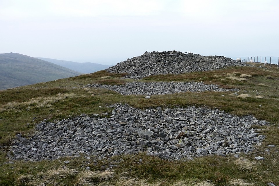
Summit Cairns In SnowdoniaPlan of the much-mucked-about-with cairn. |
 Posted by thesweetcheat
2nd October 2011ce |