The Modern Antiquarian. Stone Circles, Ancient Sites, Neolithic Monuments, Ancient Monuments, Prehistoric Sites, Megalithic MysteriesThe Modern Antiquarian


An Carn

Cup Marked Stone

<b>An Carn</b>Posted by rockandyImage © rockandy
Nearest Town:Lochgilphead (18km E)
OS Ref (GB):   NR680935 / Sheets: 55, 61
Latitude:56° 4' 40.17" N
Longitude:   5° 43' 43.39" W

Added by Paulus


Discussion Topics0 discussions
Start a topic


Show map   (inline Google Map)

Images (click to view fullsize)

Add an image Add an image
<b>An Carn</b>Posted by rockandy <b>An Carn</b>Posted by rockandy <b>An Carn</b>Posted by rockandy <b>An Carn</b>Posted by rockandy <b>An Carn</b>Posted by rockandy <b>An Carn</b>Posted by rockandy <b>An Carn</b>Posted by rockandy <b>An Carn</b>Posted by rockandy <b>An Carn</b>Posted by rockandy <b>An Carn</b>Posted by rockandy

Fieldnotes

Add fieldnotes Add fieldnotes
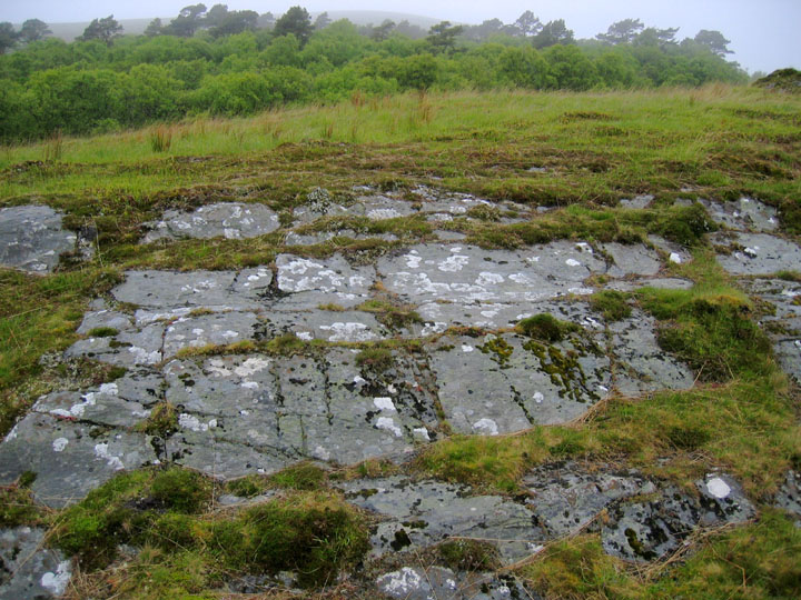
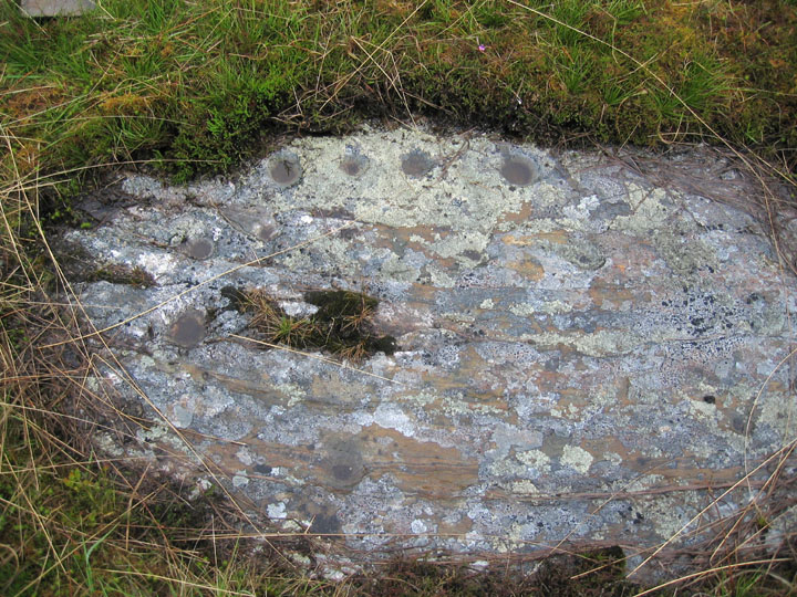
There are 9 groups of cup-marks on horizontal or gently sloping outcrop very close to the deserted village of An Carn, 50m above sea level. The settlement was cleared by 1868 according to oral tradition and now lies abot 1km from the road. It seems unlikely that the inhabitants could be unaware of the carvings so close to their houses. One cup-marked outcrop has a larger bowl-shaped carving, 20cm diameter, that may have been used for grinding corn in this modern phase. A corn-drying kiln has also been found in the adjacent woodland. The total number of cup marks is about 100. Many are highly eroded and cut through the rock strata but some examples are up to 5cm deep.

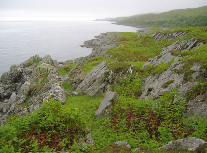
A small bay some 250m NE of the township affords one of the few safe boat landings on the NE coast of Jura. Excavation of a cave at the head of the bay produced finds of late medieval date. There is a Bronze Age cairn about 1km to the NE at Cnoca'Churn Mhoir.
Posted by rockandy
4th June 2005ce

Links

Add a link Add a link

The Gaelic Landscape of Jura: Place Names and Landscape Photography


Posted by rockandy
14th June 2006ce
Edited 15th June 2006ce