This site is of disputed antiquity. If you have any information that could help clarify this site's authenticity, please post below or leave a post in the forum.
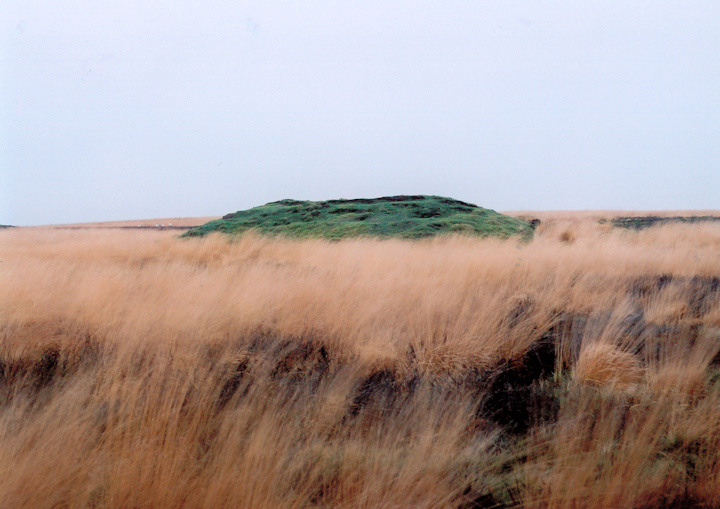
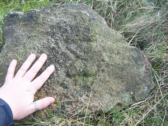
There is coal beneath this round barrow. It's shown on the 1932 Geological Survey as the 'Margery Band' and it's just a shallow seam. Trouble is that it's thirty metres below ground level and that's way beyond the depth of any bell pit. Other means of mining it would have left surface traces - which aren't there - such as a road, a shed, a mineshaft etc. The stone that's pictured on the barrow, with a carved 'M', is probably an ancient boundary stone - it was common to use tumuli as boundary markers - and the 'M' probably represents Margaret - Bolton's patron saint.
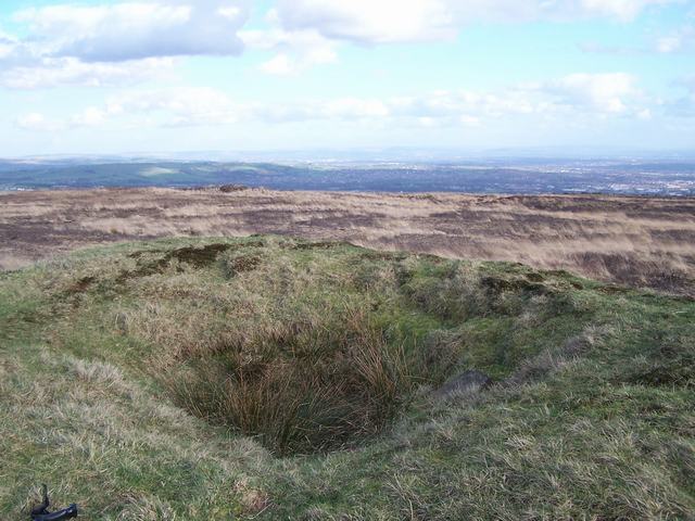
I'm not so sure about the authenticity of this cairn there are three similliar mounds on the waterfalls walk at Anglezarke marked clearly as bellpits but theyre dug a little bit deeper and bigger than this one.

 Posted by Stoneshifter
 Posted by treehugger-uk