The Modern Antiquarian
Log in
|
Register
Home
Latest Posts
Forums
Maps
Help
Browse Sites
News
Blog
Contributors
The Books
Select
-
Belgium
Denmark
Eire
France
Germany
Greece
Italy
The Netherlands
Norway
Portugal
Republic of Malta
Spain
Sweden
Switzerland
United Kingdom
County Donegal
Binn
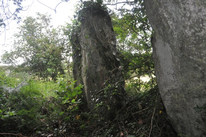
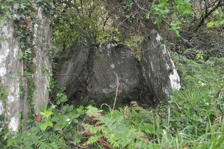
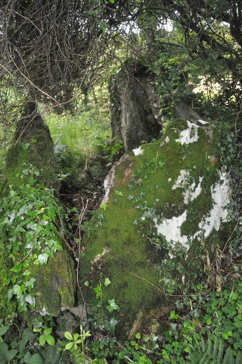
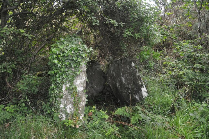
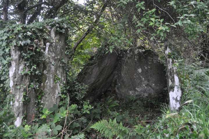
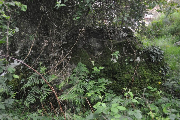
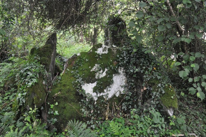
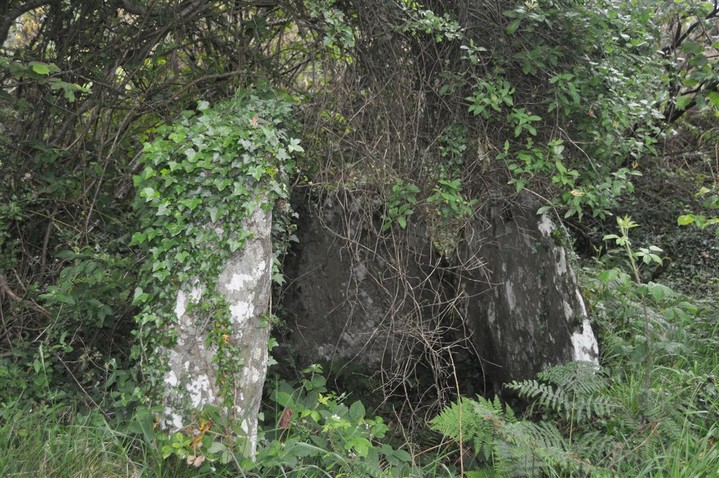
Portal Tomb
Binn (Portal Tomb) on The Modern Antiquarian, the UK & Ireland's most popular megalithic community website. 8 images, plus information on many more ancient sites nearby and across the UK & Ireland.
Image © Charles Coughlan
Nearest Town:
Rathmullan (5km S)
OS Ref (IE):
C296323 /
Sheets: 2, 3
Latitude:
55° 8' 13.15" N
Longitude:
7° 32' 8.98" W
Added by
FourWinds
Images (8)
0 discussions
Start a topic
Show |
Hide
Web searches for Binn
Flickr
Google
Google Images
The Megalithic Portal
Bing
Stone Pages
Wikipedia
Show map
(inline Google Map)
- Sites within 20 km -
-
Drumhallagh Upper (2.15km WSW) (5 posts)
Creevery Upper (4.99km SSW) (4 posts)
Gortnavern (8km WSW) (15 posts)
Carnaghan (8.91km SE) (12 posts)
Meenkeeragh (9.79km E) (6 posts)
Meenkeeragh standing stone (9.9km E) (3 posts)
Grianan of Ailech (14.38km SE) (28 posts)
Portleen (15.19km SW) (5 posts)
Carrownaganonagh (15.2km WSW) (5 posts)
Eskaheen (16.29km E) (13 posts)
Letter (18.12km SW) (14 posts)
Barnes Lower (18.21km WSW) (8 posts)
Ardmore (18.59km E) (11 posts)
Mevagh (18.89km W) (6 posts)
Carrowmore or Glentogher (19.11km ENE) (2 posts)
Carrowmore or Glentogher (Dg. 24) (19.16km ENE) (4 posts)
Cluain tSalach (19.21km W) (3 posts)
Cluain tSalach (19.21km W) (4 posts)
Carrowmore or Glentogher (Dg. 25) (19.24km ENE) (10 posts)
Tromaty (19.51km E) (3 posts)
Carrowmore or Glentogher (Dg. 26) (19.79km ENE) (0 posts)
Rashenny (19.94km NE) (6 posts)
- Add -
-
Add news
Add an image
Add fieldnotes
Add folklore
Add miscellaneous
Add a link
-
Add a site
Add a nearby facility
Add an alternative name/spelling
Images
(click to view fullsize)
Add an image
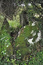 Image © Charles Coughlan