A search of Lordenshaw rock-art in the Beckensall Archive gives over 100 panels ranging from small boulders bearing single cup-marks to intricately carved outcrops and long grooved slabs. Best known are the main outcrop with an ancient Ministry of Works sign and the 'Horseshoe Rock' both west of the hillfort and easily accessed from the carpark at the east end of the Simonside Hills.
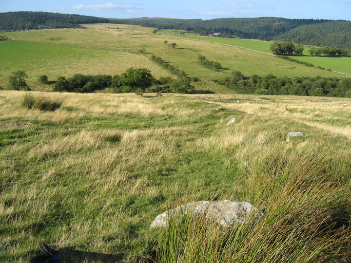
A large number of panels are situated east of the hill fort and continue north-easterly down the ridge to Whitton Dene above Rothbury. Some 30 panels north of the NZ/NU grid boundary make up the Beckensall 6 cluster designated as North Lordenshaw in the region of the standing stone. Convenient access is from the bridge over the Whitton Burn on the B6342, 1 mile south of Rothbury.
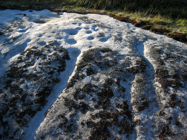
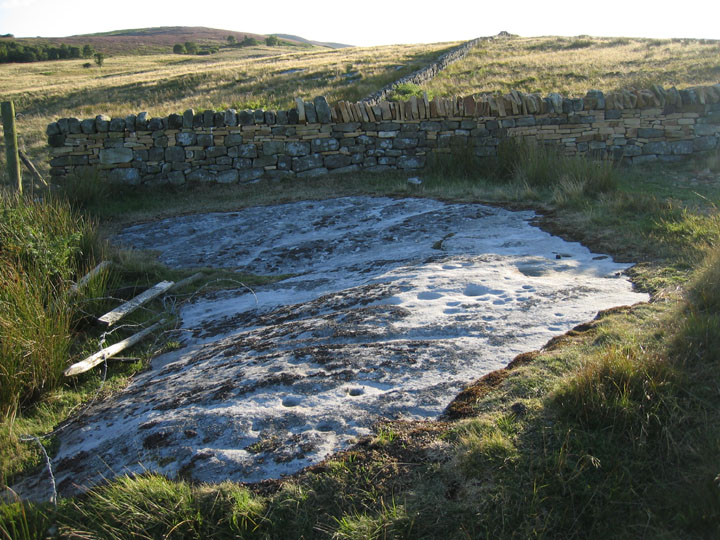
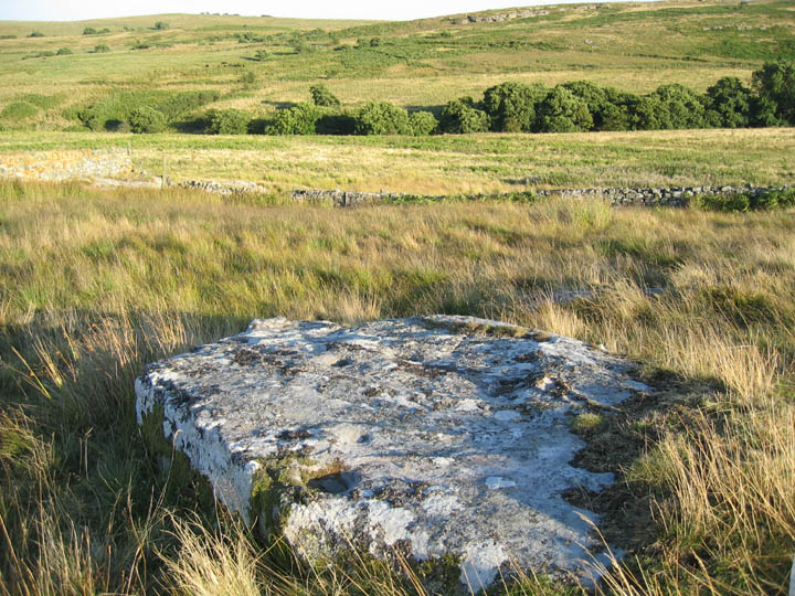
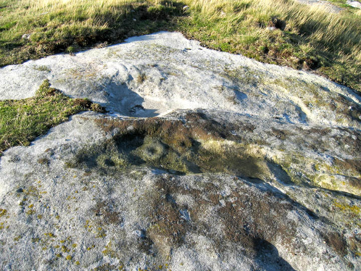
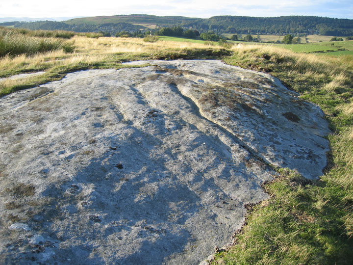
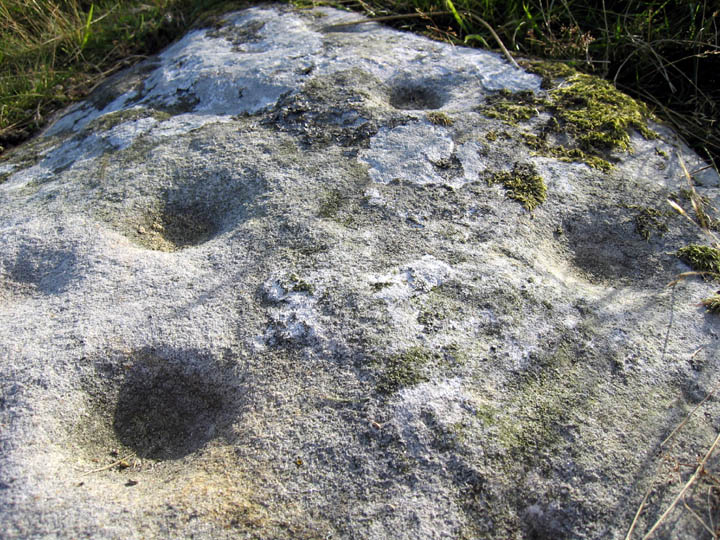
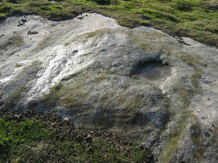
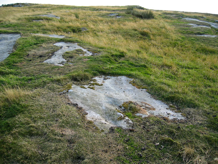
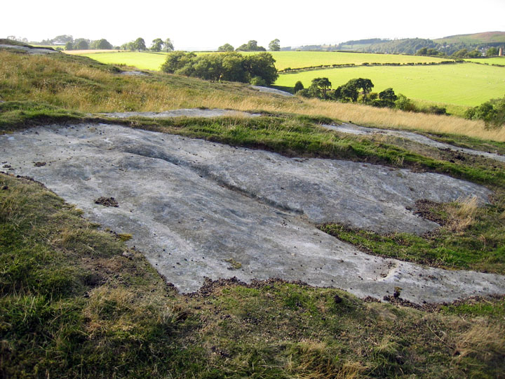
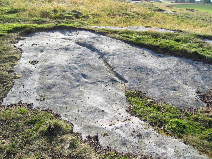
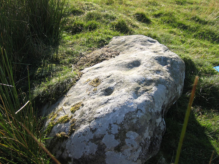
It is an area of boulders, quarried outcrops and large flat sandstone slabs. Many of the rocks have multiple cup-marks, some with faint rings. Large basins and long channels (possibly accentuated or eloborated natural features) are also a feature similar to those futher south. Views are predominantly to the north over Coquetdale and north-west to Cheviot with Simonside largely hidden behind the long ridge which rises toward the hill fort.