|
|

|
|
CeredigionCounty
|
|
|
|
Sites/Groups in this region:
|
8 posts
Banc-y-Geufron Kerbed Cairn |
10 posts
Banc-y-Gwyngoed Round Cairn |
3 posts
Banc Blaenegnant Round Cairn |
|
3 posts
Banc Rhosgoch Fach Dolmen / Quoit / Cromlech |
1 post
Banc y Warren Enclosure |
32 posts
Bedd Taliesin Chambered Cairn |
|
5 posts
Blaen Camddwr Round Cairn |
20 posts
Bryngwyn Bach Barrow / Cairn Cemetery |
12 posts
Bryn-y-Crofftau Ring Cairn |
|
4 posts
Bryn Cosyn Cairn(s) |
13 posts
Bryn Dafydd Round Cairn |
6 posts
Bryn Goleu Round Cairn |
|
8 posts
Bryn Gwyddel Round Barrow(s) |
11 posts
Bryn Rhosau Round Barrow(s) |
22 posts
Bryn Rhudd Barrow / Cairn Cemetery |
|
1 post
Bryn Rhudd Cairn(s) |
25 posts
Bryn y Gorlan Stone Circle |
1 post
Bwlch-y-Crwys Round Barrow(s) |
|
9 posts
Bwlch east of Moel y Llyn, Ceulanamaesmawr Cairn(s) |
11 posts
Bwlch Graig-Fawr, Teifi Pools Cist |
2 posts
Caer Allt-Goch Hillfort |
|
4 posts
Cae'r Arglwyddes I Round Cairn |
12 posts
Cae'r Arglwyddes II (& the White Stone) Round Cairn |
4 posts
Caer Lletty-Llwyd Hillfort |
|
12 posts
Caer Maurice Hillfort |
4 posts
Caer Penrhos Hillfort |
17 posts
Cantre'r Gwaelod Mesolithic site |
|
3 posts
Capel Bangor Camp Hillfort |
11 posts
Carn-y-Rhyrddod Round Cairn |
16 posts
Carn Blaen Glasffrwd Barrow / Cairn Cemetery |
|
6 posts
Carn Bwlch Corog Round Cairn |
9 posts
Carn Dolgau Round Cairn |
24 posts
Carn Fflur Barrow / Cairn Cemetery |
|
11 posts
Carn Nant-y-Llys Cairn(s) |
8 posts
Carn Penrhiwllwydog Cairn(s) |
13 posts
Carn Saith-Wraig Cairn(s) |
|
1 post
Carreg Samson Standing Stone / Menhir |
3 posts
Carreg Samson (Llethr) Standing Stone / Menhir |
15 posts
Castell Bach and Castell Mawr Hillfort |
|
10 posts
Castell Bach, Cwmtydu Cliff Fort |
7 posts
Castell Bach (Penbryn) Cliff Fort |
12 posts
Castell Bwa-Drain Hillfort |
|
9 posts
Castell Disgwylfa Hillfort |
13 posts
Castell Flemish Hillfort |
1 post
Castell Moeddyn Hillfort |
|
13 posts
Castell Rhyfel Hillfort |
13 posts
Castell Tregaron. Sunnyhill wood camp Hillfort |
12 posts
Castle Grogwynion Hillfort |
|
14 posts
Cefn Cerrig Cairn(s) |
8 posts
Cerrig Blaencletwr-Fawr (Esgair Foel-ddu) Round Cairn |
21 posts
Cerrig yr Wyn Standing Stones |
|
10 posts
Cnwch Eithinog Cairn(s) |
9 posts
Cnwch Eithinog Standing Stone / Menhir |
10 posts
Cnwch Mawr (Llanddewi Brefi) Round Cairn |
|
9 posts
Cnwc y Bugail Hillfort |
7 posts
Copa Hill Ancient Mine / Quarry |
8 posts
Craig Ysradmeurig Round Barrow(s) |
|
12 posts
Crug Round Cairn |
2 posts
Crug Cou Round Barrow(s) |
7 posts
Cwmere Farm Stone Standing Stone / Menhir |
|
10 posts
Cylch Derwyddol Stone Circle |
12 posts
1 site Darren Camp Hillfort |
6 posts
Devil's Punch Bowl Natural Rock Feature |
|
20 posts
Dolgamfa Circle Kerbed Cairn |
9 posts
Domen Milwyn Cairn(s) |
11 posts
Esgair Nant-yr-Arian Promontory Fort |
|
7 posts
Esgair Perfedd Round Cairn |
10 posts
Fan (Nantcwnlle) Round Cairn |
1 post
Ffynnon-Wen (Llangybi) Sacred Well |
|
2 posts
Ffynnon Drewi (Mynydd Bach) Round Cairn |
6 posts
Foel y Mwnt Promontory Fort |
3 posts
Fron Ddu Round Cairn |
|
11 posts
Fron Goch Camp Hillfort |
11 posts
Gaer Fawr, Trawsgoed Hillfort |
10 posts
Garn, Banciau Duon Round Cairn |
|
10 posts
Garn Fawr (Tregaron) Cairn(s) |
Garn Felen (Llanddewi Brefi)
Cairn(s)
|
17 posts
Garn Gron Barrow / Cairn Cemetery |
|
13 posts
Garn Wen, Mynydd Bach (North) Cairn(s) |
10 posts
Garn Wen (Trefeurig) Round Cairn |
7 posts
Gelli Round Barrow Round Barrow(s) |
|
1 post
Gilfach-Hafel Camp Hillfort |
6 posts
Graig-wen (Llanddewi Brefi) Cairn(s) |
6 posts
Groes Fawr Cist |
|
2 posts
Hen Gaer Hillfort |
12 posts
Llan Ddu Fawr Round Cairn |
5 posts
Llech Bron Standing Stone / Menhir |
|
10 posts
Llethr Brith Round Cairn |
1 post
Llwyn Crwyn Round Barrow(s) |
8 posts
Moelau Round Cairn |
|
20 posts
Moel y Llyn, Ceulanamaesmawr Megalithic Cemetery |
7 posts
Nant-y-Maen Standing Stone / Menhir |
13 posts
Old Warren Hillfort Hillfort |
|
49 posts
Pendinas (Aberystwyth) Hillfort |
14 posts
Pendinas Lochtyn Hillfort |
5 posts
Penrhyncoch Camp Hillfort |
|
25 posts
Pen-y-Bannau Hillfort |
8 posts
1 site Pen-y-Bwlch (Ystrad Fflur) Cairn(s) |
3 posts
2 sites Pen-y-Castell |
|
4 posts
Pen-y-Felin Wynt Hillfort |
14 posts
Pen-y-Ffrwyd Llwyd Camp Hillfort |
3 posts
Pen-y-Graig (Llanarth) Ancient Village / Settlement / Misc. Earthwork |
|
10 posts
Pen-y-Gurnos Round Barrow(s) |
Pen Banc
Cairn(s)
|
6 posts
Pen Carreg Gopa Round Cairn |
|
16 posts
Pen Dinas (Banc Mynydd Gorddu) Hillfort |
7 posts
Pen Glog Round Cairn |
10 posts
Pen y Corn Cairn(s) |
|
21 posts
Pen y Foel Goch Cairn(s) |
3 posts
2 sites Plas Gogerddan |
5 posts
37 sites Pumlumon and its Environs |
|
8 posts
Talcen Yr Esgair (Esgair Elan) Cairn(s) |
5 posts
Tanybryn-Isaf (Trefeurig) Round Cairn |
12 posts
Tan-y-Ffordd Hillfort |
|
7 posts
Tan-yr-Esgair, Mynydd Bach (South) Barrow / Cairn Cemetery |
12 posts
Trawsallt Cairn(s) |
11 posts
Trichrug Sacred Hill |
|
1 post
Whilgarn Cairn(s) |
21 posts
Ysbyty Cynfyn Christianised Site |
11 posts
Y Garn (Garn Gron) Round Cairn |
Sites of disputed antiquity:
|
10 posts
Llwyn-on-Fach Standing Stone / Menhir |
4 posts
Nant-y-Ffrwd Standing Stone / Menhir |
2 posts
Penbryn Pillar Stone Standing Stone / Menhir |
|
5 posts
Penmaen-Gwyn Standing Stone / Menhir |
4 posts
Penrhyn-Coch War Memorial Standing Stone / Menhir |
7 posts
Pond Nant y Cagal Stones Standing Stones |
|
4 posts
St Tyssilio's Churchyard Stone Standing Stone / Menhir |
10 posts
Y Garreg Fawr Burial Chamber |
News |
|
Prehistoric forest arises in Cardigan BaySkeletal trees of Borth forest, last alive 4,500 years ago and linked to lost kingdom of Cantre'r Gwaelod, appear at shoreline... continues... |
 Posted by moss
21st February 2014ce |
Prehistoric landscape uncovered at BorthFrom the RCAHMW blog at http://heritageofwalesnews.blogspot.com/2012/03/prehistoric-landscape-uncovered-at.html "It’s a race against tide this week at Borth in Ceredigion... continues... |
 Posted by blossom
13th March 2012ce Edited 14th March 2012ce |
1,000-year-old fishing trap found on Google EarthBritain's most ancient fishing trap has been discovered off the coastline of Wales after research carried out on Google Earth. The 853ft (260m) long construction is thought to have been built 1,000 years ago, around the time of the Domesday Book, using large rocks placed on a river bed... continues... |
16th March 2009ce Edited 17th March 2009ce |
Iron Age Site Dig Open to PublicFrom an article published on the BBC News web site on 6th August 2006: Archaeologists excavating an Iron Age farmstead in west Wales say the site may have been home to "several families" as early as 200 BC... continues... |
 Posted by Kammer
6th August 2006ce Edited 10th August 2006ce |
|
Ceredigion Archaeology Day School A day school aimed at anyone who is interested in the history and archaeology of Ceredigion is running on Saturday 4th March between 10.50 a.m. and 4.30 p.m. The event is taking place at the Hugh Owen Lecture Theatre, Aberystwyth University [sic]. Cambria Archaeology |
Posted by Kammer 24th February 2006ce |
Roman [sic] lead industry found in bogFrom an article published on the BBC News web site on 29th July 2005: Archaeologists have uncovered the remains of a Roman lead smelting site in a peat bog in Ceredigion... continues... |
Posted by Kammer 3rd August 2005ce Edited 7th February 2006ce |
Bronze Age Farms Discovered In Ceredigion FieldArchaeologists were called in to investigate the site near Llandysul after workmen clearing farmland for a new Welsh Development Agency industrial estate noticed dark circles in the soil. Cambria Archaeology workers then identified several large circular graves from the Bronze Age... continues... |
Posted by BrigantesNation 22nd August 2003ce Edited 7th February 2006ce |
Latest posts for Ceredigion |
Showing 1-10 of 1,834 posts. Most recent first | Next 10 
Fan (Nantcwnlle) (Round Cairn) — Links |
Fan Round Barrow Excavation 2010–11Report of "The excavation of Fan round barrow, near Talsarn, Ceredigion, 2010–11" within ARCHAEOLOGIA CAMBRENSIS Volume 162 |
 Posted by GLADMAN
7th February 2024ce |
Fan Round Cairn (Nantcwnlle)Should you go, I reckon it's pretty much odds on you'll leave a fan of Fan, so to speak... |
Posted by GLADMAN 7th February 2024ce |
Fan (Nantcwnlle) (Round Cairn) — Miscellaneous |
|
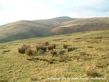
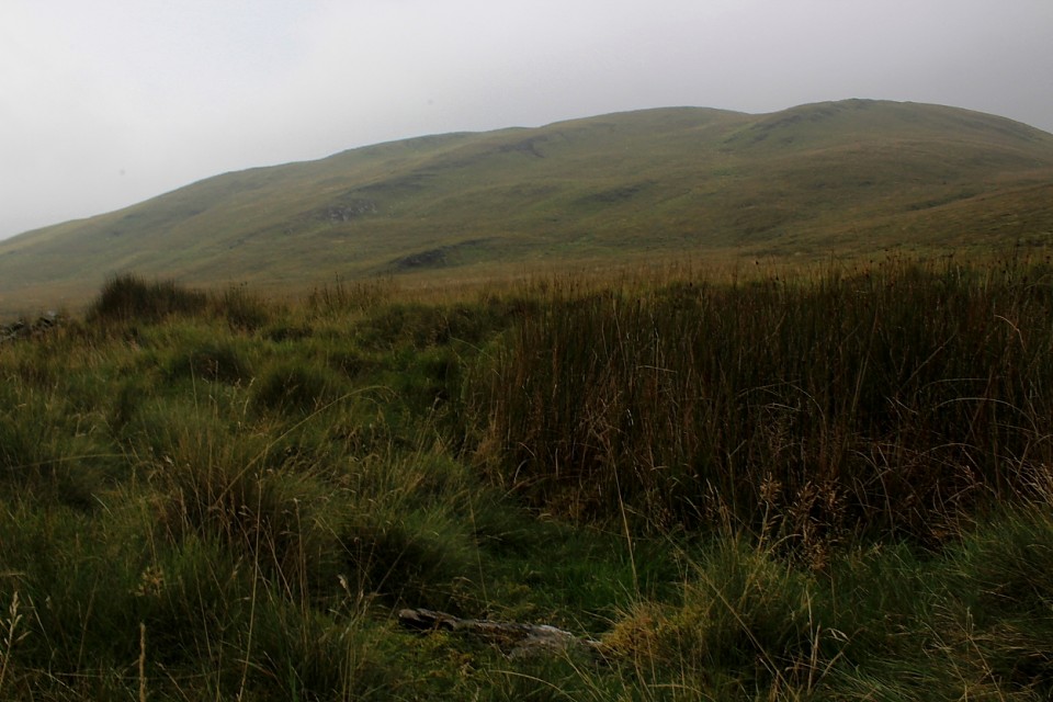
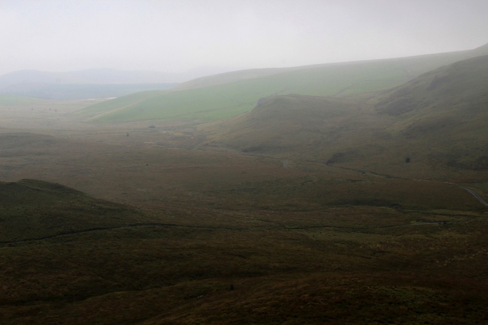
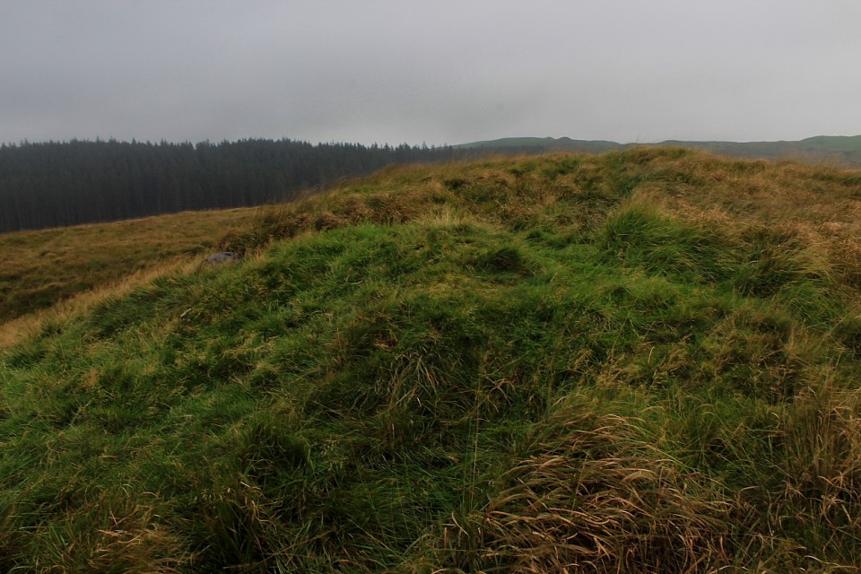
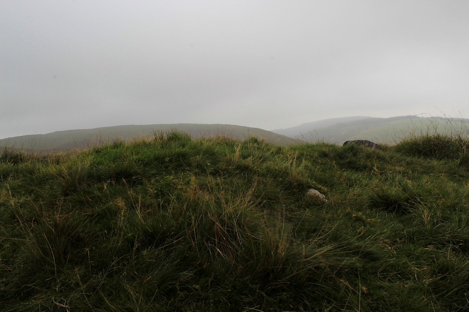
Fan, as the prosaic name suggests, is an elongated 'peaky ridge' rising to the west of the hamlet of Nantcwnlle, a little over a mile and a half distant from the great, sacred hill of Trychrug. Not to be outdone... it, too, is crowned by the remains of a formerly substantial Bronze Age cairn subsumed within a grassy mantle. Despite being "inadvertently levelled during pasture improvement" between 1996 and 1998, subsequent excavation in 2010-2011 discovered several cremation burials/cups/urns. So no doubts about said monument's prehistoric ancestry, then. [refer ARCHAEOLOGIA CAMBRENSIS Vol 162 - see misc link] The Citizen Cairn - suitably intrigued - approached via a pleasing footpath attained by taking the minor road exiting Bwlch-Llan to the northwest. Boasting sweeping panoramic views, this was a fine way to spend a blustery afternoon. A 'Peaky Blinder', perhaps? Furthermore, if time is not pressing, why not continue on to the wondrous Trychrug beckoning upon the skyline? Coflein reckons: "A disturbed circular cairn, c.21m in diameter, 1.6m high, set upon a summit, has produced a pygmy cup and possibly a bronze spear-head (see Briggs 1994 (Cardigan County Hist. I), 193 No.183)." [RCAHMW AP965053/42-3 J.Wiles 02.10.03] |
Posted by GLADMAN 7th February 2024ce |
Nant Geifaes (Round Barrow(s)) — Images (click to view fullsize) |
|
Posted by GLADMAN 3rd February 2024ce |
Esgair Nant-y-Moch (Cairn(s)) — Images |
|
Posted by GLADMAN 30th January 2024ce |
Showing 1-10 of 1,834 posts. Most recent first | Next 10