The Modern Antiquarian
Log in
|
Register
Home
Latest Posts
Forums
Maps
Help
Browse Sites
News
Blog
Contributors
The Books
Select
-
Belgium
Denmark
Eire
France
Germany
Greece
Italy
The Netherlands
Norway
Portugal
Republic of Malta
Spain
Sweden
Switzerland
United Kingdom
Wales
Powys
County
Powys (County) on The Modern Antiquarian, the UK & Ireland's most popular megalithic community website. The site also contains a vast wealth of information on many more ancient sites across the UK & Ireland.
Afon Disgynfa © Natterjack
Due to the number of sites, Powys has been divided into the three historic counties of Brecknockshire, Montgomeryshire, and Radnorshire. If in doubt where to add your site, the Coflein map search
http://www.coflein.gov.uk/en/search/
may be useful.
See individual sites for details
Added by
TMA Ed
1 discussion topic
Start a topic
Show |
Hide
Web searches for Powys
Flickr
Google
Google Images
Stone Pages
Wikipedia
- Add -
-
Add news
Add an image
Add fieldnotes
Add folklore
Add miscellaneous
Add a link
Add a nearby facility
Add an alternative name/spelling
Sites/Groups in this region:
252 sites
Brecknockshire
133 sites
Montgomeryshire
2 posts
111 sites
Radnorshire
Latest posts for Powys
Filter:
-------
News only
Images only
Fieldnotes only
Folklore only
Miscellaneous only
Links only
Showing 1-10 of 5,203 posts. Most recent first |
Next 10
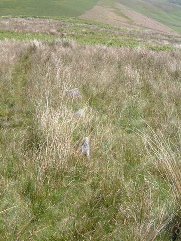
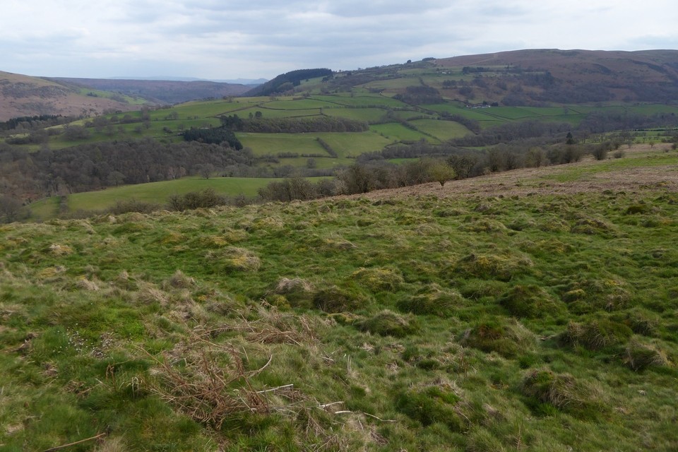
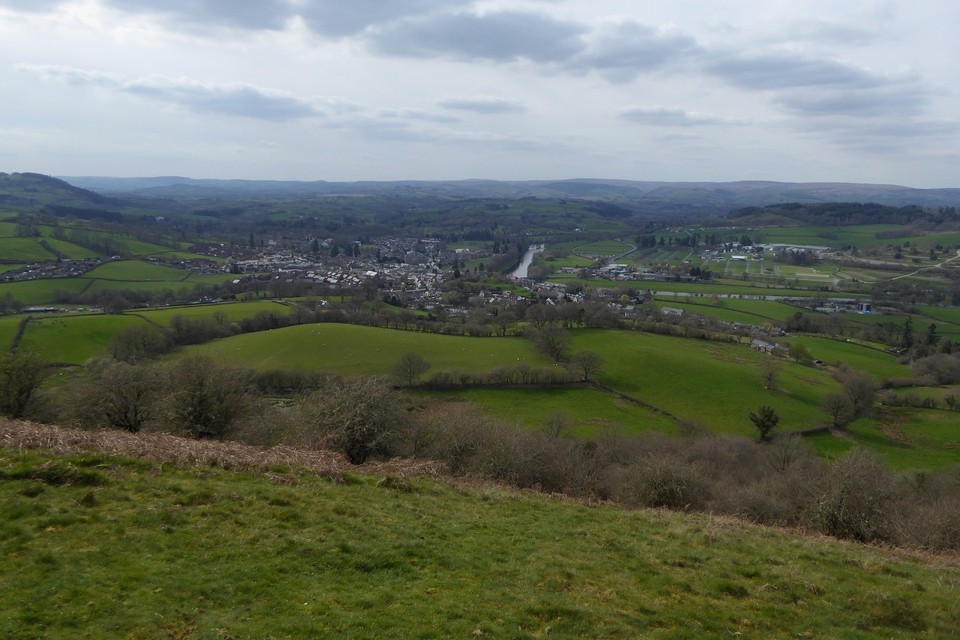
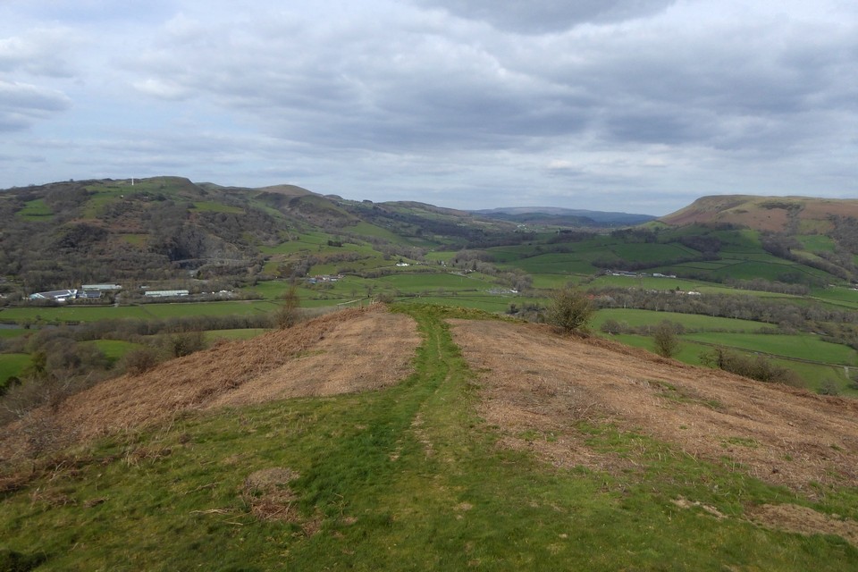
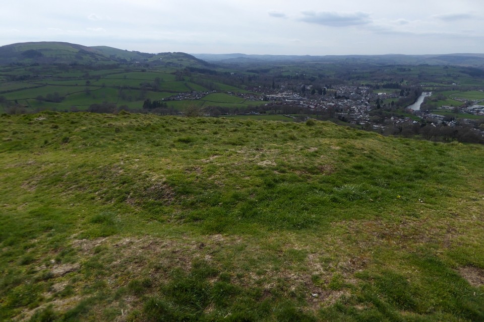
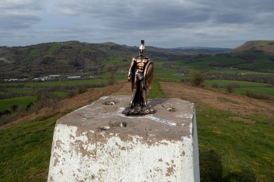
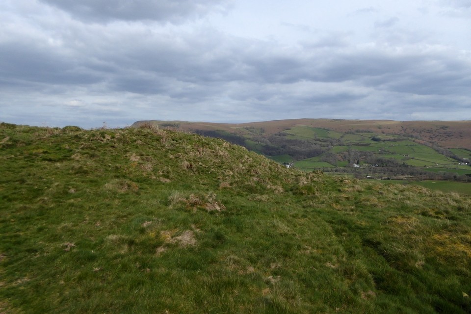
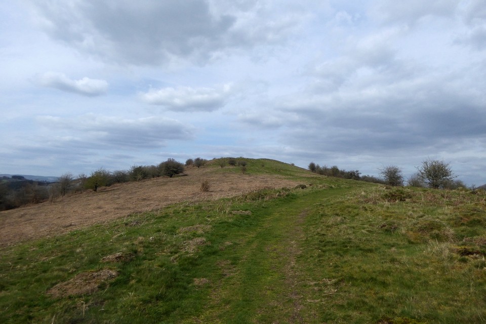
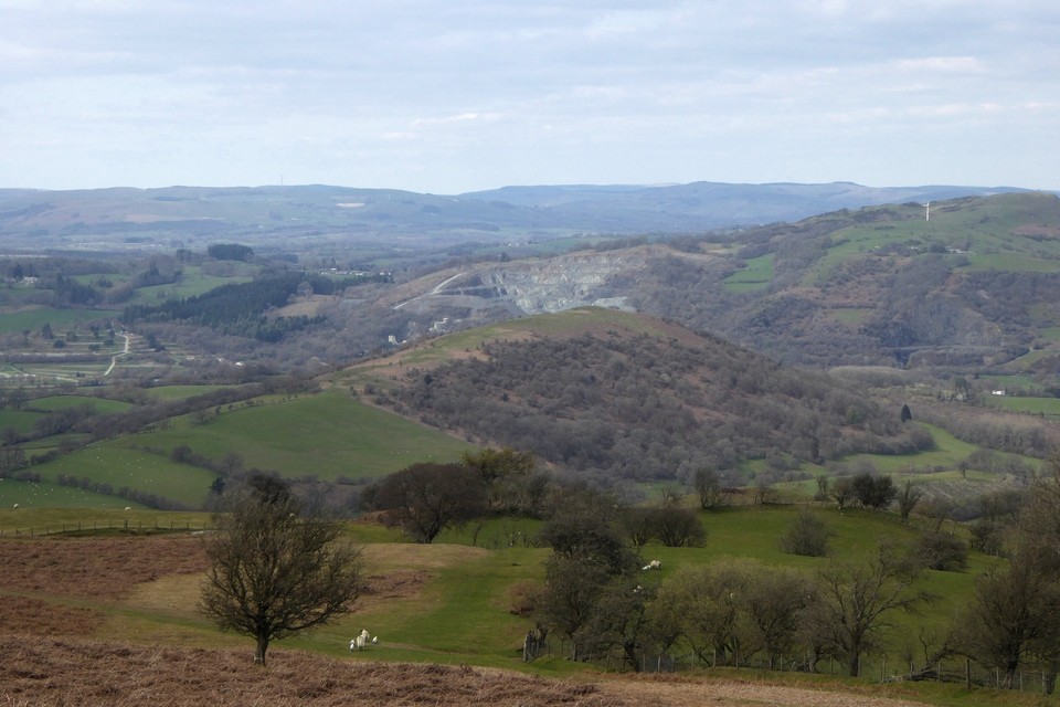
Garth (Duhonw)
(Hillfort) — Images
(click to view fullsize)
Posted by
thesweetcheat
8th April 2024ce
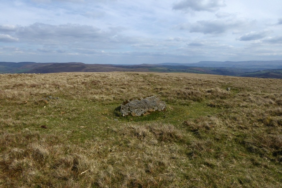
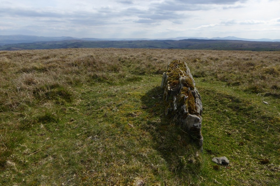
Banc y Celyn
(Stone Circle) — Images
Posted by
thesweetcheat
8th April 2024ce
Showing 1-10 of 5,203 posts. Most recent first |
Next 10


 Posted by thesweetcheat