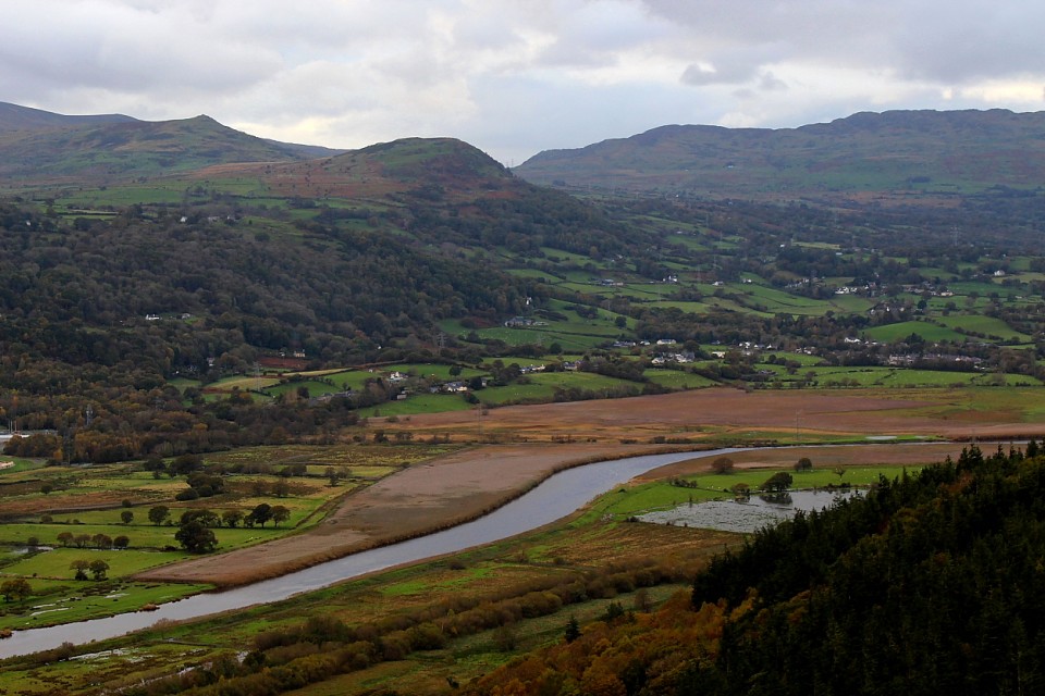
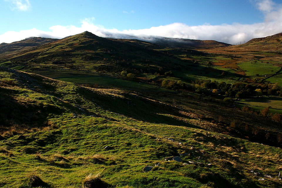
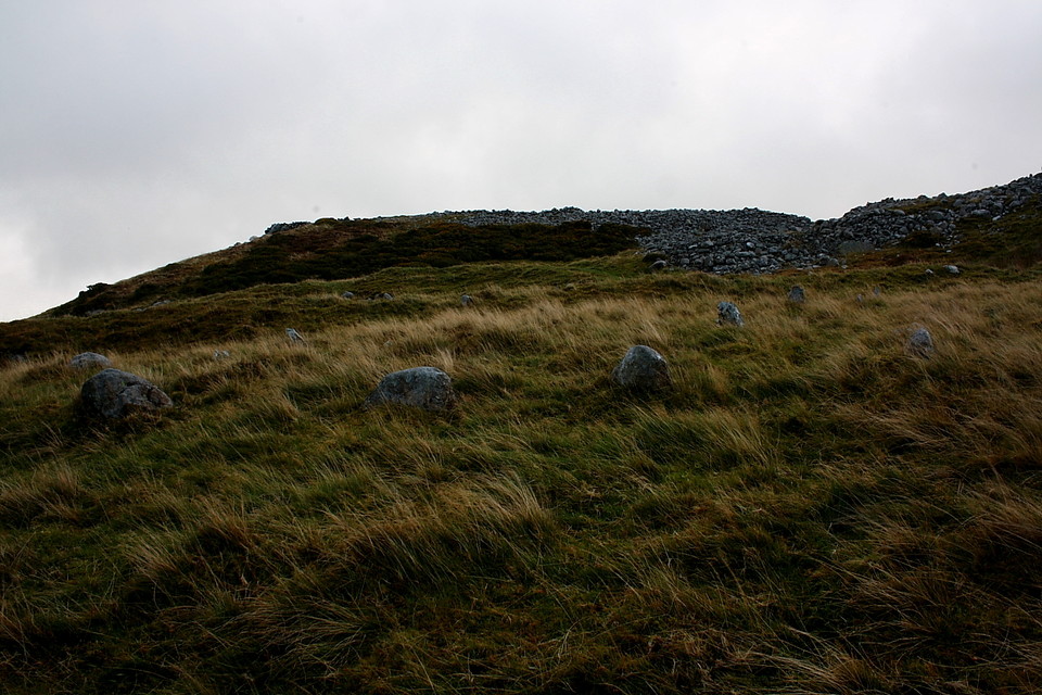
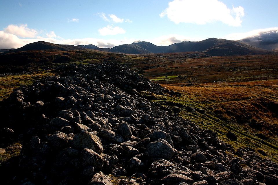
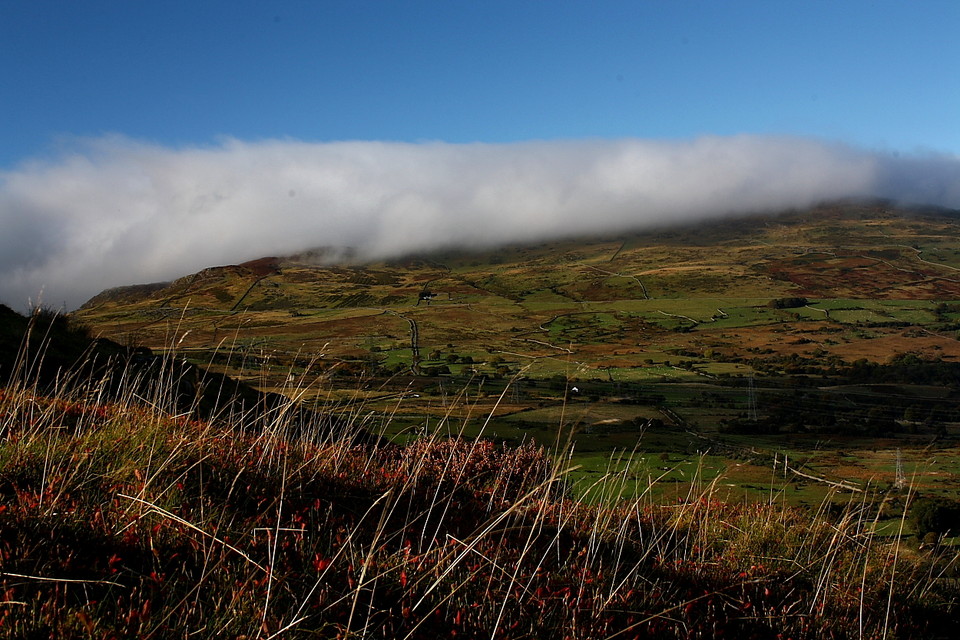
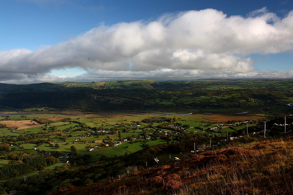
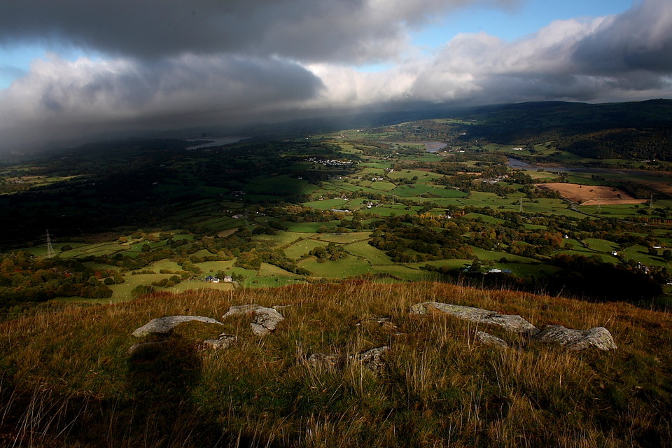
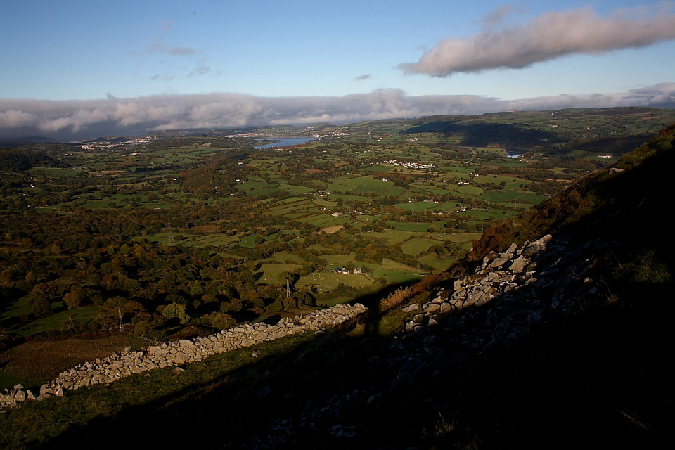
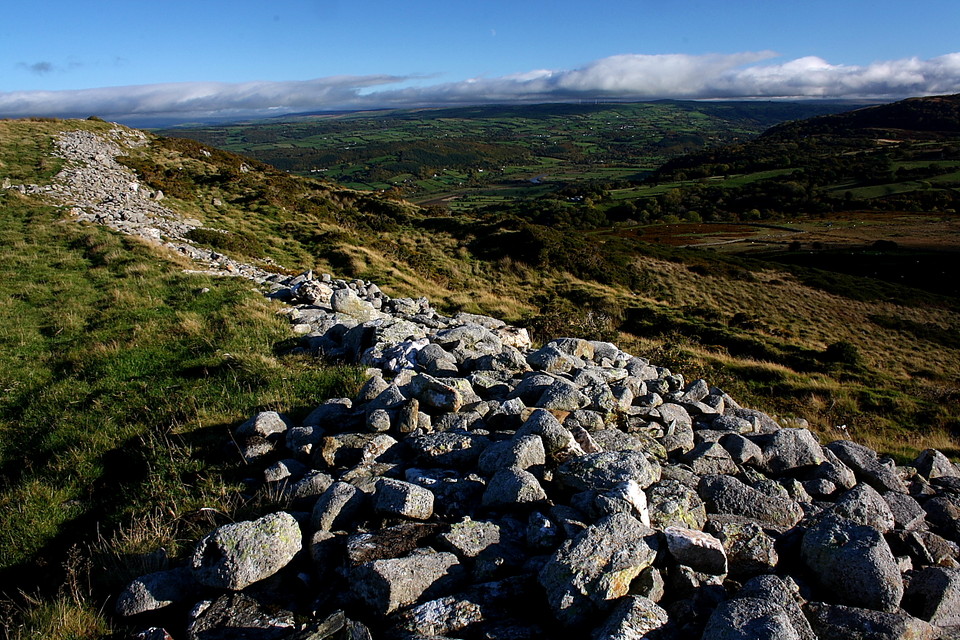
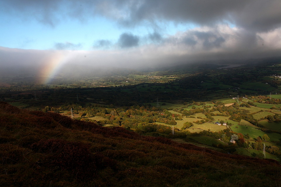
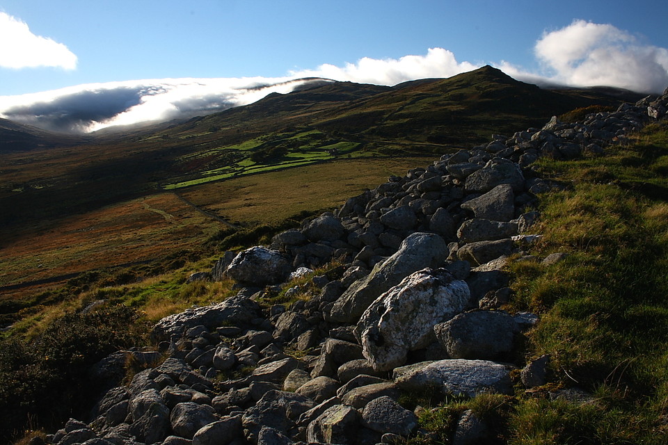
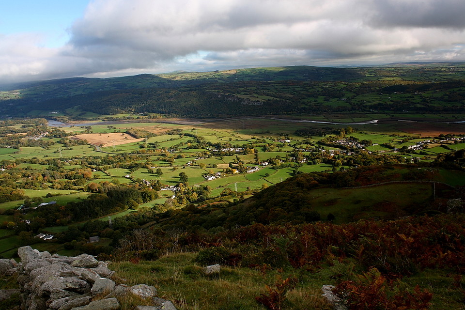
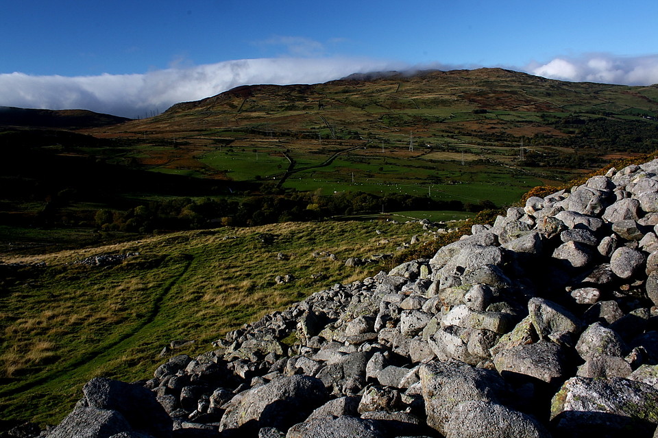
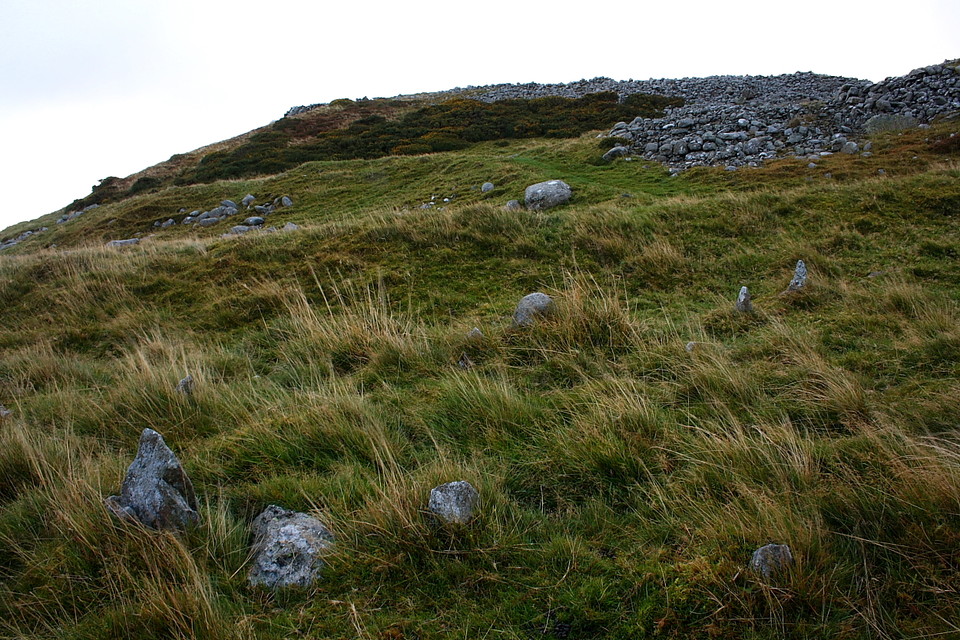
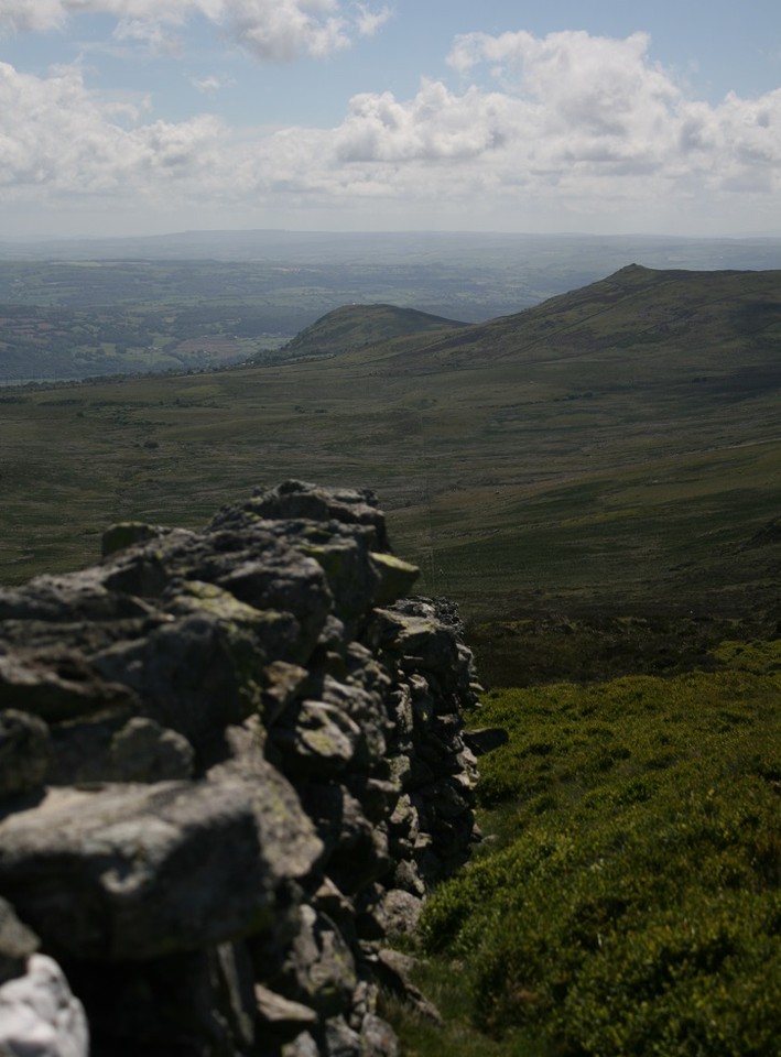
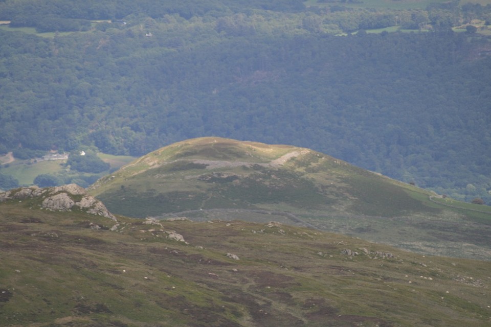
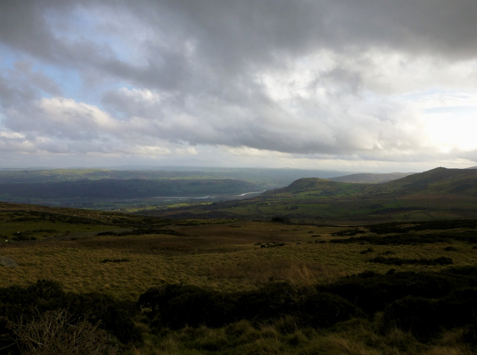
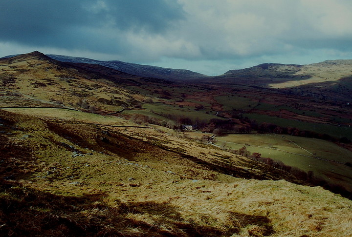
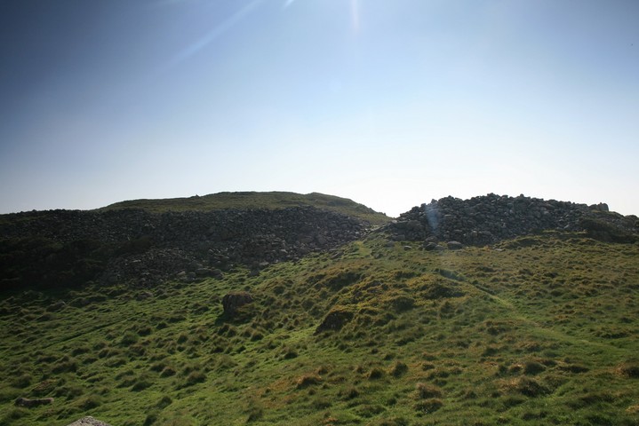
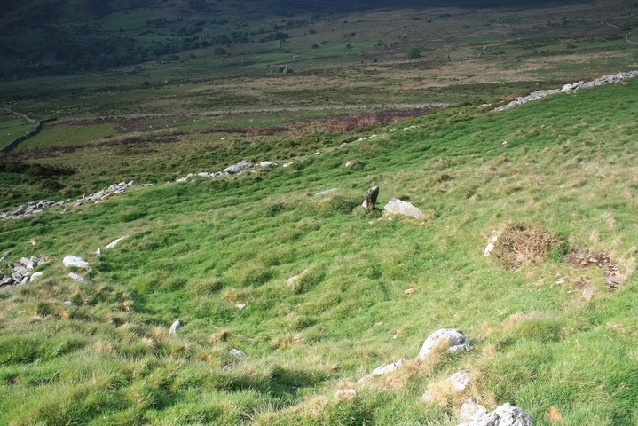
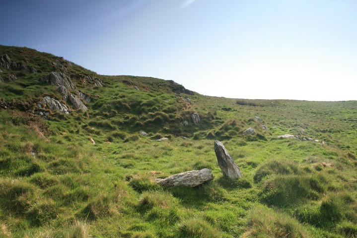
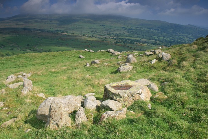
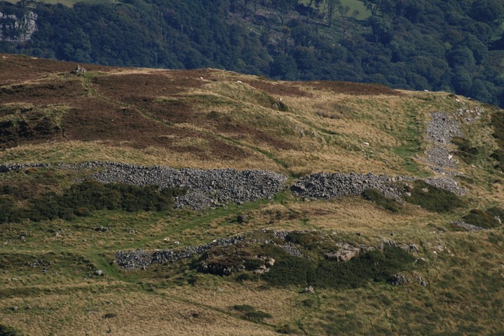
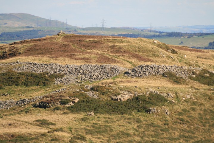
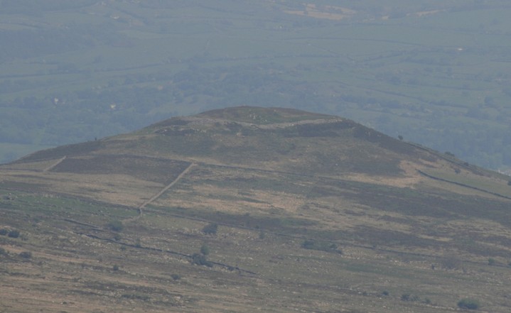
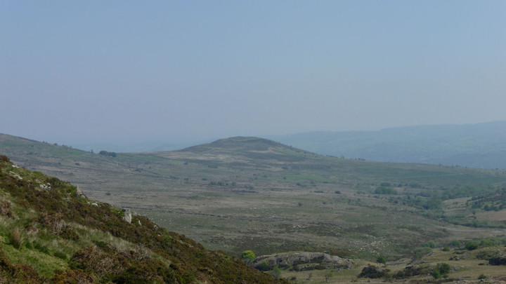
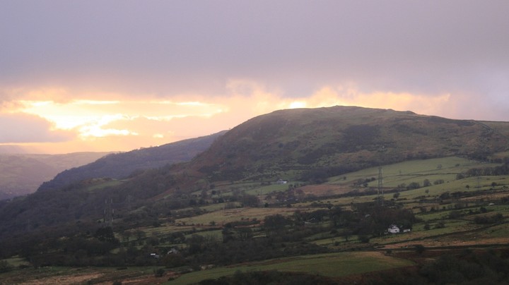
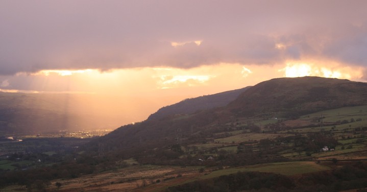
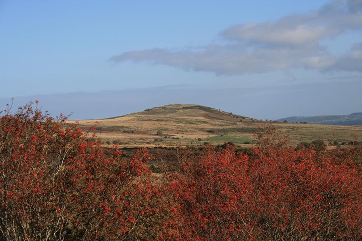
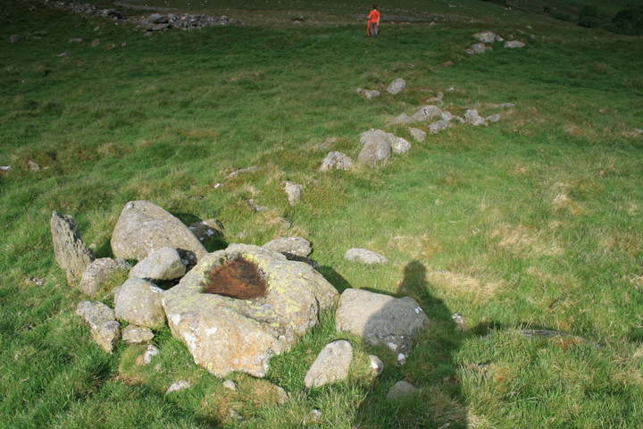
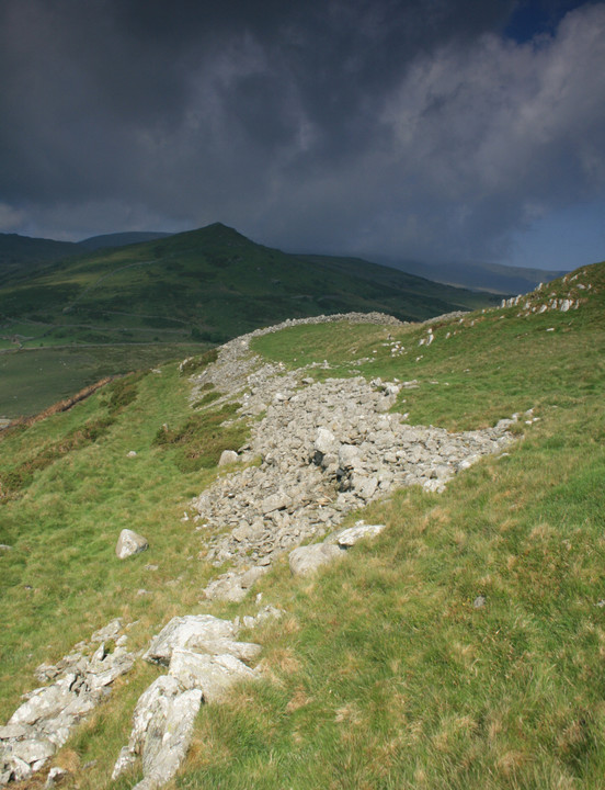
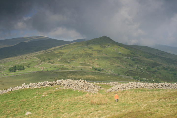
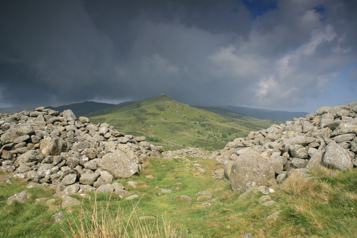
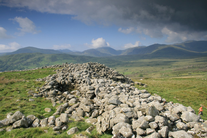
It was about 8.00am when we parked the car on the forts northern side and it took about 20 minutes to get up.(I had a 6yr old in tow, don't look at me he wanted to come) First to be reached was what looked like a dwelling of some sort with a stone that had red water resting in a hollow on it, presumably this is the place where iron working was done. From there we can see a chevaux-de-frise, lots of short pointy stones used to impede any attackers, something I don't think Ive seen before. Then going up the hill through two stone built entrances the upper one still large and impressive with the thick walls reaching off around the hill. There are more obvious round huts on the southern side one even has doorposts. The view from the top is beautiful looking down to the river or staring of into the mountains, one could sit here quite a while, if your alone that is, this is the best place to have a defended settlement along the river because it juts right out away from the mountains and into the valley, further along the valley I could see the smaller Caer Bach .
Lady Guest suggests in her notes to the Mabinogion story 'Math the son of Mathonwy' (online at the Sacred Texts Archive, http://www.sacred-texts.com/neu/celt/mab/mab27.htm
that Pen-y-Gaer is the location of Caer Dathyl, where Math is supposed to have held his court. The story does include lots of geographical spots / placenames, so this could be more than just a wild guess.
Llanbedr, on the hills above the Llanrwst road about six miles from Conway, is well worth a visit, were it only for the opportunity of seeing one of the most remarkable ancient primitive fortifications preserved in this country. It is called Pen Caer Helen, and is situated on the summit of a hill about a mile from the village.
Pennant is, I believe, the only writer who has described this remain from original observation. He notices it as "a British post of great strength, and in some parts singularly guarded. It had the usual fosses and vast ramparts of stones, with some remains of the facing of walls, and the foundations of three or four round buildings."
Notwithstanding that many of the stones of this fortification have been taken away for use in modern division walls and sheep-pens, the remains are still very extensive, and show clearly the extent of the ancient huge dry-stone ramparts. But the chief peculiarity of this fortified post consists in the curious fact that, near the out walls, on the western side, are two large spaces of ground thickly set with small sharp-pointed stones, placed upright in the ground; a peculiarity which I cannot find is noticed in regard to any other similar work, and which seems to defy the probability of our discovering a plausible explanation.
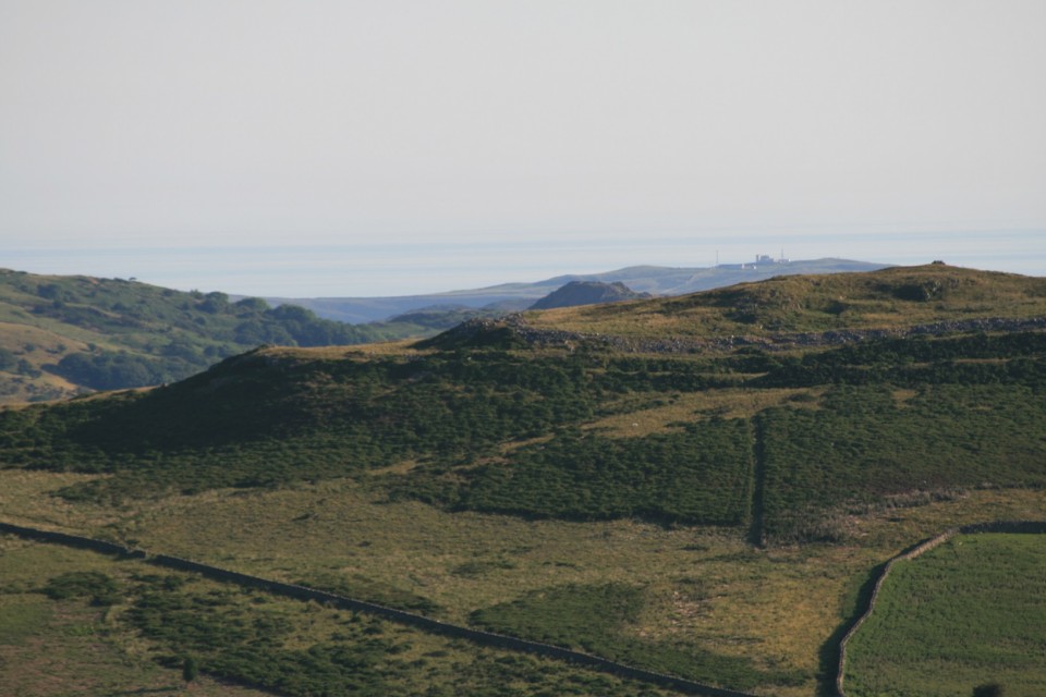
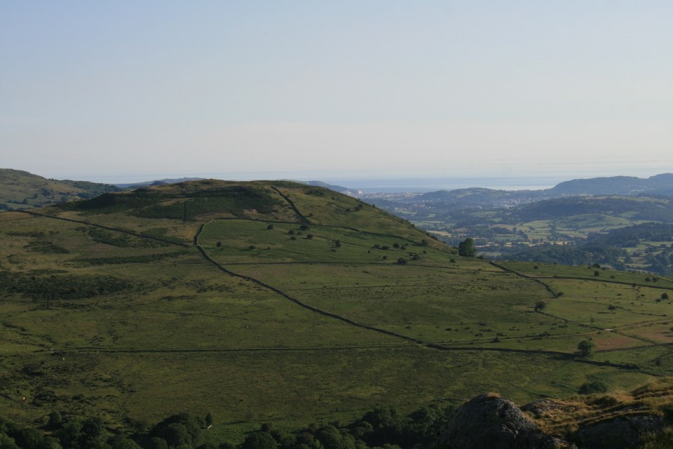
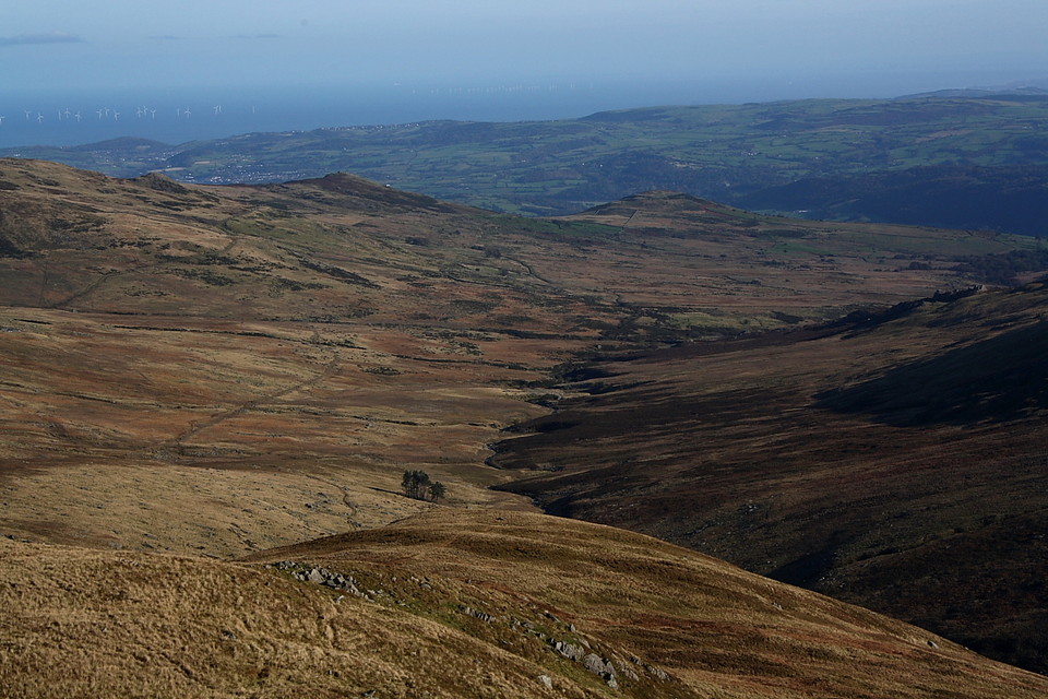
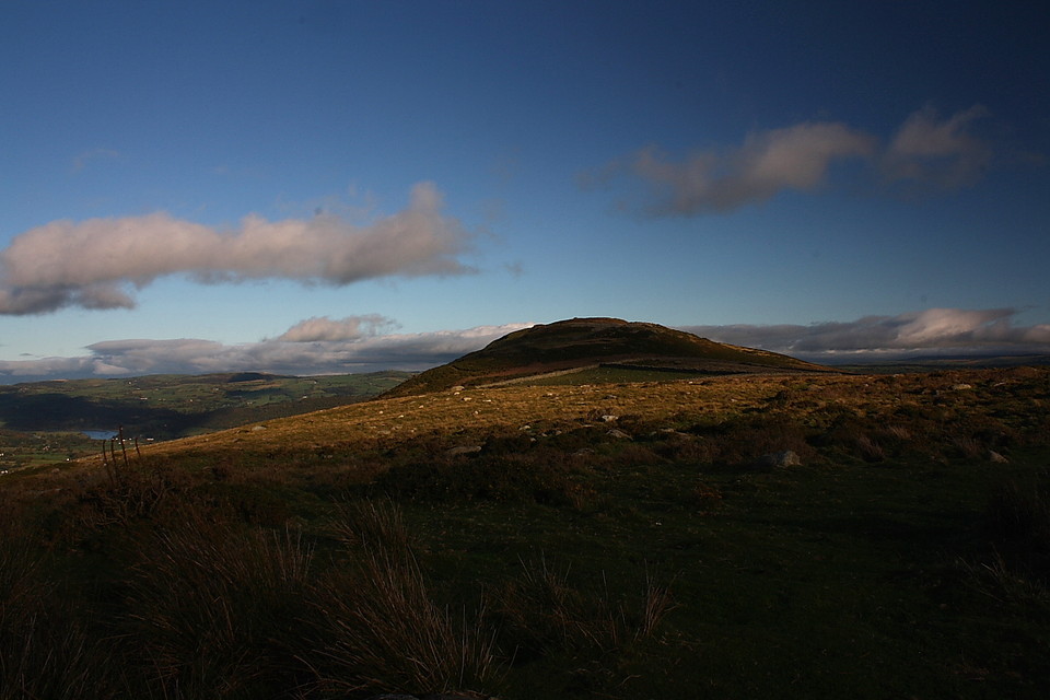
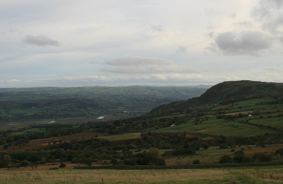
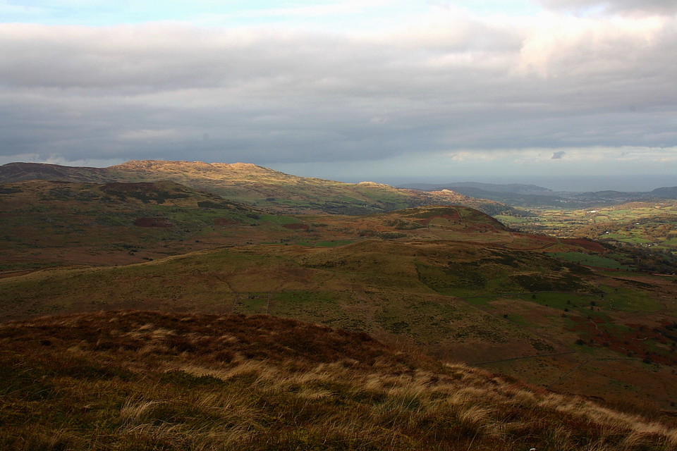
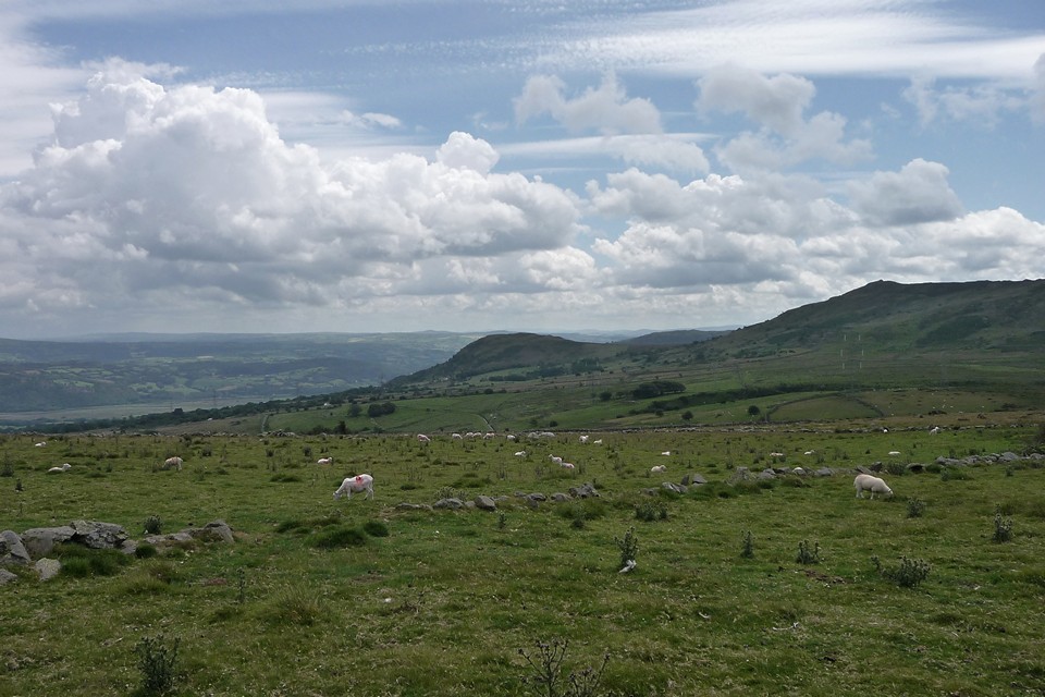
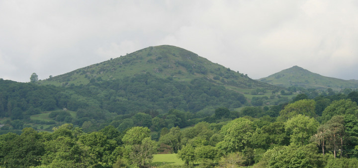
From this spot the views are extensive, reaching on one side over the vale of Conway and the Denbighshire hills, and on another over a sterile waste up to Carnedd Llewelyn.
From p127-8 of 'Notes of Family Excursions in North Wales', by J. O. Halliwell, 1860.
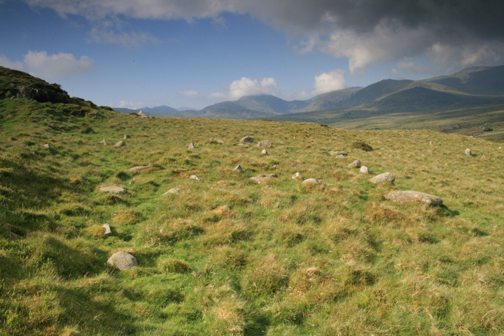
Coflein lists many barrows and settlement traces here, and mentions that one of the hut circles showed evidence that iron working had been carried out there.


 Posted by postman
 Posted by Rhiannon