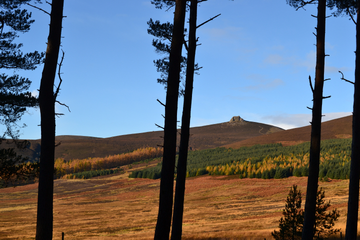
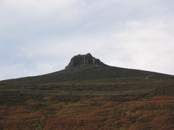
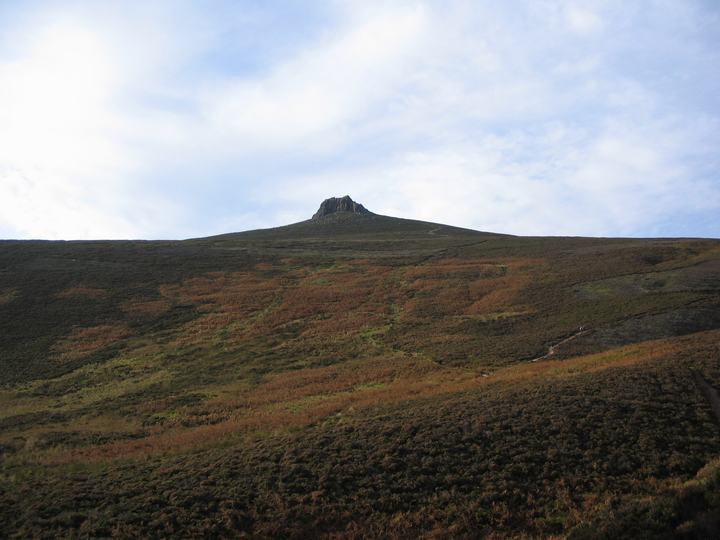
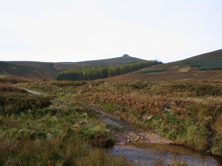
Clachnaben (or Clach-na-ben) is a near 600m hill south of Banchory, topped with a massive granite plug. Visible from miles around, it has given rise to the rhyming couplet "Clachnaben and Bennachie, Are twa landmarks frae the sea" and the similarities to Bennachie are obvious.
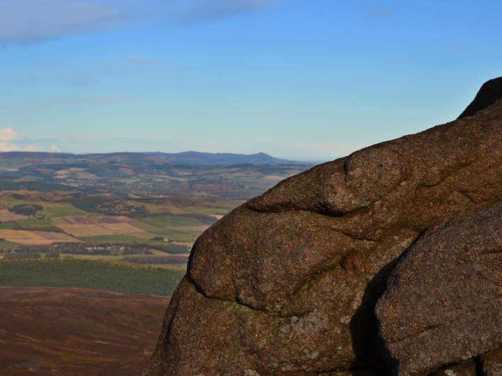
Accessed from a small car-park on the B974 a good, but sometimes steep track will take you to the summit. Passing through pine forest, across moorland, around a small wood and finally up to the summit, you get most of natural Scotland in a 4 mile return walk. The tor dominates the skyline, and changes at each angle of the approach. Once there, an easy scramble to the top gives massive views 360 degrees around - Bennachie & Lochnagar can be seen, and if the view is clear, you can see the North Sea, and down to the firth of Tay.
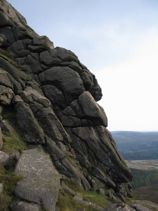
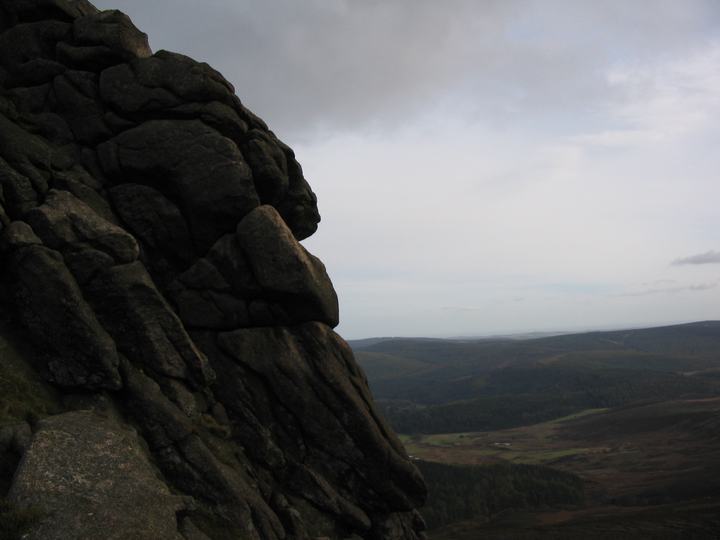
Whilst not famous for it, I'm sure a 'face' can be made out on the southern side of the Tor-see my photos. From the comments of other people up there, I'm not the only one to see it.

 Posted by Chris