Above the B4348 looking down into the aptly named Golden valley is cross lodge, I parked half way up the hill and walked towards two houses but on arrival they turned out to be empty farm buildings but luckily the farmer turned up on his quad and was only too happy to let me go have a look he even gave me directions . Inbetween the buildings and barrow stop and have alook at the hollow old oak tree, well impressive.
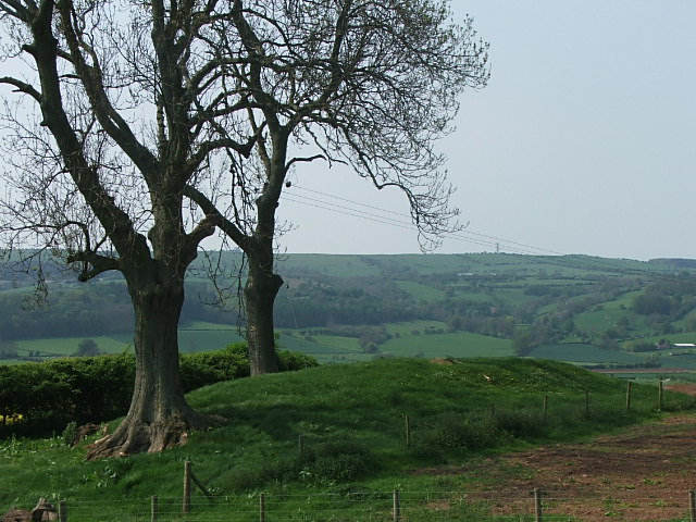
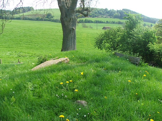
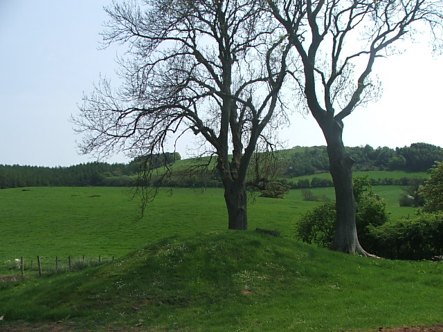
The barrow sits comfortably in the corner of a field with two Ash trees growing out of its southern end, on top of the barrow are a few large stones but they don't look insitu because they're aren't stuck in just resting on top from on top we can see the original extent of the barrow which has been badly ploughed.Looking at the map the barrow is part of an alignment with Arthurs stone and in the middle the line skims the western rampart of Dorstone hillfort, probably fotuitous because there are a few more sites looking down into the valley which aren't in line.
I could have stayed here for ages but was getting plagued by loads of flying black bugs.
A really beautiful place.
300m from Llanafon farm stands this long mound on a west facing slope at 180m above sea level. The nortern end of the mound has been damaged by ploughing, but still measures 18m x 10m and 2.5m tall.
Lithic scatters were found all around dating from the Mesolithic to the Bronze age. The large Neolithic settlement of Dorstone hill is just 4.5 km to the S.E .


 Posted by postman