|
|

|
|
East Mainland
|
|
|
|
Sites in this group:
|
6 posts
Backland Broch |
10 posts
Berstane Broch Broch |
1 post
Breck |
|
3 posts
The Brough Ancient Village / Settlement / Misc. Earthwork |
9 posts
Castle Howe Ancient Village / Settlement / Misc. Earthwork |
5 posts
Craw Howe Cairn(s) |
|
10 posts
Dingieshowe Broch |
7 posts
Eves Howe Broch |
9 posts
The Five Hillocks Barrow / Cairn Cemetery |
|
6 posts
Hall of Gorn Barrow / Cairn Cemetery |
7 posts
Hawell Burnt Mound / Fulacht Fia |
10 posts
2 sites Hillhead |
|
4 posts
Howan Blo Cist |
1 post
Howe of Staneloof Long Barrow |
5 posts
The Howie of The Manse Broch |
|
9 posts
Hurnip's Point Chambered Cairn (Destroyed) |
14 posts
Lamb Holm Ancient Village / Settlement / Misc. Earthwork |
6 posts
Laughton's Knowe Round Barrow(s) |
|
17 posts
Loch of Tankerness Ancient Village / Settlement / Misc. Earthwork |
62 posts
Long Cairn Long Cairn |
15 posts
Long Howe Cairn(s) |
|
5 posts
Millfield Burnt Mound / Fulacht Fia |
51 posts
Mine Howe Burial Chamber |
14 posts
Mussaquoy Artificial Mound |
|
7 posts
Newark Souterrain |
11 posts
North Howe Chambered Cairn |
14 posts
Riggan of Kami Broch |
|
12 posts
Round Howe Broch (Destroyed) |
18 posts
South Howe Long Cairn |
12 posts
Stembister Standing Stone / Menhir |
|
8 posts
St. Mary's Broch Broch |
11 posts
St. Peter's Bay Broch |
7 posts
St Peter's Kirk Burnt Mound / Fulacht Fia |
|
8 posts
Tower of Clett Burnt Mound / Fulacht Fia |
11 posts
Venikelday Ancient Village / Settlement / Misc. Earthwork |
1 post
Yinstay Souterrain (Destroyed) |
Sites of disputed antiquity:
|
3 posts
Burn of Langskaill Ancient Village / Settlement / Misc. Earthwork |
5 posts
The Cairn Artificial Mound |
4 posts
Comely Cairn(s) |
|
8 posts
The Five Hillocks Barrow / Cairn Cemetery |
4 posts
Mecigar Standing Stones |
4 posts
Nearhouse Artificial Mound |
|
5 posts
Scapa Round Barrow(s) |
4 posts
Staneloof Cairn(s) |
3 posts
Ston Loe Round Barrow(s) |
|
1 post
St. Nicholas Church Cup Marked Stone (Destroyed) |
6 posts
Whitecleat |
News |
|
|
BA cist on Hill of Heddle found last week https://www.orca-archaeology.org/orca-blog/bronze-age-burial-unearthed-at-finstown-sub-station-excavation-orkney?fbclid=IwAR23HM60fn1ThL5naavm0yo4l0789eE0JDfSvqXQjCsciES5zUR2Fl5RFmw |
7th May 2019ce |
Brough of DeernessThe promised excavations are finally underway. The head is in favour of a Viking chief's settlement, the traditional view is an early Viking monastery, but they don't rule out something previous http://www.bbc.co.uk/radio/aod/scotland_aod... continues... |
8th July 2008ce Edited 8th July 2008ce |
Fieldnotes |
|
| Coming up on the road from south to Stem Howe with a low autumn sun delineating the various shapes made by the knowes and picking out features on them. The whole is so much sculpted that it is no longer a moraine, if ever it was. Seem to be various levels too. Thought this to be only the upper part but this is an ilusion of time passing sentence on the steeper bits. Partway up the southern edge where it nears the the road the harsh sunlight brings into relief a low ridge, only a couple of feet across a few inches high, forming an edge to the mound as if to stop visitors falling unawares. This looks to stop just where the most man-alters bit starts. I notice it begins at the top end of a twisted rectangular hollow or depression, which doesn't look to be from antiquarian investigation, though possibly a long scoop. |
1st November 2010ce |
Latest posts for East Mainland |
Showing 1-10 of 478 posts. Most recent first | Next 10 
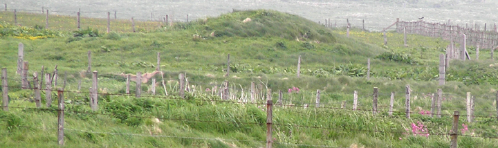
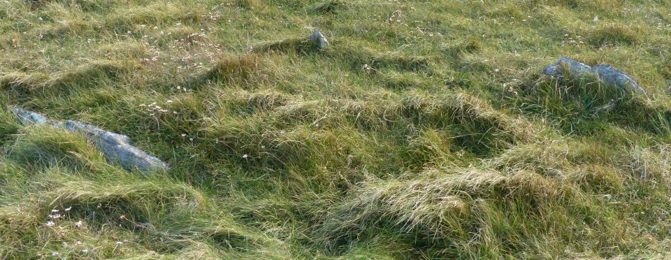
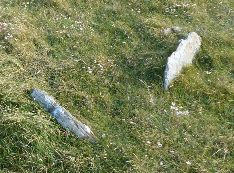
The Five Hillocks (Barrow / Cairn Cemetery) — Images (click to view fullsize) |
|
31st January 2022ce |
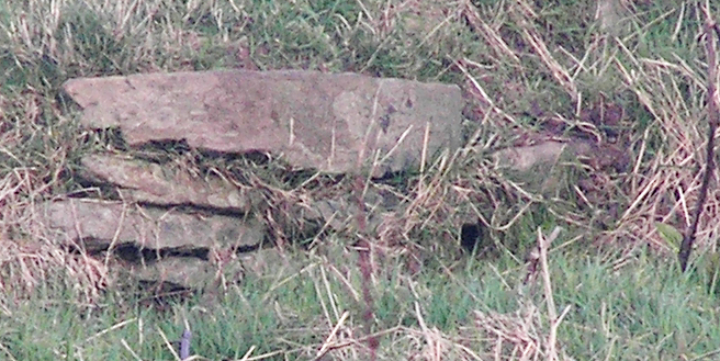
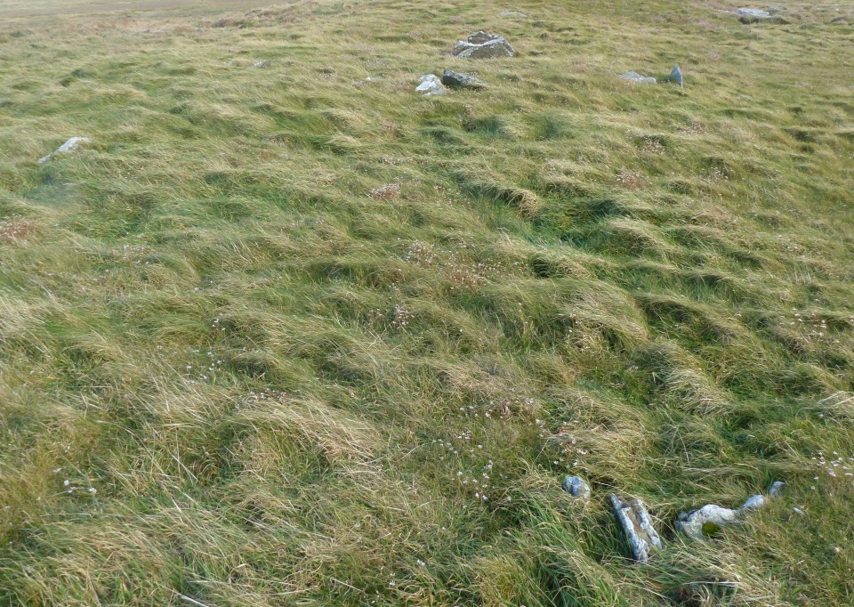
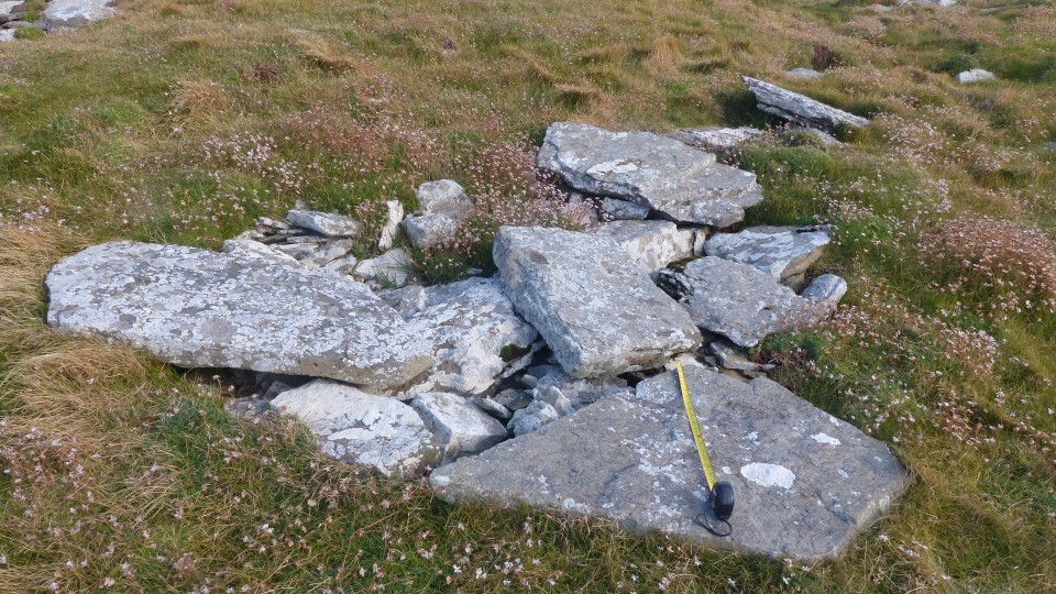
South Howe (Long Cairn) — Images |
|
24th March 2021ce |
Showing 1-10 of 478 posts. Most recent first | Next 10