|
|

|
D12 EextHunebed
|
||||||||||||||||||
|
|
|
Images (click to view fullsize) |
|
Photographs: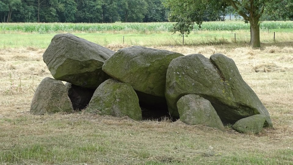
 Maps / Plans / Diagrams:
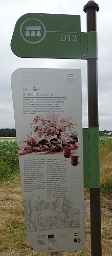
|
Fieldnotes |
|
|
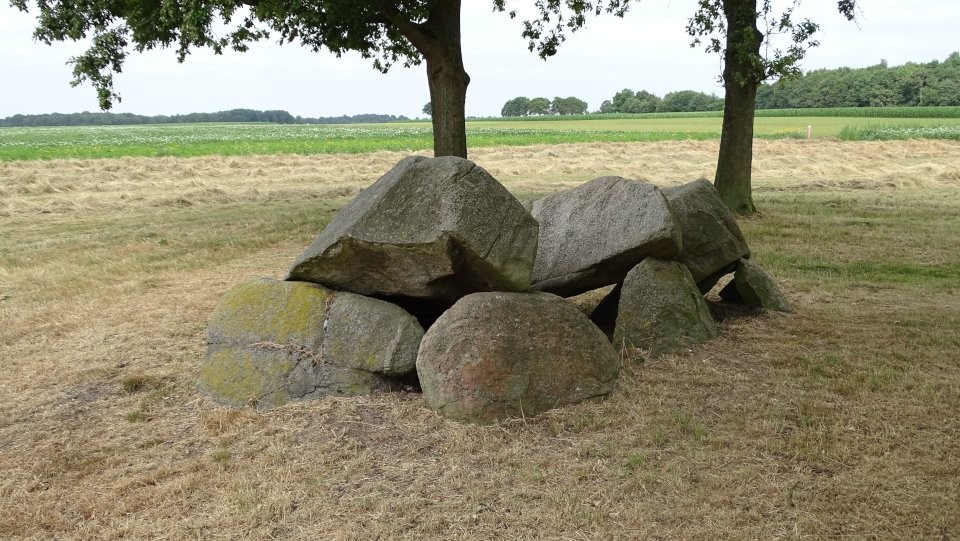
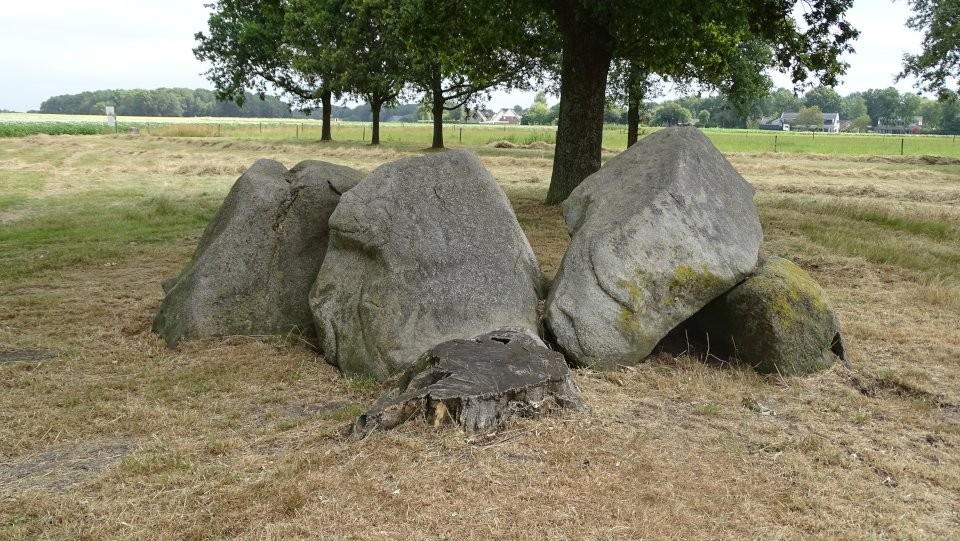
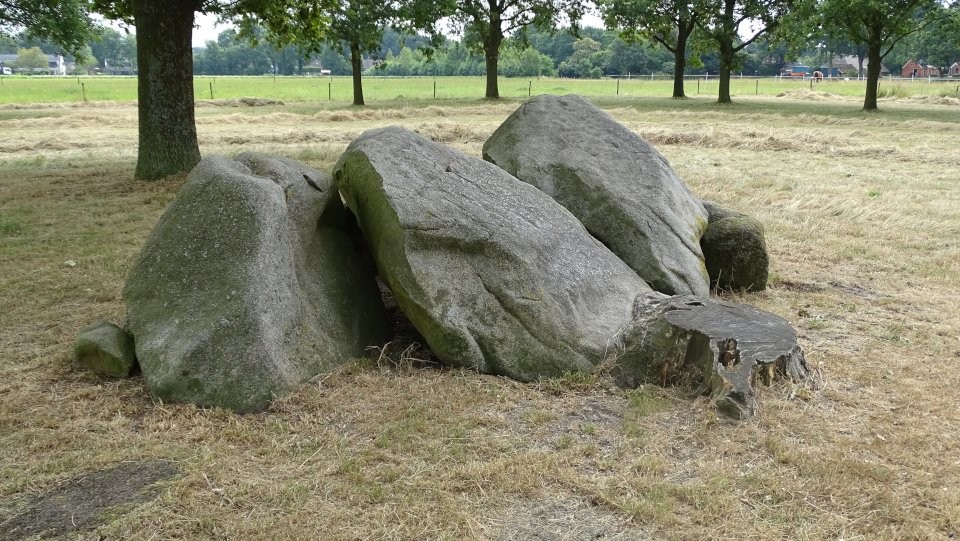
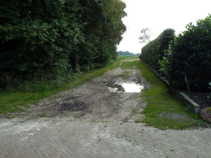
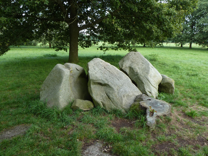
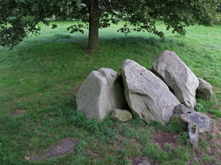
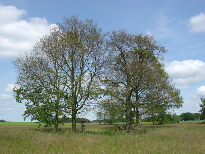
One of the less attractive Hunebed in Drentsche Aa National Park, but mainly because there are so many other more appealing Hunebeds in the vicinity. All that remains are seven stones, all three capstones are titled to one side, as all supporting stones on the western side are missing. Like Les Hamiltion mentioned in his fieldguide there is now a signed access from Anderensweg heading north, but nevertheless I would recommend to follow his instruction via Venakkers street, especially if you arriving by car as this approach will keep you longer on a tarred road. Visited July 2018 |
21st July 2018ce Edited 21st July 2018ce |
|
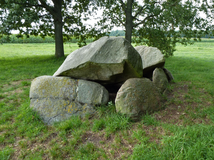
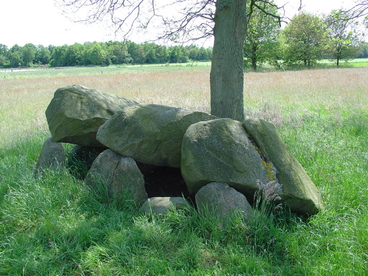
Visited: September 13, 2013 There's not a lot to say about Hunebed D12 Eext. Originally a small hunebed consisting of eight sidestones and four capstones, it has degenerated into little more than a stoneheap. Several of the stones have been robbed and, although A E van Giffen marked their positions with concrete inserts, these are nowadays often hidden beneath the grass. Hunebed stones often provide good surfaces for the growth of lichens and you will find the south-facing stones here to be covered with them. The bright yellow one is Candelariella vitellina. On a positive note, the large tree that had long been growing hard up against the hunebed has now been felled, opening up the aspect of the site. Hunebed D12 sits in a rectangular patch of land containing a number of trees within a large field known as Kampakkers to the southwest of the village of Eext. It is by no means obvious how to access it. I found the best approach was along a street called Venakkers which curves round the western boundary of the village (the last street to the west of Eext). As you head north up Venakkers the tarred road suddenly changes to a brick one immediately past house No 21 on the left-hand side. Between this house and the next one a farm track heads west into the fields. Keep following this track for 300 metres and you are there. Disappointingly, there are no signs along this route to guide you to D12 until you are a mere 50 metres short of your goal; perhaps this is because there is now an allternative new approach. After visiting the hunebed, I was walking through Eext when I noticed a green 'Hunebed Sign' a short distance along Anderensweg, the road joining Eext with the neighbouring village of Anderen to the southwest. This was directing hunebed visitors northward into Kampakkers. I did not pursue this, but it would seem to be a new, easier route to D12. You can view a short video about hunebed D12 Eext on YouTube. |
 Posted by LesHamilton
25th September 2013ce Edited 11th March 2023ce |
Links |
|
D12 Eext-Es - De hunebedden in Drenthe en Groningenwith 3d model, short video (in Dutch), pictures and further information |
21st July 2018ce Edited 21st July 2018ce |
Hans Meijer's Dolmens in the Netherlands |
 Posted by Jane
30th July 2007ce |