|
|

|
|
|
|
Showing 1-50 of 2,816 posts. Most recent first | Next 50
Showing 1-50 of 2,816 posts. Most recent first | Next 50
|
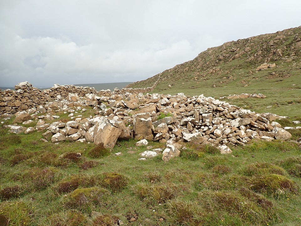
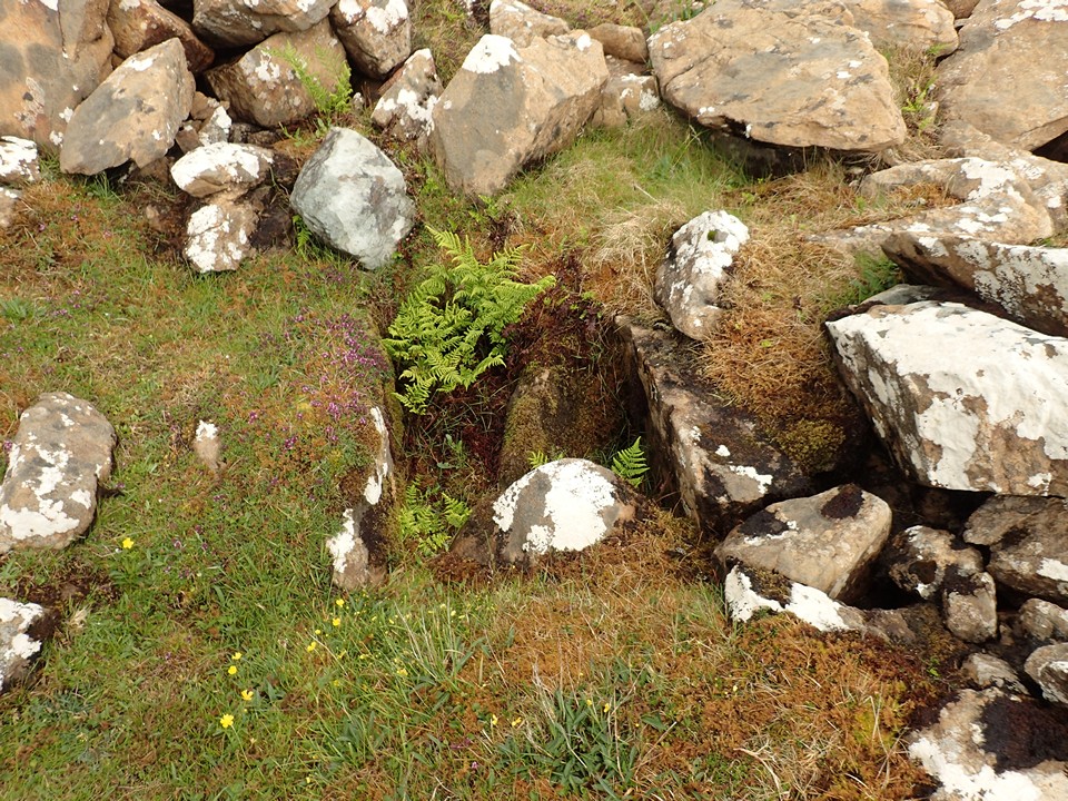
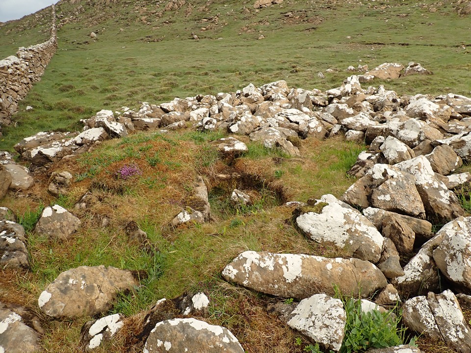
Snaps of the stuff we see along the way https://www.flickr.com/photos/spaceways/ https://toot.community/@Spaceways My TMA Content:
|